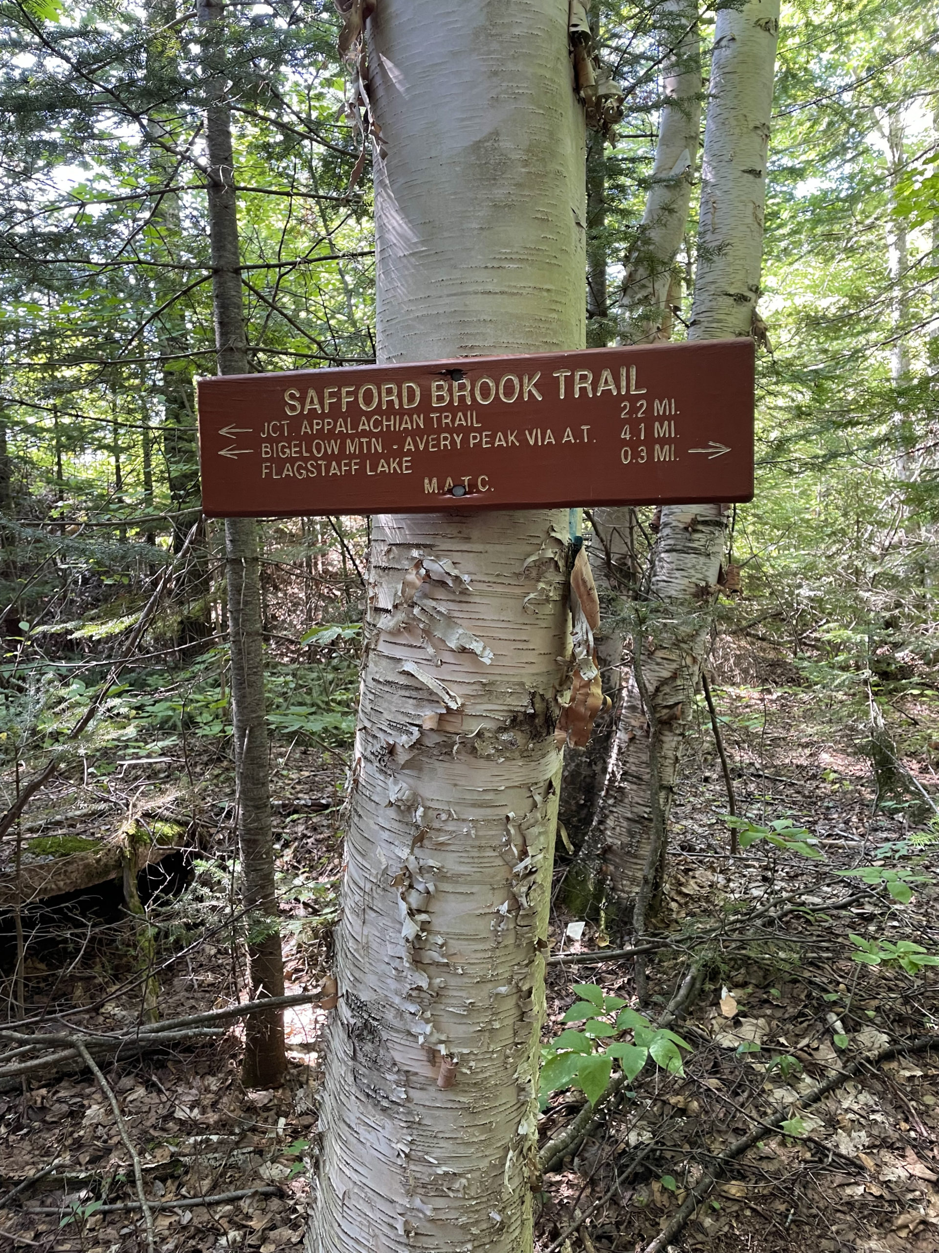
Safford Brook Trail to Appalachian Trail
West Peak 4150 ft | Avery Peak 4090 ft
The story of how Bigelow Preserve came to be is a classic Maine tale: Call us Vacationland, but don’t tell us what to do with our land.
In the mid 1960’s, the governors of the six New England states were cooking up a plan to bid for hosting the 1976 Winter Olympics. Bigelow Mountain, which consists of five major peaks (two 4000+ footers) was among nineteen mountains deemed suitable for ski events. Private developers started pouring money into the project, touting the would-be resort as the ‘Aspen of the East.’ Funding challenges and legal complications ensued, and eventually the Maine Land Use Regulation Commission blocked development of Bigelow Mountain and placed the land in a protected zone. Meanwhile, the Friends of Bigelow waged a campaign claiming the development would result in increases in crime, taxes, cost of living, and no trespassing signs. They also believed the jobs created by the project would be given to out-of-staters.
And with that final claim, they hit a nerve. If there’s one thing Mainers can’t abide, it’s people from away taking our jobs.
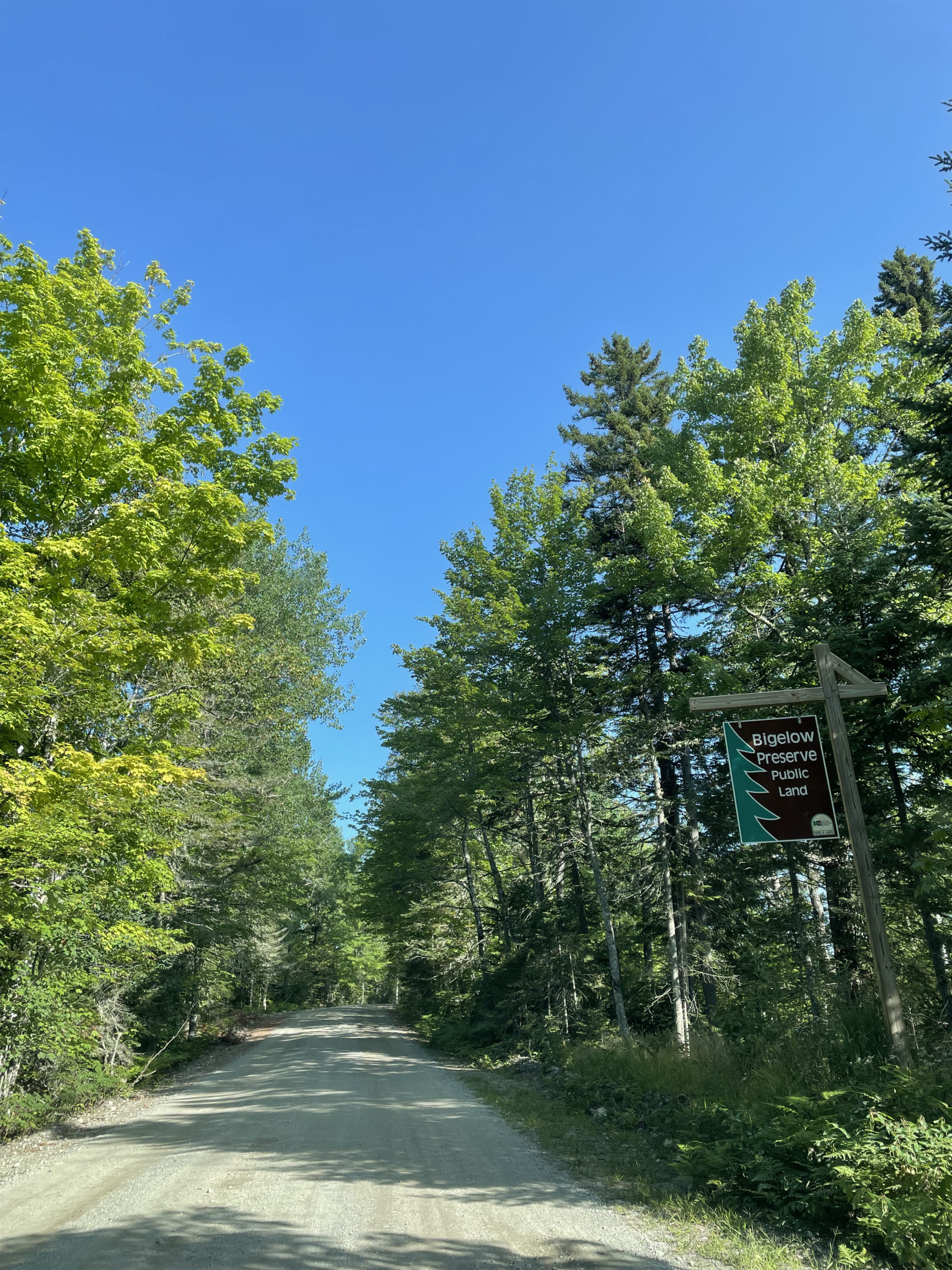
In the spring of 1976, Maine voters passed a referendum to acquire the land earmarked for the project, which led to the Bigelow Preserve Act. The ski area proposal was canceled, and the Bigelow Preserve was created. Now it is a place enjoyed by many for adventure and outdoor recreation. The Appalachian Trail also passes through the preserve.
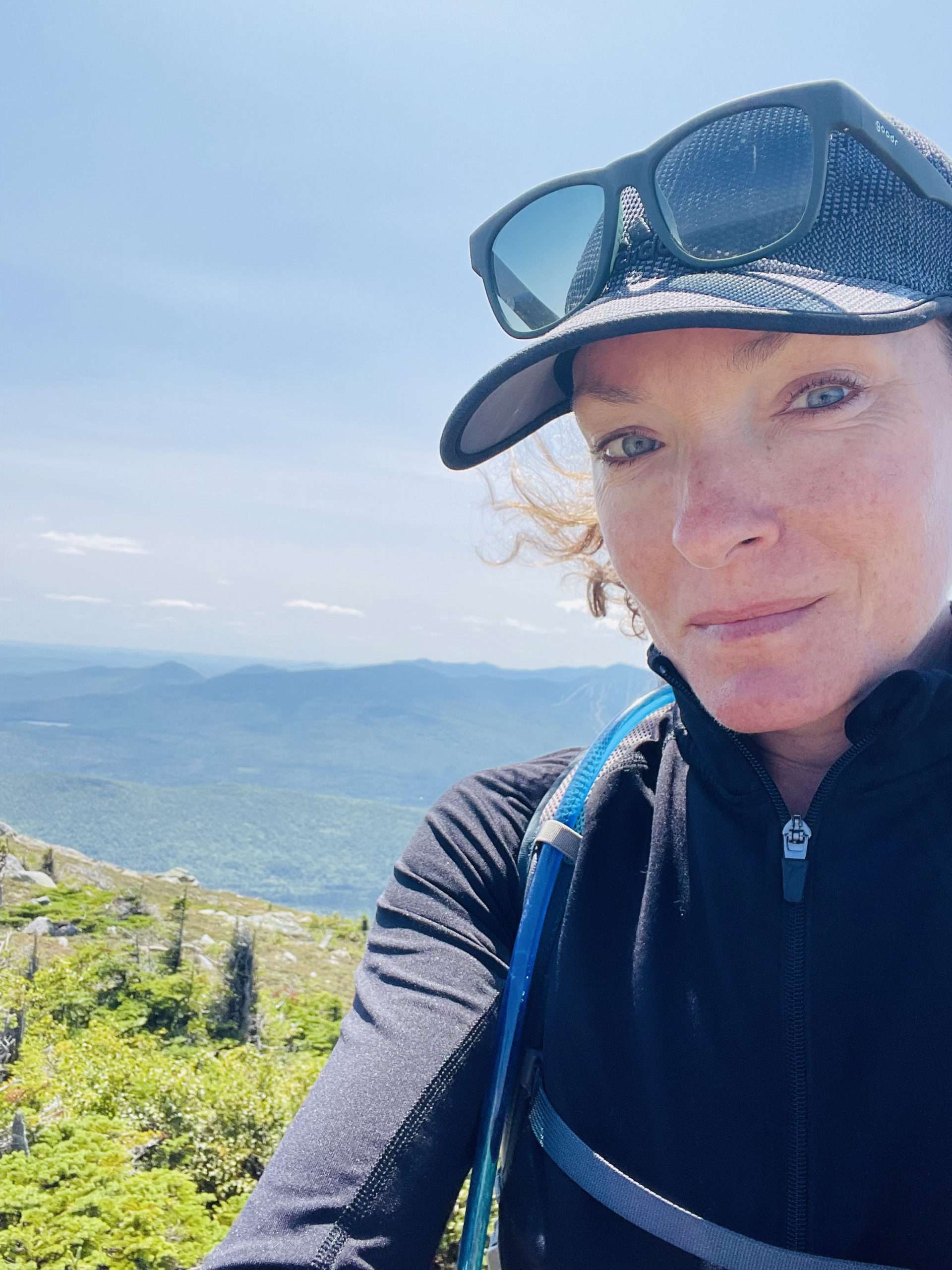
I went to Bigelow Mountain to hike the two 4000 footers located there. West Peak and Avery Peak can only be reached via the Appalachian Trail, which traverses the Bigelow Range for just over 16 miles. One hiking option is to start at Rt. 27 on the west side of the preserve where the AT crosses the road. At 18 miles roundtrip, it’s a big hike for an out-and-back. I opted for the alternate option, the Safford Brook approach on East Flagstaff Road.
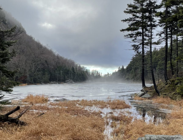
The driving route I took enters the preserve at the southeast corner and travels along the edge of Flagstaff Lake. The lake is mostly undeveloped with few boats, making it ideal for canoeing and kayaking. There is a small parking lot across from the trailhead, and when I arrived around 9am on a sunny Sunday in August, there was only one other car there. With only 91 campsites in the entire 36,000 acres of public lands, the Bigelow Preserve has a very different feel than summer in the White Mountain National Forest, where trailhead lots are full by 7am and tourists congregate around any nearby water source.
For this reason alone, I was already giving this hike high marks.
In the other car were two hikers who had spent the night at the trailhead. One was on his first 4000 foot hike and the other was almost finished with his New England 67. We chatted about our favorite trails and the most challenging peaks and which summits we had left to tackle. They headed off before me, and I found myself reflecting on how many amazing people I’ve met in the mountains. There is something about us, the ones who are happiest in the woods with only what we can carry, that creates a solid foundation of understanding at first meeting.
With that thought on my mind, I threw on my pack and headed for the trees.
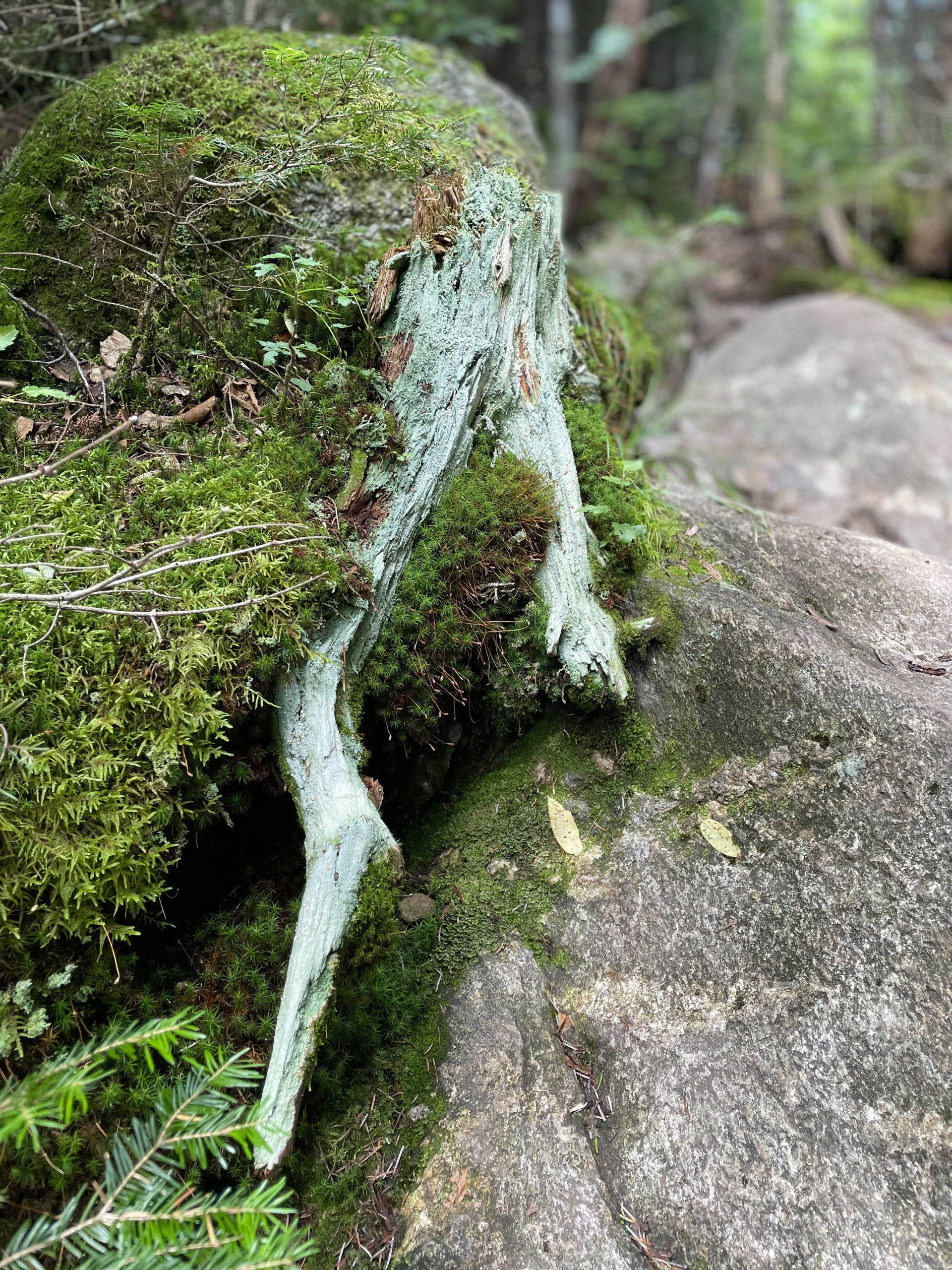
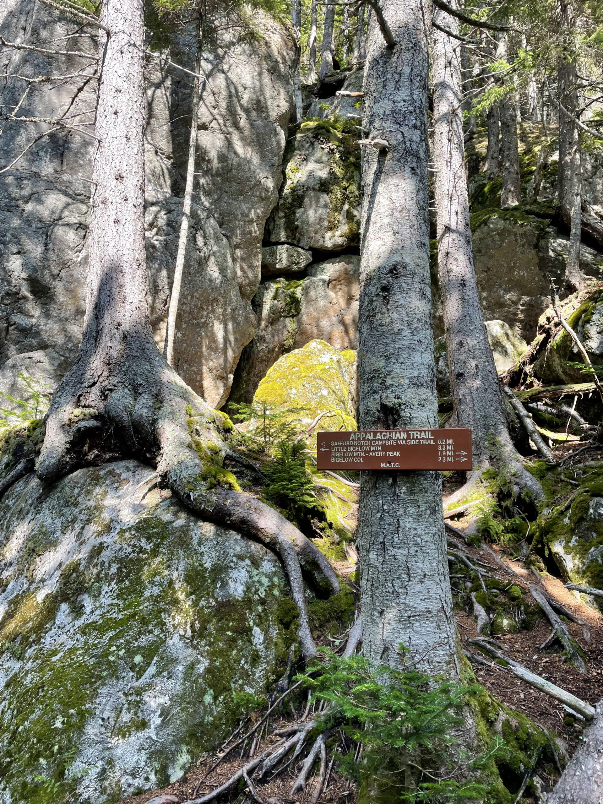
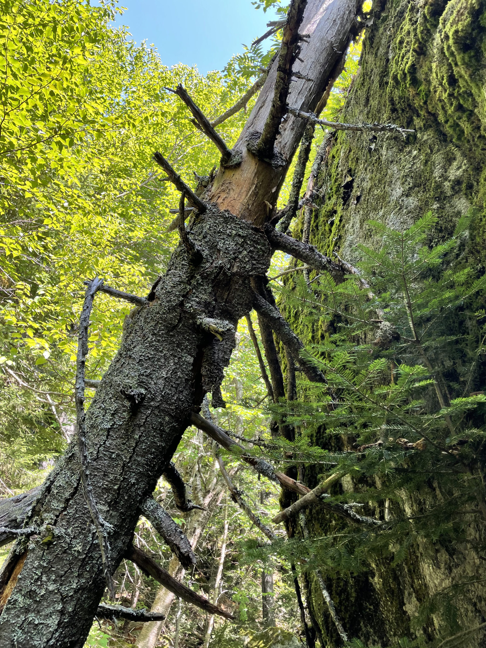
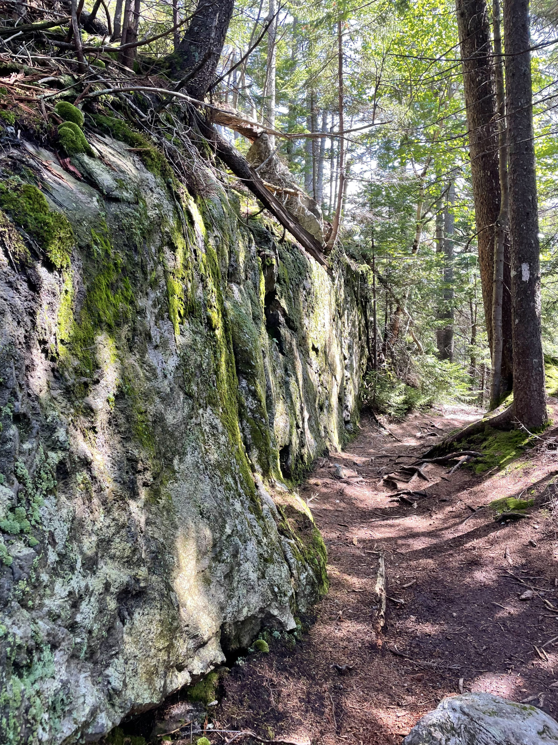
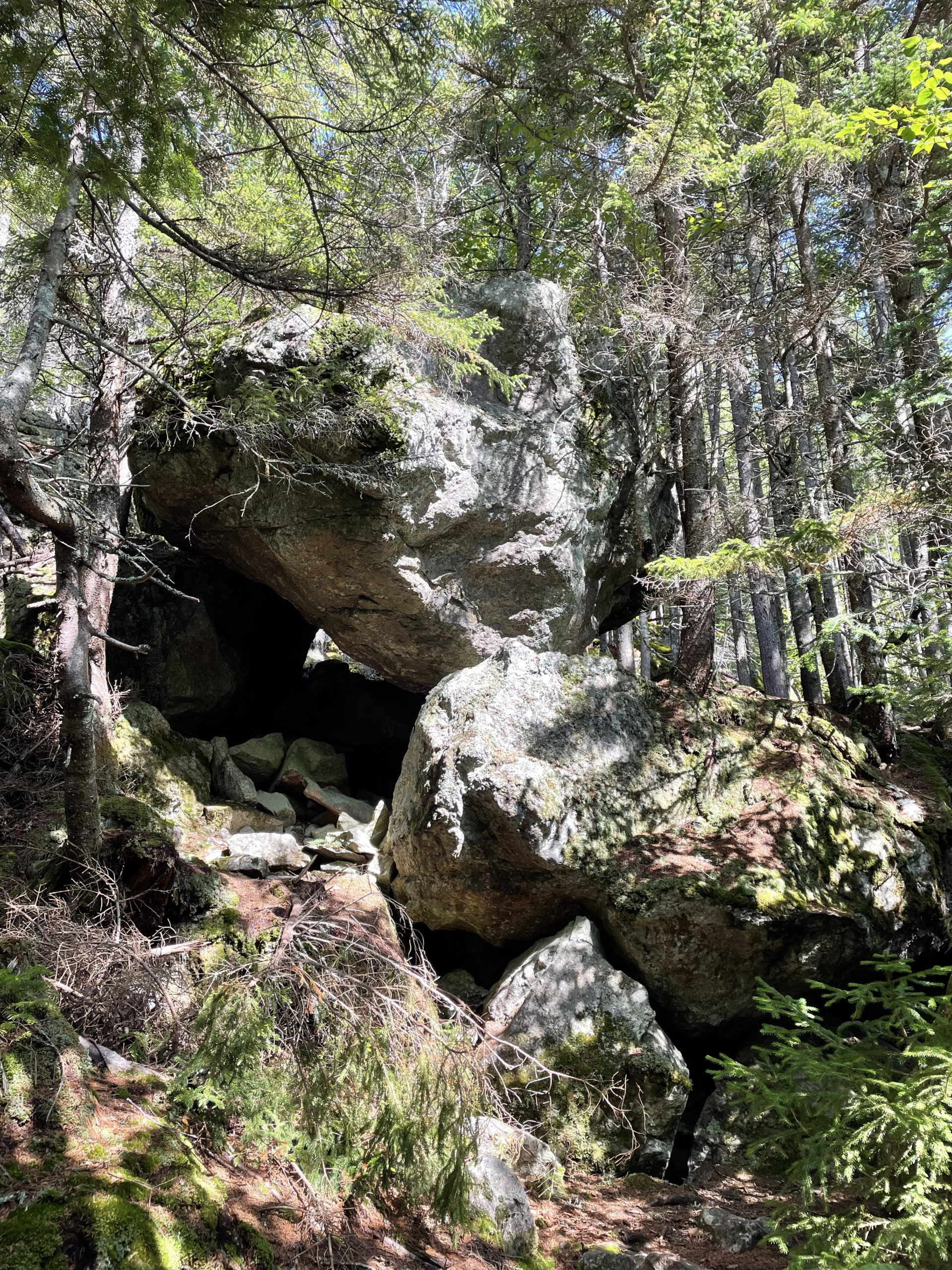
Safford Brook Trail starts off gradually, ambling through the woods before crossing Safford Brook at .7 miles and becoming very steep as it approaches the junction with the Appalachian Trail. This area is called Safford Notch and is well known for its ‘house-sized’ boulders. I’ve seen big glacial boulders in the woods before, but never this many enormous rocks in one place. The AMC Maine Mountain Guide accurately refers to the notch as ‘wild and rugged.’ Trees somehow make claims to the ground as well, contorting themselves to grow on, over, and around the boulders. There is rough footing here; it’s a combination of smaller rocks, roots, and uneven ground. At 3.2 miles, Safford Brook Trail ends, giving hikers the option of continuing on the AT northbound to Little Bigelow Mountain or southbound toward the two 4000 foot peaks.
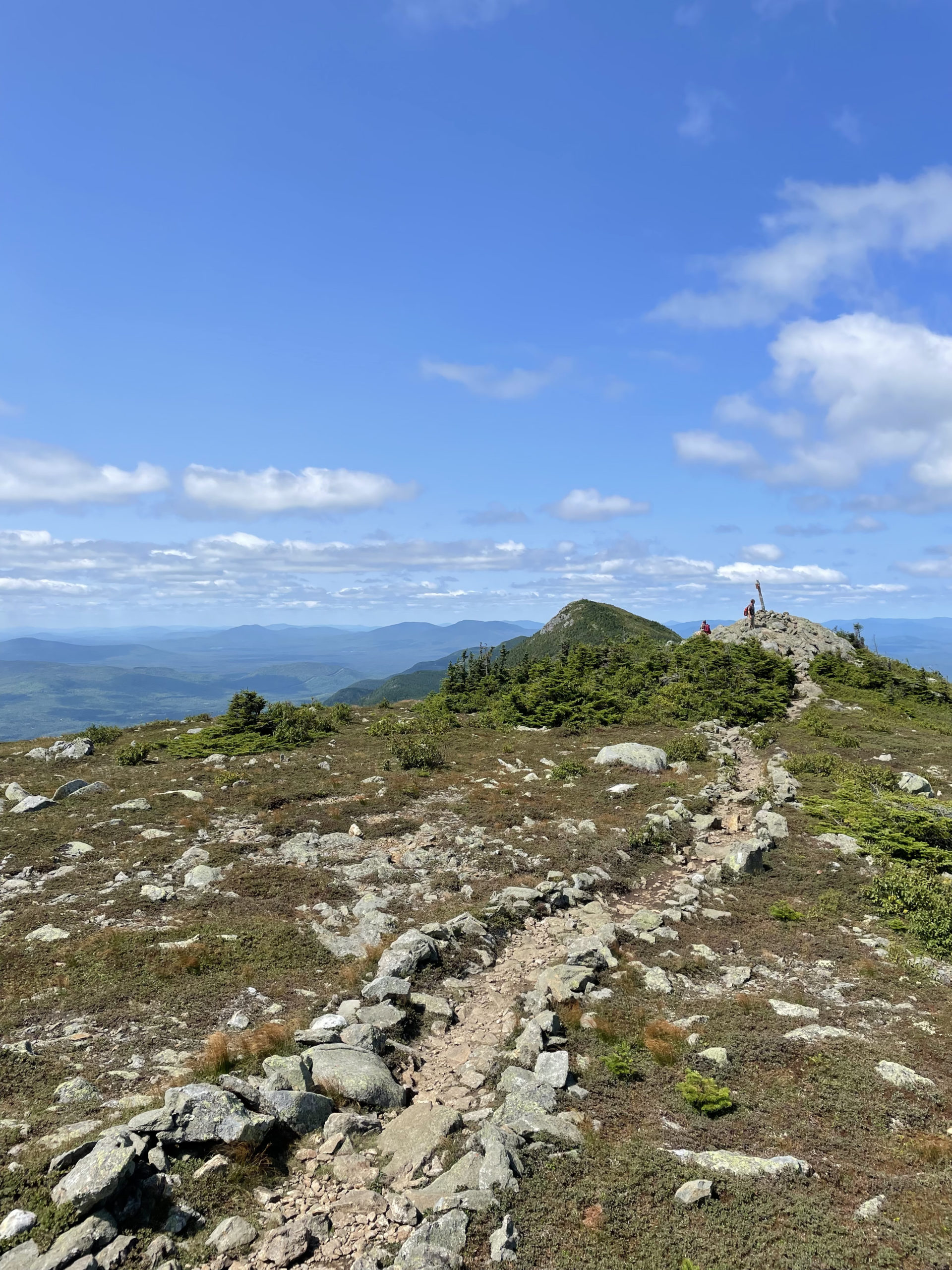
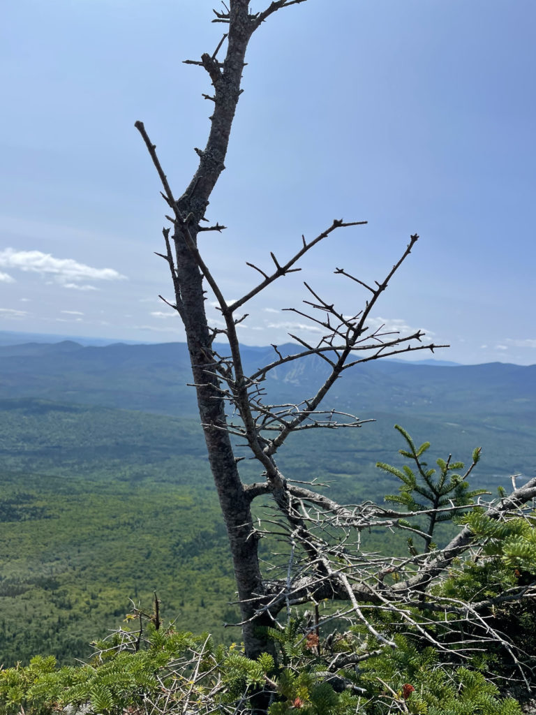
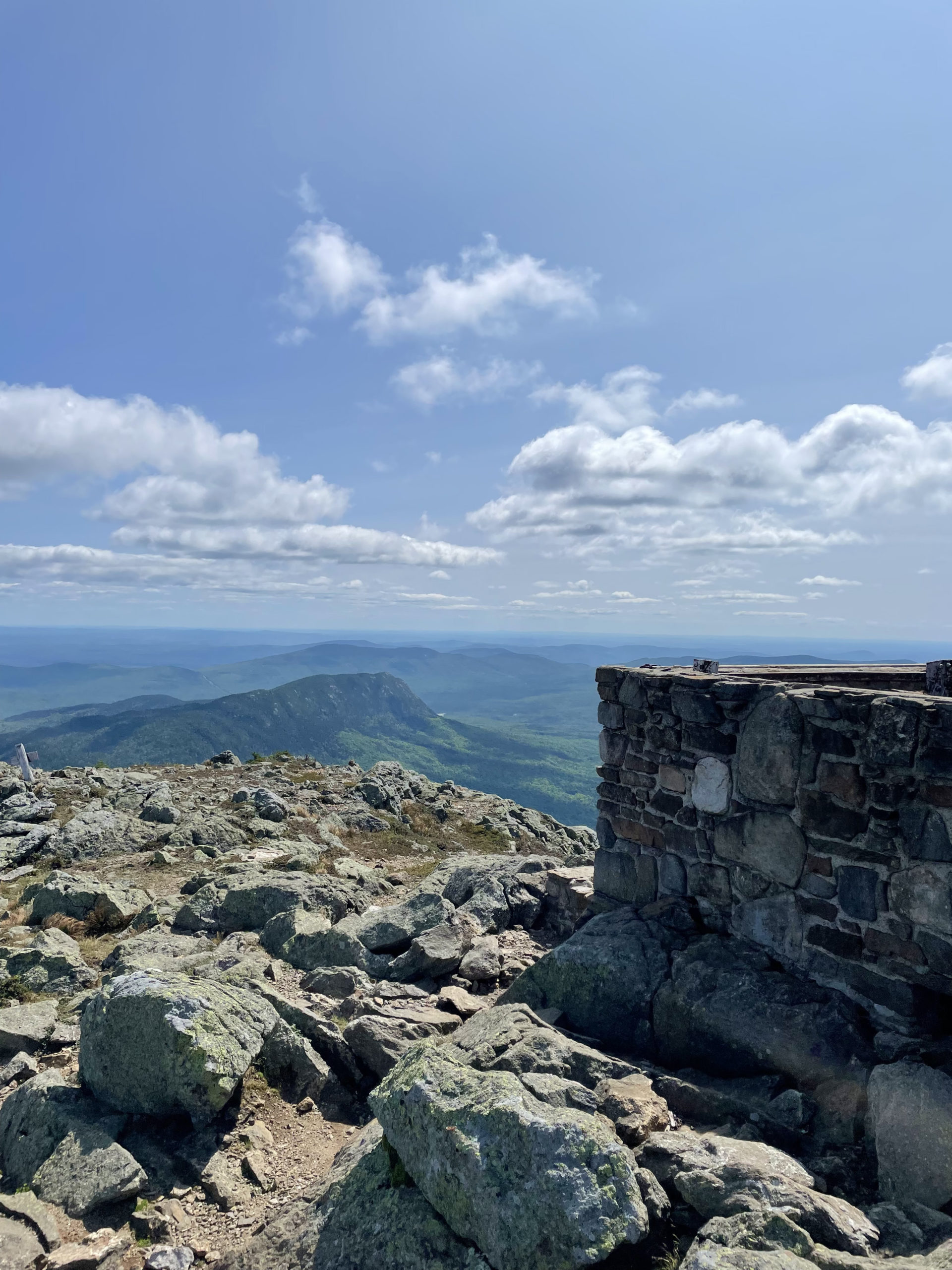
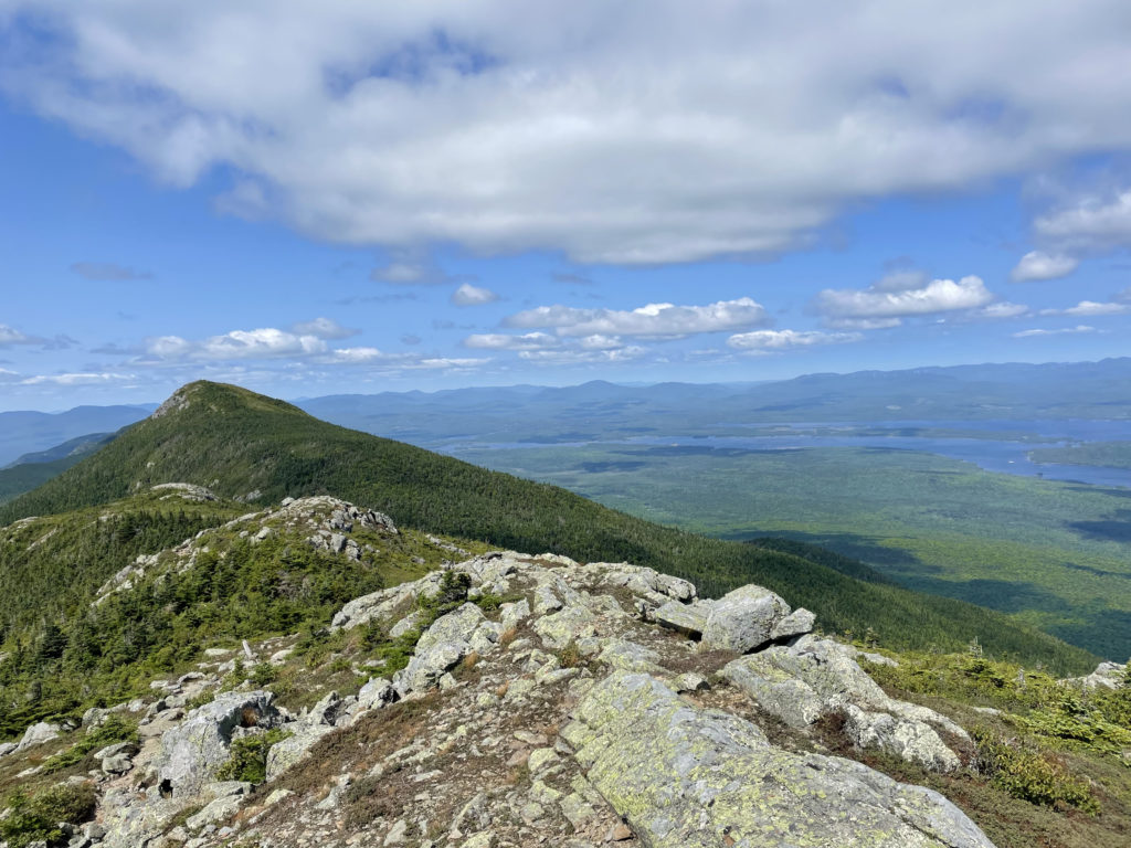
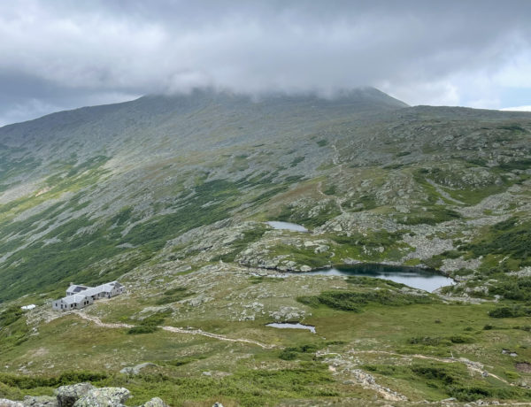
The Appalachian Trail southbound climbs via switchbacks and just-plain-steep sections before cresting the Bigelow ridge. At 3.2 miles, a side trail leads left .1 mile to the top of a huge cliff called Old Man’s Head. From this vista point, the AT climbs aggressively past the timberline into the alpine zone, reaching Avery Peak at 4.5 miles. The summit offers incredible views in every direction, including Sugarloaf Mountain to the south and Flagstaff Lake to the north. There is also the stone and concrete base of an old firetower, which could provide some shelter on a windy day (if you climb into it).
From Avery Peak, the AT continues across the col between summits. The trail descends slightly, dipping into the woods and passing the Bigelow Col Campsite before climbing back up into the alpine to reach the slightly higher West Peak. The distance between the two high points is a relatively easy .7 miles, and West Peak’s views are just as stunning.
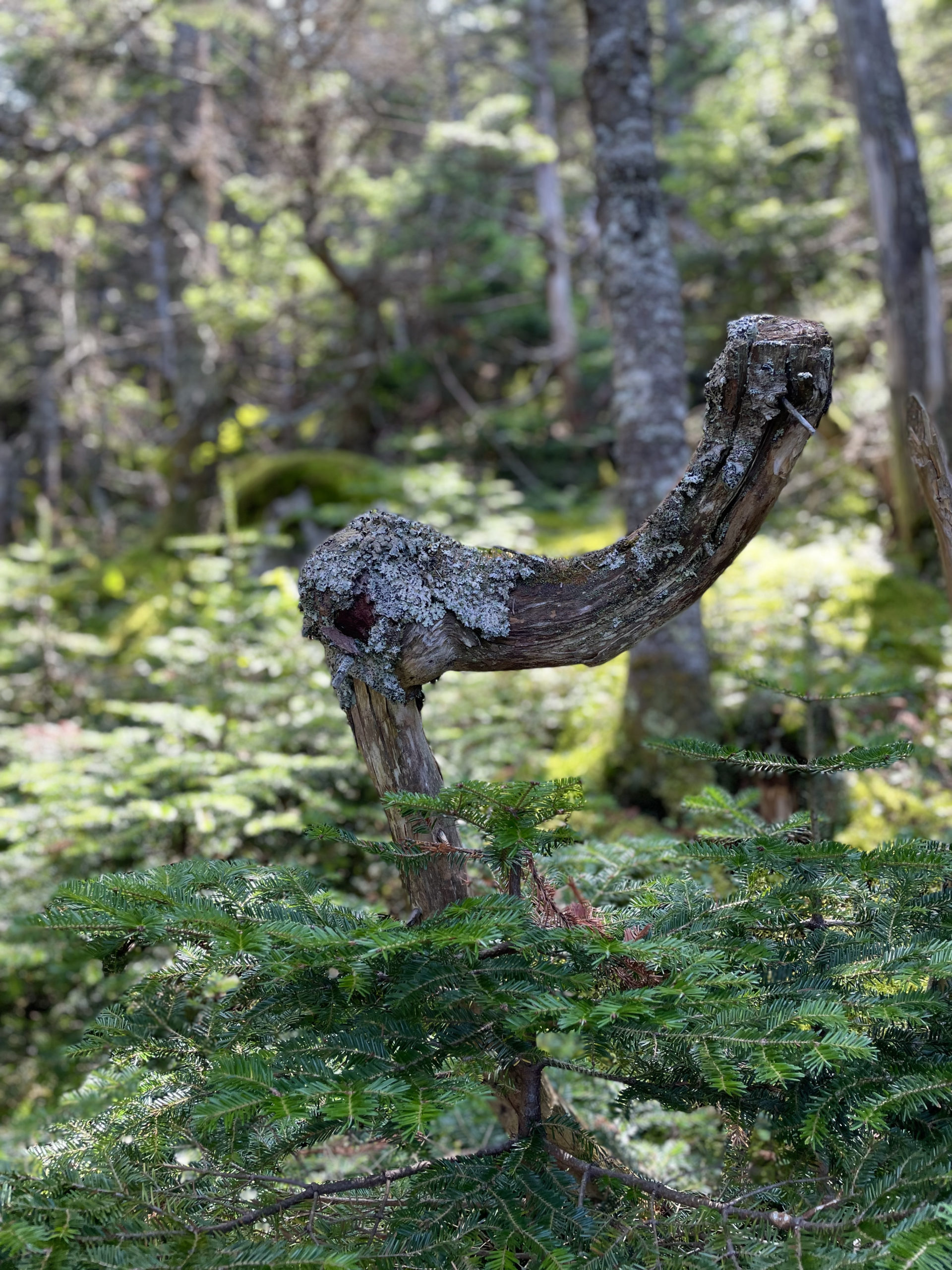
The backtrack hike went by quickly. The switchbacks help a lot on the steeper sections and there are gradual descents mixed in. Multiple scenic outlooks, the beautiful forest setting, and the truly unique ‘boulder town’ keep things interesting as you move.
Hiker term: Trail register
These sign-in boxes provide valuable information to search and rescue teams and serve as a record of backcountry use.
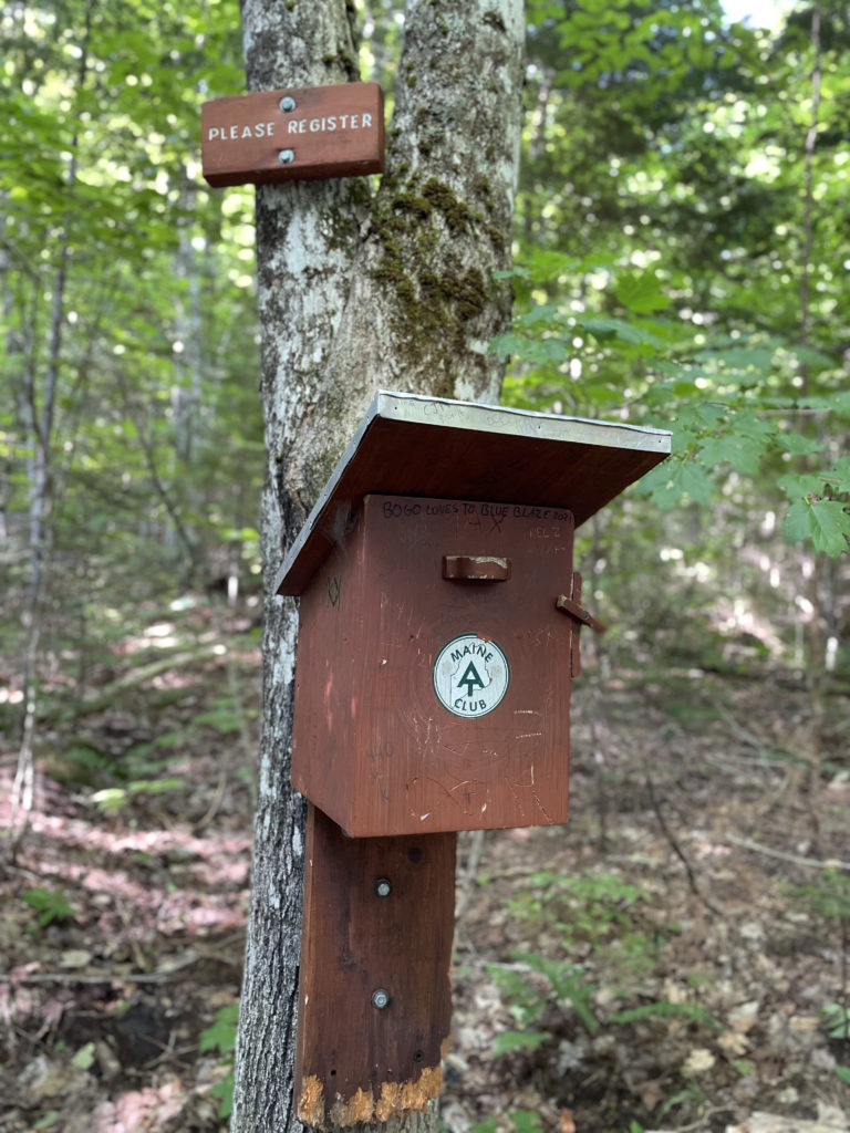
When I reached the Maine AT hiker registration box, I paused. I’d passed the two hikers from the parking lot on my way down. They were friendly as ever, and it got me thinking about the hiking community as a whole. When I started my 67 peaks, I planned to hike them all alone. I didn’t realize it at the time, but I’d intended the whole endeavor to be a solo adventure. And while I had hiked most of the 54 mountains I’d tackled so far alone, I had also started to build a community of like-minded, supportive, bad-ass outdoor enthusiasts. I’d hiked with friends, strangers, and strangers who became friends. I made those connections without knowing I needed them, and I was grateful for them. I still love hiking alone, but having a community to engage with has become incredibly important to me.
I took a registration card out of the box and wrote my Instagram handle on the back. When I reached the parking lot, I put it on the windshield of the two hikers’ car. Within hours, we were following each other.
Another connection made, another friendship created, another kindred spirit found.
Summit lesson: Find the thing that brings you joy and the place that brings you peace. That’s where you’ll find your people.
Safford Brook Trail to Appalachian Trail
| Total elevation: 4049 ft & 4026 ft | Elevation gain: 3435 ft |
| Mileage: 9 miles | Alpine exposure: significant |
| Terrain: woods, rough footing, rocks | Challenges: steep sections, exposed ridge |
| View payoff: outstanding | Dogs: yes |
Recap: Bigelow Mountain is a long ridge mountain consisting of five summits. West Peak and Avery Peak are both 4000 footers and are accessed via the Appalachian Trail. This hike is strenuous but incredibly rewarding. Safford Notch features some of the biggest boulders you’ll ever see in New England, and the views from both summits are outstanding. Bigelow Preserve is quiet and peaceful, nothing like the summer hubbub in the White Mountains. This hike is a long drive on back roads from almost anywhere you’re leaving from, so it’s worth spending a night and tackling one (or more) of the other amazing peaks in the Rangeley-Stratton mountain range. Sugarloaf Mountain, Crocker Mountain, Mt. Redington, Mt. Abraham, and Saddleback Mountain are all within thirty minutes of the preserve and there are plenty of affordable lodging options. The Western Maine mountains are often overlooked for the Whites, but they absolutely hold their own in comparison.
No Comments