Sugarloaf Ski Resort & Appalachian Trail
Sugarloaf Mtn. 4250 ft | Spaulding Mtn. 4010 ft
The idea of hiking Sugarloaf Mountain was causing me some anxiety. In my mind, it wasn’t a normal hike. As far as I could tell when I started planning, the only way to reach the peak is via the Appalachian Trail Southbound, with a quick out-and-back jaunt along the Sugarloaf Side Trail. The alternative is to hike up the ski trails at Sugarloaf Mountain Resort. For some reason, this option felt overwhelming to me. I realized (after some introspection) that my stress was mostly about the unusual parking and ascent. I’m used to parking at trailheads or on the side of a road and heading into the woods. Sugarloaf’s big, official parking lot and ascending a closed ski trail seemed foreign and fraught with possible complications. Like, I might have to ask permission and someone might say no. Ugh. I could have driven to the closest AT trailhead, but that would have added at least an hour total to my drive from Portland. No bueno.
In my experience, the best way to overcome this kind of situational anxiety is to just do the damn thing. I loaded Luna into the car and off we went to tackle the Sugarloaf parking lot and the ski slopes.
First, it’s worth noting that Sugarloaf is not nearby. Sometimes people say, ‘It’s so great you live in Maine, the skiing is so close.’ It’s not. I mean, it’s relative, but the closest legitimate ski slopes are about an hour from Portland, and the closest big slopes are two hours plus. It took a solid two and a half hours to reach the resort. Luckily, the much-dreaded parking was a non-issue. The mountain was closed (despite still having snow on the slopes) and the friendly woman in the admin building basically told me to park anywhere and then pointed me in the direction of the access road to the top. Permission granted. Phew.
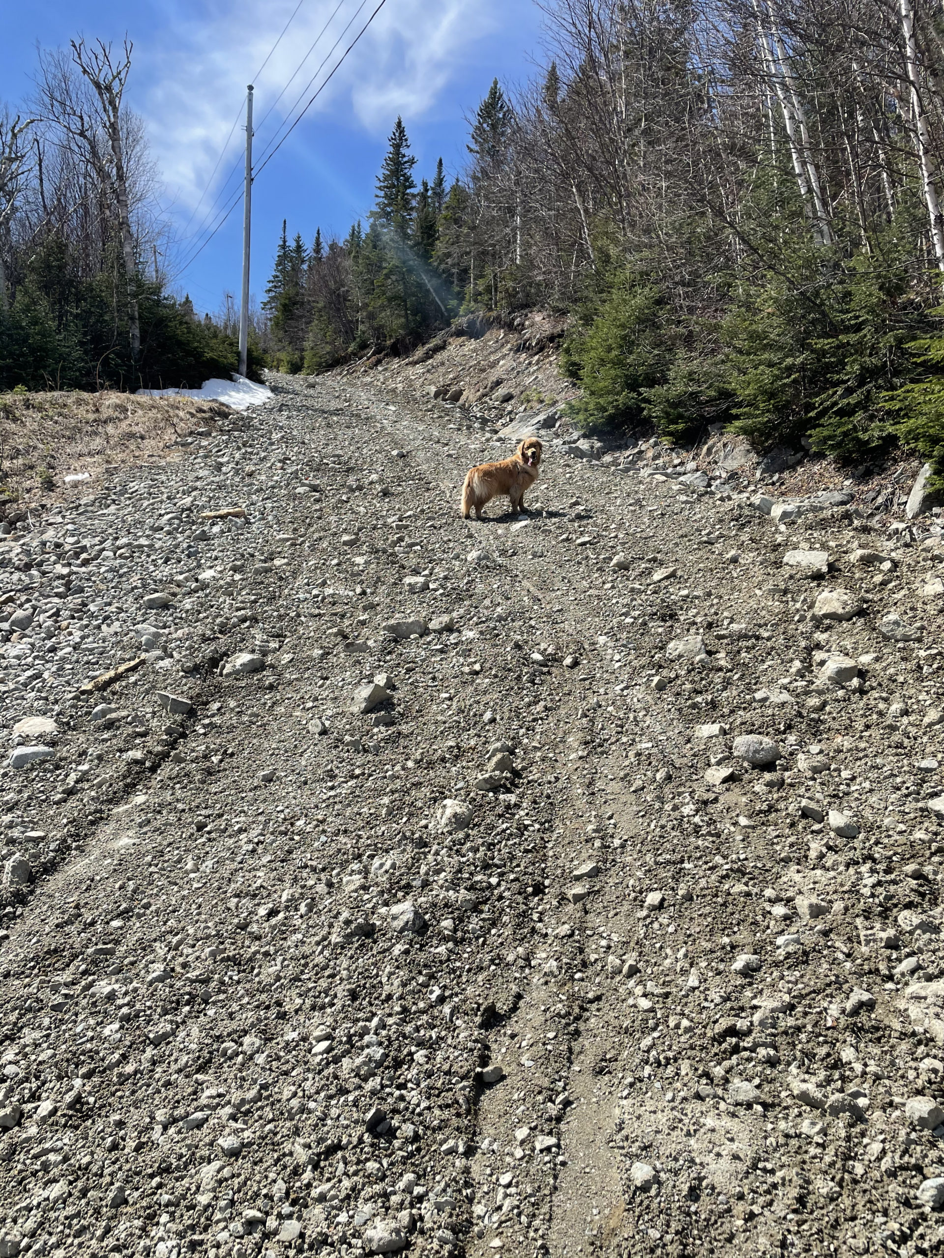
From the parking lot, Luna and I headed to the right of the mountain to reach the Machinery Access Road (aka the first section of trail). This is a loose gravel and small rock road leading up the side of the mountain. The footing sucked, but the route was direct. We passed Bullwinkle’s restaurant (closed, unfortunately) and the access road technically ended around there. It was easy enough to keeping head up the ski trails. Several commenters on AllTrails complained about not being able to find the trail up the ski mountain. I’m not sure why. There are plenty of them, and they all go to the same place… the top.
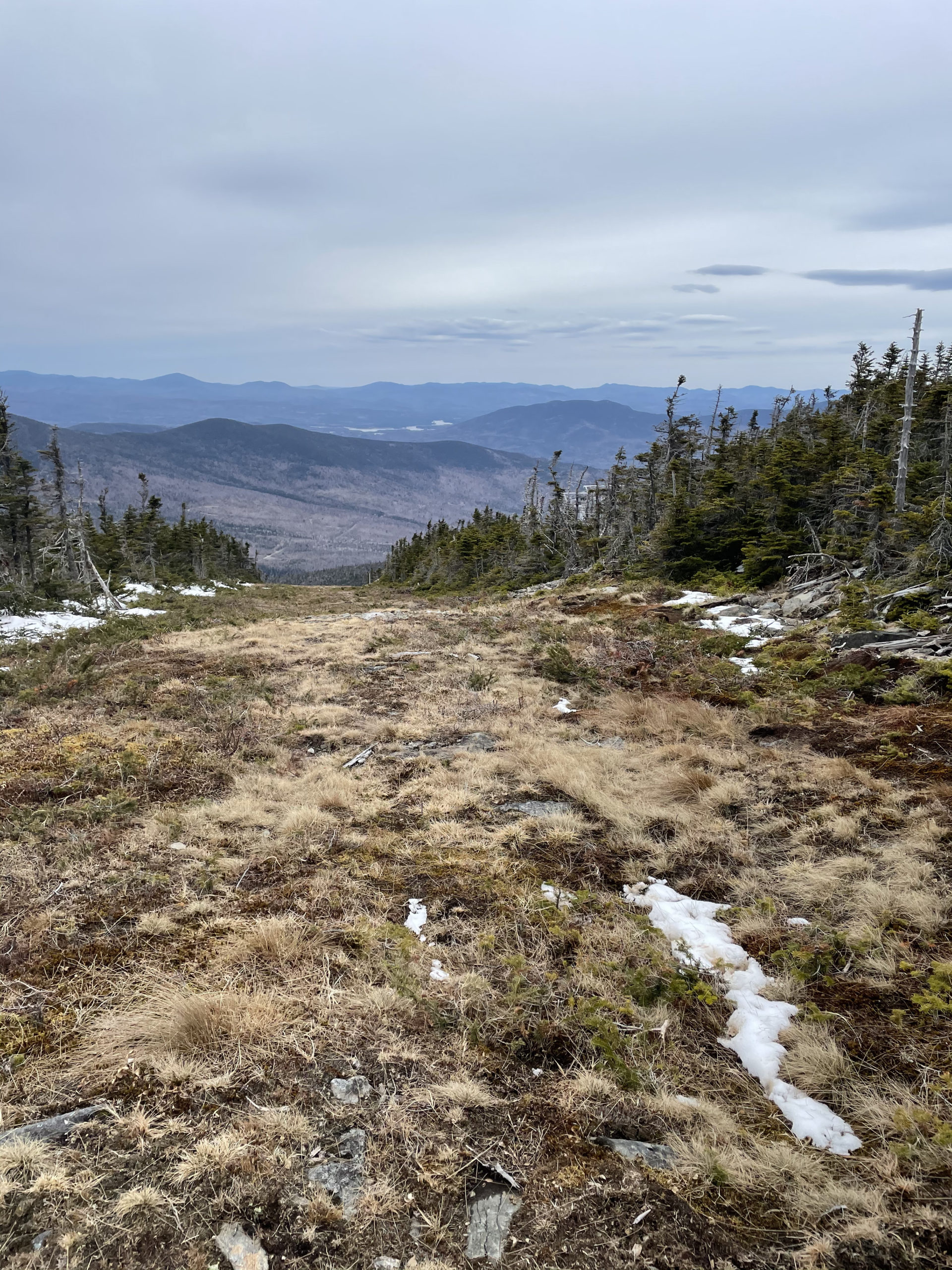

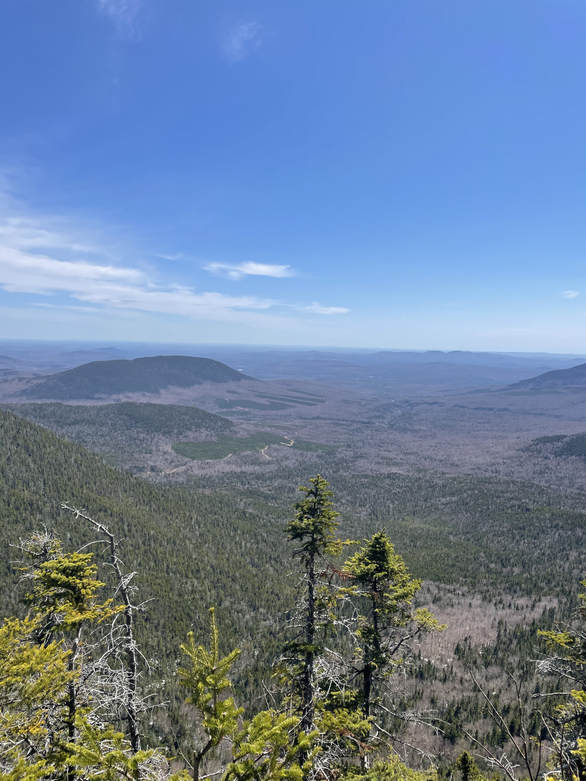
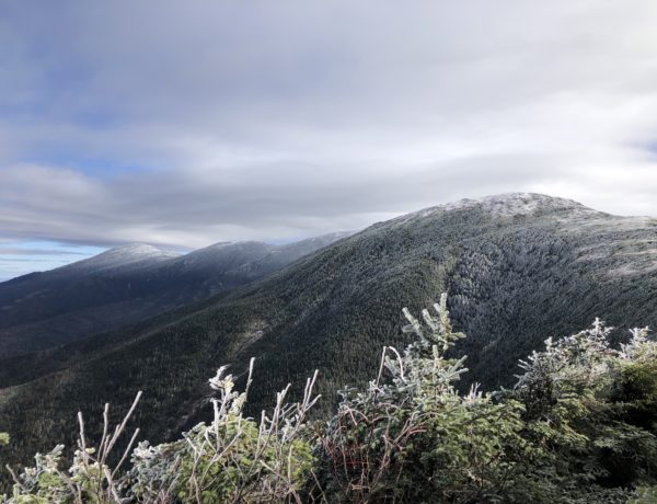
We reached the summit and Timberline Chairlift terminus, and the views were spectacular. Sugarloaf Mountain is the second highest in the Maine (after Katahdin) and multiple peaks can be seen from this symmetrical, bare summit.
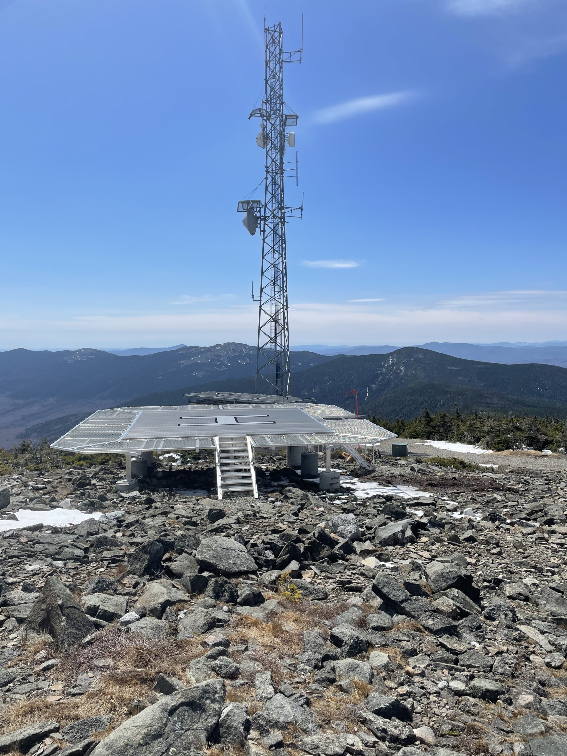
I was baffled by the large, decrepit building at the top of the mountain. At first I thought it was an old summit lodge, but research informed me it is the house for the once-famous Sugarloaf gondola. “The Mighty Gondola” opened in 1965, carrying four-person cars to the summit. In 1987, a counterweight cable snapped, injuring two people. The gondola was permanently closed and dismantled in 1997. I found myself wondering why the building hasn’t been converted into a summit lodge or pub. With the views and the apres-ski movement in full force, it seems like a potential revenue generator.
I didn’t have time to ponder the future of the gondola house for long, though. I was too busy trying to find the trail onward to Spaulding Mountain.
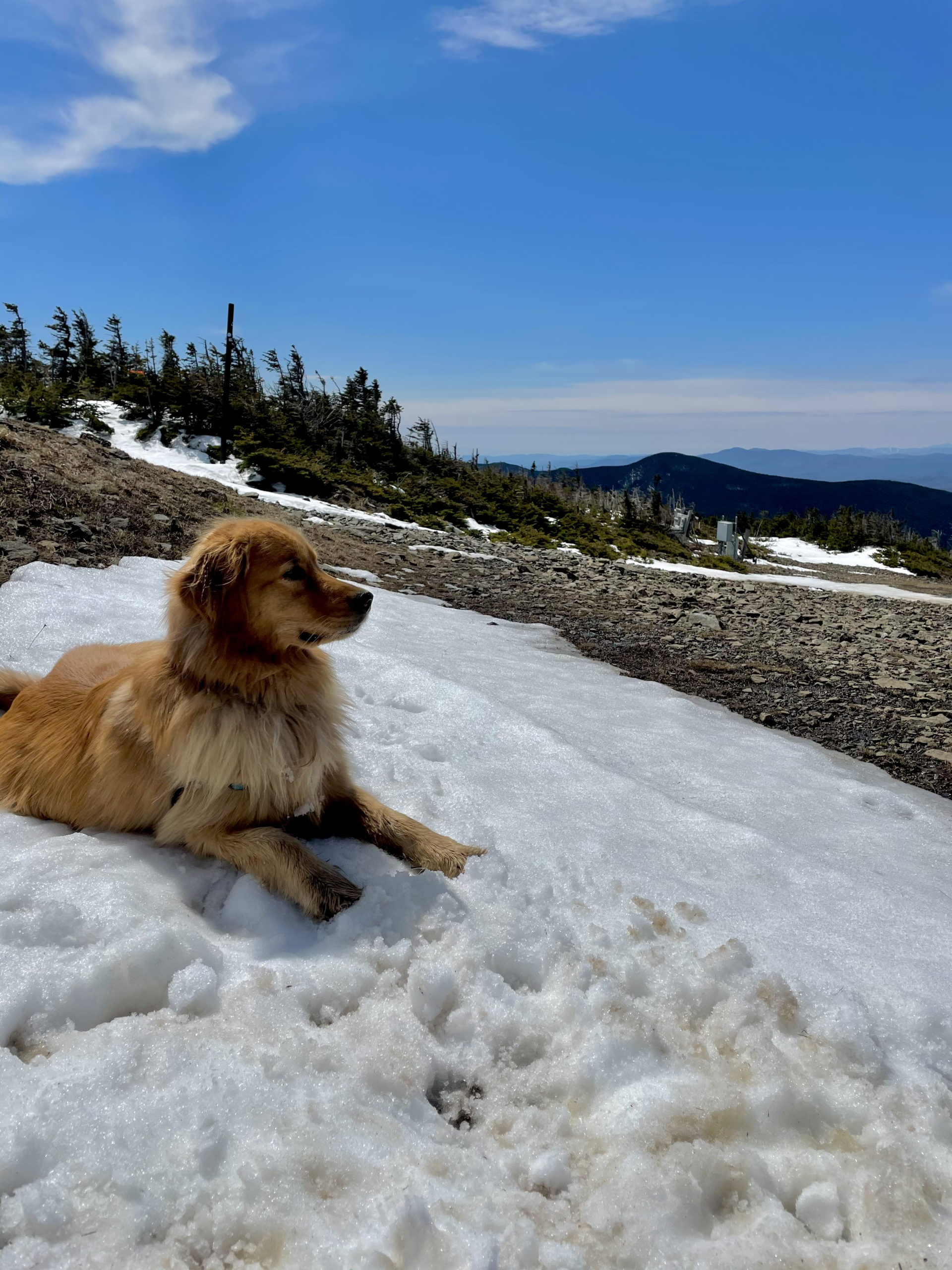
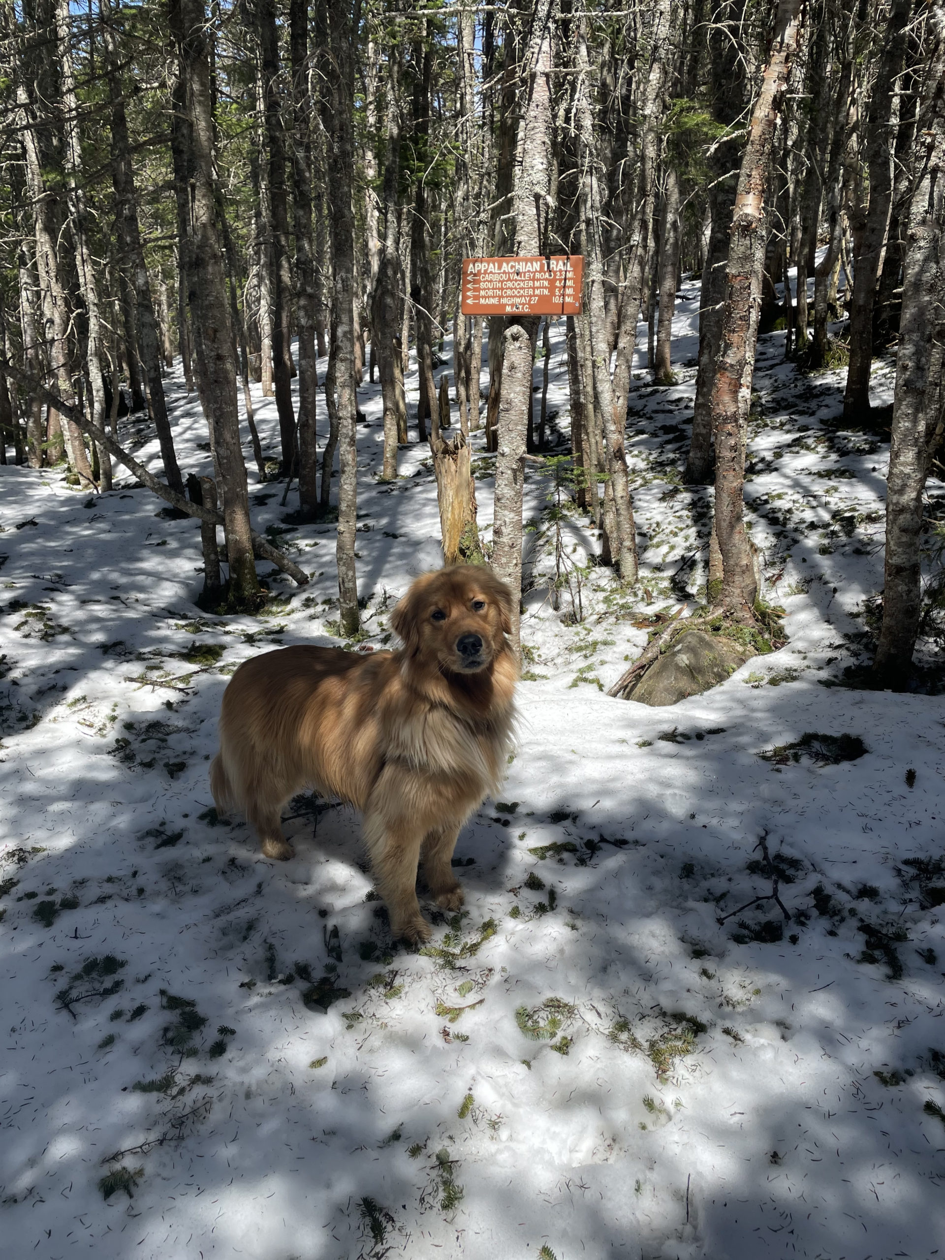
Luna cooled off in a patch of snow while I stomped around in the mud looking for any sign of a trail. I found a helicopter landing pad and a big radio tower and some yellow blazes on the ground that seemed to lead nowhere. It didn’t help that no one had been on the trail, so there weren’t any tell-tale footprints in the snow. After a lot of wandering and swearing and consulting AllTrails, I found a narrow trail opening in the brush on the southwest side of the summit.
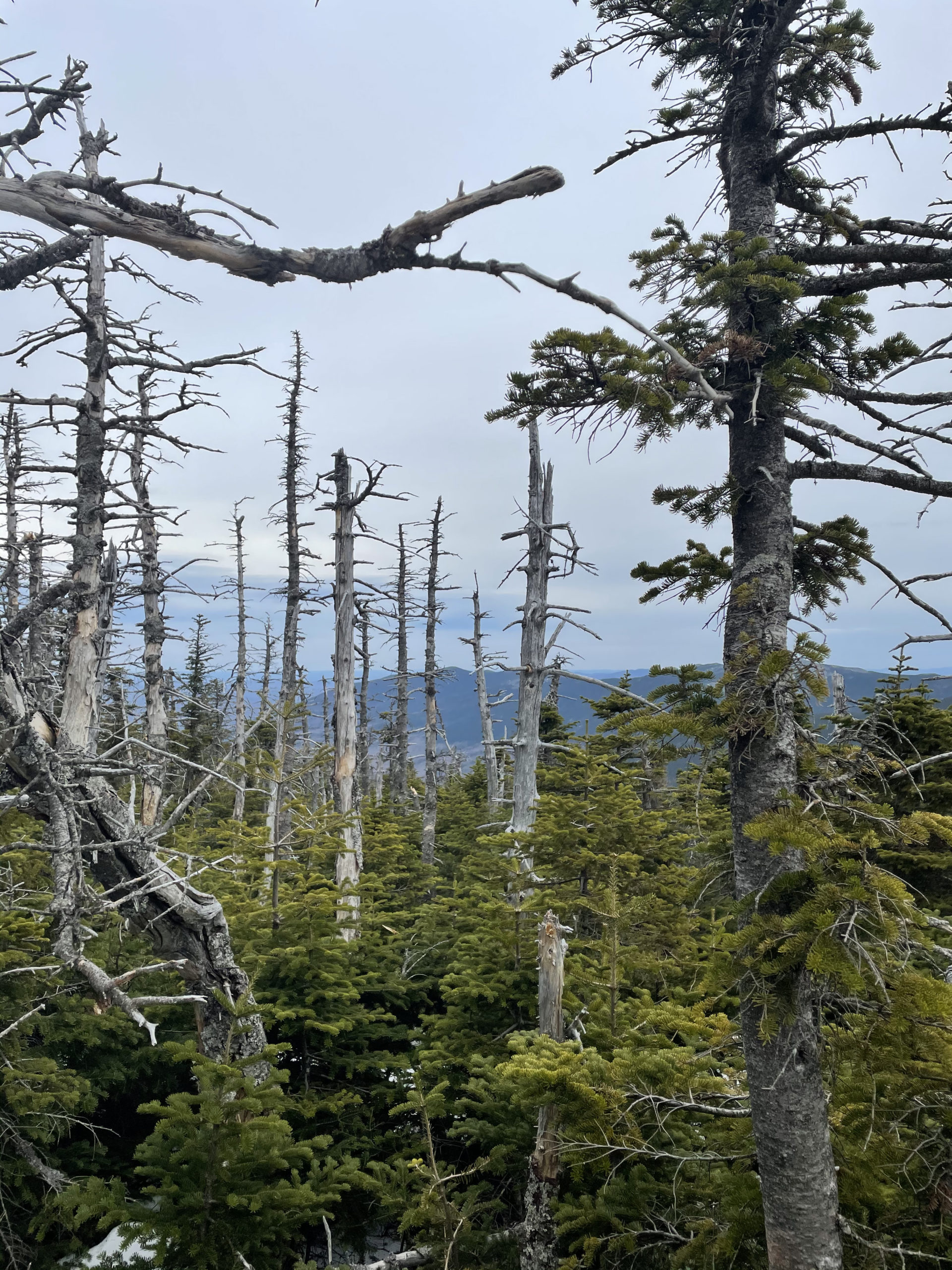
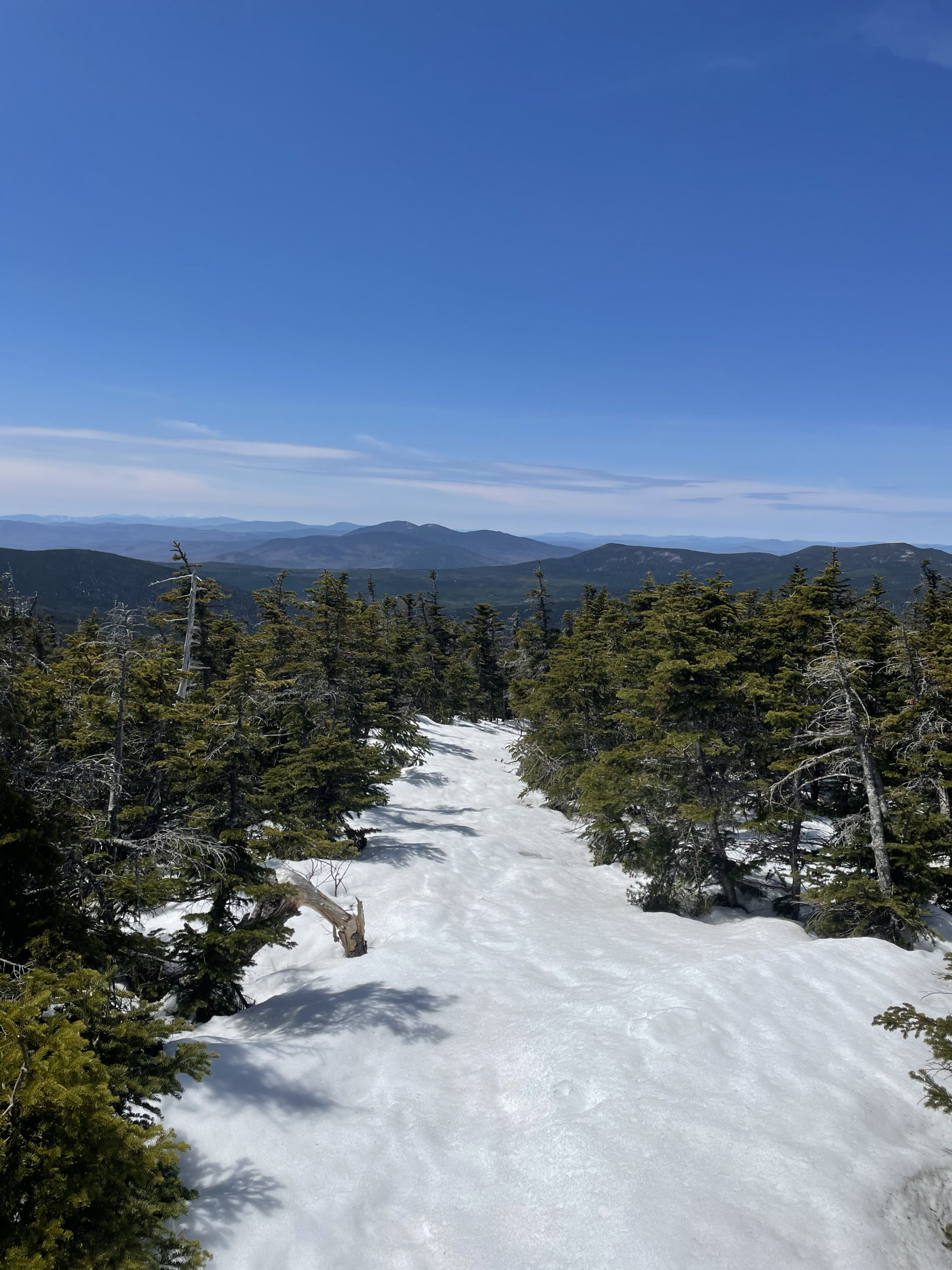
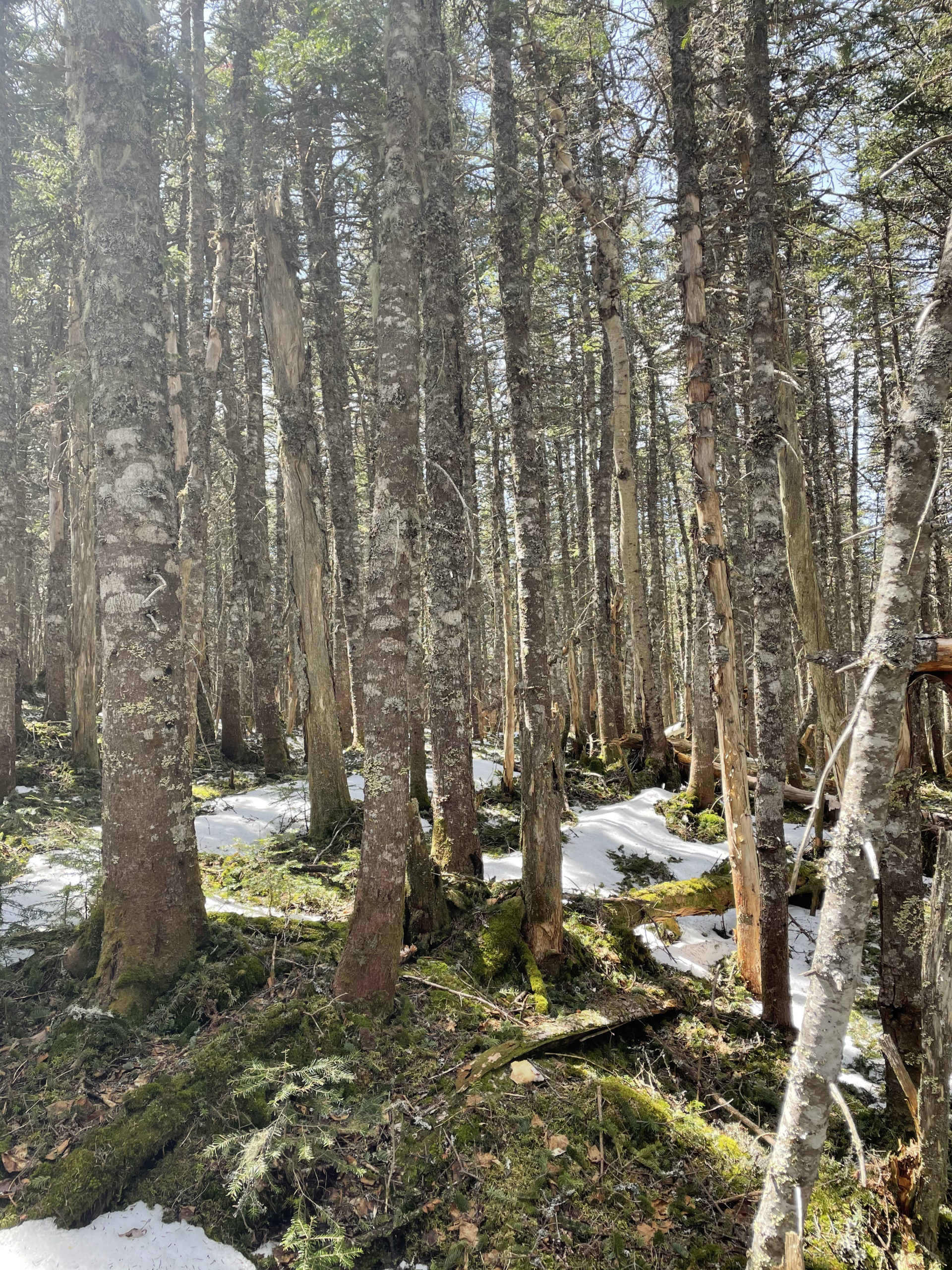
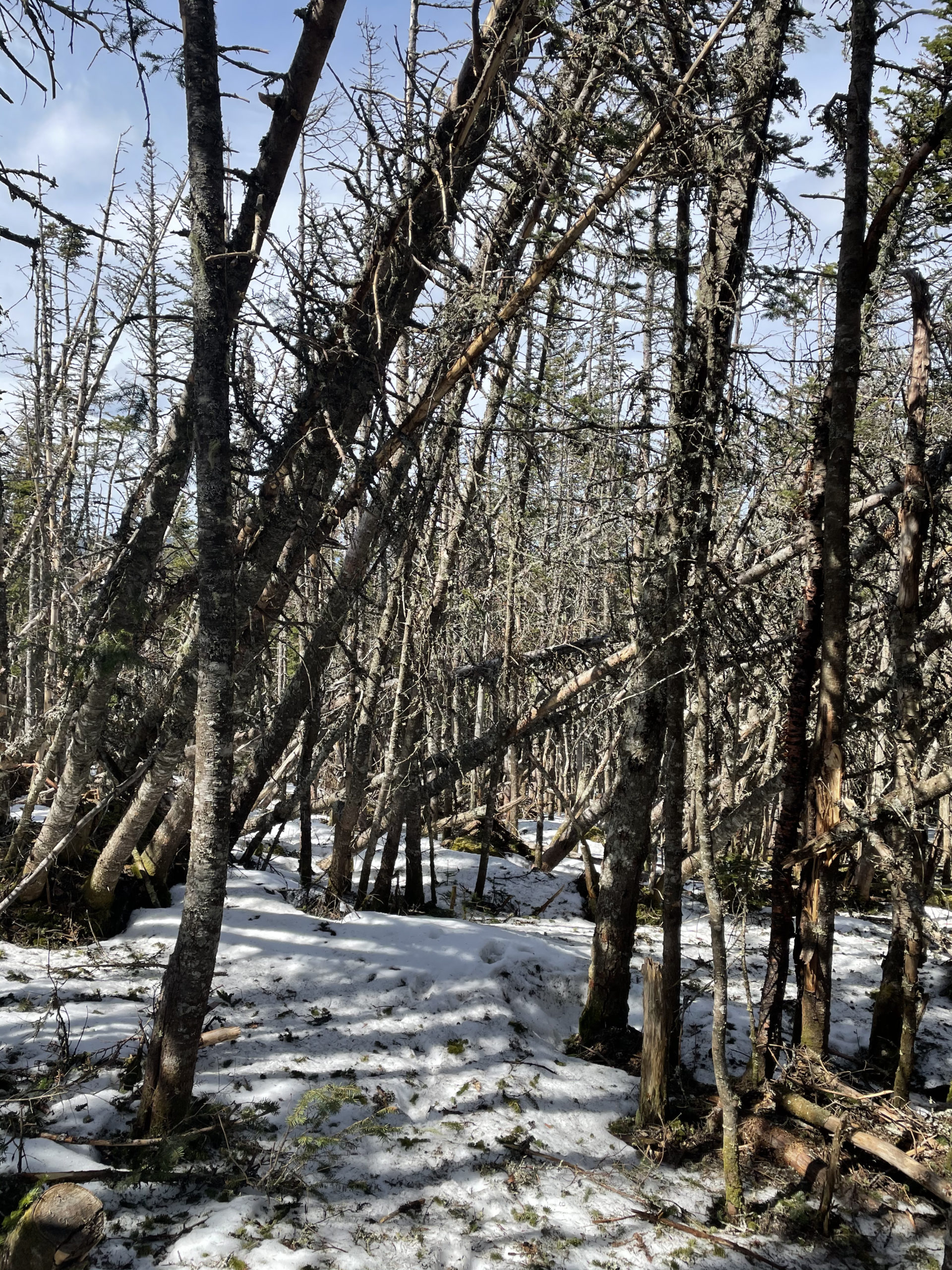
Once located, we descended the Sugarloaf Side Trail a half mile on a snowy monorail, until it intersected the Appalachian Trail. The AT continues southbound across the ridge between Sugarloaf and Spaulding. It is a rugged trail and was often very difficult to navigate. This stretch of the AT isn’t particularly well-maintained (as compared to some of the other stretches I’ve been on). There is a lot of overgrowth, and more than once I found myself standing in a dense forest where everything around me looked the same and I had absolutely no clue where the trail went. My mind kept wandering to my newly acquired shelter-building knowledge, hoping I wouldn’t be putting those skills to use.
I used the compass feature on AllTrails to find my way. If you’re unfamiliar with this tool, it’s worth checking out. When you use an AllTrails map, you (the hiker) are represented by a blue dot. That dot has a little arrow on it, which tells you which direction you’re heading in. By turning my phone and watching the arrow, I was able to point myself back toward the redlined trail on the map. Very handy.
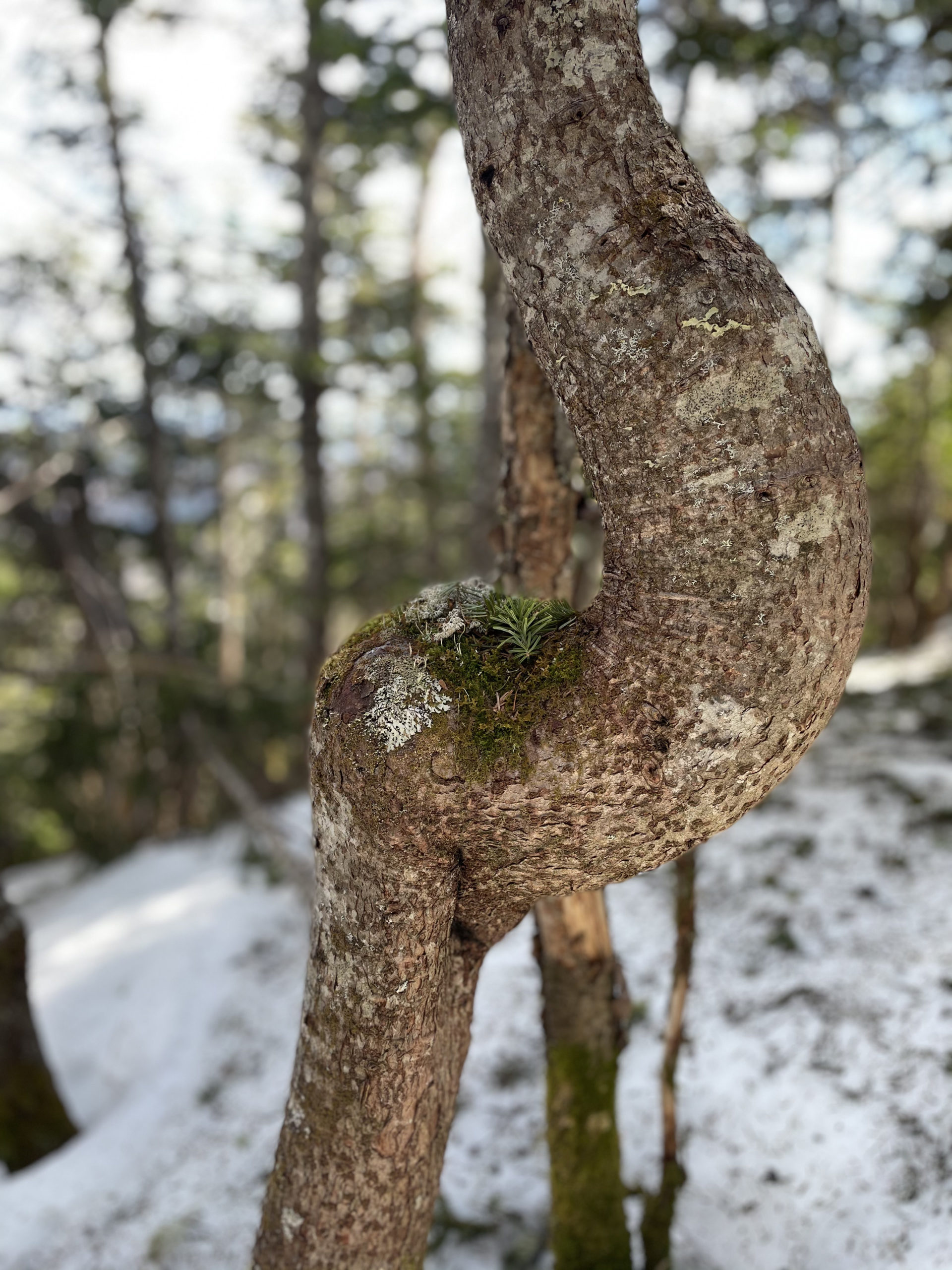
Can’t find a blaze anywhere nearby?
Try turning around. You may find a mark on a tree behind you, heading in the opposite direction.
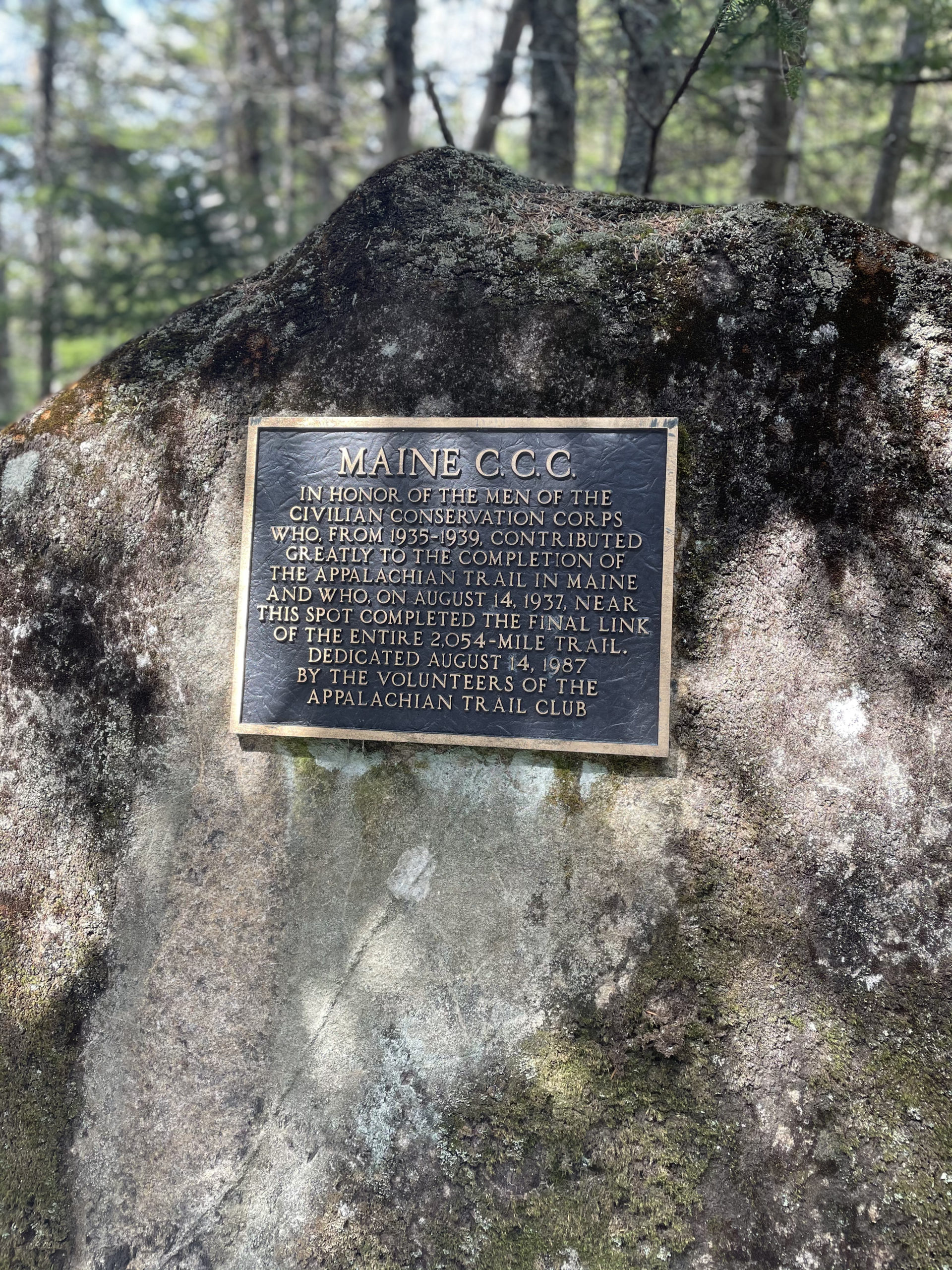
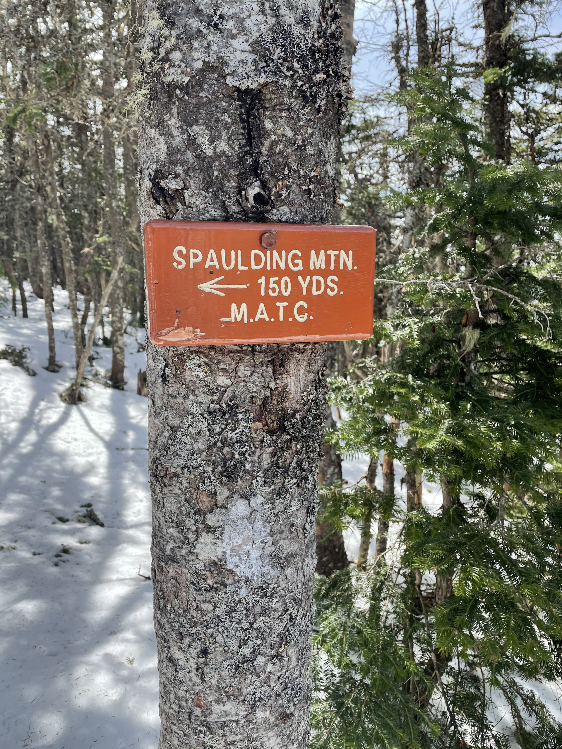
We passed a bronze plaque installed on a large rock honoring the members of the Maine Civilian Conservation Corps, who completed the AT around this area in 1937. After that, there is a very steep descent into a notch in the ridge, followed by the ascent to Spaulding Mtn. The climb is aggressive at first as you come back up the notch, but it becomes more gradual. A short side trail leads to the wooded summit of Spaulding. There are limited views, but according to the AMC Maine Mountain Guide, a narrow cleared trail leads 200 feet north to an outlook.
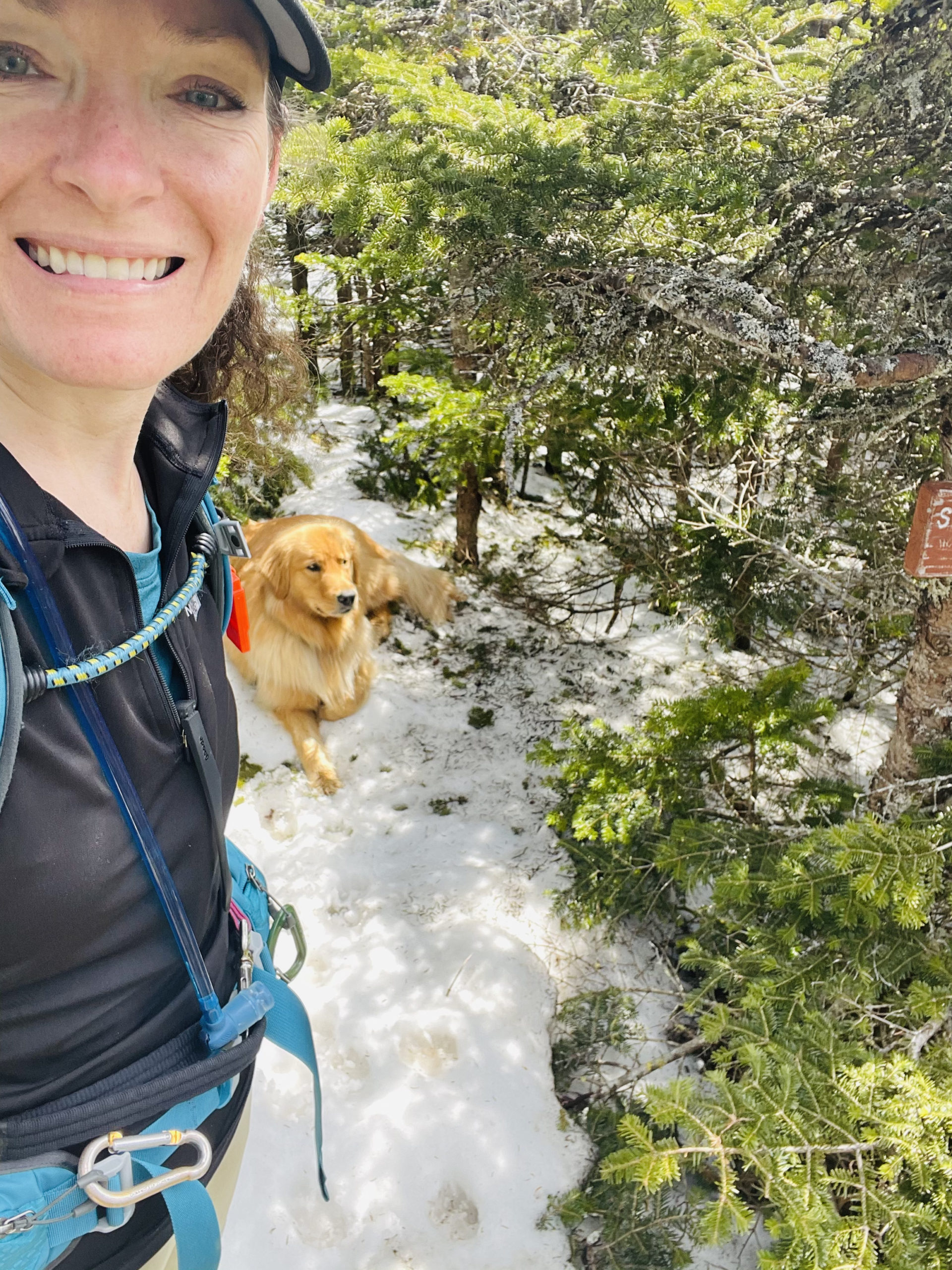
We paused here for Luna to take a summit snooze and for me to consult my map. I was hoping for a faster way back, but no such luck. We hoofed the AT in reverse, back toward the Sugarloaf summit. At least this time we had our footprints in the snow to follow and Luna was keen to our scent. Several times when I was disoriented, she knew where to go by using her nose.
When we reached the top of Sugarloaf again, we started down one of the boundary trails. The brush had been recently cut back and I started worrying about Luna’s paws (there were sharp branches everywhere). I was also exhausted and it was getting late. I wanted to reach the base of the mountain as quickly as possible, and the most direct route was down the middle of the mountain, via a steep ski trail that still had snow covering it.
Luna loved this route. We half ran, half slid, half boot-skied our way down in about fifteen minutes. Even with this speedy descent, we didn’t reach the car until 5:00, and I was definitely wishing I’d planned to spend the night in the area. I think four hours of driving in a day (two out, two back) is my limit when combined with a 10+/- mile hike. When I’m back in this area to tackle the nearby 4000’ peaks, I’ll be making it a multi-day trip.
Summit lesson: Hiking tests many emotional limits. Anxiety (about parking), frustration (while searching for the trail), and fear (of getting lost) all showed up for me on this adventure. The more I am forced to work through these limits, the less inhibiting they become.
Sugarloaf & Spaulding Mtns: Ski slopes to Appalachian Trail
| Total elevation: 4,250 ft & 4,010 ft | Elevation gain: 2,084 ft |
| Mileage: 9.3 miles | Alpine exposure: extreme at Sugarloaf |
| Terrain: steep sections, loose gravel, wooded trail | Challenges: difficult to navigate, scrambles, ledges |
| View payoff: amazing at Sugarloaf, limited at Spaulding | Dogs: yes |
Recap: Hiking up Sugarloaf via the resort is a mixed bag. The trail isn’t much of a trail (it’s a machinery access road for half the trip and a ski trail for the rest), and the footing is challenging. The views are incredible, so the payoff is commensurate with the effort. I think this would have been more enjoyable as a winter hike (with permission from the ski resort), completed using MICROspikes and trekking plies with basket tips (like downhill skiing poles). Spaulding Mountain via the AT is a trip I would only recommend if you’re tackling the 4000 footers. Definitely bring a map and compass and check your position regularly.
No Comments