North Twin Trail to North Twin Spur to Twinway
Mt. Galehead 4004 ft | North Twin Mtn 4761 ft | South Twin Mtn 4024 ft
At the end of June I was getting serious about my summer hiking schedule. I hadn’t summited any of the twelve peaks in the Pemigewasset Wilderness, and I was considering how much of that 35+ mile trek I wanted to take on at a time. Many people complete the Pemi Loop in a single trip. On one hand, that seemed daunting. On the other, it seemed like a great way to check a lot of peaks off my list.
The Pemi Loop is 30.3 miles and gains a whopping 9,589 feet in elevation along the way. The loop includes ten 4000 footers: Mts. Flume, Liberty, Lincoln, Lafayette, Garfield, Galehead, South Twin, West Bond, Bond, and Bondcliff. A 2.6 mile out-and-back spur hits North Twin. And smack in the middle of the loop with no easy way to reach it lies Owl’s Head. The Franconia Brook Trail slices the Pemi Loop in half so it can be completed in two sections. Done as a single loop, most backpackers plan on three days and two nights, staying at AMC huts, campsites, and tentsites along the way.
And then there are the folks who tackle the whole loop in a day. Like, a full 24 hours of hiking. I’m tired just thinking about it… and yet, I’ll probably do it at some point.
I ended up breaking the 12 peaks (13 if you count Zealand Mtn., which is another 2.6 mile round trip spur off the loop) into several day hikes and one overnight backpacking trip. I tackled North Twin, South Twin, and Galehead first. My plan was to car camp after the hike and zip up Mt. Hale the next morning before heading back to Portland. Finding a camping spot midweek has never been a problem, but I do prefer to have the site set up before I hike. I’m prone to worrying about things like whether or not the campground will randomly be full after hiking all day. It’s better for my peace of mind to get up an hour earlier so I can get to a campground and set up my tent before I head out for the day.
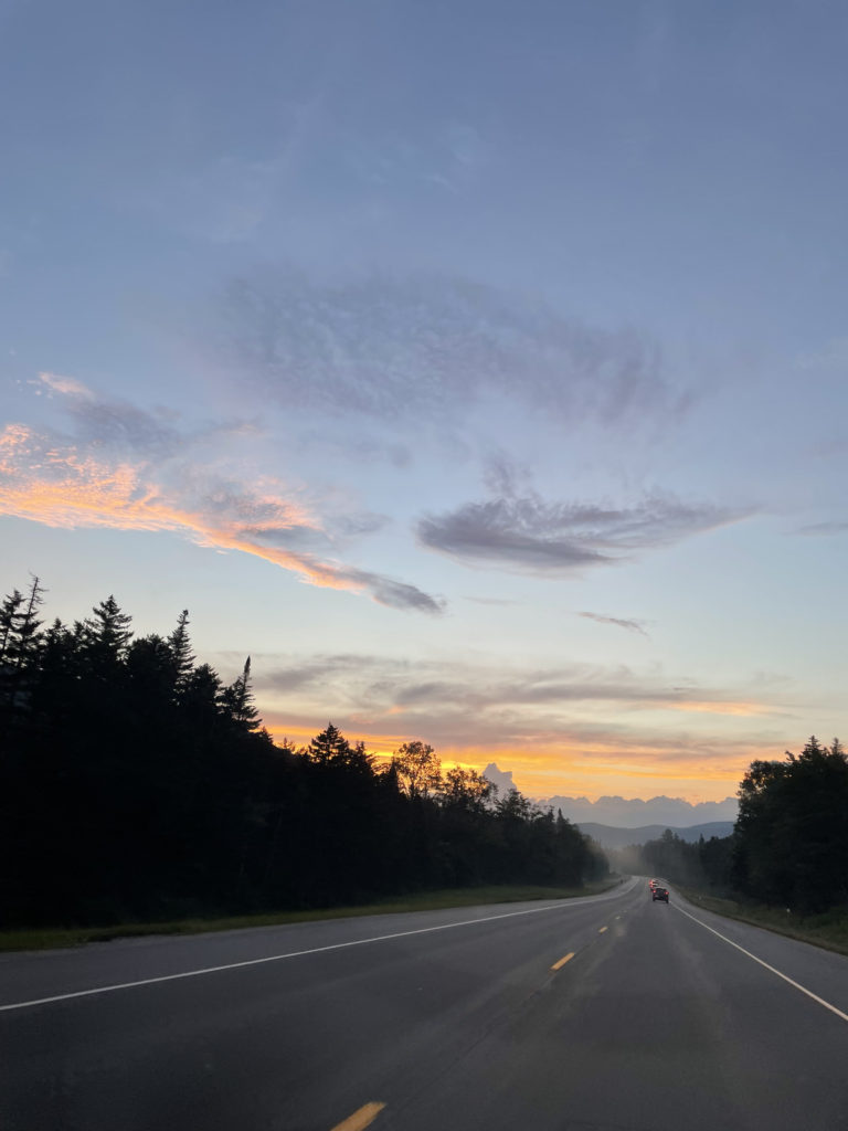
On this particular Monday night before my hike, it was oppressively hot in Portland. I was antsy and uncomfortable and eager to get to the mountains. So, at 7pm I hopped in the car and headed west. The sun was setting as I reached the National Forest, and I had just enough light to throw up my tent and light a fire before dark. It was also 20 degrees cooler in the woods.
Hiker term: Car camping
Not to be confused with camping inside your car, car camping means to camp at a location you can drive your car to.
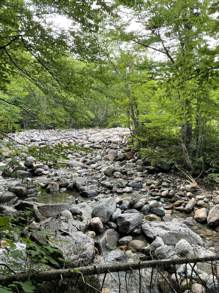
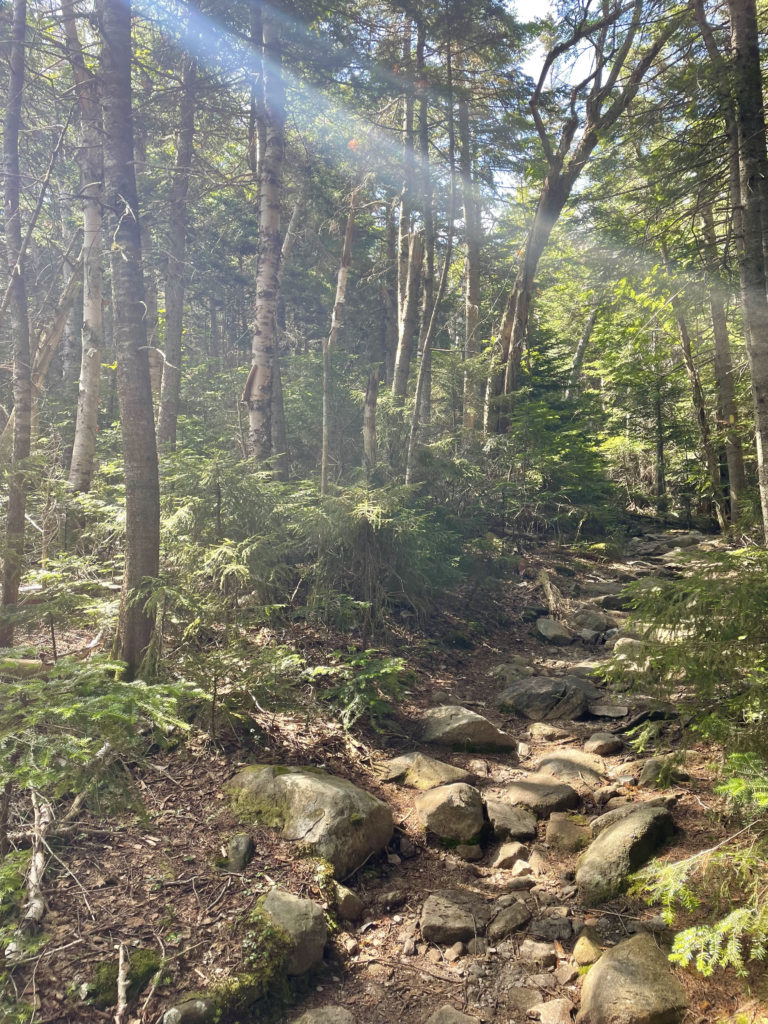
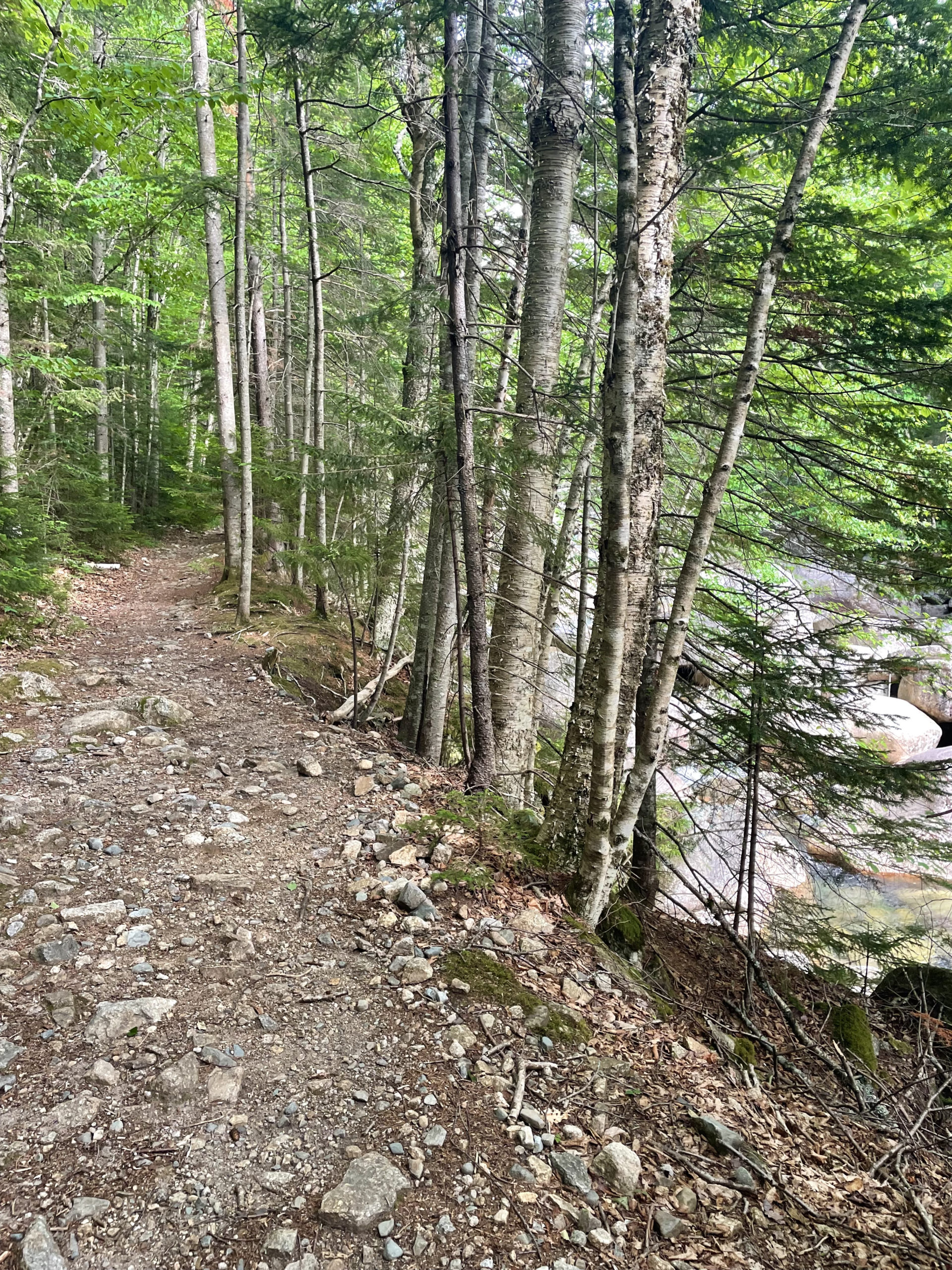
The next morning, I headed to the North Twin Trail via Haystack Rd (not open in the winter) off Rt 3. The dirt road crosses Little River and ends at the trailhead parking lot. From there, the trail follows an old railroad grade, crossing Little River three times in the first two miles. At high water, these crossings are difficult or impassable, according to the AMC White Mountain Guide.
The first two (harder) crossings can be avoided by staying on the east side of the water. There is a well-traveled path along the bank that bypasses the harder of the three crossings. It starts where the main trail crosses the river for the first time. The path then crosses a minor tributary, and immediately after it, an unmaintained trail leads to the left uphill (don’t take it).
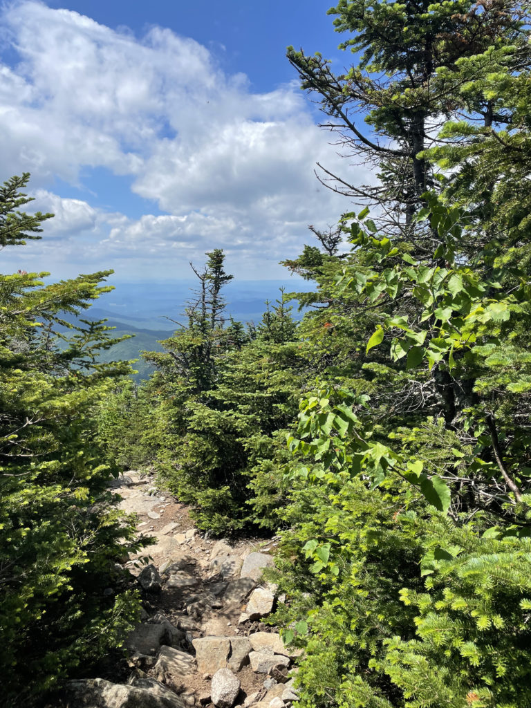
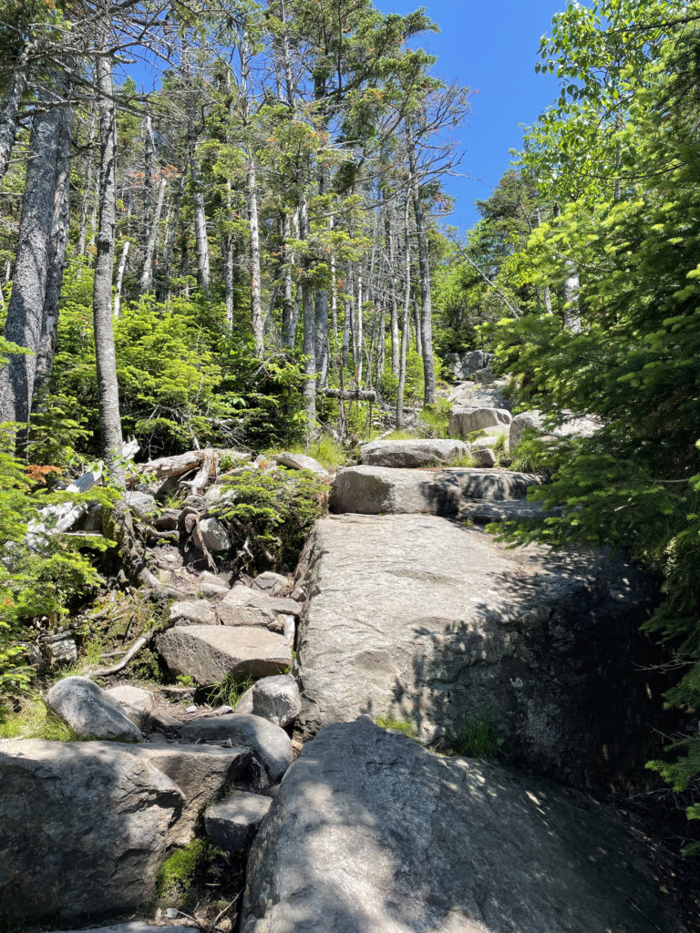
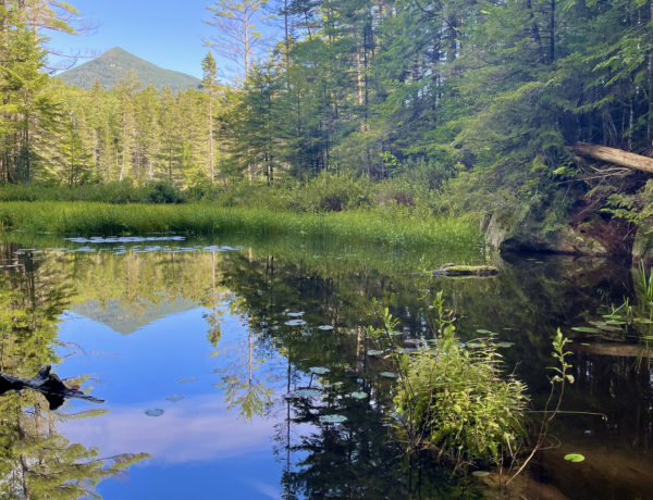
At about a mile and a half the bypass rejoins the main trail, which makes its third (and easiest) river crossing. The trail leaves the railroad grade and begins to climb steadily away from Little River, zigzagging across a tributary brook several times. At 3.5 miles, the grade becomes very steep with some erosion to manage, until reaching the end of a ridge. The climb along the ridge is gradual, ascending a rocky knob with an amazing view that poses as the summit. The true summit of North Twin is reached via a side path that leads into the woods.
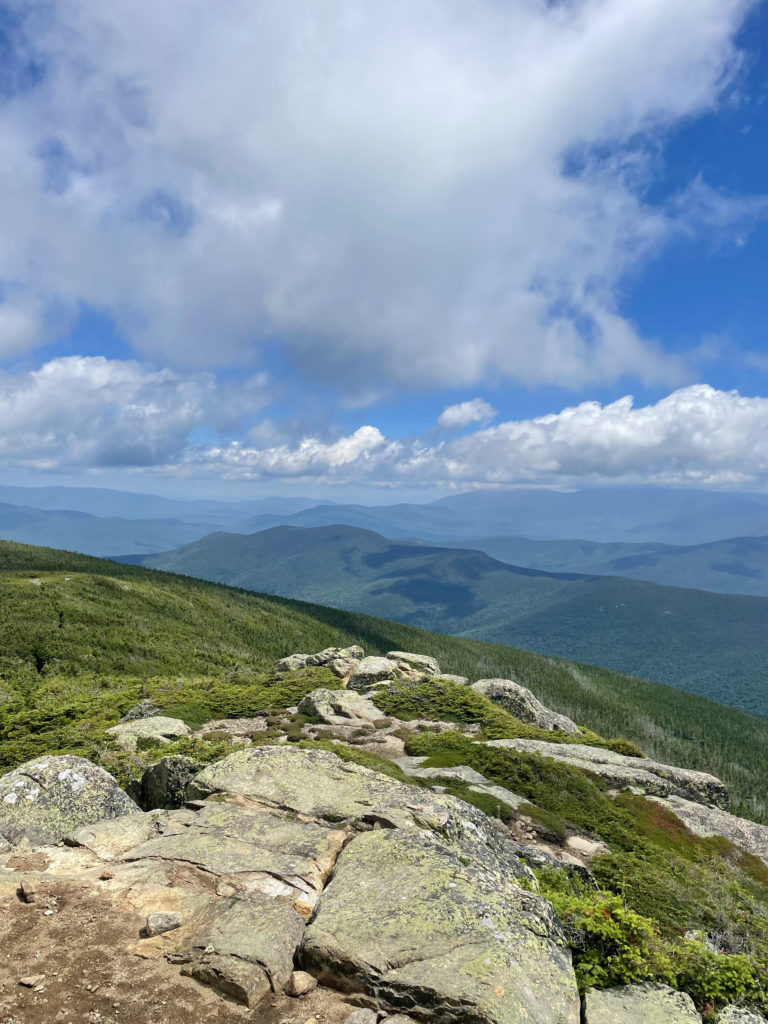
The trek to South Twin is 1.3 miles via the North Twin Spur, and the elevation gain is less than 300 feet, which is relatively easy… in comparison to what lies ahead. The view from the rocky South Twin summit is outstanding, and it’s worth checking these two off the 4000s list together… unless you’re planning a full Pemi, in which case you’ll hit South Twin on the way. The real question for me was: go for Galehead or save it for a Pemi loop?
I went for it. And it’s a good thing I did based on how I finished the rest of the Pemi peaks.
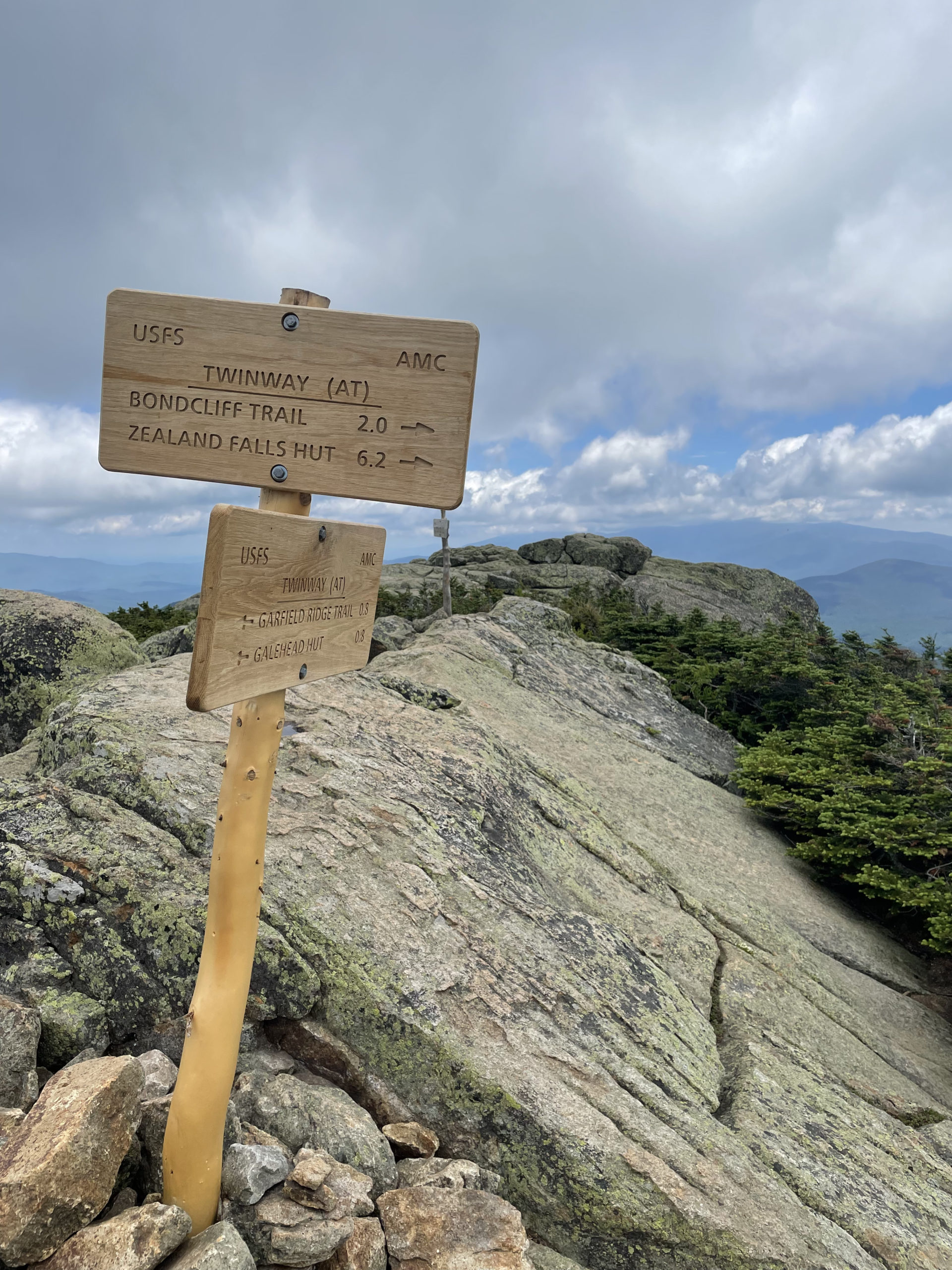
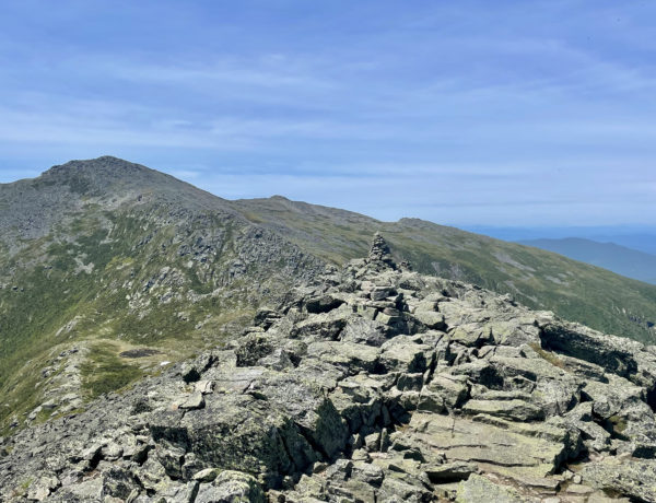
The North Twin Spur ends at the summit of South Twin Mtn. There I picked up Twinway, a trail that extends from the Galehead Hut to a junction with Zealand Trail and Ethan Pond Trail just beyond the Zealand Falls Hut. It is an important link between the region’s western mountains—the Franconia Range and the Twins—and the Bonds, the Zealand-Hale region, the Willey Range, and the northern Pemigewasset Wilderness. Twinway has some truly incredible views as it travels along the Pemi’s northern ridge crest. The entire trail is also part of the Appalachian Trail.
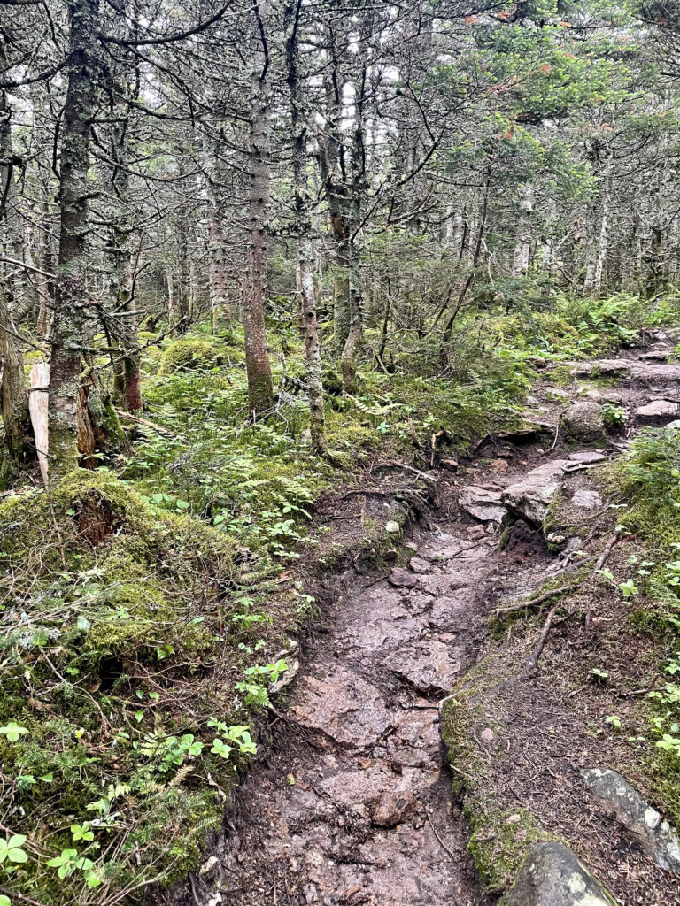
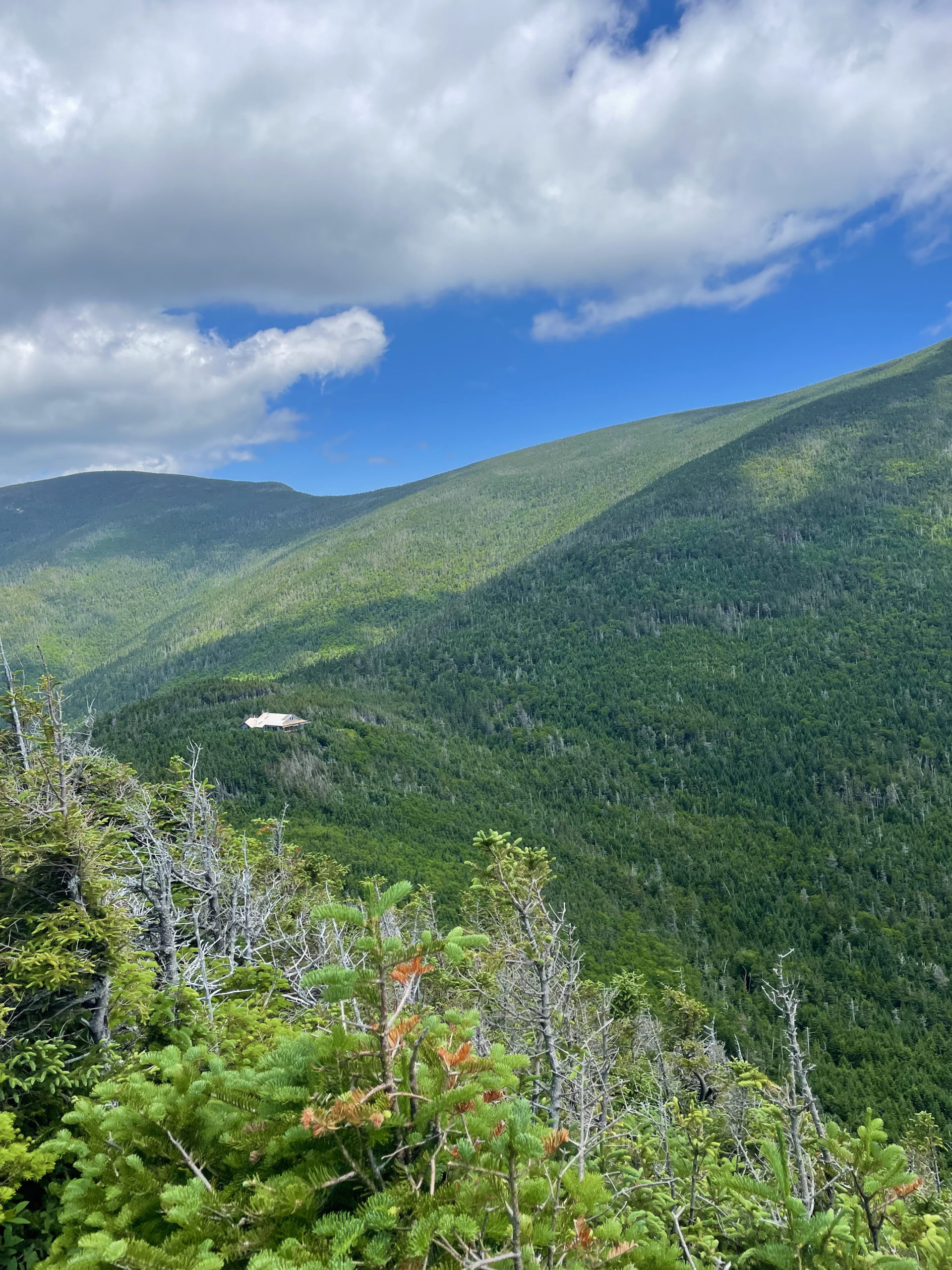
After leaving the cone of South Twin, Twinway descends steeply (over 1000 feet in under a mile) to the Galehead Hut. The rocky footway is tough on the knees; large rock slabs leaning at aggressive angles must be navigated with care. From the hut, it’s a short, gradual climb up to the exceedingly anticlimactic wooded summit of Galehead.
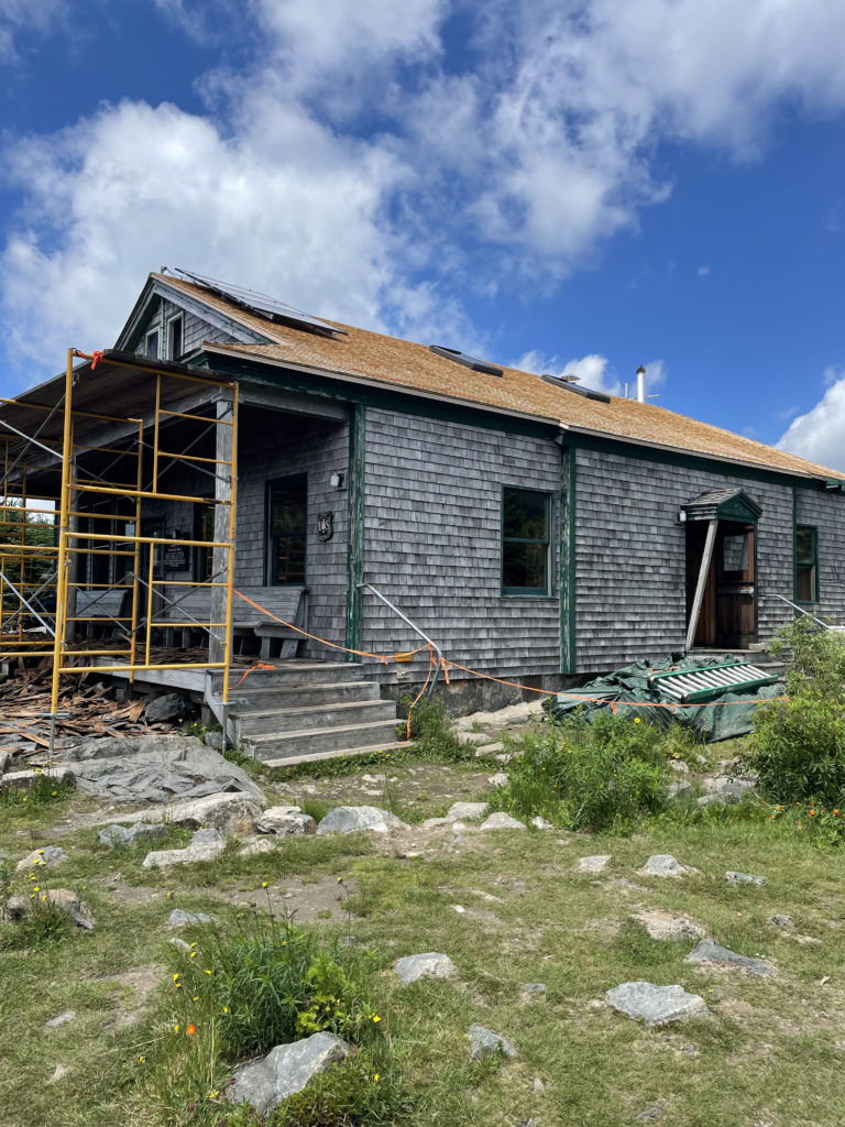
Back at the hut, which was undergoing renovation, I encountered a group of AT thru hikers. Chatting with them is quickly becoming a hiking highlight. There are so many different types of people who tackle the AT and for SO many different reasons. Each story is unique and interesting and relatable in some way. The extra-awesome thing about meeting thru hikers in the White Mountains is they’re so close to the end. And they’re tackling one of the hardest stretches of the trail. Barring an unforeseen injury or emergency, these folks are just weeks away from finishing a 2200 mile journey. It is impossible not to be interested, impressed, and inspired.
So, after encouraging the AT-ers to stop in Portland on their various ways home, I headed back up Twinway. This is the previously mentioned ‘what lies ahead.’ The climb from Galehead Hut back up to South Twin is intense, to put it mildly. Now you’re going UP over 1000 feet in less than a mile. It’s a stone stair climb like no other. The views on the way up Twinway are outstanding, and they’re a good excuse to pause often to take in the scenery… and catch your gasping breath. But reaching the top, revisiting the view, breathing deeply after massive exertion… this is why I hike.
The trip across North Twin Spur and the descent of North Twin Trail was what I expected—challengingly steep, then gradual through the woods. The river was beautiful and cold, perfect for a quick dip. I camped again and relished the 20 degree temperature difference for one more night. I didn’t make it up Mt. Hale the next day but decided the Twins were worthy of their own trip anyway.
Summit lesson: There's more than one way to skin a cat. Planning is important. So is the willingness to acknowledge unplanned obstacles, stop, assess, and re-route. In other words, there's more than one way to skin the Pemi.
North Twin Trail to North Twin Spur to Twinway
| Total elevation: 4,761, 4,902, and 4,024 ft | Elevation gain: 5,055 ft |
| Mileage: 12.6 miles | Alpine exposure: yes, at summits and ridge |
| Terrain: wooded trail, scrambles, rock steps | Challenges: water crossings, very steep |
| View payoff: amazing | Dogs: yes, if they’re up for a long, steep trip |
Recap: If you’re tackling the NH48 and don’t plan to complete a full Pemi loop, this is a great way to grab three peaks. The hike along Little River is beautiful and relatively serene, followed by an aggressive climb up to North and South Twin. The views from both are outstanding. The real killer of this route is the descent from South Twin to Galehead, followed by the climb back up. It’s a 1000+ foot elevation change in under a mile, and the trail is a pile of really big rocks. That said, completing this push is incredibly rewarding. Galehead Hut is a lovely spot for lunch and a break; it sits in a lush, green col. Remember the Haystack Road leading to the trailhead is seasonal, so tackling this route in the winter will add some road miles.
No Comments