Pine Bend Brook Trail – Mt Tripyramid Trail
Tripyramids: North 4180 ft | Middle 4140 ft | South 4,100 ft
When I got home from my Whiteface hike, I realized I had unceremoniously created a fairly aggressive goal for myself: Hike all 67 New England 4000 footers in one year. Using my Mt Adams hike as a starting point, that meant I had 50 more peaks and 195 days until September 11, 2021. The goal felt like a stretch, but a doable stretch, if I planned accordingly. And part of planning accordingly definitely meant tagging as many summits as possible during every hiking trip.
Now, there are some peaks (I see you, Mt Isolation) that have to be done alone. There’s just nothing else close enough to make it a loop, unless you want to hike reeeeeally far. But there are a whole lot of peaks you can hit together, and since I’ve pretty much exhausted the summits on the east side of the White Mountains (aka the side closer to Maine), I knew I was also going to have to start driving further to reach my goal.
It’s just about time to start camping.
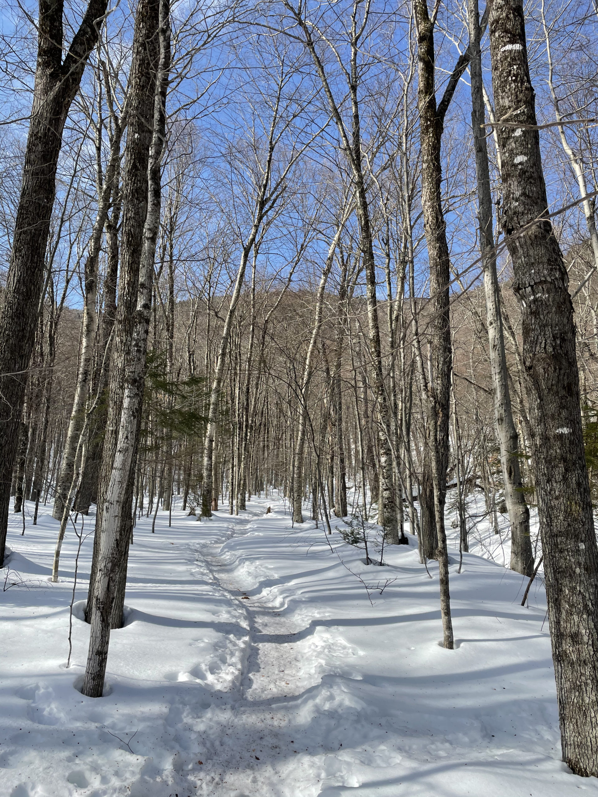

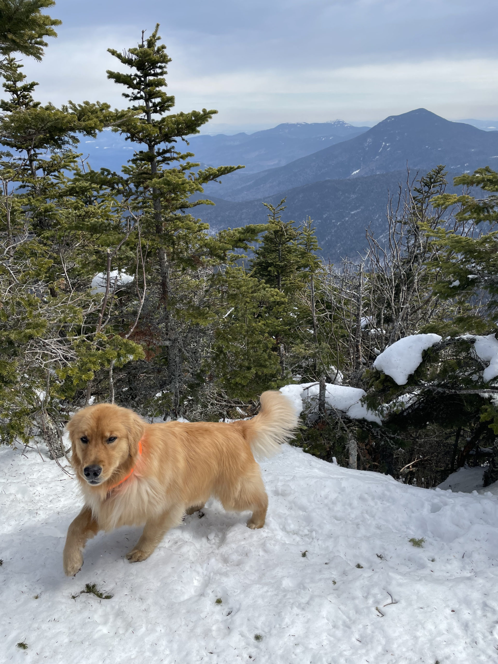
The Tripyramids can be accessed by multiple trails. I chose Pine Bend Brook Trail because it starts on the Kancamagus Highway (and we know how I feel about the Kanc) and decided to bring Luna along. There is no cell service once you get a few miles down the Kanc, which means no access to Internet maps. I always have to remind myself to have some sense of how far I’m travelling along the road so I don’t go speeding past the trailhead. The parking for Pine Bend Brook was on the side of the road, and the trailhead was accessed by climbing over a large plowed bank of gravelly, icy snow.
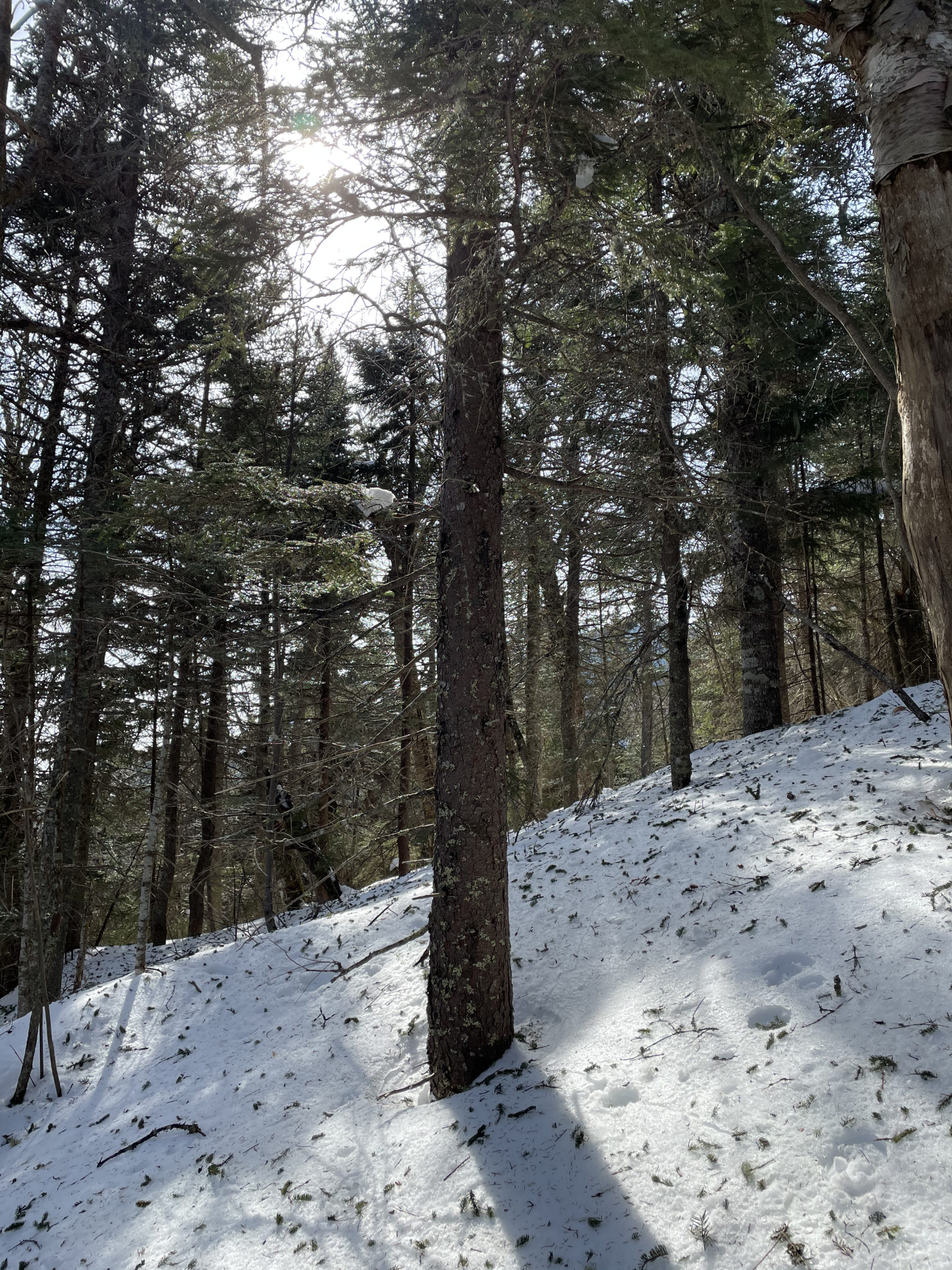
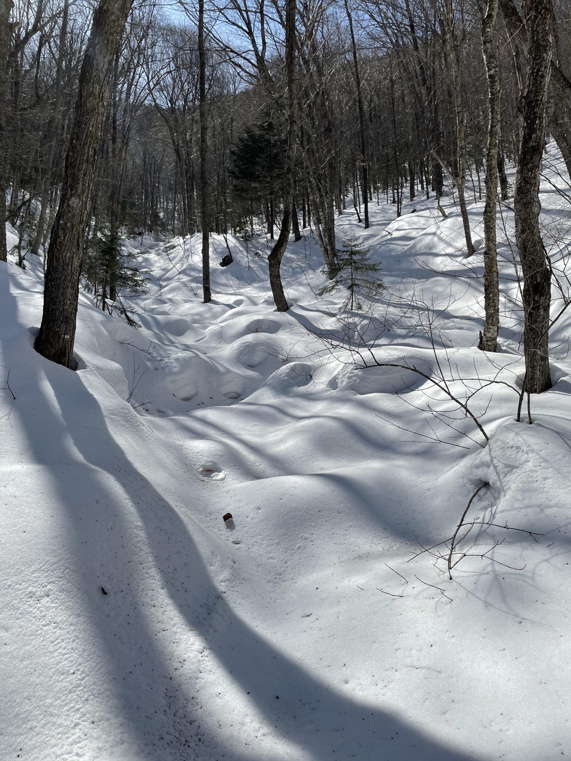
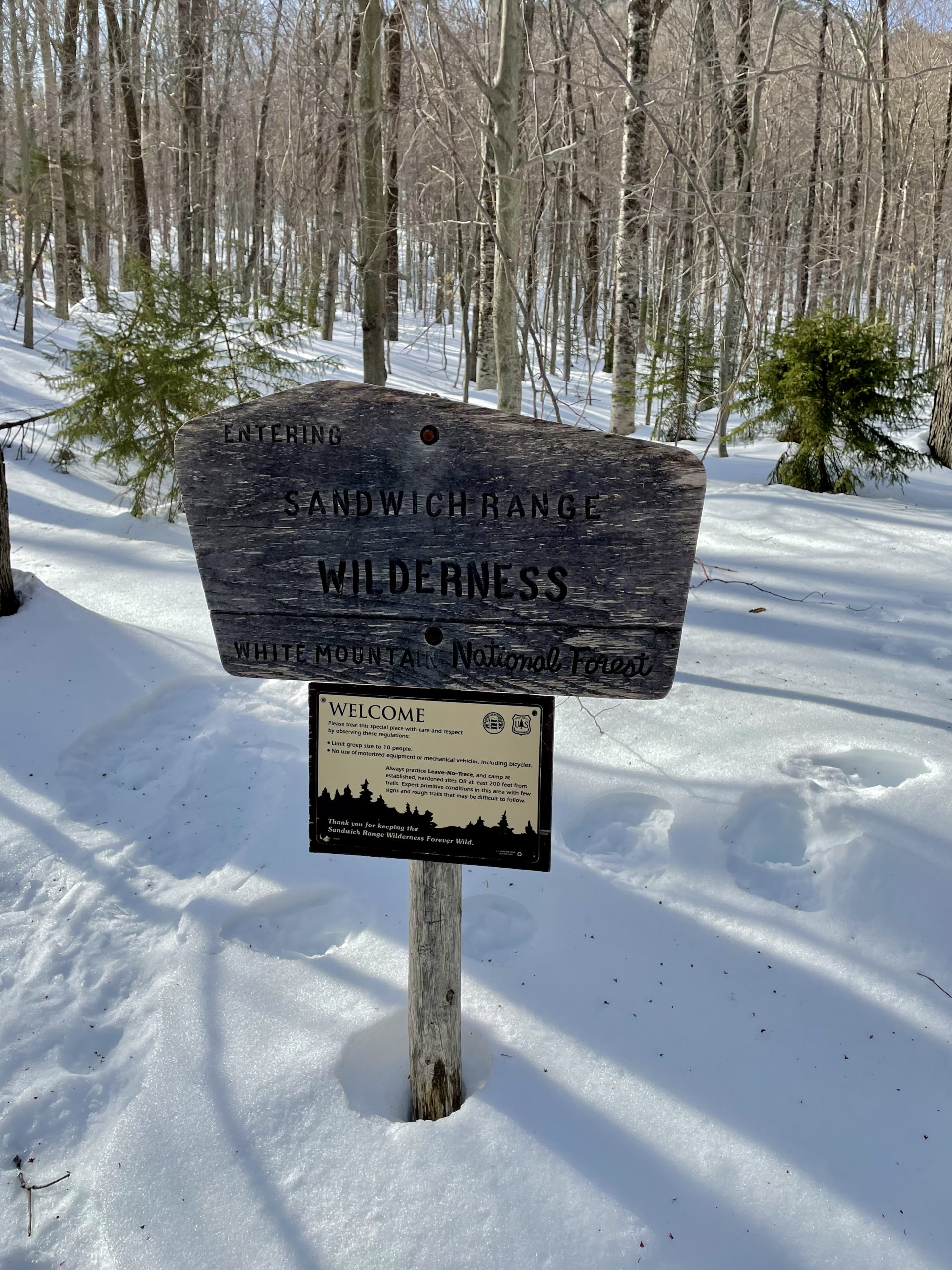
The trail starts easily with many minor water crossings and enters the Sandwich Range Wilderness around 2 miles. From here, Pine Bend Brook Trail follows along the brook bed before angling up a very steep slope. I had my poles shortened for the climb; I’m starting to wonder how I managed without them for so long, especially in the snow. After about a mile of steady, intense pitch, we hit a level section of trail and then started the gradual ascent up the narrow, wooded ridge on the edge of North Tripyramid.
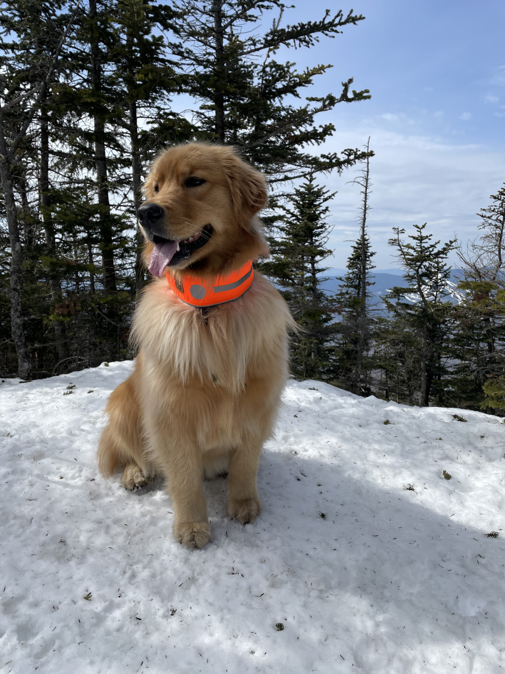
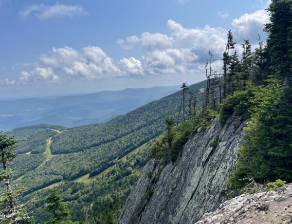
The final push is super steep and scrambly, until you merge with the Mt. Tripyramid Trail and pass the North summit. A side path offers a partial view. The trail then descends moderately, crossing the saddle between the North and Middle peaks and climbing again to the Middle Tripyramid summit. There is a west-facing outlook with a view of Waterville Valley Ski Area. The true summit is a few yards to the left, with an east-facing view. Luna gave it a sniff and we were on our way. The trail drops steeply into the next saddle between the Middle and South peaks, then climbs back up to meet the wooded summit, all in under a half mile. We ate a snack and reversed direction.

Speaking of snacks, I stopped bringing lunch in my pack around the middle of October. I found that if I stopped moving to eat at the summit, I got cold very fast, even when the temps were in the high 30s and lower 40s. Now I pack things I can eat quickly, while standing or moving, like energy bars and balls. I always have something more substantial waiting for me in the car, where I can warm up while I eat. This routine may change in the summer when I’m sweating at the summits instead of shivering… YTBD.
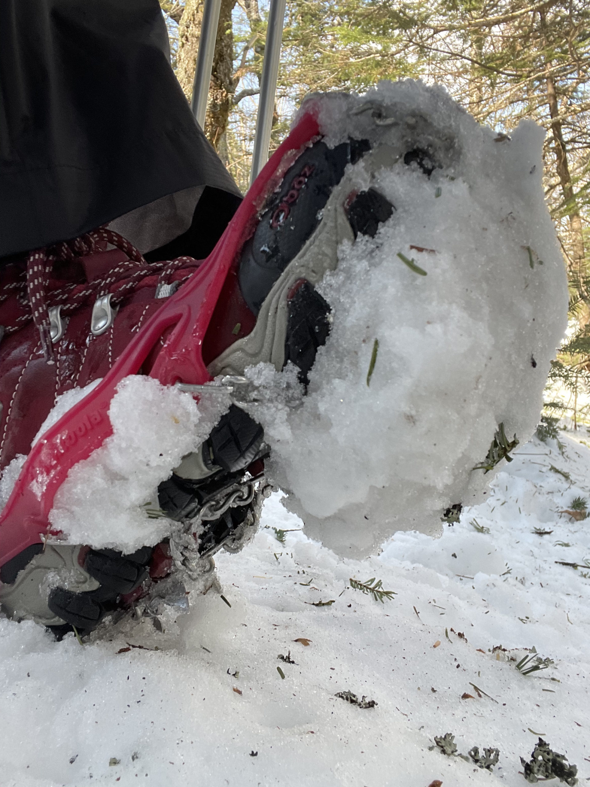
The descent on Pine Bend Brook Trail was very difficult. Everything was covered with packed snow, which created a ski slope effect. Even with poles I was sliding constantly, in part because my spikes kept collecting snowballs. I had a feeling I was going to lose my footing at some point, so I pulled off the trail and put on my waterproof pants. Not more than five steps later I was on my butt, sliding down the hill.

Luna went nuts, running up after me and around me and on top of me when I finally stopped moving. Then she had to lick my face to make sure I was okay. At this point I was laughing… fast forward three more unexpected ass-slides and I was no longer amused, especially when I almost slid right off a ledge and then almost slid right into a tree. I was not sorry to reach the first brook crossing, which is where things started to level out again.
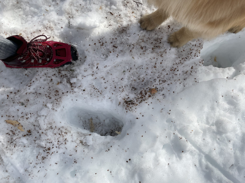
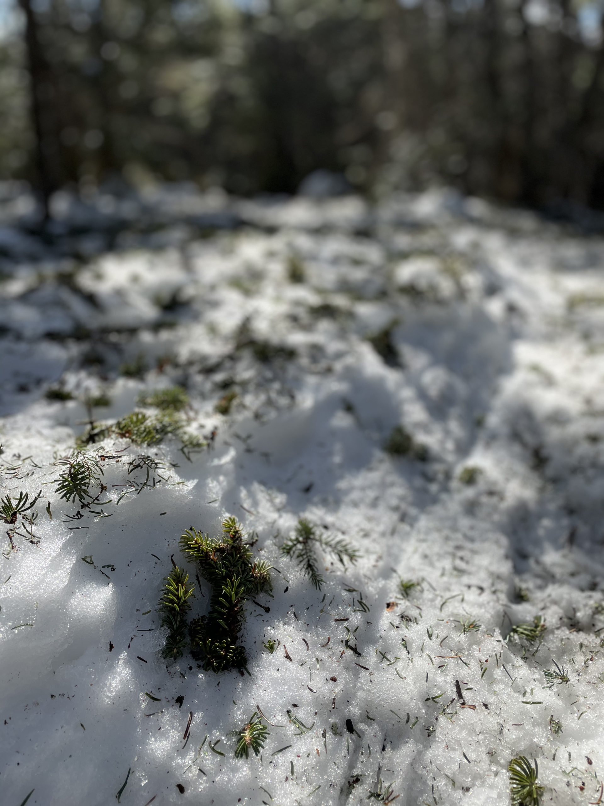
Hiker term: Postholing
Plunging a foot (or your entire leg) into soft snow and leaving a hole behind.
By the end of this hike, I was exercising my mental patience more than my physical endurance. There was basically a 12″ wide section of packed trial to hike on, often referred to as the monorail. Any minor step to the right or left resulted in a posthole, a miserable situation that involves, at best, your leg sinking into three feet of snow. At worst, you’re moving at a fast clip and the sudden loss of a useable limb causes a wipeout. After it happens a few times, it becomes epically annoying… not unlike sliding on your ass over and over again. There’s a fantastic post on REI’s co-op journal that explored the ‘semi-rad joy of postholing.’
This line really sums it up: ‘Accept the absurdity of the situation [and] laugh at yourself.’
Also noteworthy, some hikers get real pissy about postholes left by other hikers (as if those of us who posthole enjoy this miserable pastime). I mean, I get it. It’s an etiquette thing; leave the trail the way you found it for others to use. During posthole season, this would mean wearing snowshoes. But not everyone has snowshoes, nor do hikers always know exactly what conditions they’re going to encounter on the trail. Like most non-catastrophic differences of opinion in life, my take on this is do your best and calm down.
I realized, after surviving an infuriating mile of postholing, a frustrating hike is a mental workout. Like an intense physical sweat-session, the completion of a challenging psychological pursuit is followed by feelings of accomplishment, strength, and bad-ass-ness. Did I swear out loud on the trail? Yes, more than once. Was I pretty psyched to get back to my car? Yep. Would I call the hike a success despite my immense irritation? Absolutely. Frustration is part of life, and that applies to hiking. Sometimes the only way to manage frustration is to accept it, move through it, and reflect some perspective back at it.
Summit lesson: A frustrating hike is still a good day in the woods.
North, Middle, South Tripyramids: Pine Bend Brook Trail to Mt. Tripyramid Trail
| Total elevation: 4,180 ft | 4,140 ft | 4,100 ft | Elevation gain: 3,425 ft |
| Mileage: 9 miles | Alpine exposure: none |
| Terrain: woods walk, rock slab, scrambling | Challenges: water crossing, slippery rock, very steep sections |
| View payoff: outlooks only | Dogs: yes |
Recap: This hike starts off gradually, leading through woods and over brooks, for about two miles. An extremely steep section follows, which I imagine is rocky under the snow. The trek across the ridge is generally moderate with several major ups and downs, and the summits are mostly wooded with partial views. The descent over the packed snow was very slippery and sent me sliding more than once. I’d say this is a good one for the summer when the footing is better!
1 Comment
East Osceola | 4156 ft | NH - She Hikes Mountains
April 17, 2021 at 9:33 am[…] were dozens of postholing incidents, but as I’ve devoted several paragraphs to that misery in a previous post, it should suffice to say it sucked just as much as it did the first […]