Blueberry Ledge Trail
Mt. Whiteface 4020 ft
My last (incomplete) hike up Mount Isolation ended with a treacherously steep, slick descent that involved a lot of sideways sliding and tree-grabbing, debilitating knee pain, and a whole lotta swear words. There were moments during that descent when I thought my knee might actually give out. Like, just refuse to carry my weight another inch. I dragged a crooked, decaying stick out of the woods and put way too much faith in its ability to hold the near-entirety of my right-side weight. By the time I limped back to my car, I was feeling more than a little defeated and seriously questioning how the hell I was going to hike 51 more mountains.
Turns out, I had developed the dreaded hiker’s knee. A bit of research proved this is incredibly common, which made me feel marginally better. When hiking downhill, our knees are under significantly more stress than when we’re heading up. An article on The Outbound referenced a study that found the compressive force on your knee joint is up to eight times your bodyweight when going downhill. Even for a small human, that’s a BIG amount of weight.
I went in search of solutions, preferably ones that didn’t suggest surgery or extended down time. The unanimous first line of defense among websites and my hiker friends was… TREKKING POLES… followed by leg-targeted strength training, stretching, and the temporary use of a brace.
So, after my trying adventure through the snowy abyss, I opted to give my knee a break for a week or two and started shopping for poles. I continued running and rock climbing, because those activities didn’t bother my knee (or, if they did, I couldn’t feel it). Apparently the universe decided that wasn’t enough time off. The bouldering wall at Saltpump spit me off and my less-than-perfect landing resulted in a sprained ankle. I’ve sprained ankles before but never like this. Not only was my whole ankle the size of a grapefruit, my foot was swollen all the way to my toes, and I had bruises from the edges of my heel half way up my calf. It was as gross to look at as it was painful. A trip to urgent care revealed no torn ligaments (hallelujah) and the prescription was RICE: Rest, Ice, Compression, Elevate.
Hahahahaha.
Like many active people, physical downtime is not my super power. I’m also smart enough to know that pushing too hard or too soon usually makes things worse and recovery time longer. I stayed off my feet for a solid two days and stopped running and hiking for three weeks. I also avoided the bouldering wall. Slowly, the swelling went down, the bruising cleared, and the pain lessened.
Needless to say, I was VERY excited to head out on a mild Sunday for my first post-injury hike. My friend Jill came along, which was a change from my regular solo routine. We’ve known each other for years (we have kids in the same grade) but only recently discovered our shared love of hiking and all things outside. Jill runs Kids Movement Project, a program that teaches kids and their caregivers how to enjoy and access the endless benefits of regular exercise and time spent outdoors. Jill knows just about everything about the trails in and around Portland, which are numerous but generally not very challenging, and she was looking for something bigger. I suggested Mt. Whiteface because the mileage is on the low end and the elevation is just over 4000 feet. I knew from hiking Whiteface’s neighbor, Mt. Passaconaway, that the exposure at the top would also be manageable, even in February.
We reached the Ferncroft parking lot around 9:30am and it was nearly full. This designated lot is the only acceptable parking area to access the multiple hiking and cross-country skiing trails nearby. Signs make this clear, but it’s worth noting that most trails heading into the Sandwich Range Wilderness essentially begin in the Ferncroft residents’ front yards. Most are seasonal homes, but not all, and it did make me wonder what it would be like to have hikers plodding up and down my driveway in this otherwise peaceful hamblet all day long.
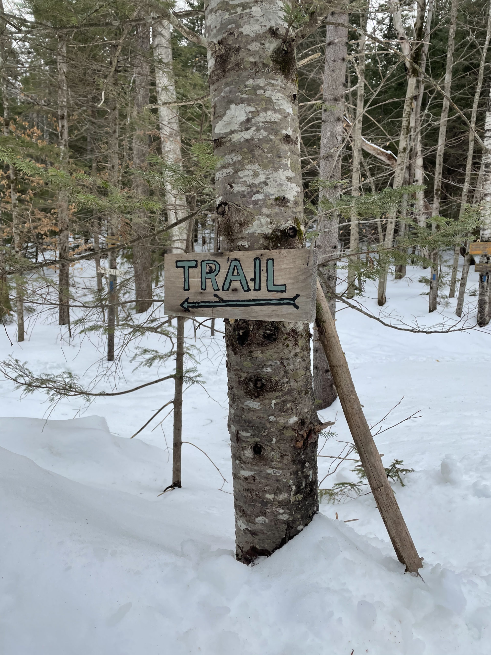
Point being, we moved quickly and respectfully over the bubbling Wanalancet River (there was a bridge) before making a left onto the Blueberry Ledge Trail.
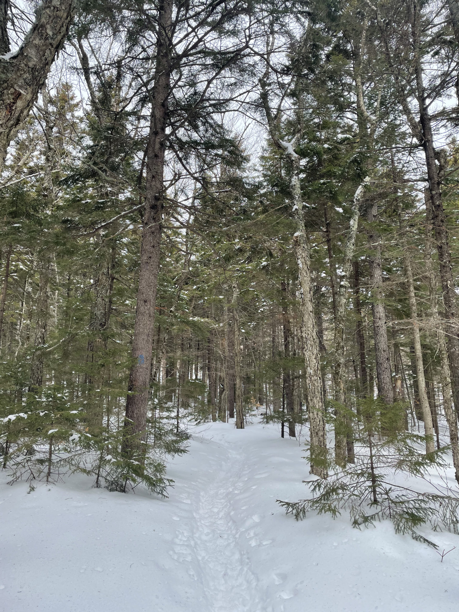
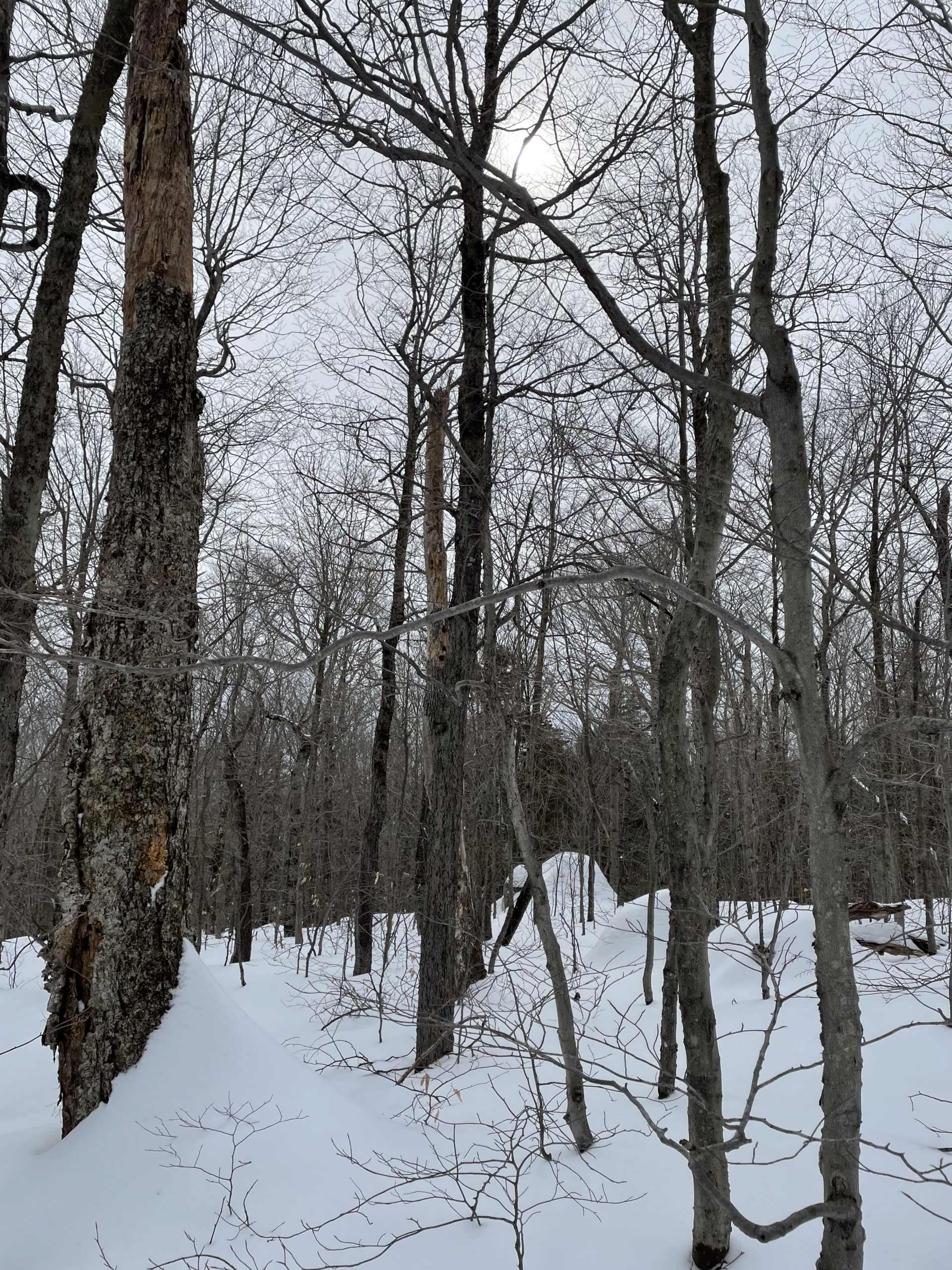
The first two miles were a woods walk; gentle elevation and easy footing. Jill and I chatted easily, although not constantly. In the car, we had talked about how important it is to us to fully recharge when we hike, and to do that we both needed some quiet time. Voicing our individual intentions for the hike made the long silent stretches on the mountain both expected and enjoyable. We were able to share an experience without sacrificing our separate-yet-similar need to tune out.
Establishing expectations and boundaries is a beautiful thing.
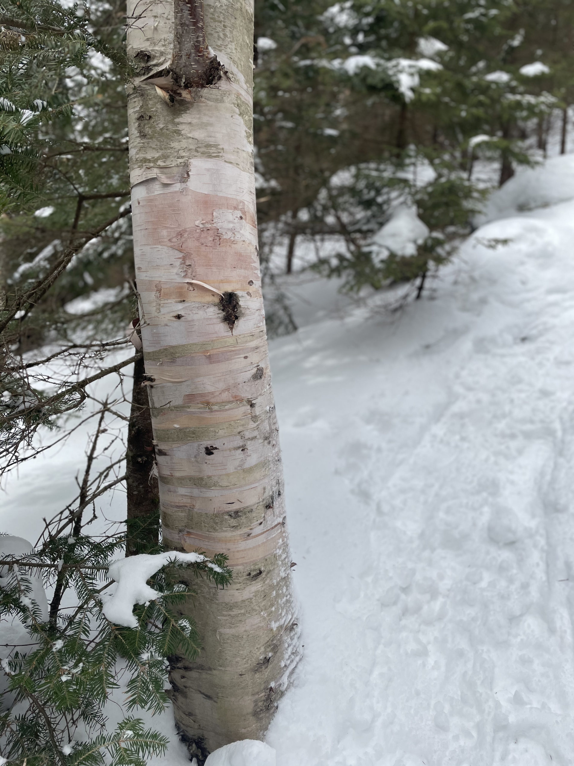
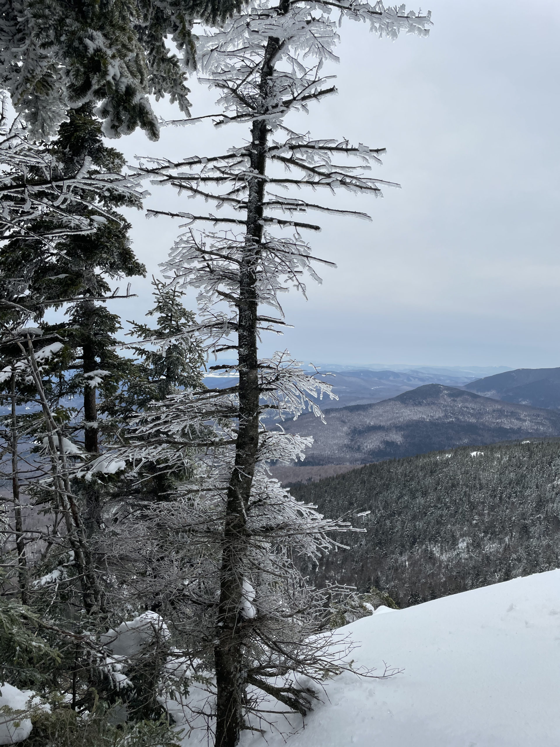
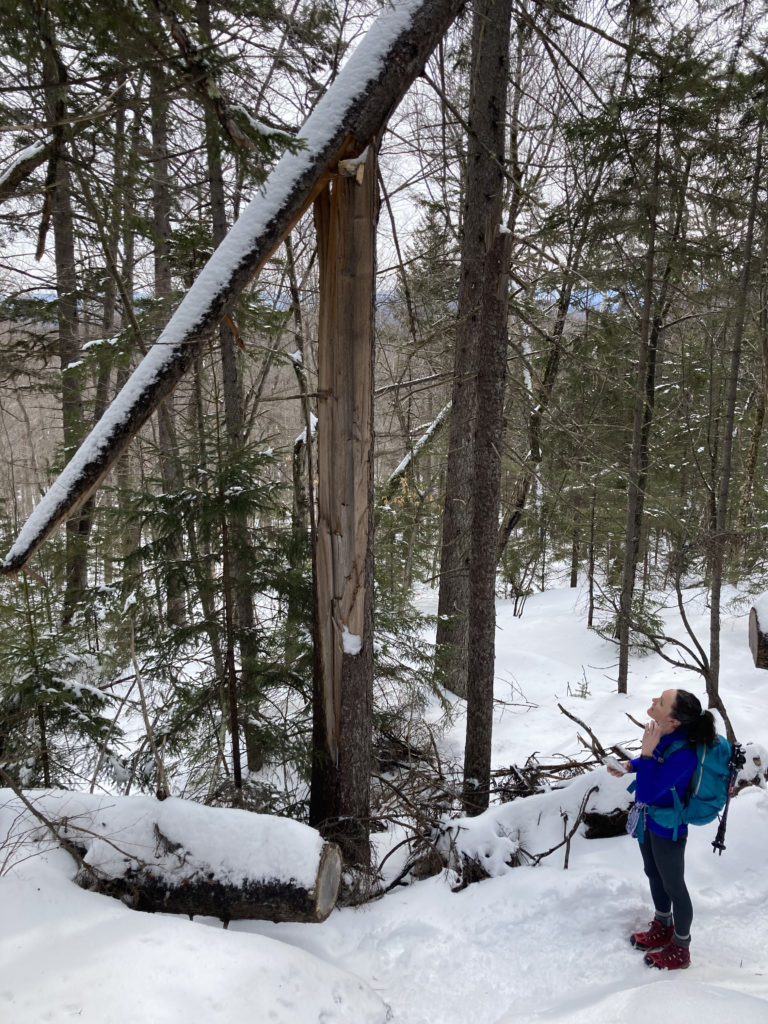
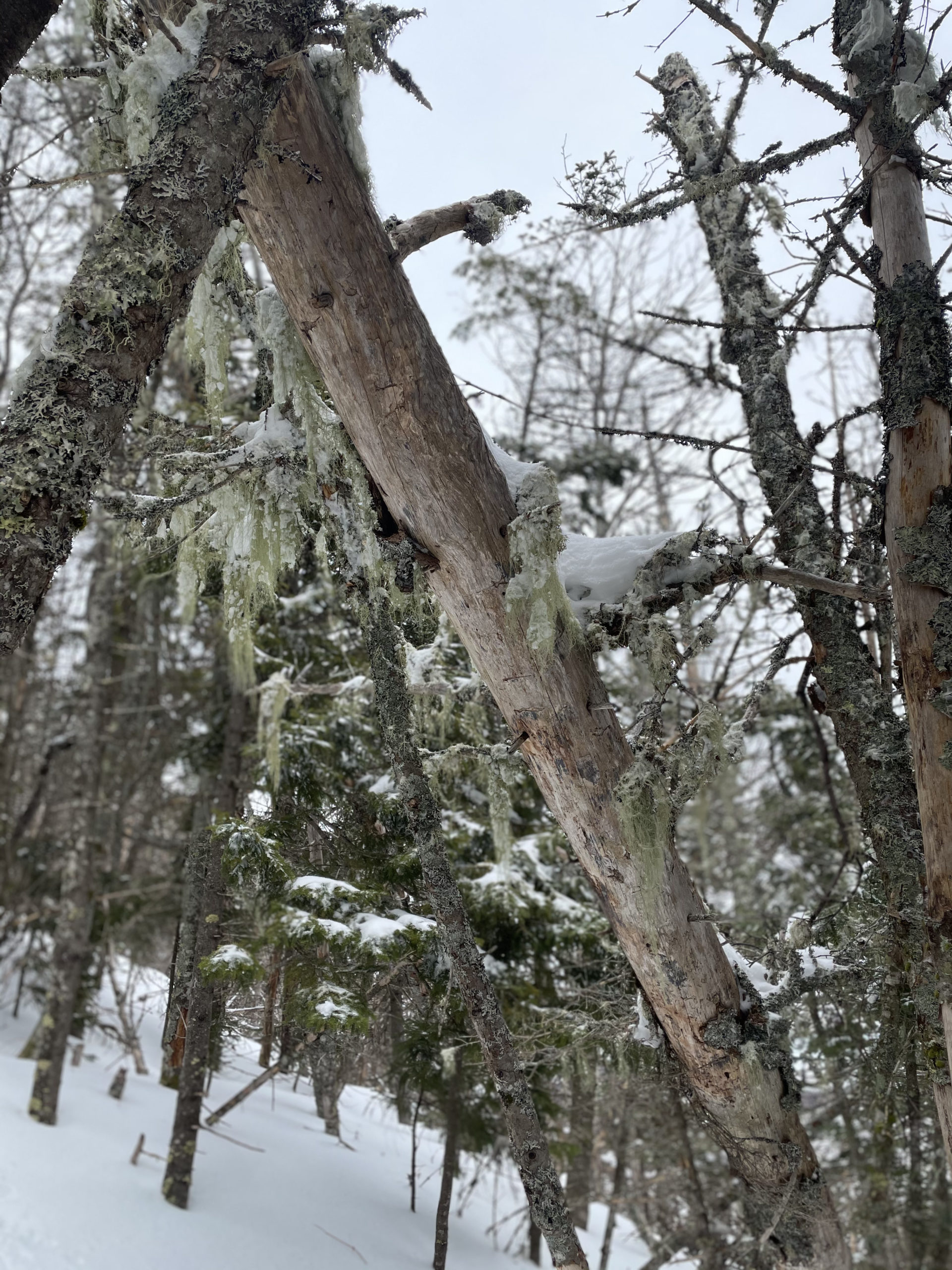
From trailhead to summit, Blueberry Ridge Trail was covered in snow. MICROspikes were a must, especially at mile 2 when the incline increased. The last mile was very steep with several serious rock scrambles, towering boulders, and drop off ledges. Jill had been on this trail in October and said the snow actually made the scrambles easier because the path was smoother. Not easy. Just easy-er.
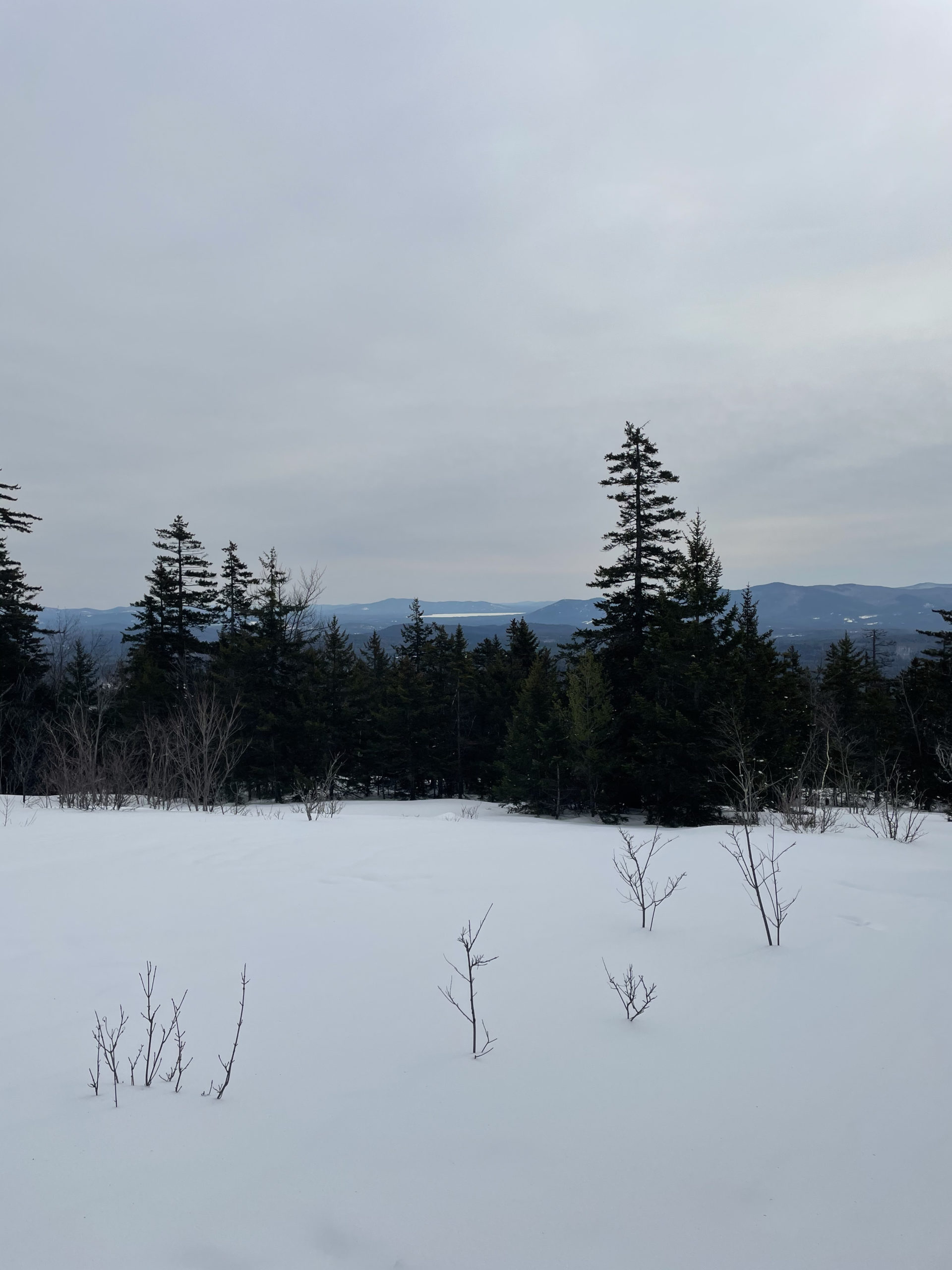
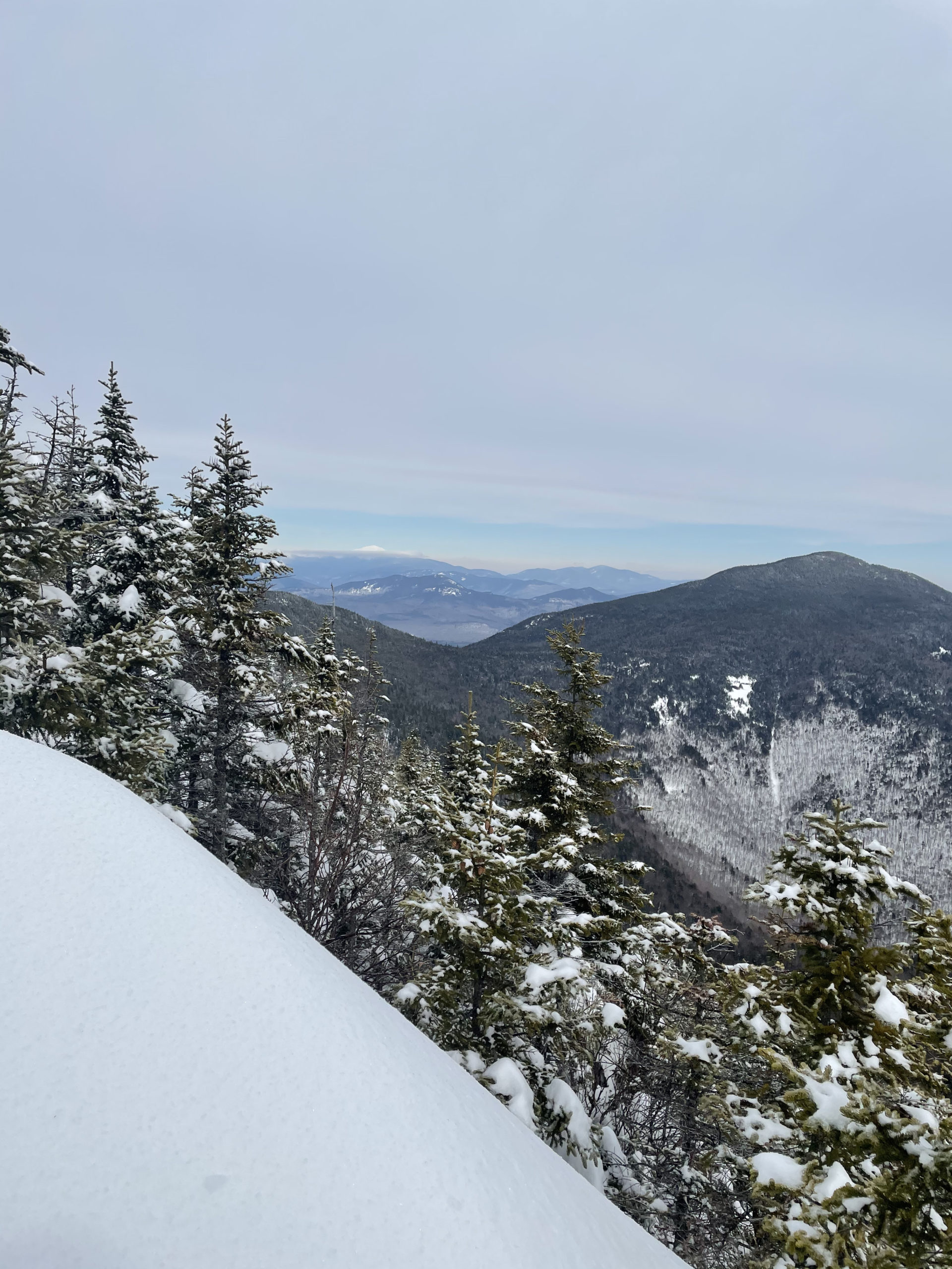
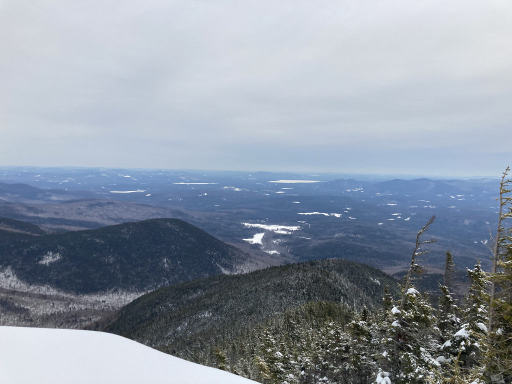
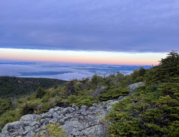
There was a fantastic outlook on the right just before reaching the summit. The view looked north and slightly east, and we spotted Mt. Washington in the distance (it’s the one that is entirely white). A quick, final push to the top brought us to an expansive westward view toward Waterville Valley. During the summer months, I imagine this summitt offers plenty of comfy rocks and ledges for a restful lunch. In late February, the payoff is a glorious view and a drastic drop in body temperature. Even on a zero-wind day, Jill and I were cold within seconds of stopping. We layered up, scarfed some pb&j, took our pics and said our hellos to fellow hikers, and were on our way back down.
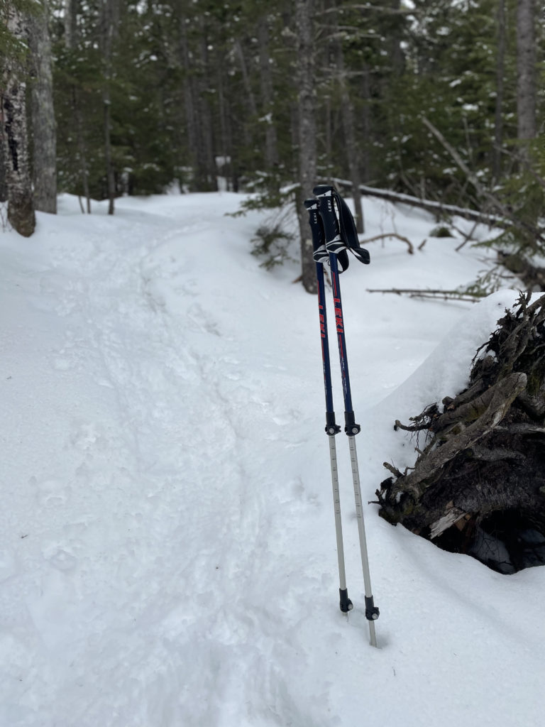
I was anxious about the descent. At Mt. Isolation, my knee started hurting on the first step downhill. I had my new Leki trekking poles out, and per the (mostly German) instructions, I had them adjusted to the longer length. According to Leki and the friendly EMS employee who sold me the poles, your arm should be at 90 degrees to walk on flat ground, slightly lower for the uphill, and a smidge higher for the downhill. I had a knee brace in my pack but I didn’t want to use it unless I had to. Braces are meant to offer temporary support, not indefinite knee abutment. I kept waiting for the pain to flare up… one mile… two miles… before I knew it we were back to the woods walk section of the trail and I wasn’t even sore!
Okay, technically my bum ankle was sore, but I expected that.
The trekking poles were a game changer. It’s going to take me some time to adjust to using them. There were times when I felt like I was just dragging them along next to me like dead limbs, but there were also times when I definitely felt them transferring pressure away from my knees and legs. Also, using the poles engaged my arms in a way they aren’t normally participating when I hike, which made the descent more of a total-body burn versus a lower-body blowout.
The whole hike took us four hours, and my iWatch clocked 8 miles, not the 7.1 stated on the AllTrails app. It’s possible the app doesn’t count the walk from the Ferncroft parking area to the trailhead; that would account for at least a half mile.
Hiking tip: Poles!
Do yourself a favor and purchase trekking poles before your knees give out, not after.
Before the trip, Jill and I debated bringing our dogs, but we were worried about the scrambles and the possibility of ice. Dog hoisting is certainly easier with two humans than one, but it’s still not ideal. In retrospect, they probably could have done it, thanks to the snow pack covering the scramble sections. We agreed the last steep mile would have been tough, both going up and down, and we were happy with our choice to leave them home this time.
After a stop at McDonalds for coffee, fries, and an indoor bathroom with running water, Jill and I cruised home in her minivan and talked about how empowering—and important—it is for women to hike. Or to do any other thing that ‘fills our buckets,’ as Jill says. Her comment made me realize how depleted my bucket had become during my knee-and-ankle hiatus. Being injured absolutely sucks, and I know hiking too soon wasn’t the answer. That said, injury is somewhat inevitable among those of us who are active outdoors, especially on uneven terrain. Ideally it’s minor and fast-healing… but if it isn’t…
God, save our restless souls.
Summit lesson: Create a bucket-filling back up plan.
Mt. Whiteface: Blueberry Ledge Trail
| Total elevation: 4,020 ft | Elevation gain: 2,808 ft |
| Mileage: 8 miles | Alpine exposure: none |
| Terrain: woods walk, scrambling, ledges, boulders, very steep | Challenges: drop offs, slick ledges, steep sections |
| View payoff: 180 degree at false summit (actual summit has no view) | Dogs: yes, possibly with some butt-boosting |
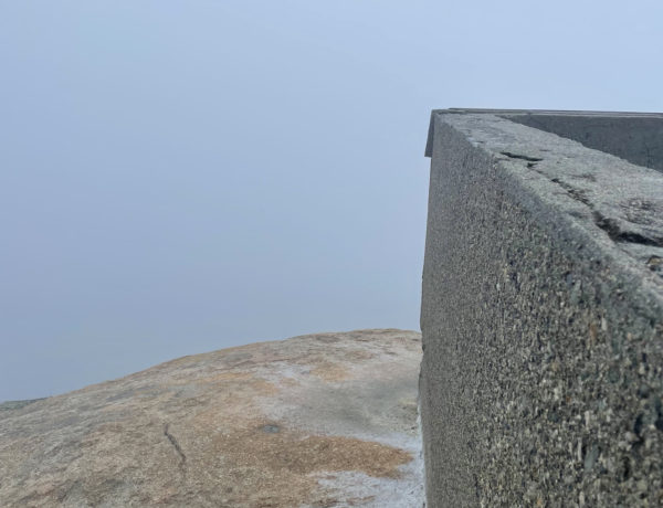
Recap: This was a great hike with a nice variety of terrain. The beginning was moderate and the challenge increased steadily, leading through some very steep sections. There were impressive boulders and ledges near the top (scary for those afraid of heights/falling), and a nice view to the northeast. The true summit is a bit further along the trail, marked by a rock in the woods.

1 Comment
The Tripyramids | 4180 ft | NH - She Hikes Mountains
April 17, 2021 at 10:48 am[…] I got home from my Whiteface hike, I realized I had unceremoniously created a fairly aggressive goal for myself: Hike all 67 New […]