Owl’s Head Path via Lincoln Brook Trail
Owl’s Head Mtn 4025 ft
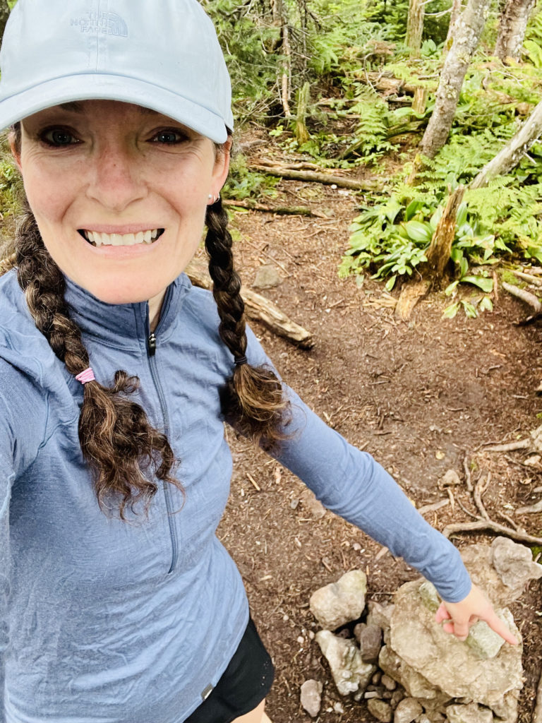
Ah, Owl’s Head. Along with Mt. Isolation, it is one of the most dreaded 4000 footers in New Hampshire. People love it or hate it. Mostly they seem to hate it, and mostly because it is incredibly isolated and takes at least 15 miles to complete (17 if you skip the bushwhacks). No one wants to end their 4000 with Owl’s Head’s wooded summit, but I know a lot of people who put it off until their second-to-last hike.
I thought it was wonderful and I plan to do it again. On purpose.
Here’s the thing: the only reason this hike is rated as hard is because of the distance and an absolutely brutal last mile to the summit. And it should be rated as hard. I’m not arguing that. I’m just saying, if you like walking in the woods over moderate elevations for long periods of time, Owl’s Head is your jam.
This hike starts at the Lincoln Woods Visitor Center on the west side of the Kancamagus Highway. There is a fee to park and a ranger available to answer questions during the tourist season. Many people start the Pemi Loop here, and there are multiple easy-to-moderate hikes in the area, so it’s a busy place in the summer. According to the AMC White Mountain Guide, this area receives “extremely heavy use.” Arrive early to ensure a parking place, especially on the weekend.
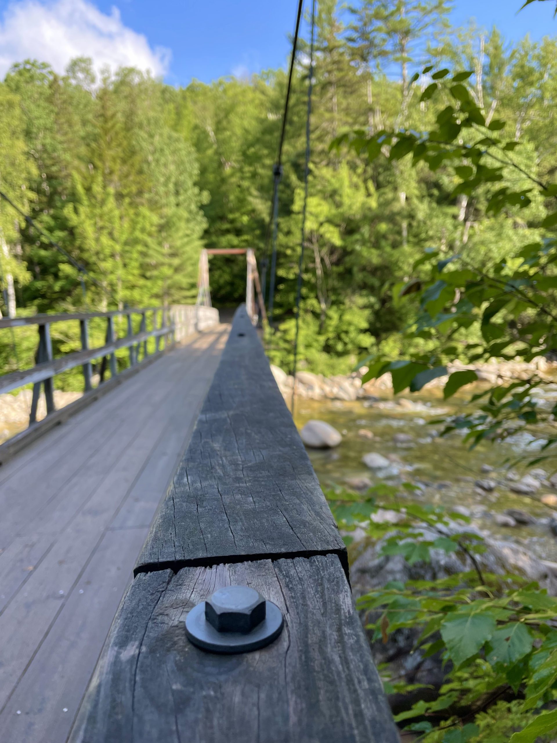
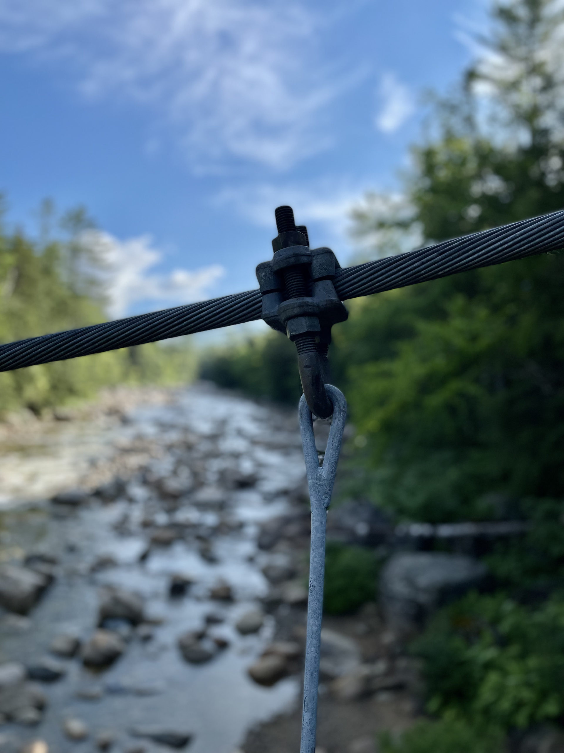
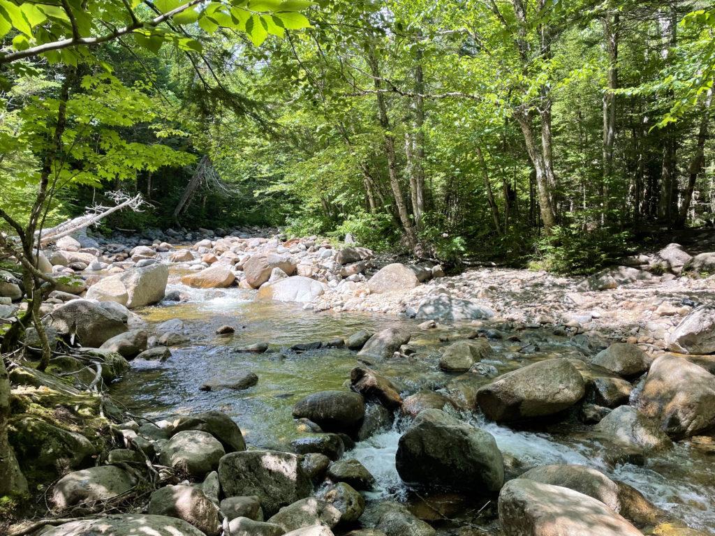
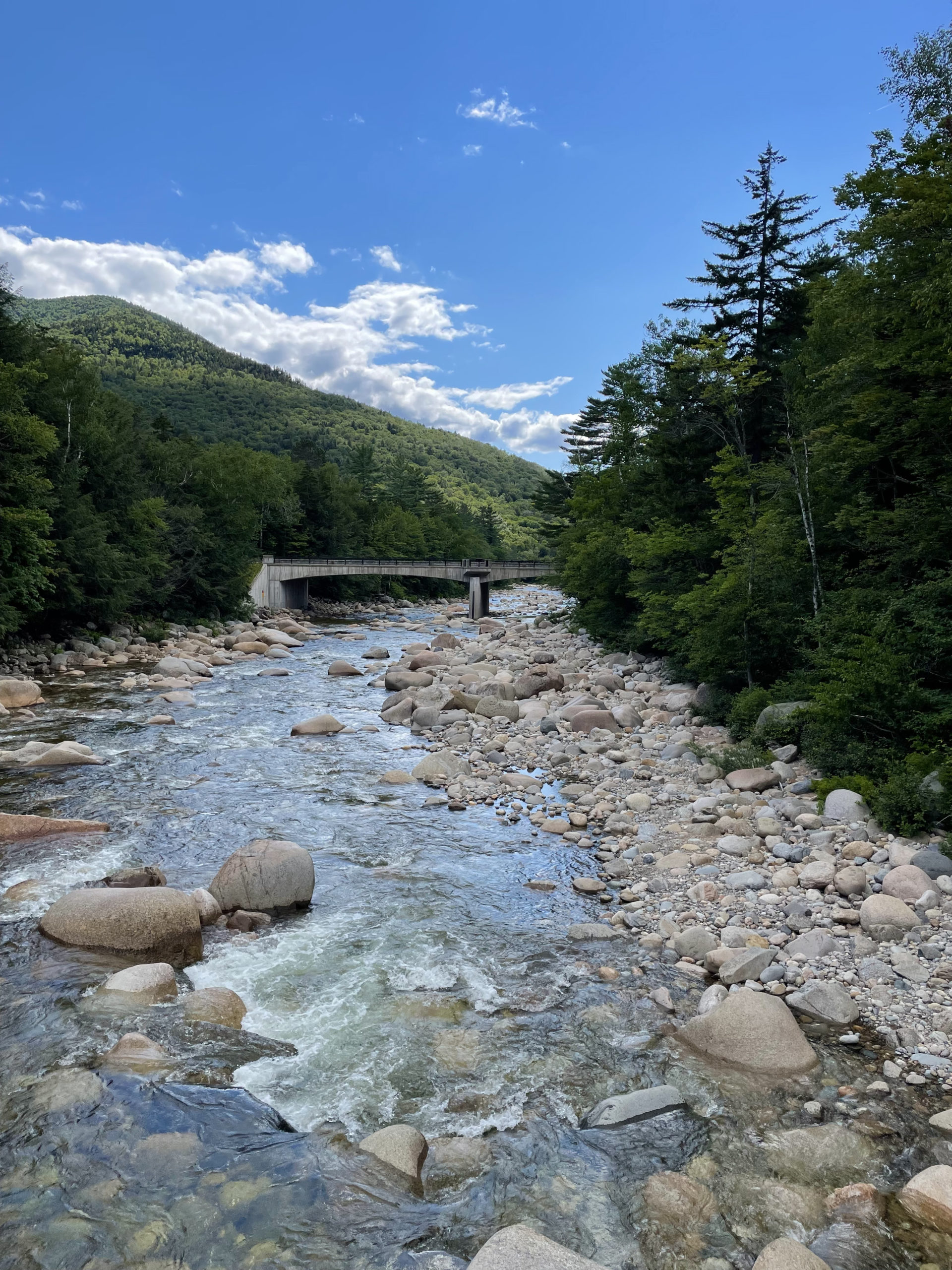
Two major trails leave from the visitor center. Lincoln Woods Trail and Pemi East Side Trail. Both lead into the Pemigewasset Wilderness, but they run on opposite sides of the East Branch of the Pemigewasset River. At one point there was a bridge along the way to cross over, but it’s gone and the river is considered impassable. It’s wide and gets moving when the water is high. So, make sure you begin your hike on the correct side of the river!
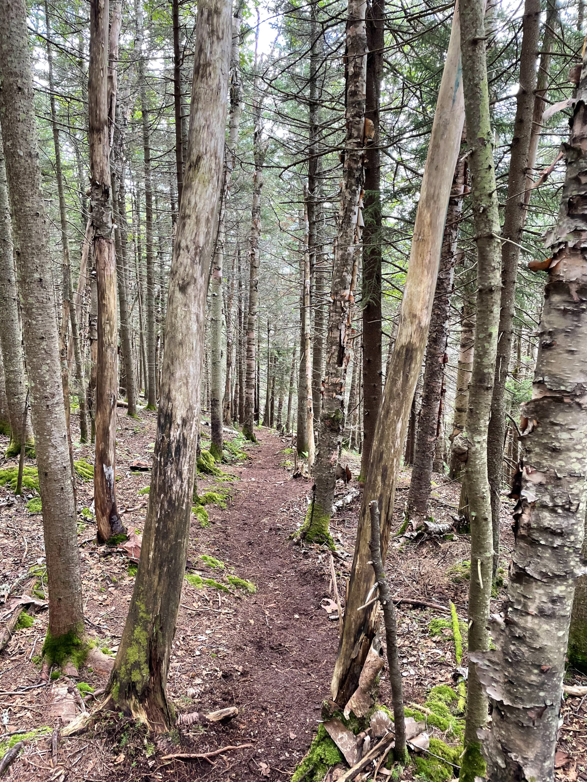
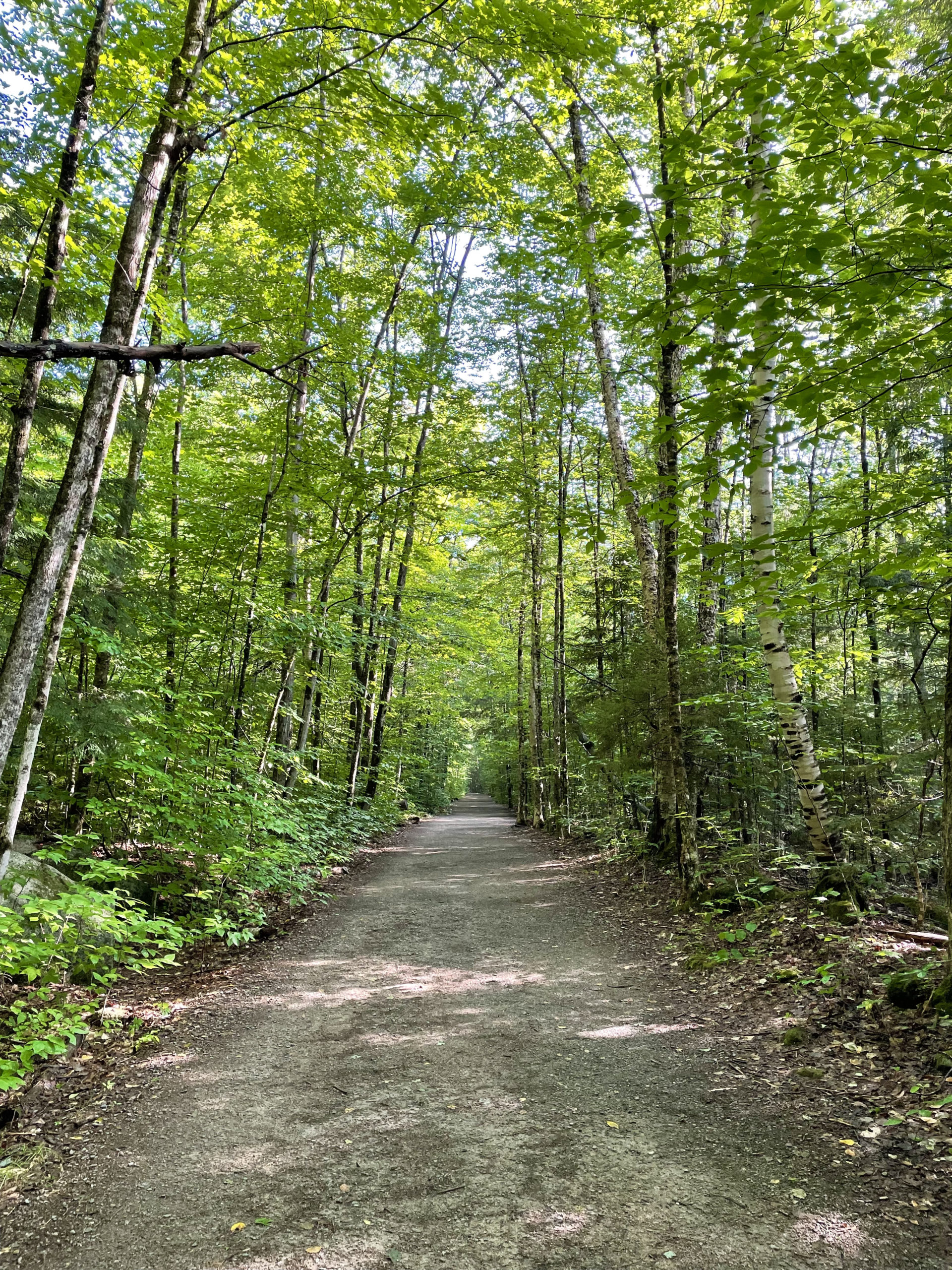
To reach Owl’s Head, that means crossing the suspension bridge near the visitor center to reach the west side of the river. From there, Lincoln Woods Trail turns right and follows the wide bed of a logging railroad, climbing almost imperceptibly. One complaint I found is that the layout of the old railroad ties—which you have to walk along in places—doesn’t match up with some people’s walking strides, so the gait feels unnatural. I didn’t find this to be an issue, but I can see how it would be annoying.
Also worth noting, this trail was damaged significantly during a storm in 2011, and in places the riverbanks have been severely undercut by washout. Make sure to stay on the trail in these spots to avoid creating more erosion (or slipping down the bank).
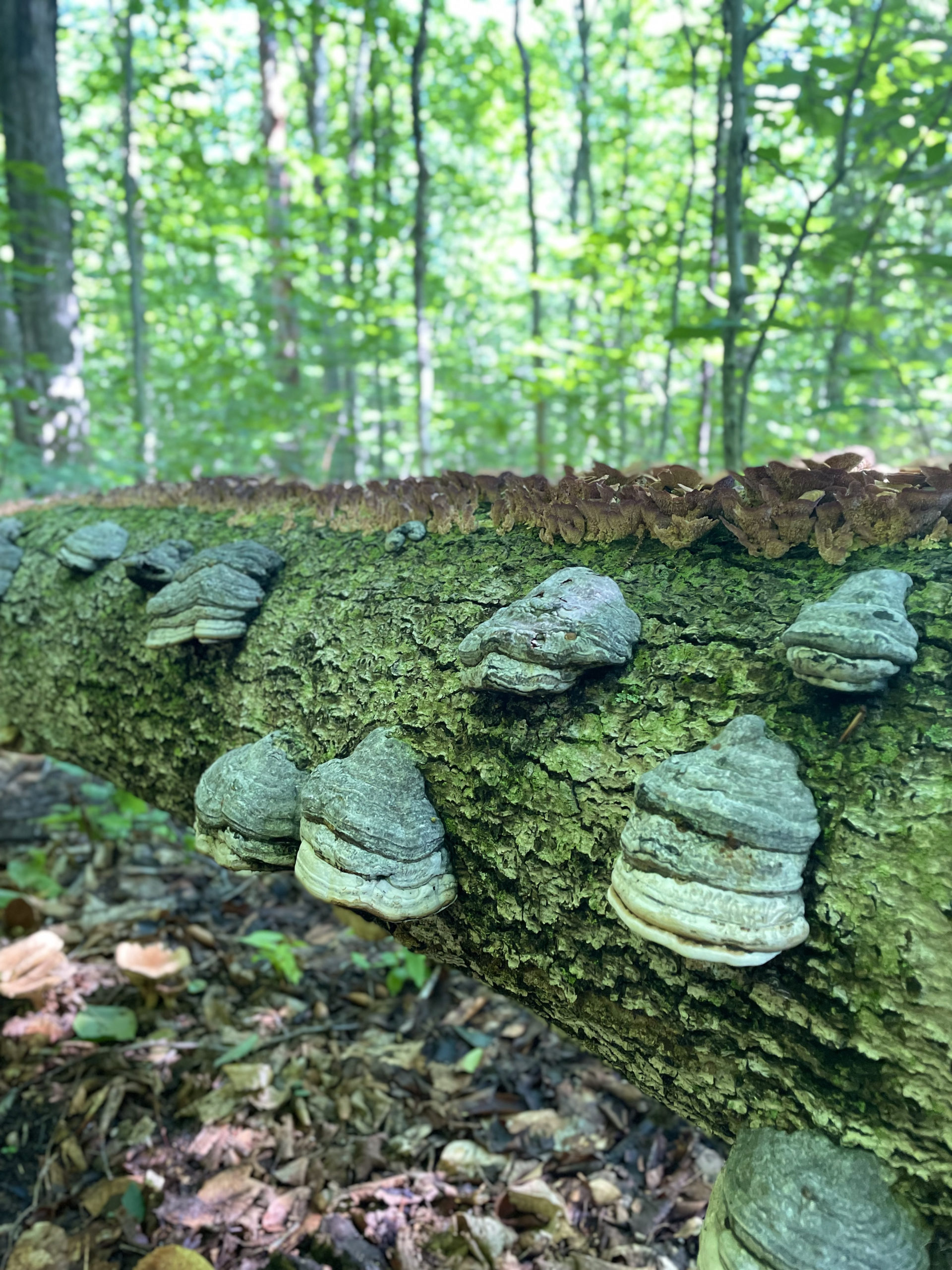
Shortly after Osseo Trail heads off to the left at 1.4 miles, Lincoln Woods Trail passes an old logging camp. Remnants of the logging era can be seen along the trail, including dugway roads (roads dug into a mountain), ice ponds, bridge abutments at stream crossings, old dumps, abandoned rails, railroad ties, and ironware. Remember: removing any artifact from the National Forest is strictly prohibited under the Antiquities Act.
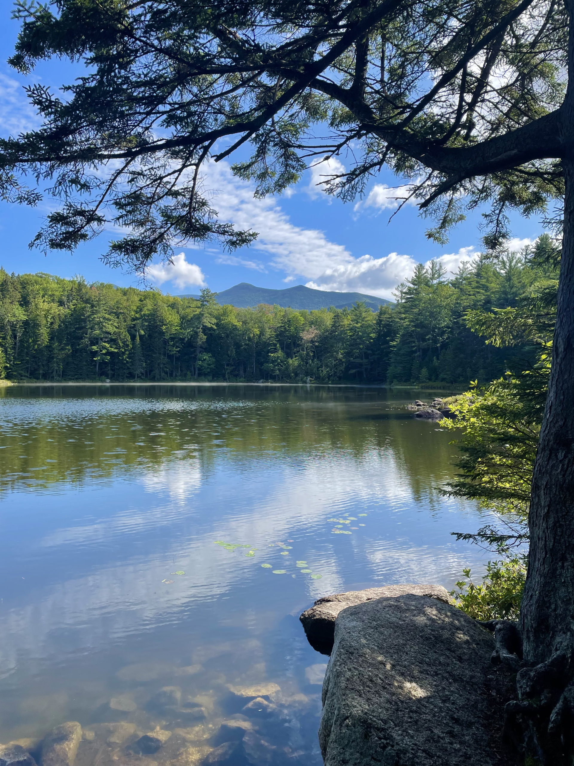
At 2.6 miles, Black Pond Trail leaves to the left. This trail leads to Black Pond and lovely views of Owl’s Head and Bondcliff from the shore. Here you will also find the first of two bushwhacks created to ease the pain that is Owl’s Head. I’m not someone who generally takes shortcuts on hikes. It feels like cheating… which doesn’t make much sense since the goal of the 4000s is to tag the summit. If I were red lining or hiking the AT, it would definitely be cheating. In this case, the two bushwhacks offer safer hiker options in most circumstances, so I felt okay utilizing them.
Hiker term: Redlining
Hiking all the trails in a given region. For example, completing all the trails described in the AMC’s White Mountain Guide book.
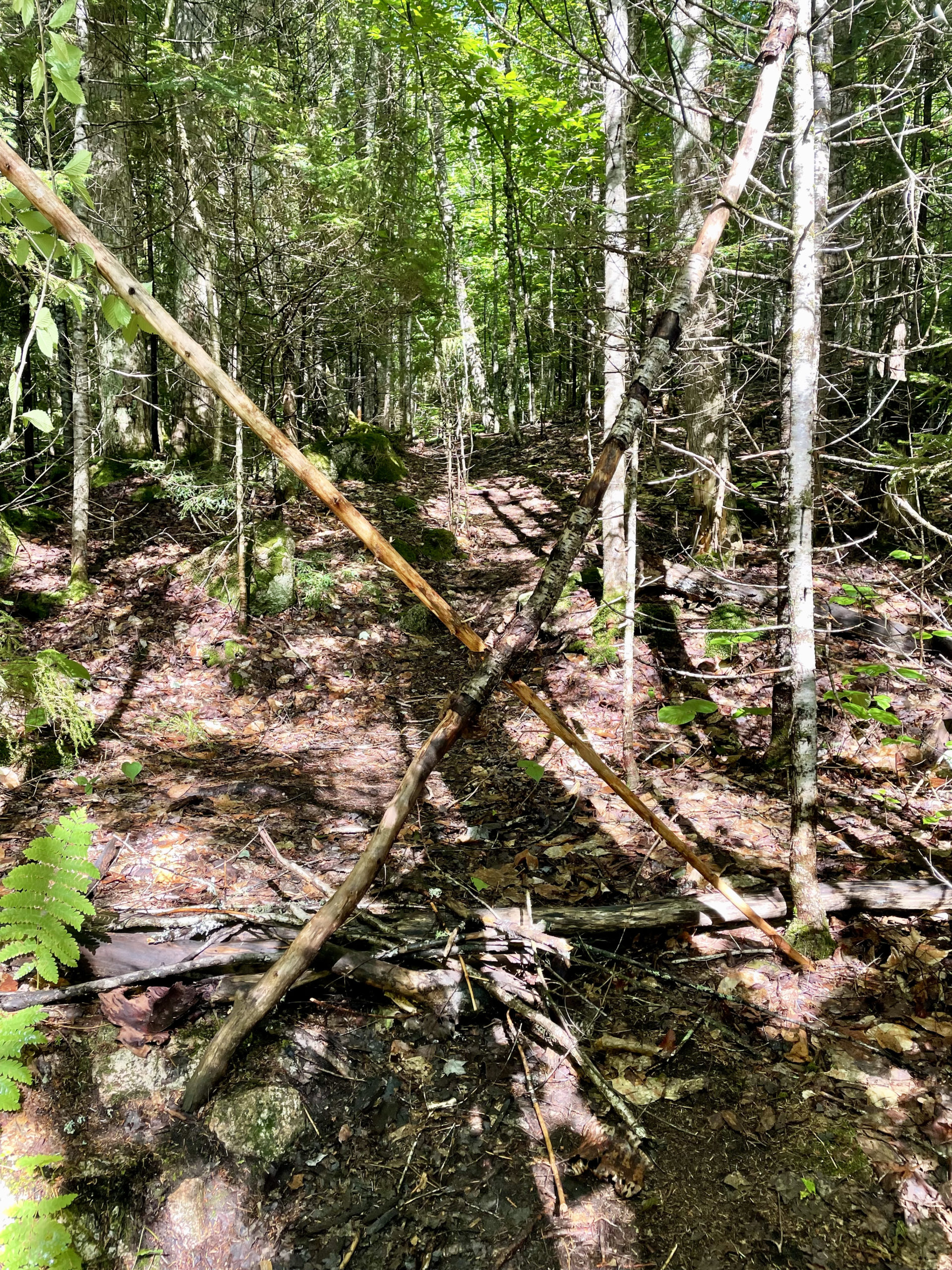
The first detour is a shortcut called the Black Pond Bushwhack, and it eliminates one mile of hiking (two if you take it both ways). It also avoids two major water crossings, both of which are considered difficult and dangerous at high water. The entrance to the bushwhack is marked by two large logs forming an X across the trail. Not exactly welcoming, but certainly easy to find. This bypass is regularly used and well known, so there is a path to follow. I did lose it once and had to consult my AllTrails map to bring me back on course, but finished the shortcut without much trouble.
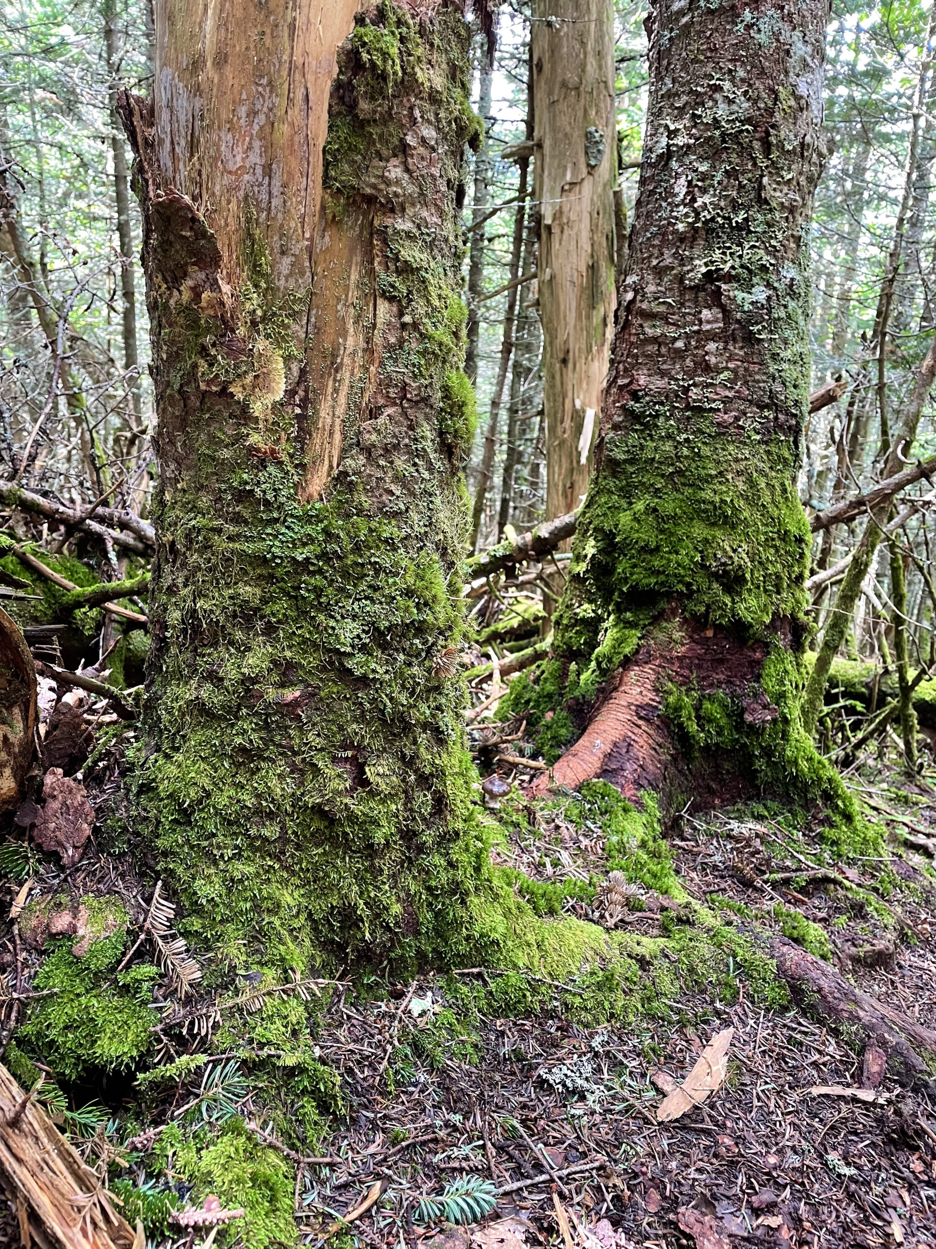
The bushwhack intersects Lincoln Brook Trail, which follows Lincoln Brook for many miles and crosses it multiple times. The footing is rough in places but the elevation remains mostly flat with occasional moderate inclines. This goes on for about three miles, until the entrance to Owl’s Head Path, marked on either side by small cairns. There is no trail sign. Owl’s Head Path is technically unofficial and unmaintained, and according to USFS regulations, marking unofficial paths in Wilderness Areas is prohibited. Because Owl’s Head is a necessary peak on the 4000 footers list, the path is well-traveled and easy to find if you’re looking for it.
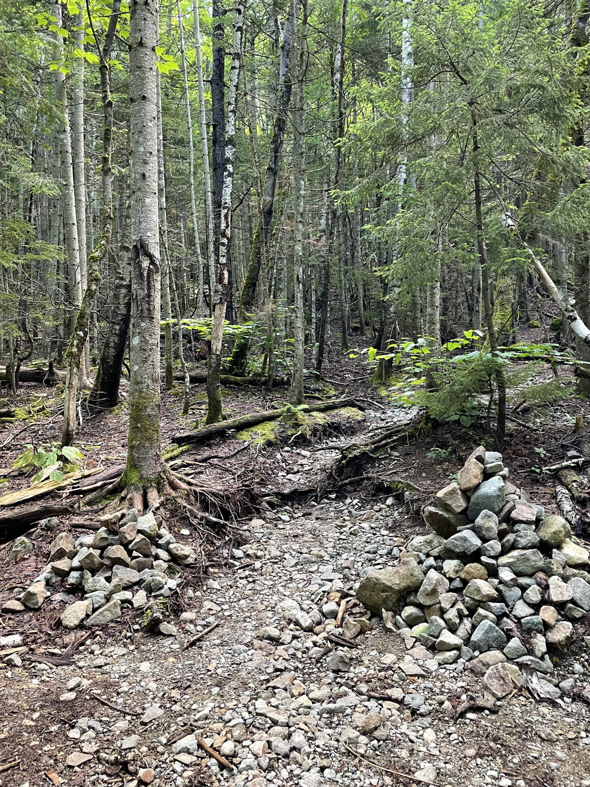
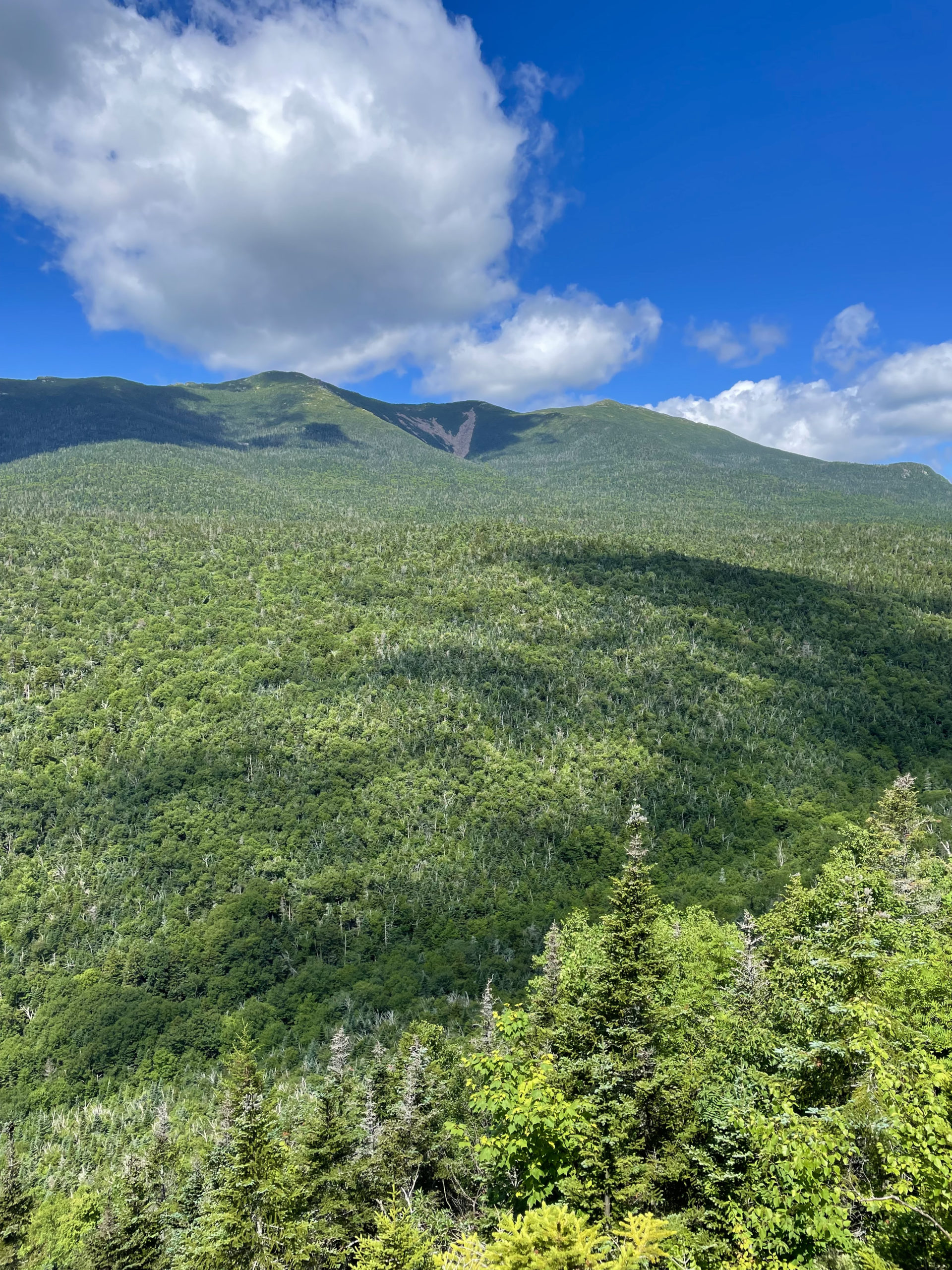
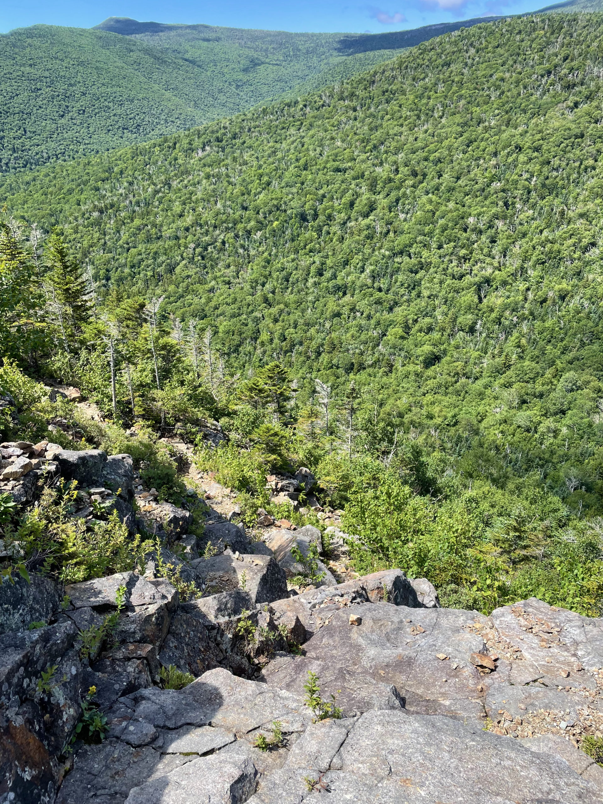
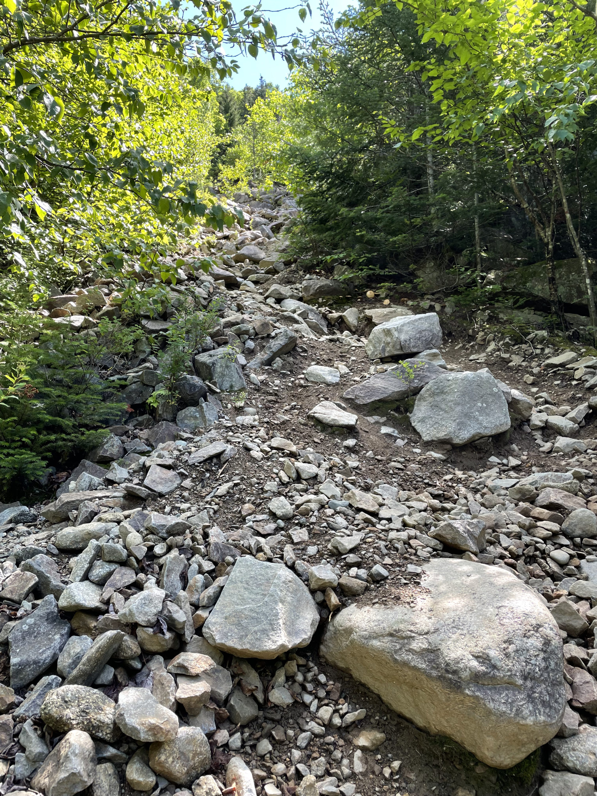
Owl’s Head Path ascends the slide on the west side of the mountain. At some points it is very steep and rough, and the footing is gravel and loose rock. After an initial climb through dense evergreens, the view opens up to Franconia Ridge. The rest of the ascent to the summit is a bit like the Wild West. There are multiple ways to reach it, some parts marked by cairns, others not, some paths leading to dead ends, others navigating blowdowns and ledges and erosion. Whichever route you choose, know that this final push to the top gains about 1500 feet of elevation in under a mile, not unlike the upper part of the Hancocks.
I had no trouble finding my way to the top (it’s very clear which way is up) and into the woods where the true summit is marked by a cairn.
While the AMC White Mountain Guide does cover this path in the book, the authors point out any cairns marking the trail are not reliable. They could be removed (per USFS regulations) at any point and without warning, so this is a good hike to take along back up navigation, like AllTrails or a Garmin.
On the way down, I opted to take the Brutus Bushwhack. This alternate route is highly recommended in the winter when the slide is very icy. The bushwhack was named after a Newfoundland dog named Brutus who was the first dog to complete the winter New Hampshire 4000 footers in 2004. The story goes, Brutus only balked at a few trails, and the Owl’s Head Path slide was one of them. Brutus found his own way up to the summit, and his route is now the most common way to ascend Owl’s Head in the winter.
I chose this route because I just didn’t feel like struggling down the slide again. And although it wasn’t as rough as the slide, Brutus wasn’t easy either. It is very steep coming down from the summit, and I realized after the fact there are actually two sections to this bushwhack. The first starts almost at the top of the peak. The second comes off the Owl’s Head Path at .6 miles, just before you would hit the slide on descent. From that point down, Brutus is definitely easier footing than the slide. It’s also worth noting that this isn’t a shortcut. The total distance is about the same whether you take the bushwhack or not.
The trip back was long and uneventful. I took the Black Pond Bushwhack again to avoid the river crossings and made it back to the Lincoln Woods Visitor Center in just over seven hours total hiking time. By the last mile (okay, maybe the last three) I was ready to be done. The final stretch on the Lincoln Woods Trail does feel like an eternity, but if you can get into a groove, you can burn up those miles pretty darn fast.
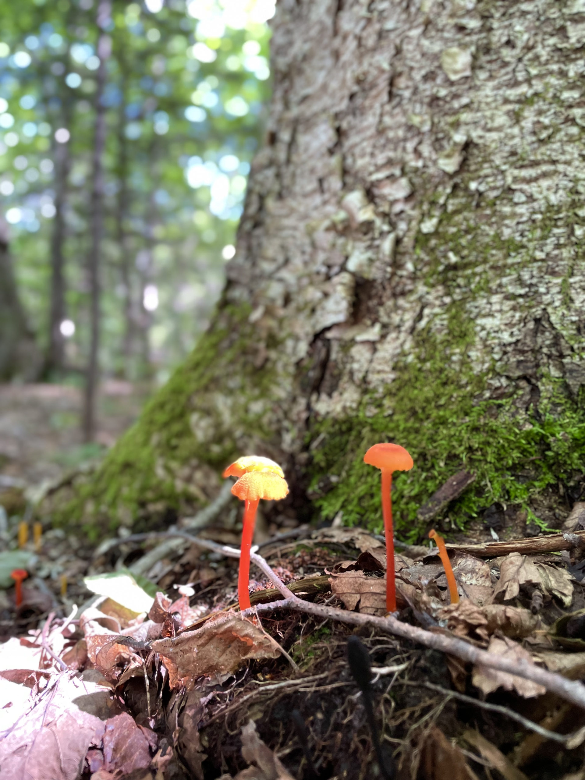
I stand by what I said: I will hike this one again, probably at a different time of year. Without the heavy summer exploring traffic, it’s one of the more remote trails I’ve been on. Almost the entire route runs along the edge of a brook, and I imagine in the winter it is very peaceful and winter wonderland-esque.
Summit lesson: It’s okay to take the bushwhack! Unless your goal is to stay on a specific trail, bushwhacks can be helpful and legitimate ways to avoid potentially dangerous sections of trail, especially tough river crossings. Just make sure you follow the path carefully!
Owl’s Head Path via Lincoln Brook Trail
| Total elevation: 4025 ft | Elevation gain: 2995 ft |
| Mileage: 17.2 miles (apx 15 using bushwhacks) | Alpine exposure: none |
| Terrain: woods walk, rough footing, rock slide | Challenges: long distance, steep slide, water crossings |
| View payoff: minimal views, wooded summit | Dogs: yes, use the Brutus Bushwhack |
Recap: Owl’s Head is a remote, lone peak in the western Pemigewasset Wilderness. It’s not a mountain most people would climb other than to complete the NH48. It takes at least fifteen miles round trip to knock this one off the list. That said, thirteen of those miles are easy-to-moderately challenging woods walking. The final mile climb to the summit is very challenging and ascends an unofficial (but well-traveled) rock slide. When you’re ready to tackle Owl’s Head, plan on a long day with numerous water encounters and some rough footing. Consider taking the two available bushwhacks to make things a little easier on yourself. Other than that, hit your stride, take deep breaths, and enjoy the (long) journey.
No Comments