Laura Cowles to Sunset Ridge Loop
Mt. Mansfield 4393 ft
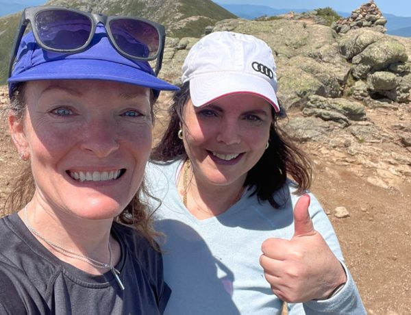
I saved (arguably) the best of Vermont for last. Mt. Mansfield is the highest peak in the state, and it has several secondary peaks that form a ridge line. The summits are all named as facial parts (Chin, Nose, Eyebrow, etc) because some say the ridge line of Mansfield looks like a face, particularly when viewed from the east. I would love to hike the whole ridge via the Long Trail another time, but on this day, I was after one thing: the highest summit.
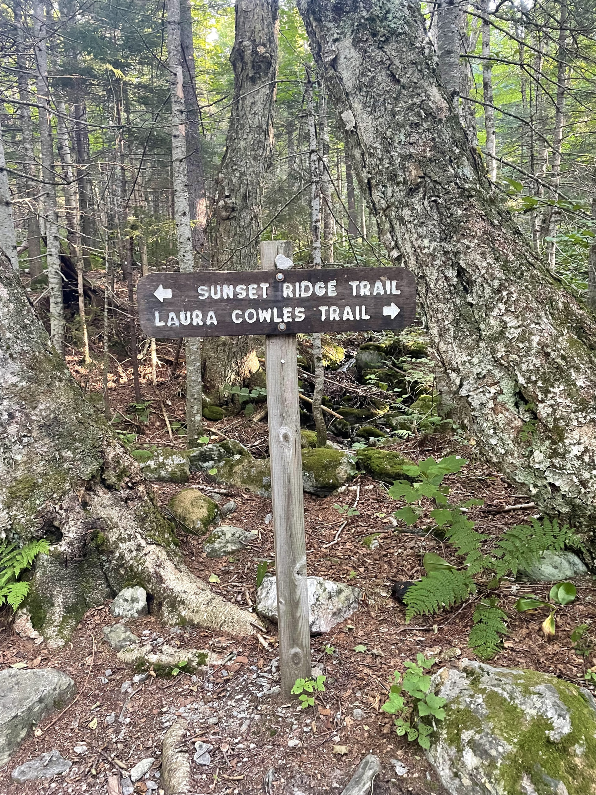
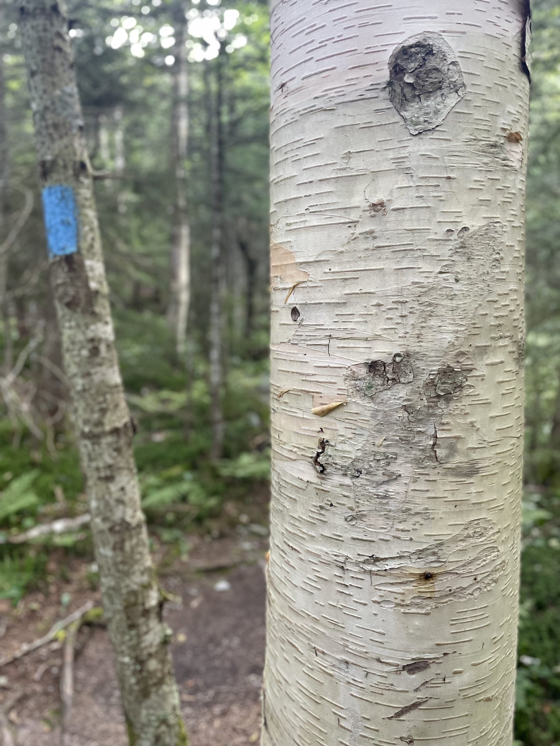
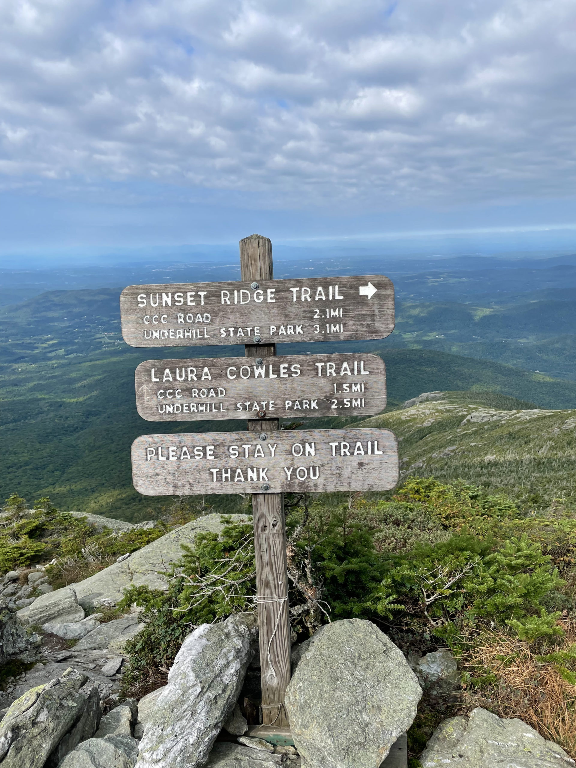
I woke up at Underhill State Park after another night of little sleep. The good news was that I didn’t have to drive anywhere. The trailhead for the route I was taking up Mt Mansfield was across the road from where I was camped, and it began on a dirt road (CCC Road). After about a half mile, I picked up Laura Cowles Trail. The (little) research I’d done told me this was a very steep, very rough option, but it was also the most direct. It would get me to the summit quickly. I would come down Sunset Ridge Trail, which was a bit longer but said to have exceptional views.
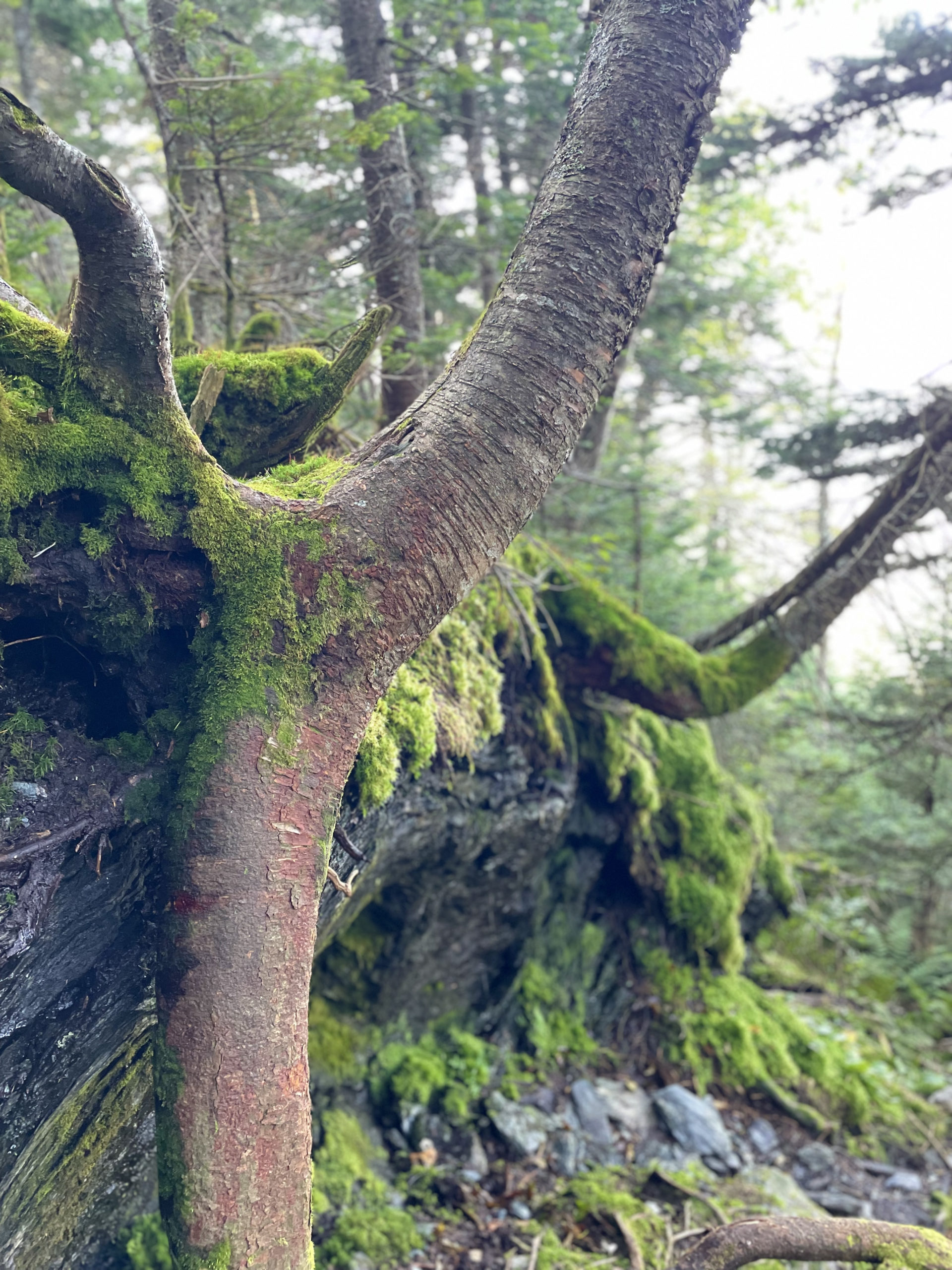
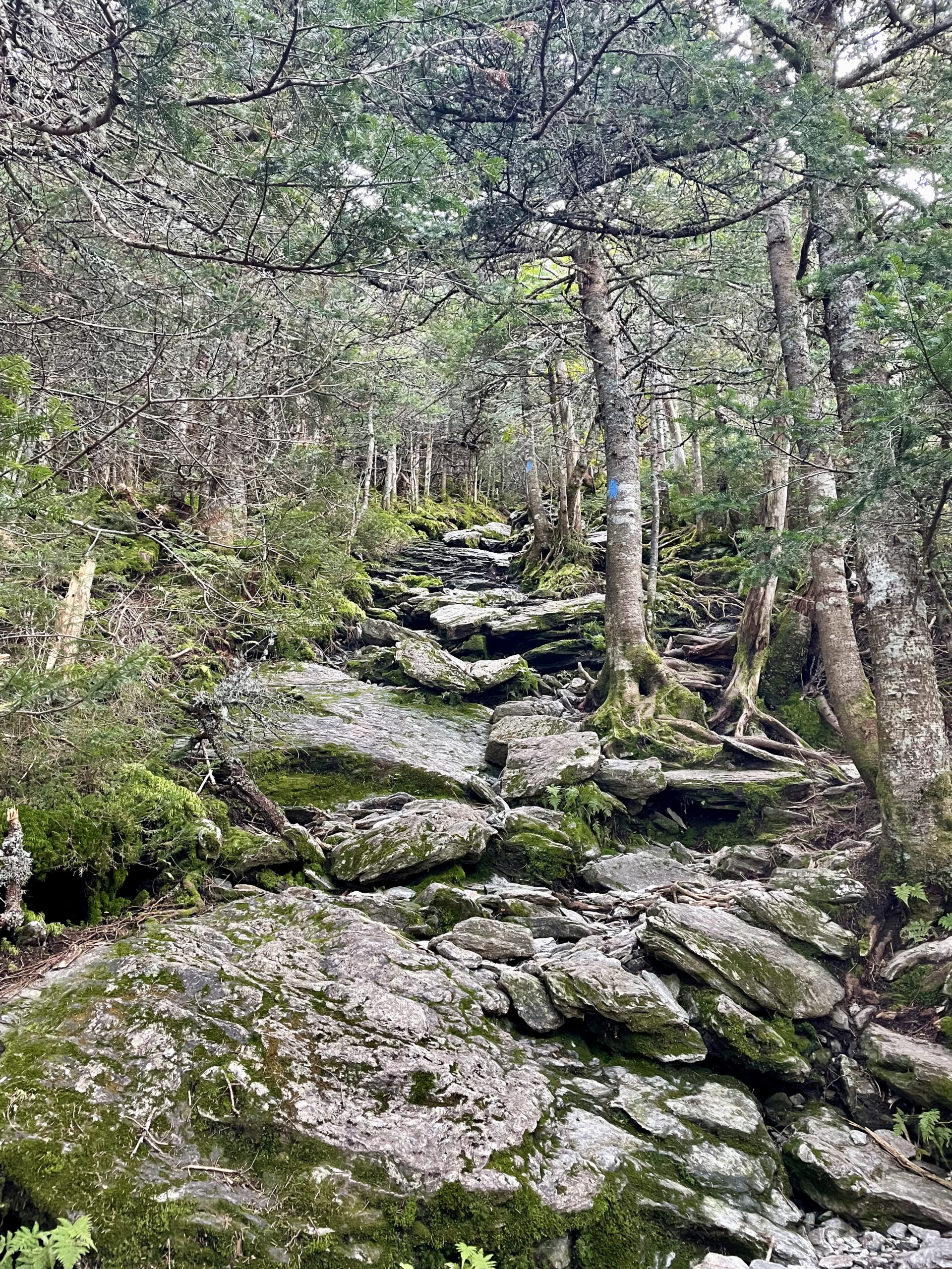
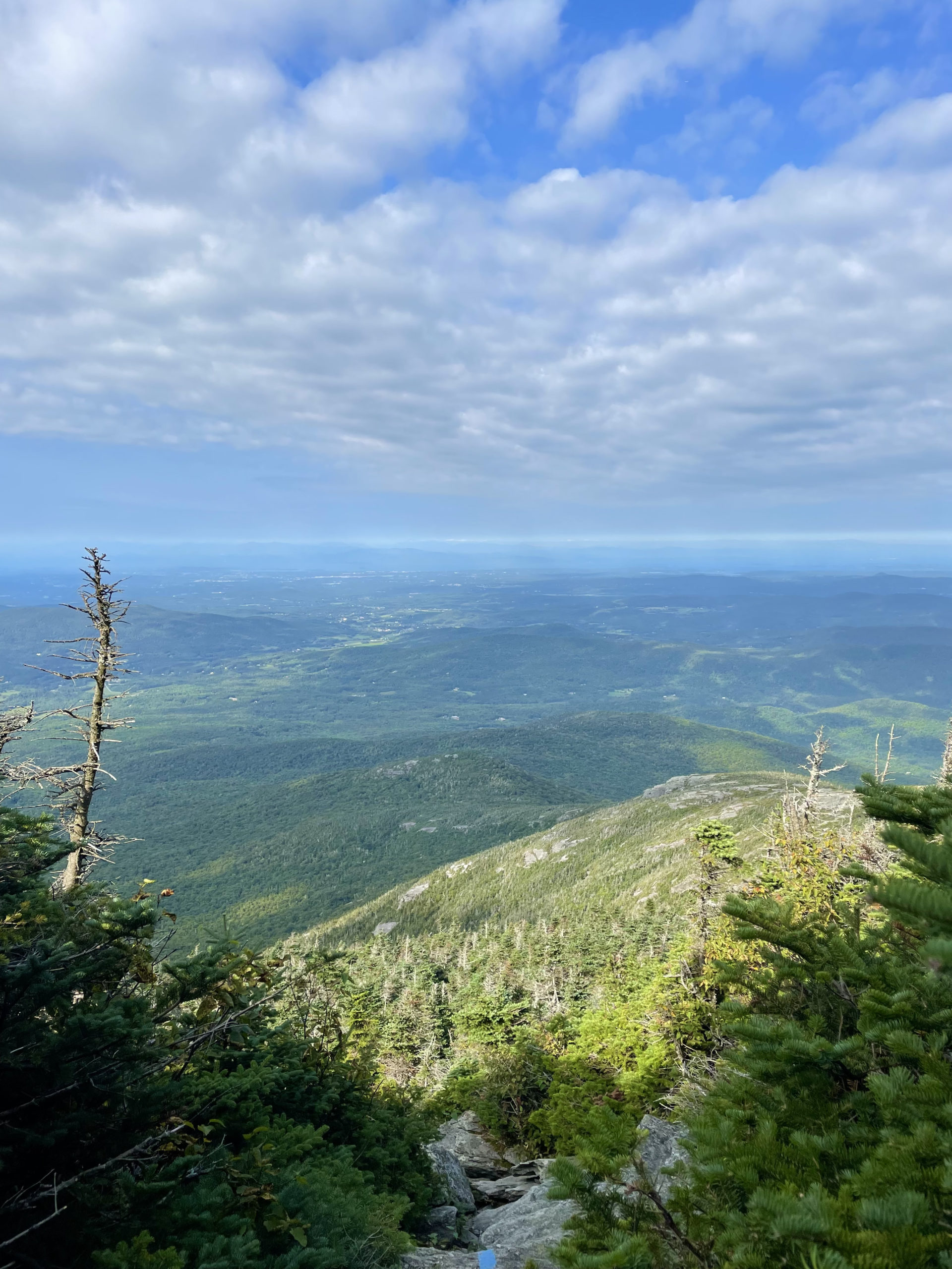
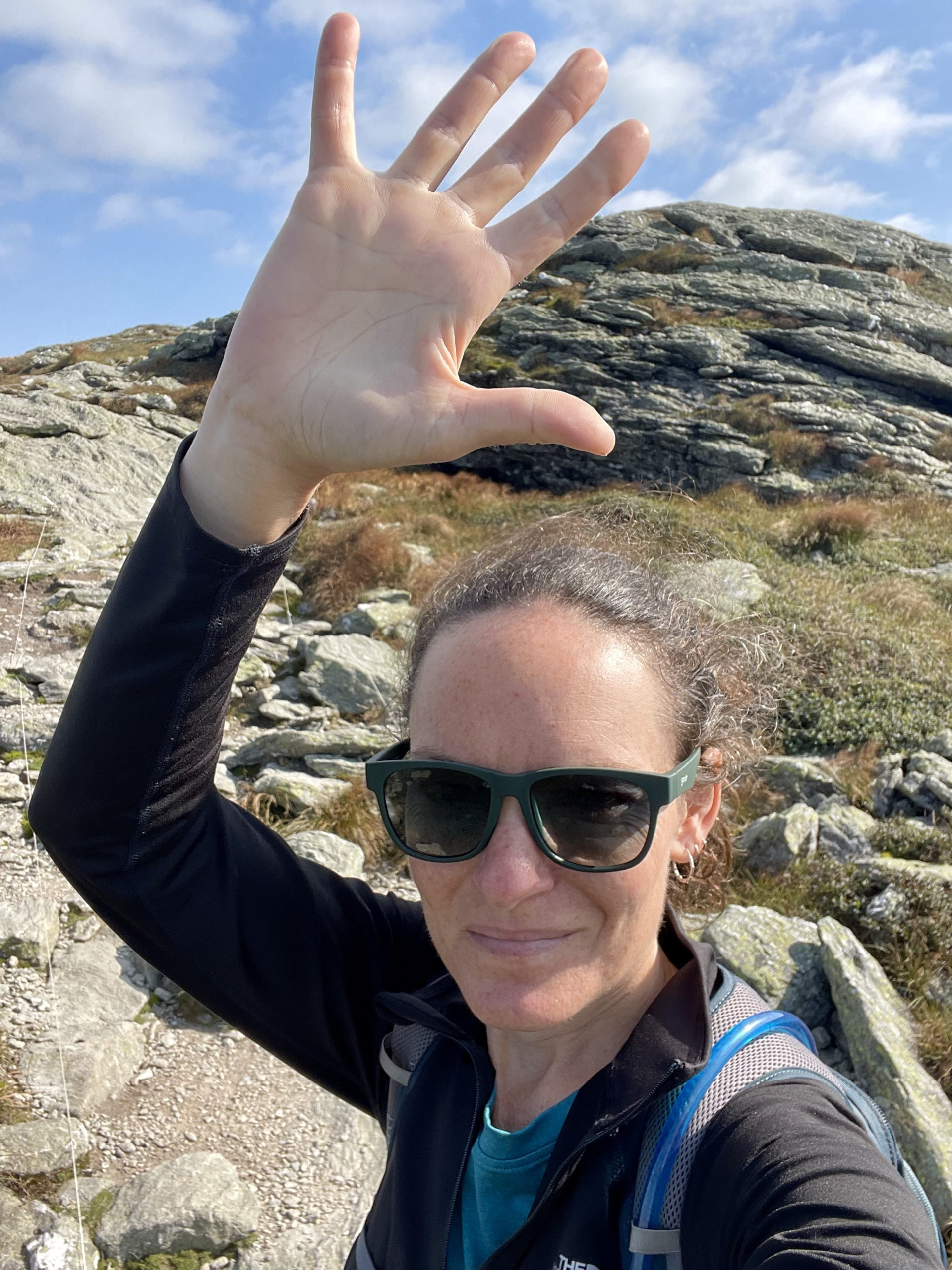
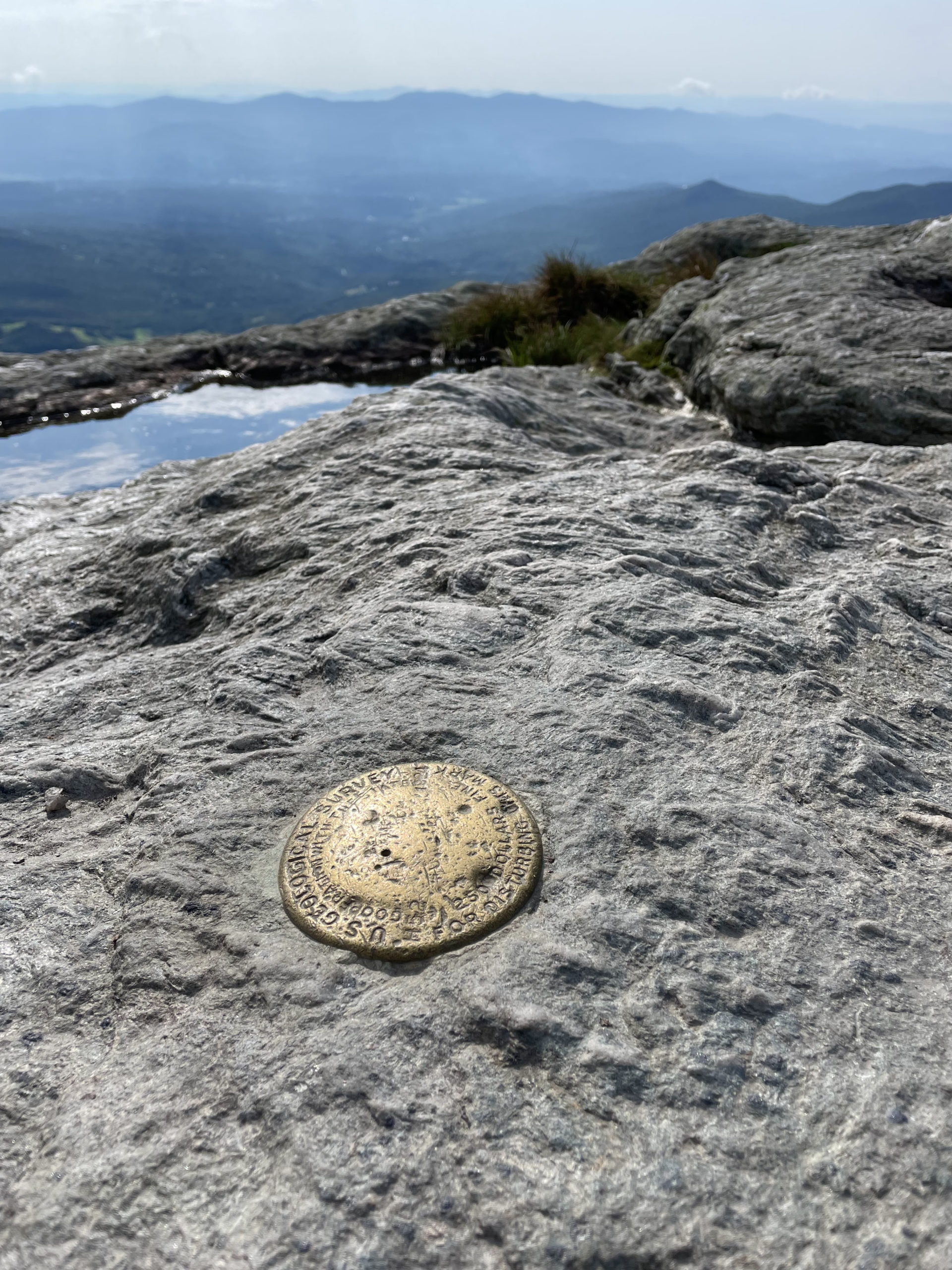
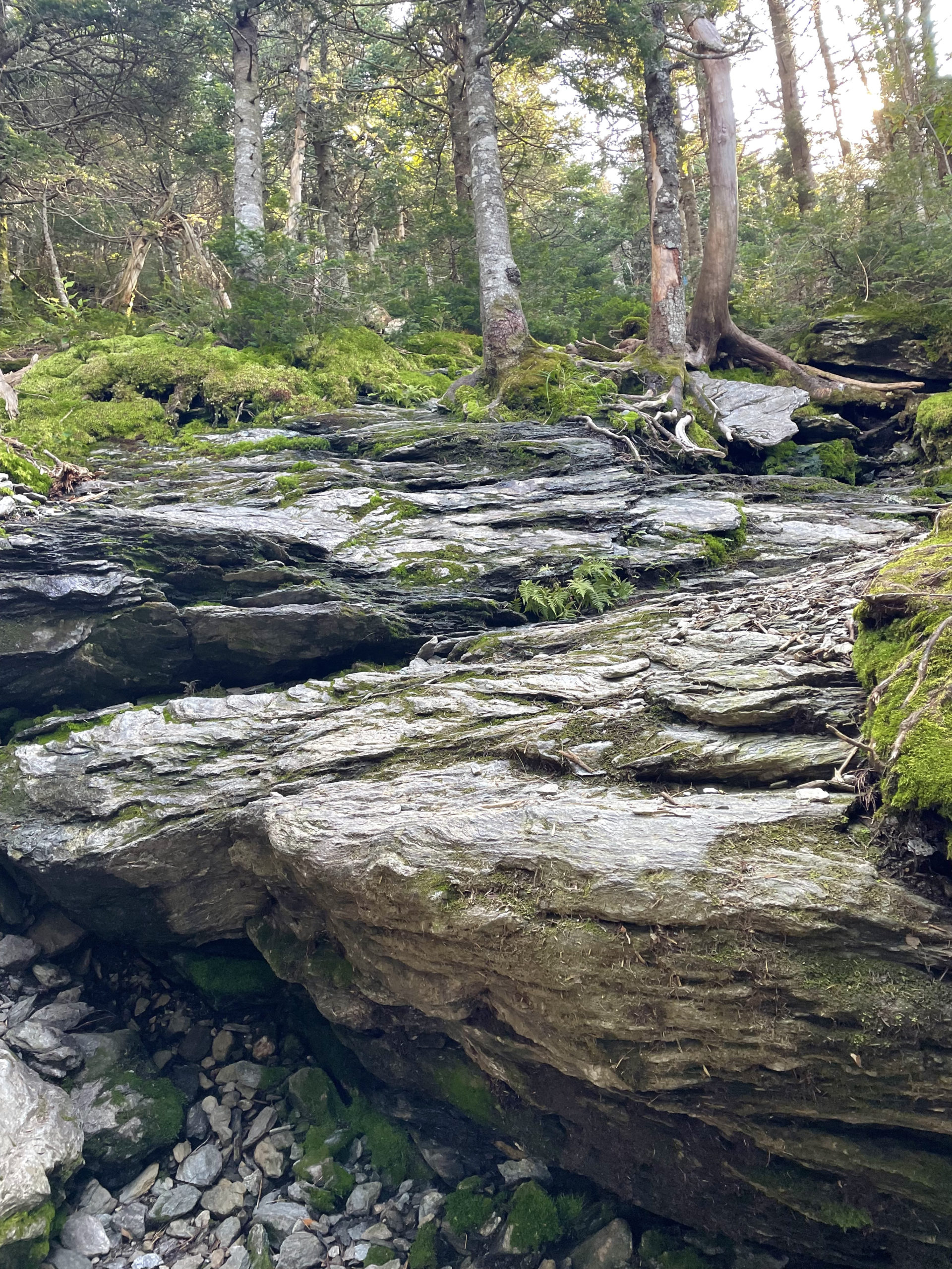
The research was correct Laura Cowles is basically a steep stream bed the whole way up, with a few scrambles thrown in. But it is direct; just shy of a mile to the summit. The top of Mt. Mansfield is fully exposed, very rocky, and really beautiful. At the highest point, the peak called The Chin, there is a panoramic view of the Green Mountains.
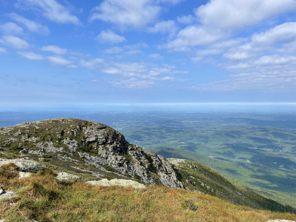
There is a difference, though, between the view from the highest Green and the highest White. From the top of Mt. Mansfield, there were mountains in every direction, but there were also houses. Roads. Cleared fields. Signs of humans. From the top of Mt. Washington (and many of the other NH 4000 footers), the only thing to see is wilderness. Maybe one snaking road, probably Rt 302 or Rt 16, but rarely any signs of prolific habitation.
The Whites feel like the wild. The Greens feel like a slice of wild surrounded by people.
Having spent a lot of time in Northern Vermont, I know it is a very wild state. Lots of land and woods and beautiful green space. It is interesting, though, that the tallest peaks happen to be in areas that are relatively populated.
After summiting Mt. Mansfield, I headed down Sunset Ridge Trail. There are beautiful views from this trail, and while it’s still steep, it’s less intense than Laura Cowles Trail. It is far more exposed, so not a great choice in bad weather.
Near the end of the descent, I ran into a woman I recognized from the Underhill State Park Campground. She had been there the night of the gunshots.
“I’m so glad I ran into you!” she said. “I found out what the shots were.”
Of course I wanted to know. “What?”
“The shriek was a fisher cat,” she said. “And someone shot it.”
It was unclear who ‘someone’ was, but that was enough information for me. I’d heard a fisher cat before, and they do have the ability to shriek just like humans. Finally, a story that made sense.
I finished the trail down Mt. Mansfield feeling accomplished and relieved. The VT 5 was in the bag. Next week, it was off to the 100 Mile Wilderness.
Laura Cowles to Sunset Ridge Loop
| Total elevation: 4393 ft | Elevation gain: 2555 ft |
| Mileage: 4.5 miles | Alpine exposure: extensive |
| Terrain: woods walk, rocks, ledge, scrambling | Challenges: very steep, exposure |
| View payoff: outstanding | Dogs: yes |
Recap: Mt. Mansfield is the highest peak in Vermont. Like the other four 4000 footers in the state, it can be accessed via the Long Trail. There are multiple other trails to reach the multi-peak summit ridge, including a route that leaves from Underhill State Park. For the fastest way up, take Laura Coweles. Sunset RIdge is a more gradual choice for descent and offers unobstructed views along the way. The summit of Mansfield is a wide open, rocky, scrubby alpine zone with views of the surrounding mountains and the Stowe Mountain Resort ski slopes and valley to the east. Although this loop is challenging, the distance makes it manageable with enough time.
No Comments