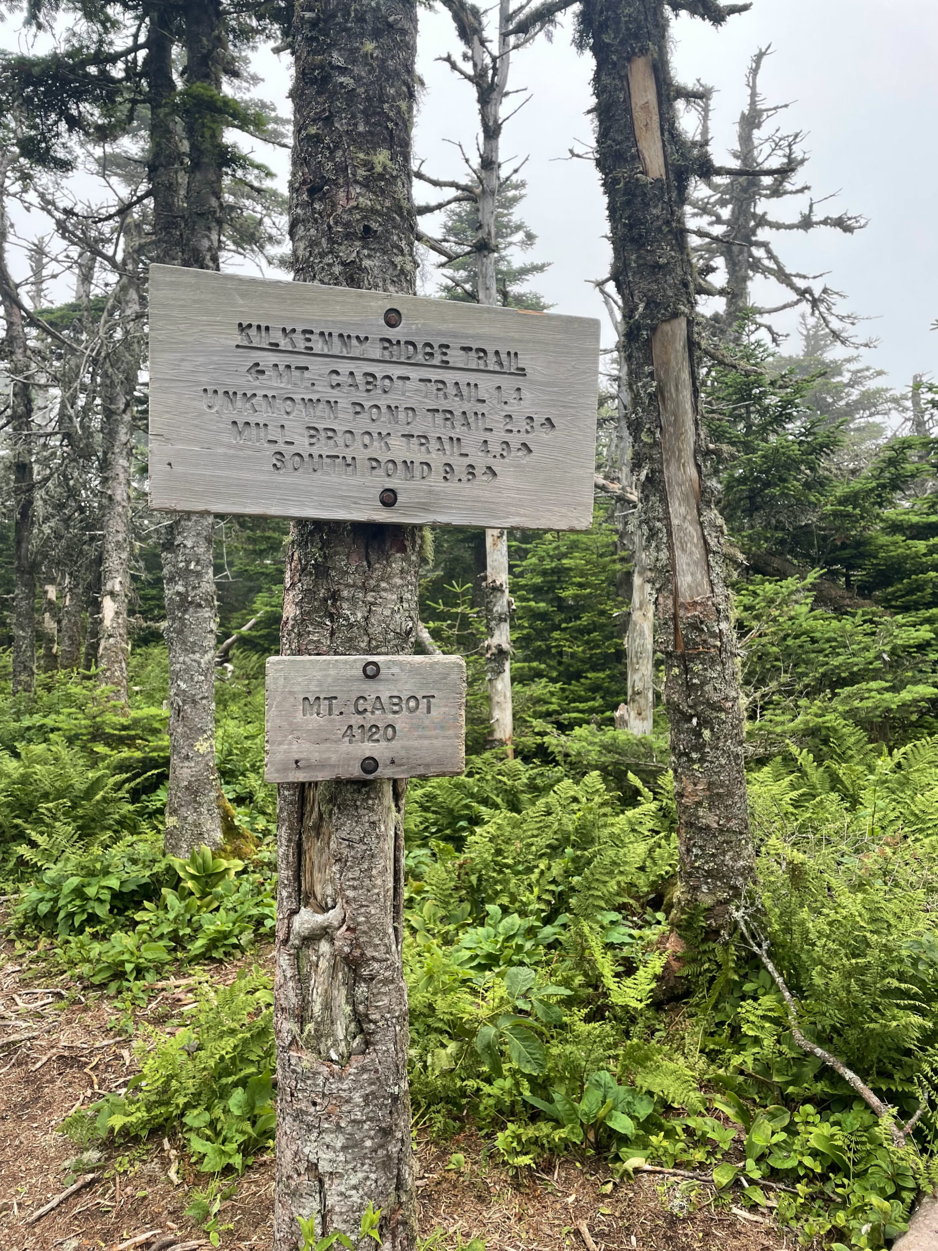
Kilkenny Ridge Trail
Mt. Waumbek 4006 ft | Mt. Cabot 4170 ft
Most of New Hampshire’s 4000 foot peaks are within an hour and a half drive of each other, once you’re in the National Forest. The relatively close proximity of the peaks and their trailheads allow hikers to embark on multi-summit and multi-day treks without traveling too far. The hikes themselves may not be easy, but they are easily accessible.
Mt. Cabot is a bit of an outlier. Still within the White Mountain National Forest, there is no simple way to get there. What used to be the most direct path (via Mt Cabot Trail) is now partially closed due to a private land ownership dispute. There are several ways to reach the summit off the York Pond Road, which passes the Berlin Fish Hatchery, or by the Mill Brook Road from the north (technically the shortest hike but closed during the winter and a long drive from anywhere south of the Whites).
The longest option is to start off Route 2 near Jefferson and take the Kilkenny Ridge Trail, which runs the entire length of the Pilot-Pliny Mountain Range. This route also hits Mt. Waumbek, one of the smallest 4000 footers, but a 4000 footer nonetheless.
Of course, this is the trail I chose. It’s a ridge, I thought. How hard could it be?
Ha!
I planned to take Starr King Trail to Mt. Waumbek and Kilkenny Ridge Trail to Mt. Cabot, a 14.6 mile journey. Cabot Cabin is located near the summit of Mt. Cabot and open for overnight campers (free and unstaffed). That was my backup plan. My goal was to continue on past the summit to reach Unknown Pond Tentsite, another 2.8 miles, and camp for the night. That would bring the day’s mileage to 17.4, the most I’d ever done. I figured it would be good practice for the long days I’d be logging when I hiked the 100 Mile Wilderness.
What I failed to really consider, beyond the calculation of mileage, is that there are seven (SEVEN!) additional summits between Waumbek and Cabot, all over 3600 feet (four of them are over 3900 feet).
Off I went, blissfully unaware of the elevation that lay ahead.
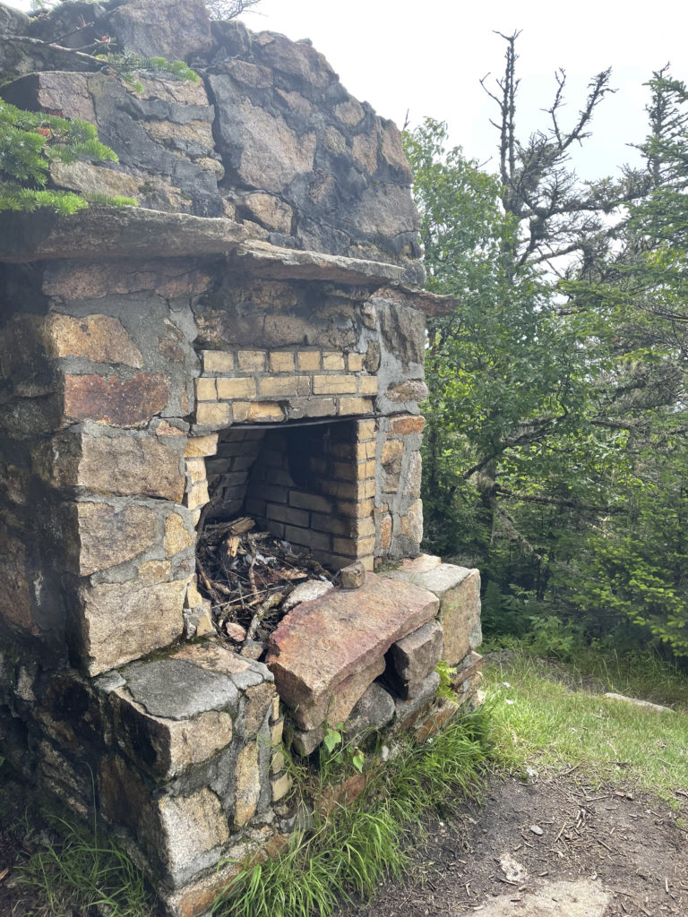
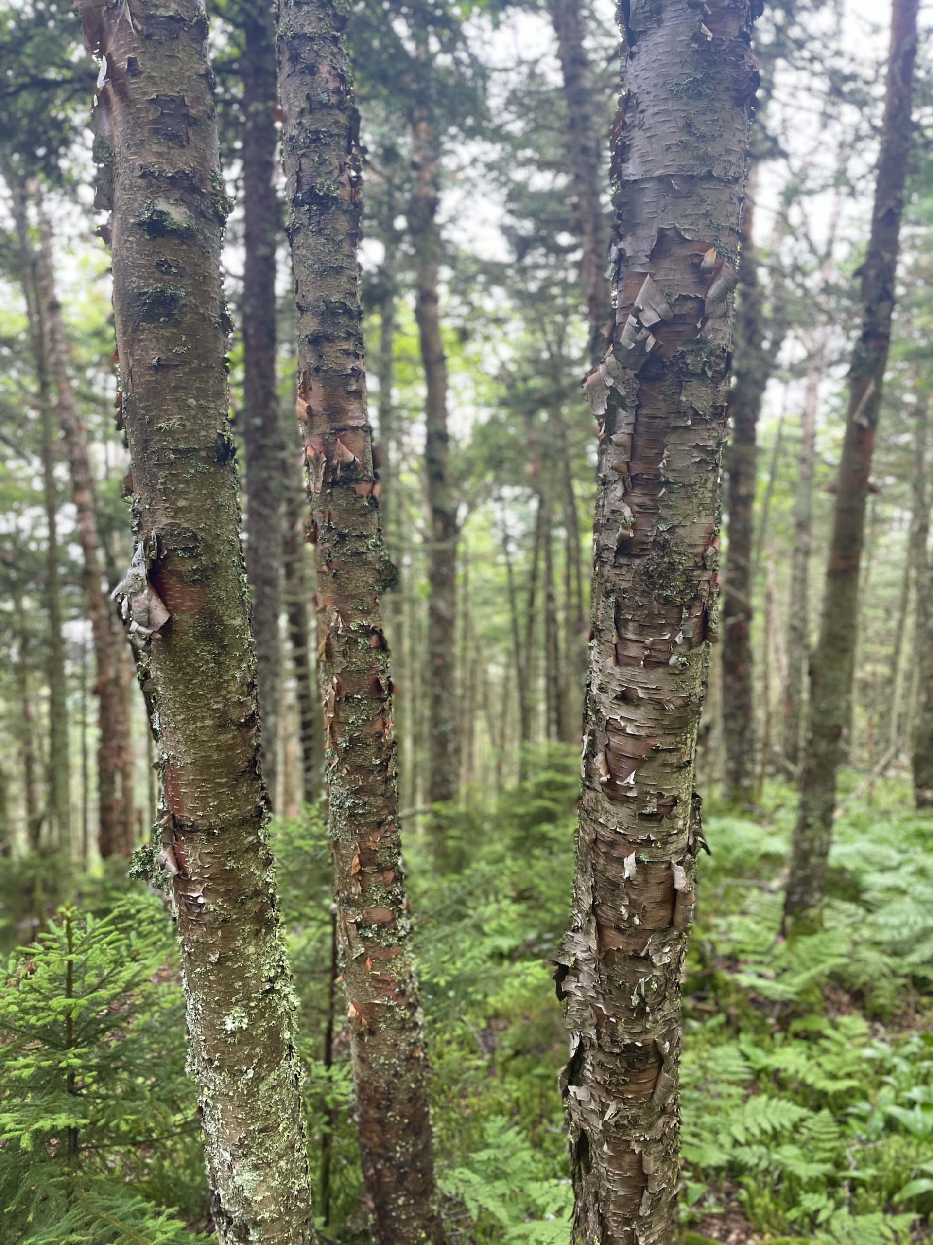
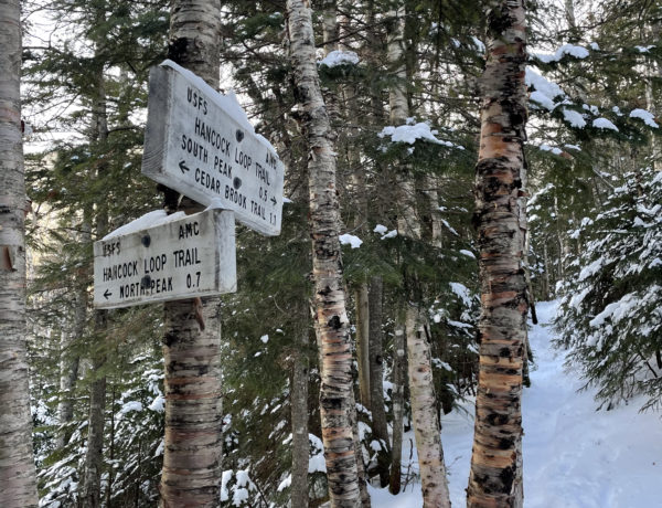
Starr King Trail starts at the end of a short, potholed, gravel road that provides access to several large homes. Just beyond the houses there is a parking lot for the trailhead. For two and half miles the trail ascends gradually though hardwood and pine forests before reaching the summit of Mt. Star King (3907 ft). Just past the summit there is an old fireplace, a remnant of a former cabin, and a view of the Presidential Range to the south. The trail dips slightly into the col before rising moderately to the wooded Mt. Waumbek summit.
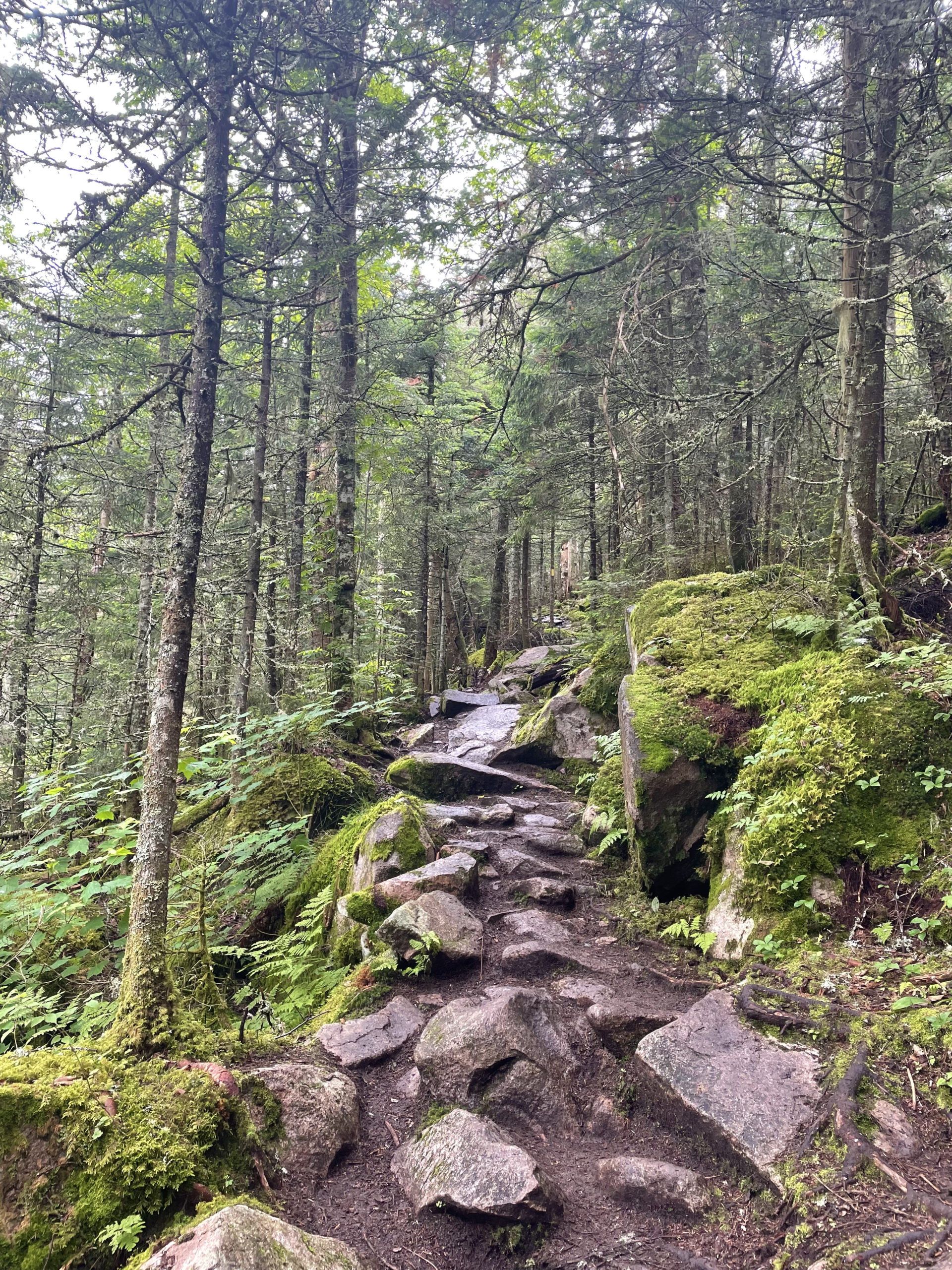
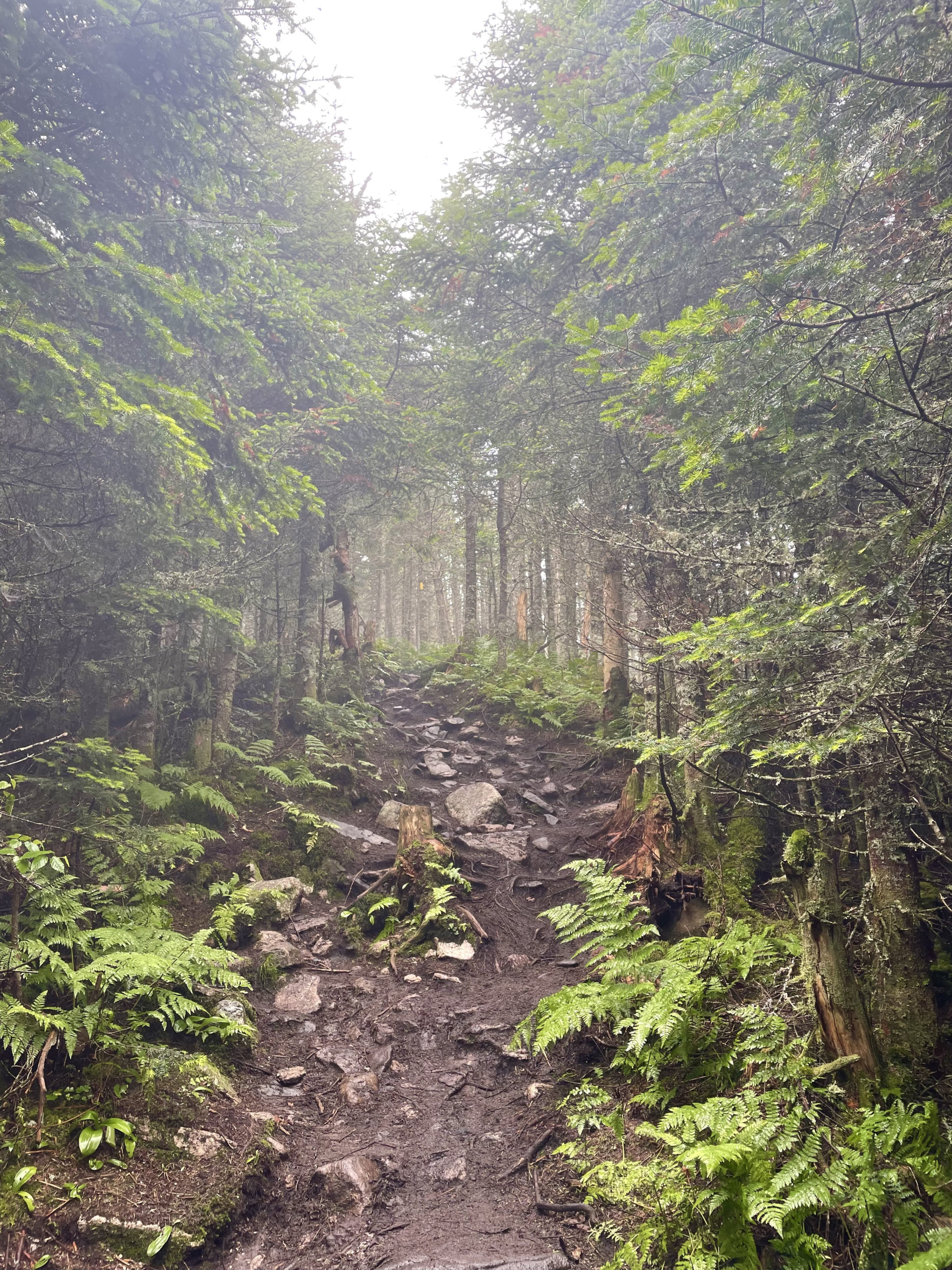
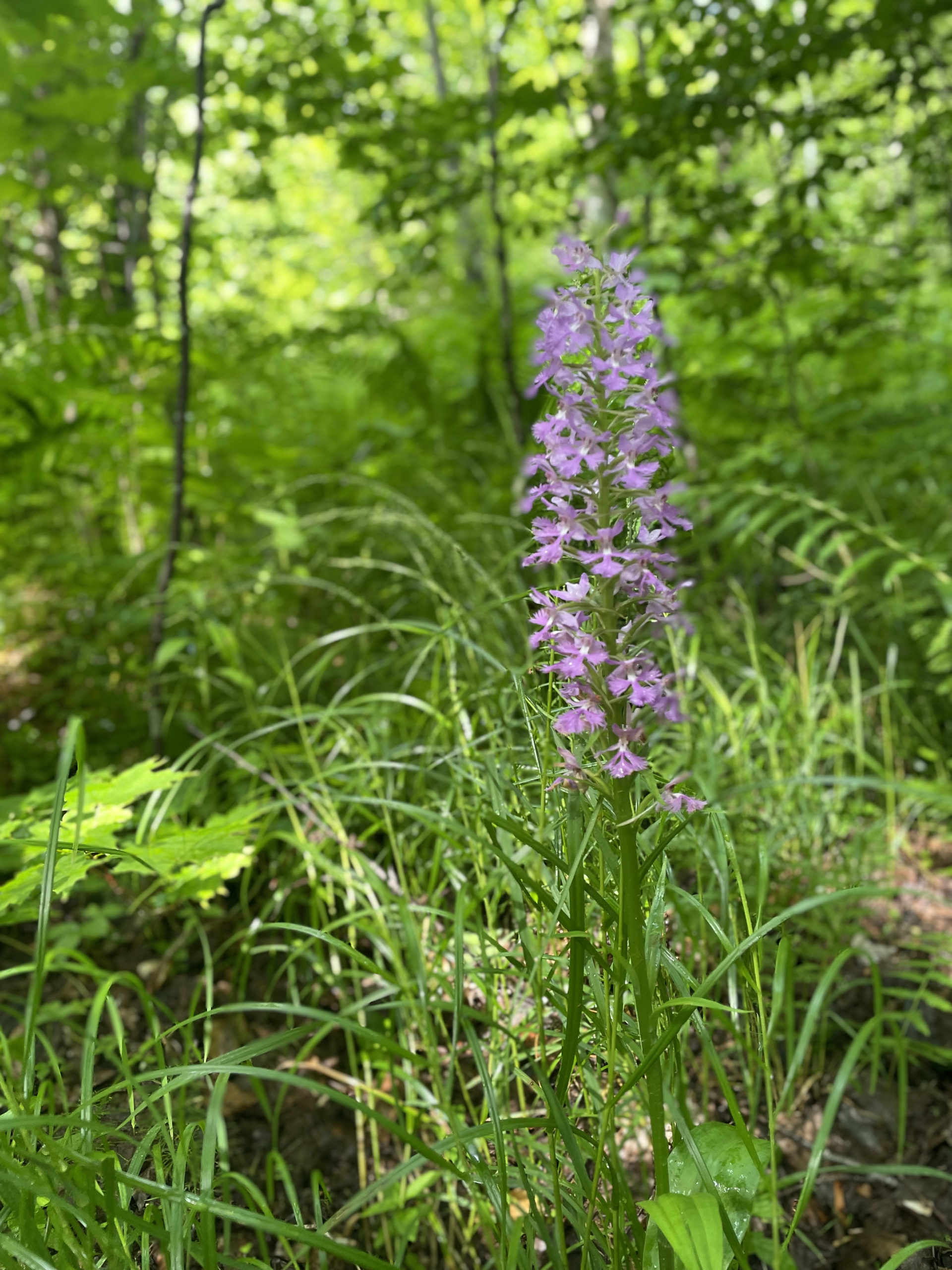
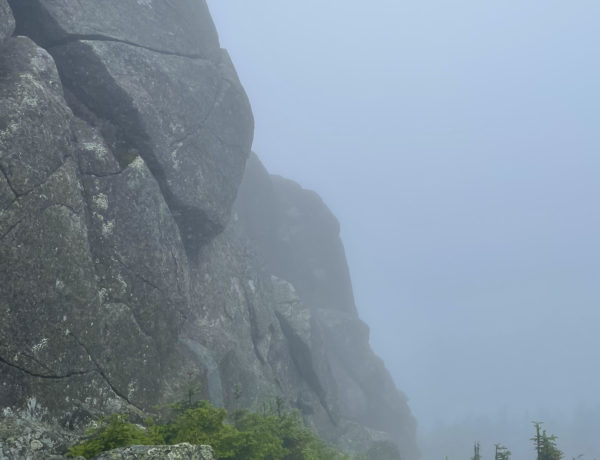
Kilkenny Ridge Trail begins (or ends, depending on your direction) at the Waumbek summit. The next six miles travel over the three peaks of Mt. Weeks (North, Middle, and South). The ascents and descents are moderate but long, often utilizing switchbacks. The trail is narrow, and at the time, it was dense with ferns. I’ve never seen that many ferns in one place. They were so thick in places I couldn’t see the ground as I walked, and they were wet, so everything thigh-height or lower got damp.
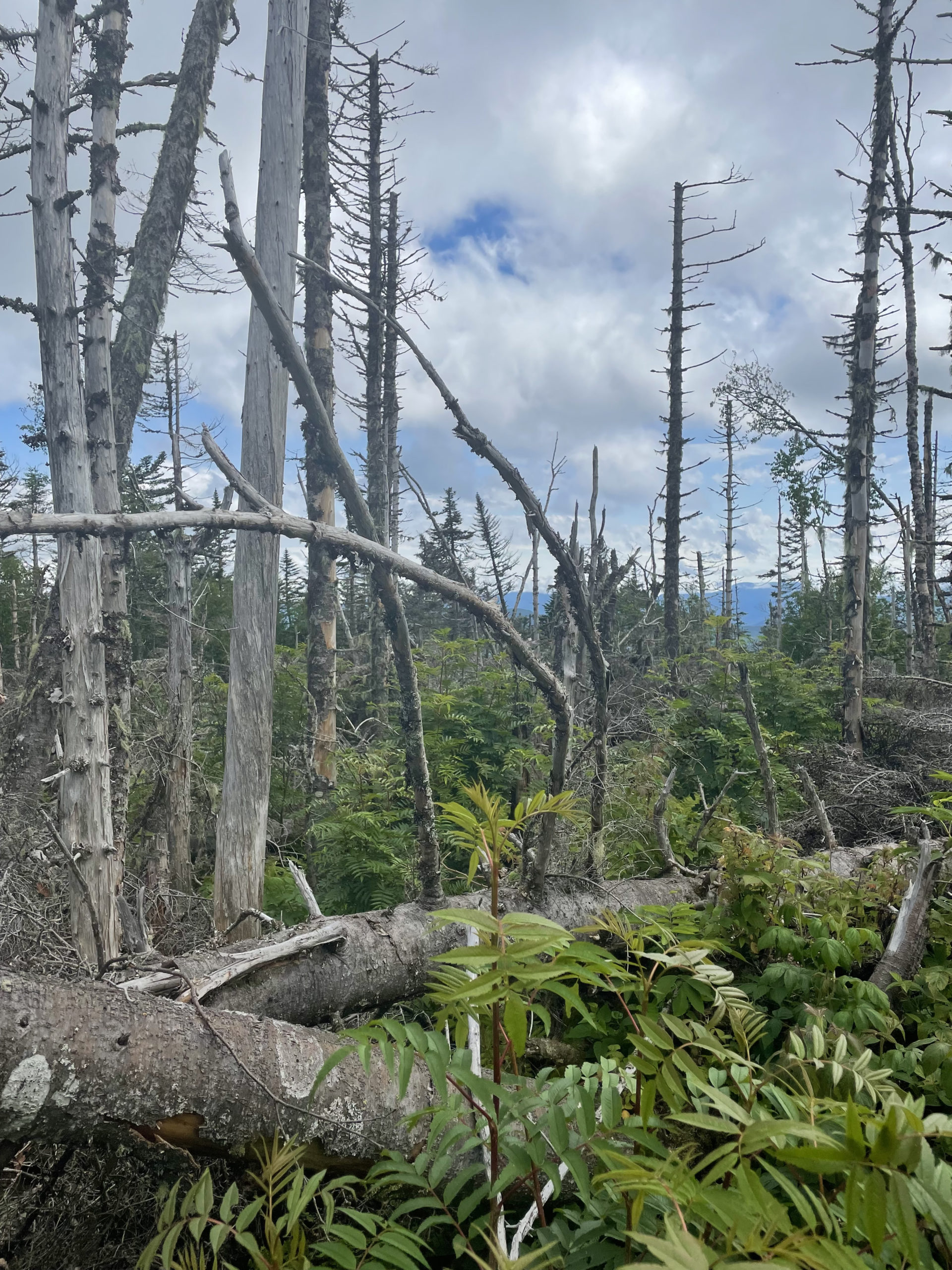
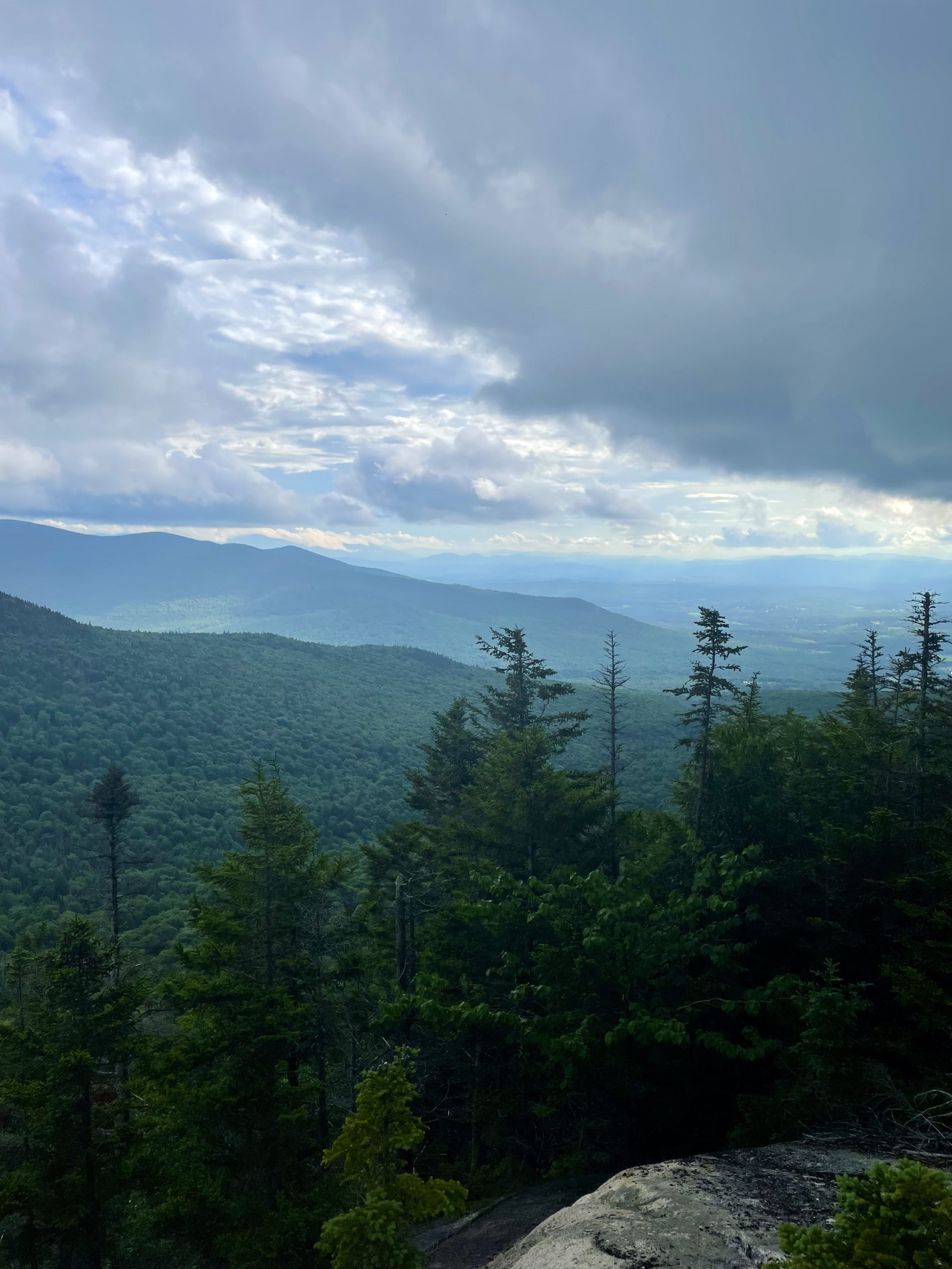
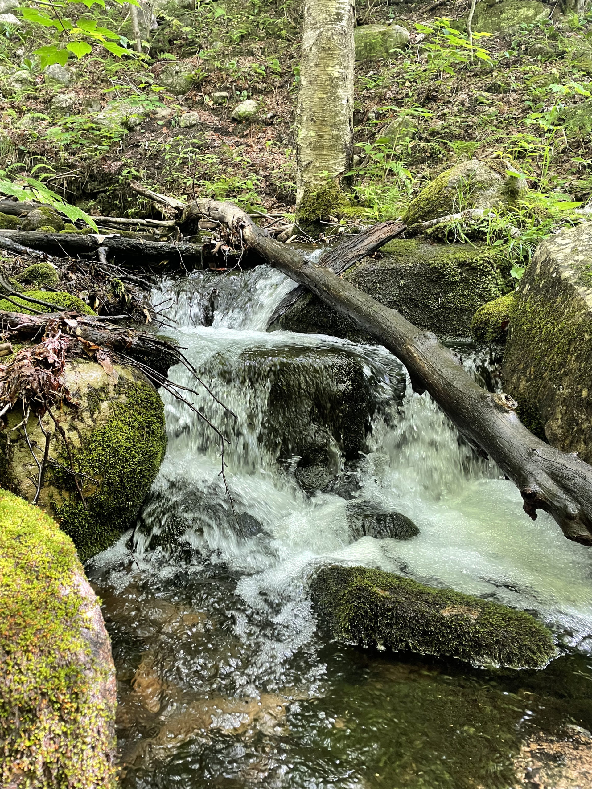
There are some nice views from clearings along the Mt. Weeks ridge before a lengthy, winding descent into Willard Notch. After crossing a small brook, the footing becomes rougher as it begins to climb Terrace Mtn. At this point I thought Terrace was the last major climb before I started the ascent to Mt. Cabot (still over 3 miles away). What the map didn’t tell me was that Terrace has three separate peaks, bringing the number of additional summits on this trip to nine (NINE!). Only the south peak of Terrace is labeled, but if you look closely at the elevation lines, you’ll see evidence of the north and middle peaks. And when you’re on the trail, you sure will feel evidence as you climb significantly up and down them. After the Terraces, the trail crosses Bunnell Notch Trail and begins the uphill battle to Mt. Cabot.
At this point I was tired. Tired of going up and down and up again. Tired of ferns. And it was almost 4:30pm. Mt. Cabot was still two miles away, and it would take me an hour if I pushed myself (it was all uphill at that point). Although I wasn’t ready to admit it, I was pretty sure I’d be sleeping at the Cabot Cabin that night, even though the Unknown Pond Tentsite was much more appealing. Either way, I had to get to the cabin before I made a final decision.
Trudge on.
Here’s what I love about this kind of hike: there is nothing to do but continue. The first time I experienced this reality was when I hiked the Carters, and it was a profound moment. There is a moment in some hikes when you hit the point of no bailouts. Now, were I dangerously exhausted, dehydrated, or facing foul weather, the right choice would have been to hunker down where I was. I had all the gear I needed for an overnight. But I knew I had it in me to keep going, to push myself and challenge my comfort zone.
I looked at my hiking partner, who was also suffering, and said, “I gotta go.” I knew if I tried to pace myself in order to remain part of a group it would make the remaining distance substantially harder for me. I had to find my groove and burn. We decided if I wasn’t waiting at Cabot Cabin it meant I’d gone on to the tensite. I ate some sugar, drank a lot of water, put my head down, and plowed up that mountain.
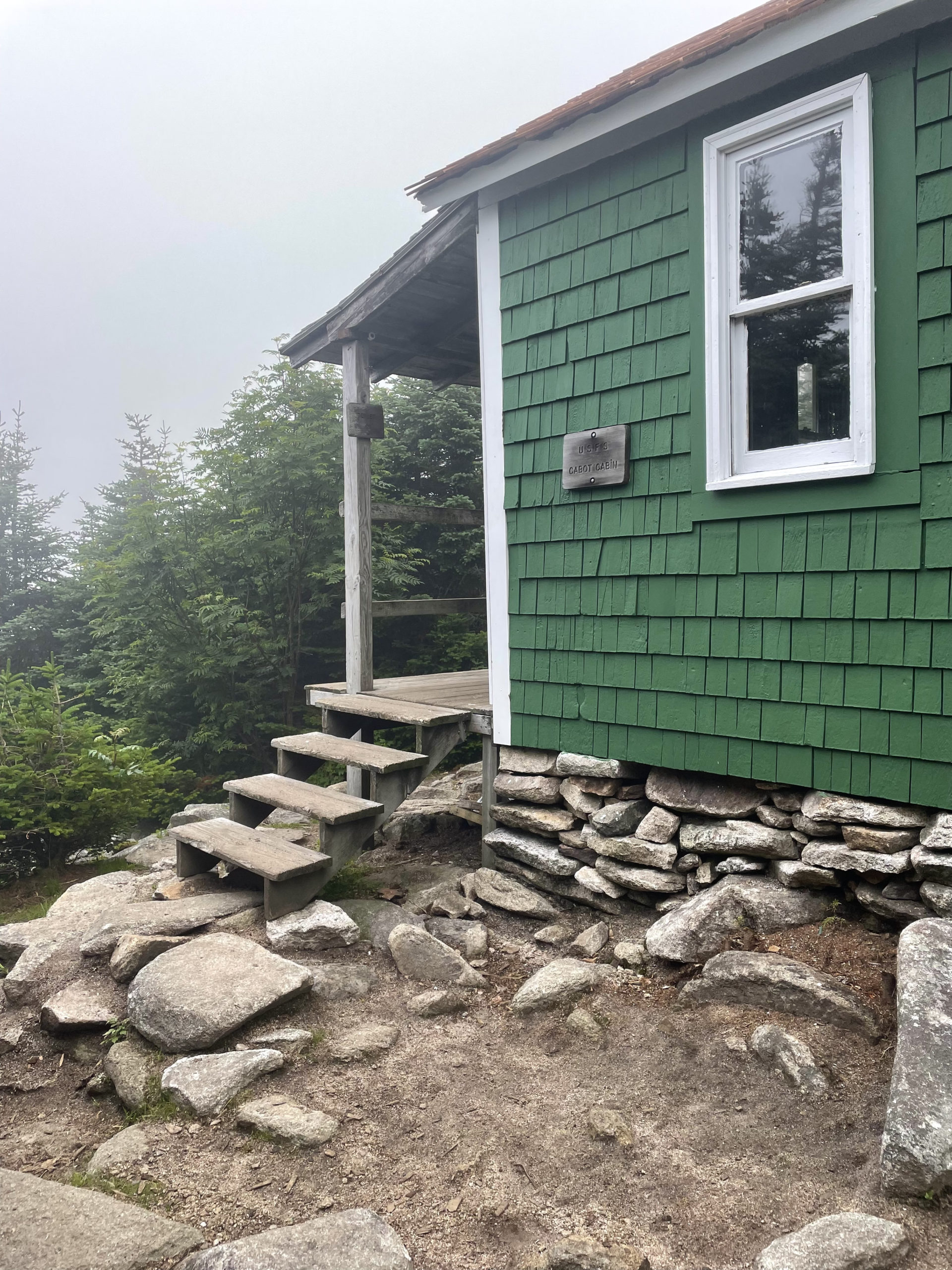
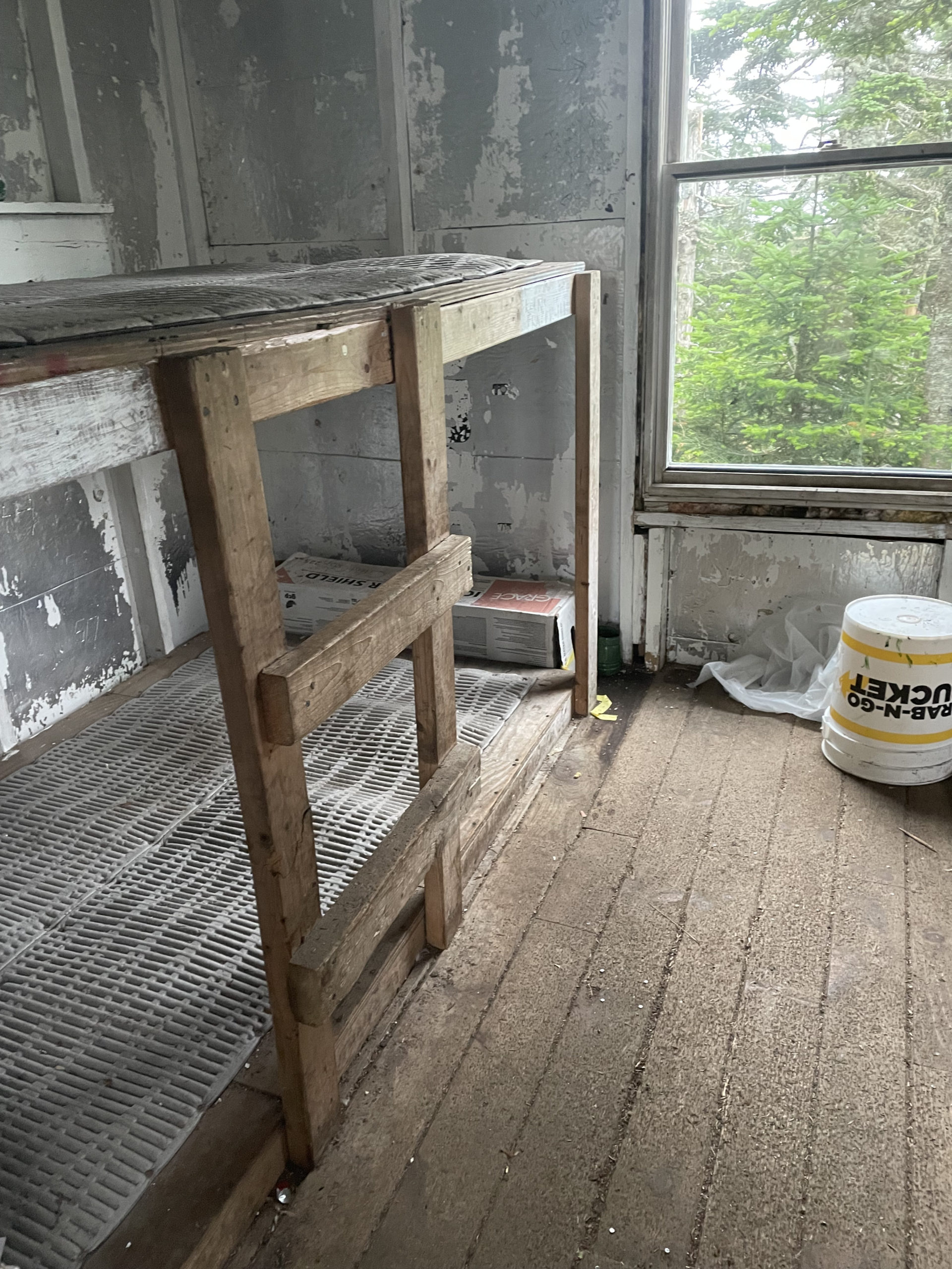
It took me an hour to reach the cabin. Upon investigation, continuing on to the tentsite was an easy choice. That’s no knock on Cabot Cabin. In bad weather or under extreme fatigue or injury it would be like a wilderness Ritz Carlton. But it’s in rough shape. As of early 2021, HistoriCorps were looking for volunteers to rehab the cabin through their mission to save significant historic places, but it’s unclear if that project came to fruition. *See comment below for a HistoriCorps update!
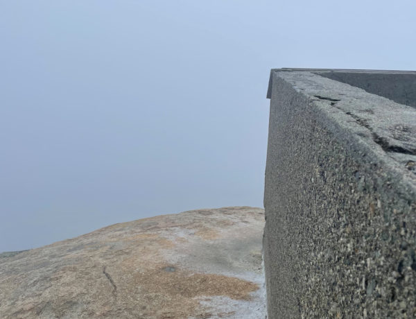
The summit of Mt. Cabot is less than a half mile further up the trail. The views are limited and at this point the sky was overcast, so there wasn’t a lot to see. Plus, I still had three miles to burn to reach the tentsite. Oh, and two more almost 4000 footers, The Bulge (3950 ft) and The Horn (3905 ft).
Trudge on. Again.
From Mt. Cabot, Kilkenny Ridge Trail makes a steep, rough descent into the saddle between it and the wooded summit of The Bulge. More rocky footing leads into the sag and then up the slope of The Horn. A steep, ledgy side trail goes to the open rock summit of The Horn, where apparently there are spectacular views. I didn’t take this detour, but if you’re not exhausted and racing the sun, the AMC guide makes it sound worthwhile.
Hiker term: Ridge
A long, narrow chain of mountains or hills that form a continuous elevated crest.
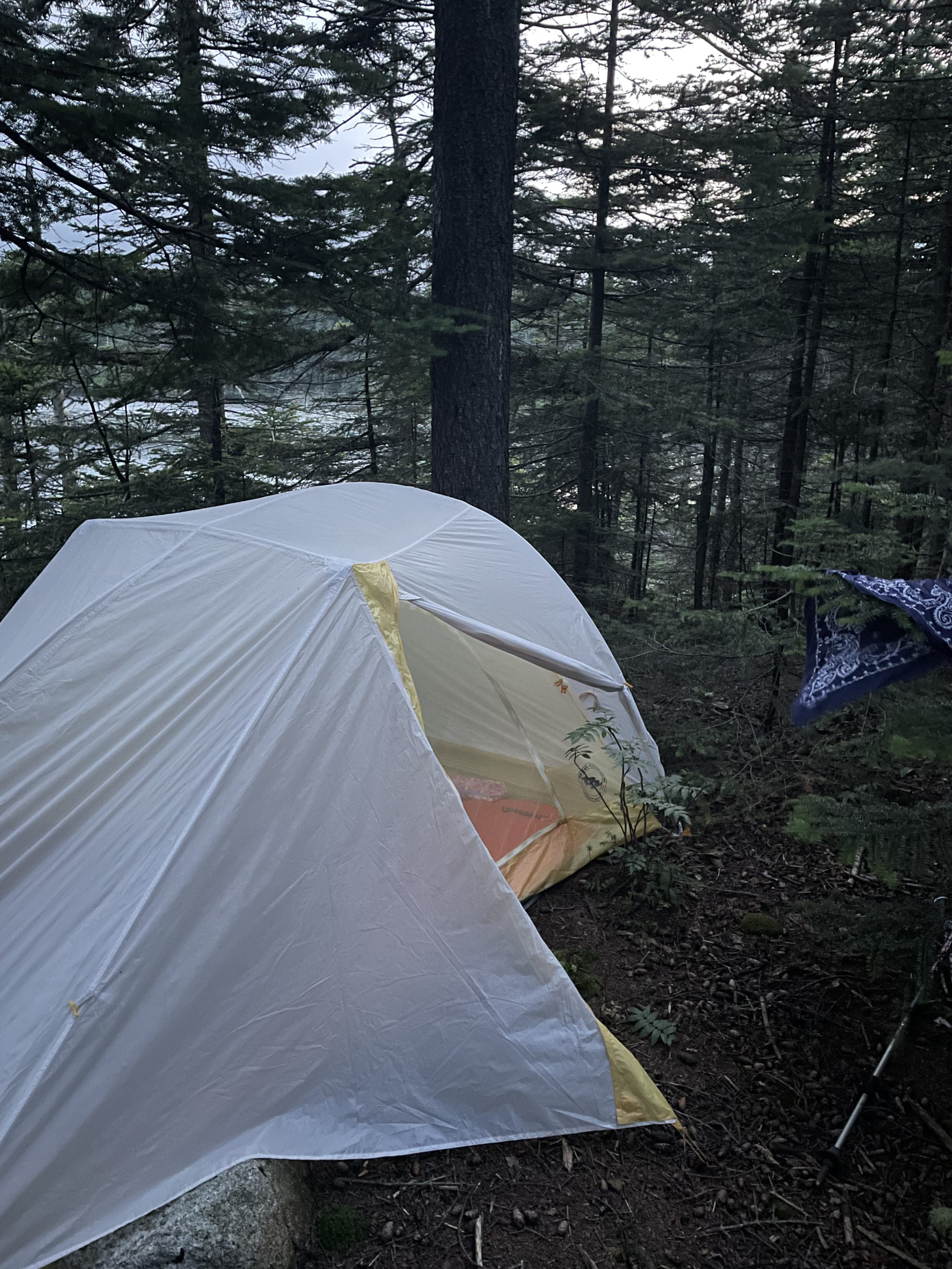
The descent from The Horn is more gradual, dropping into a wet sag and leveling out. I will say, the distance between seeing the Unknown Pond Tentsite sign and the actual camping area seems like miles. I’m sure it isn’t. But it felt endless. I reached the tentsite at 8:30pm, and wouldn’t you know… all five sites were full. One was occupied by no less than twelve teenagers on some kind of guided trip. This was a Wednesday night, not a weekend, so a full house wasn’t something I’d considered. Sometimes backwoods tentsites have overflow space or unofficial clearings that can accommodate a tent. That wasn’t the case here, or at least not in any obvious way. Most of the land around the lake was also marked for revegetation, meaning you’re not allowed to walk (or camp) in those areas. Finally (desperately) I found a spot above the reveg area next to the lake that could just barely fit my tent.
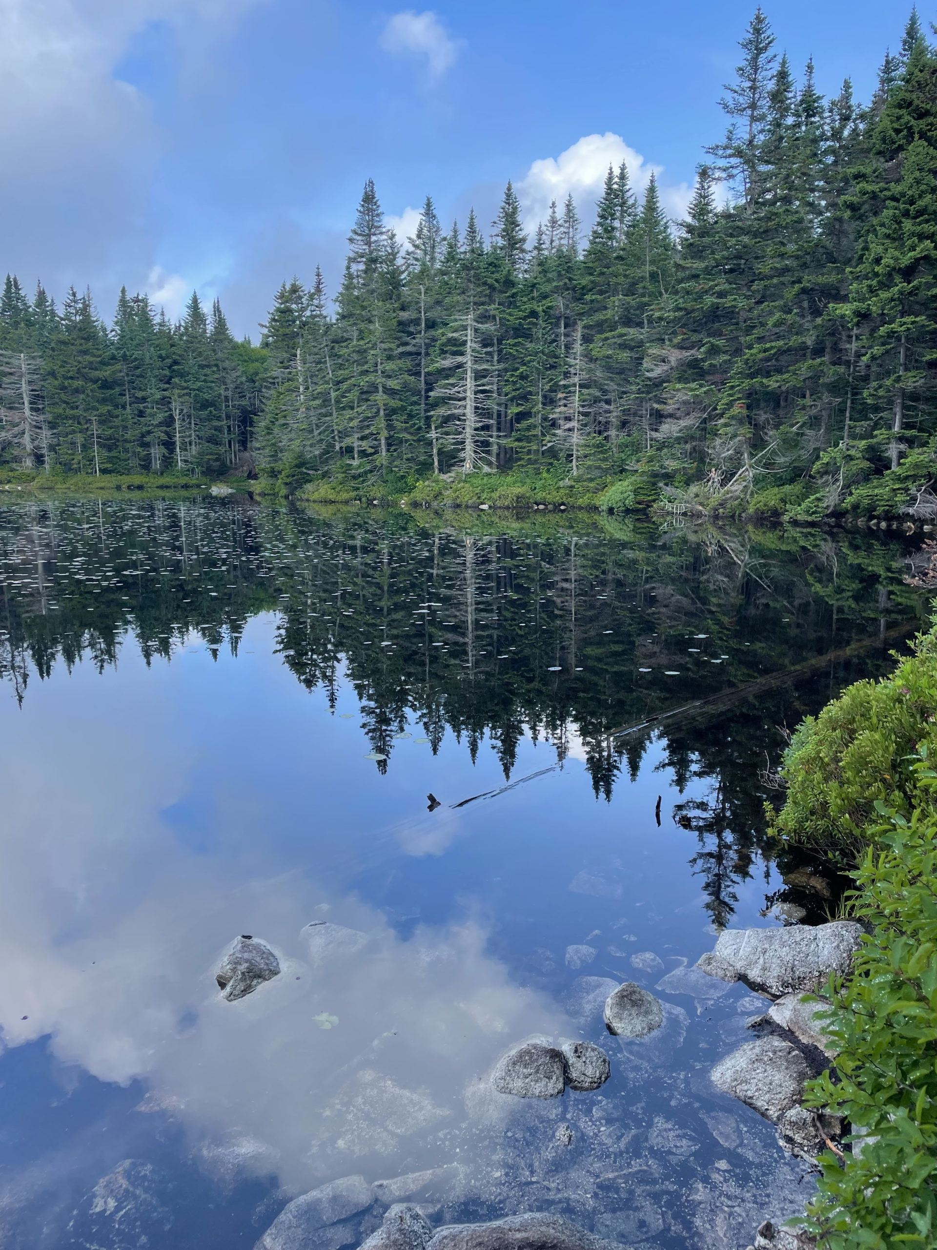
The next morning, it was pretty amazing to wake up next to the pond. The sky had cleared and most of the other hikers had left, which made for a slow, peaceful morning. Before starting this hike, I was seriously considering hiking back the whole 18 miles to Rt. 2. Instead, I opted to carpool back to my starting place with my hiking buddy, whose car was waiting a mere three miles away at York Pond Road. From the tentsite, Unknown Pond Trail follows a brook all the way to the road where several other trails begin. It’s steep coming down from the pond and muddy in places, but a moderate three miles overall. And compared to the previous day’s hike, it felt like it went by in a blink.
On the drive back to my car, we talked about the choice we had made to split up and hike Mt. Cabot separately. We agreed it was the right choice, because at that point in the hike we were moving at different paces physically, and mentally, each person had to find their own motivation to keep moving. Had we been day hiking and found ourselves in the woods at dusk with no supplies, staying together would have been the obvious choice. But all parties had overnight gear, food, water, and headlamps. To some extent, hiking alone or sticking together is a matter of personal preference. I prefer to suffer—or, a more positive term, push myself—in solitude.
There is a term commonly used by thru-hikers, especially long distance ones: Hike your own hike. There’s even a hashtag: #hyoh. What this means is, don’t try to keep up or wait. Always hike at your own pace, paying attention to what your body needs, wants, and can handle. Particularly when hikers share their experiences on social media (for example, documenting a trek on the AT), opinions are shared. ‘You’re hiking too fast, you can’t possibly be enjoying the experience.’ Or ‘You’re hiking too slow, you won’t make it before Katahdin closes.’ And everything in between. Your journey is yours to share, and also yours to experience in whatever way you like.
Summit lesson: Hike your own hike! Hearing this motto was incredibly freeing. To me, it means I don’t have to apologize for moving too fast or for taking my time. Neither do you. Hike on, friends.
Kilkenny Ridge Trail to Unknown Pond Trail
| Total elevation: 4006 ft, 4170 ft | Elevation gain: 6470 ft |
| Mileage: 18.3 miles | Alpine exposure: minimal |
| Terrain: dense ferns, rocks & roots, woods walk, rock steps | Challenges: steep sections, multiple peaks, long |
| View payoff: limited but lovely | Dogs: yes, but keep the distance in mind |
Recap: Starr King Trail to Mt. Waumbek is a lovely hike: Steady elevation gain to a ridge connecting Mt. Starr King to Mt. Waumbek. This would be a super trek for a new hiker. Making the choice to tackle Kilkenny Ridge Trail is another matter entirely. This trail isn’t heavily used, and the low vegetation—mostly ferns—make for a bushwhack-like experience. The trip from Mt. Waumbek to Mt. Cabot includes six additional peaks, all over 3600 feet. Continuing on to the Unknown Pond Tentsite will take you over another two peaks. It is a wonderful, painful, soul-searcher of a hike, and if you’re looking for a challenging backpacking adventure, this is it! I highly recommend doing this as a point-to-point hike, whether you’re completing the entire Kilkenny Ridge Trail (22 miles) or cutting off at one of the side trails (Unknown Pond Trail or Mill Brook Trail). If you choose to backtrack… you have my respect.
2 Comments
Liz
February 11, 2022 at 9:45 amThanks for the HistoriCorps mention! We did get a group of youth from SCA-New Hampshire and two volunteer crews to restore Cabot Cabin’s siding, dry-stack foundation, and roofing. We’d love to invite any interested folks to check out our hands-on volunteer opportunities for 2022! Learn more at http://www.historicorps.org.
Liz
Sarah Holman
February 12, 2022 at 3:36 pmThanks so much for the update, Liz! I’m happy to know Cabot Cabin got some TLC. It’s such a cool spot!