Rt 15 to Wilber Brook
100 Mile Wilderness | Appalachian Trail
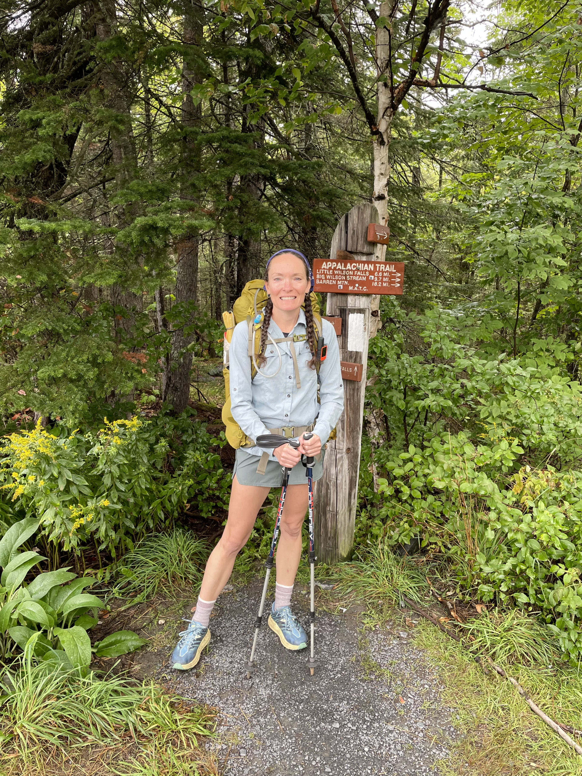
I woke up early on the morning of September 2, 2021 and took a shower. I wouldn’t be showering again for eight days. I planned to splash around in the numerous lakes, rivers, and swimming holes in the woods along the way. Maybe I’d even use a little of my wilderness wash to take the edge off. But a real, hot shower was days away. With my hair still wet, I put it in two long braids and tied a bandana (one of two I was bringing) over the top. I intended to keep my hair that way as long as possible.
I was scheduled to meet Phil Pepin of 100 Mile Wilderness Adventures at his campground in Monson at 9:30am. It’s a two-hour drive from Portland, so we were on our way at 7:30. I’d been to Monson once before, when I was writing an article for Maine Women Magazine about Monson Arts. The Libra Foundation-supported artists residency program has revitalized the former slate town, making it a destination for artists from around the world. But even before Libra, Monson was seeing hikers from all walks of life tromping through town on their way to the final push on the AT before Katahdin: The 100 Mile Wilderness. Monson is the last provisioning stop before the Wilderness. A general store in town is available, as well as Poet’s Gear Emporium at Shaw’s Hiker Hostel, and the last hostel on the trail.
The day before I left Portland, a friend mentioned it was bear hunting season up north. I didn’t believe him. I’d never known anyone who hunted bear; the only season I was familiar with was deer hunting in November. September seemed too early for hunting. When we pulled into the gas station in Monson, the truck next to us had a dead black bear in the bed. I had a moment of panic. I knew hunting wasn’t allowed in the AT corridor, but that didn’t mean there wouldn’t be hunters nearby. I decided I’d feel better if I had something blaze orange to wear or attach to my pack.
I was surprised to find the general store attached to the gas station didn’t have anything orange. I asked the woman at the desk, and she said, ‘Hold on, let me look upstairs.’ A few minutes later she was back with a pile of hunting vests and ball caps. I opted for a Remington hat and off we went to find Phil.
Not surprisingly, Phil’s compound is located down a secluded road, tucked into the woods. The Appalachian Trail passes through the woods just two minutes away, making this an ideal spot for hikers to hop off the trail and visit Phil. When we arrived, he was just getting back from a food drop run. He invited us into the common room cabin and told me to drop my food bag in the large Tupperware holding several other bags of food.
That was it.
No in-depth labeling system, no color-coded drop spot, not even my name in Sharpie. Just drop it. Just trust him. I was handing off half my food, and if Phil didn’t show up, I was going to be totally screwed.
I dropped it in the box.
Next, Phil asked if he could add a few camping spots to my map. I spread it out on the wooden table between us and he went to work.
Phil added twenty-three camping spots to my map. Twenty three. There are only twenty official AT-maintained camp and tent sites in the 100 Mile Wilderness. At this time of year it was a very real possibility that the official spots would be full, especially the lean-tos in bad weather. We were also aware there had been a COVID outbreak at Shaw’s Hiker Hostel, which meant all those hikers were currently staying at shelters in the Wilderness. They didn’t know they were sick before they went in, but even if they did, there is really no way to enforce social distancing in the woods.
I added Phil’s contact number to my Garmin In Reach Mini, and he assured me he’d respond promptly to any call for help. He also warned me about the slate. The first fifteen miles of trail traverse incredibly slick slate ledges. Even when they’re dry, they’re slippery. He also said (and I did already know this) the first fifty miles are significantly harder than the second. With that, he bid me good luck and off I went.
We drove four miles up Rt 15 to where the AT crosses the road and the 100 Mile Wilderness begins. I extended my poles, heaved on my pack, and posed for a photo. And then I started walking.
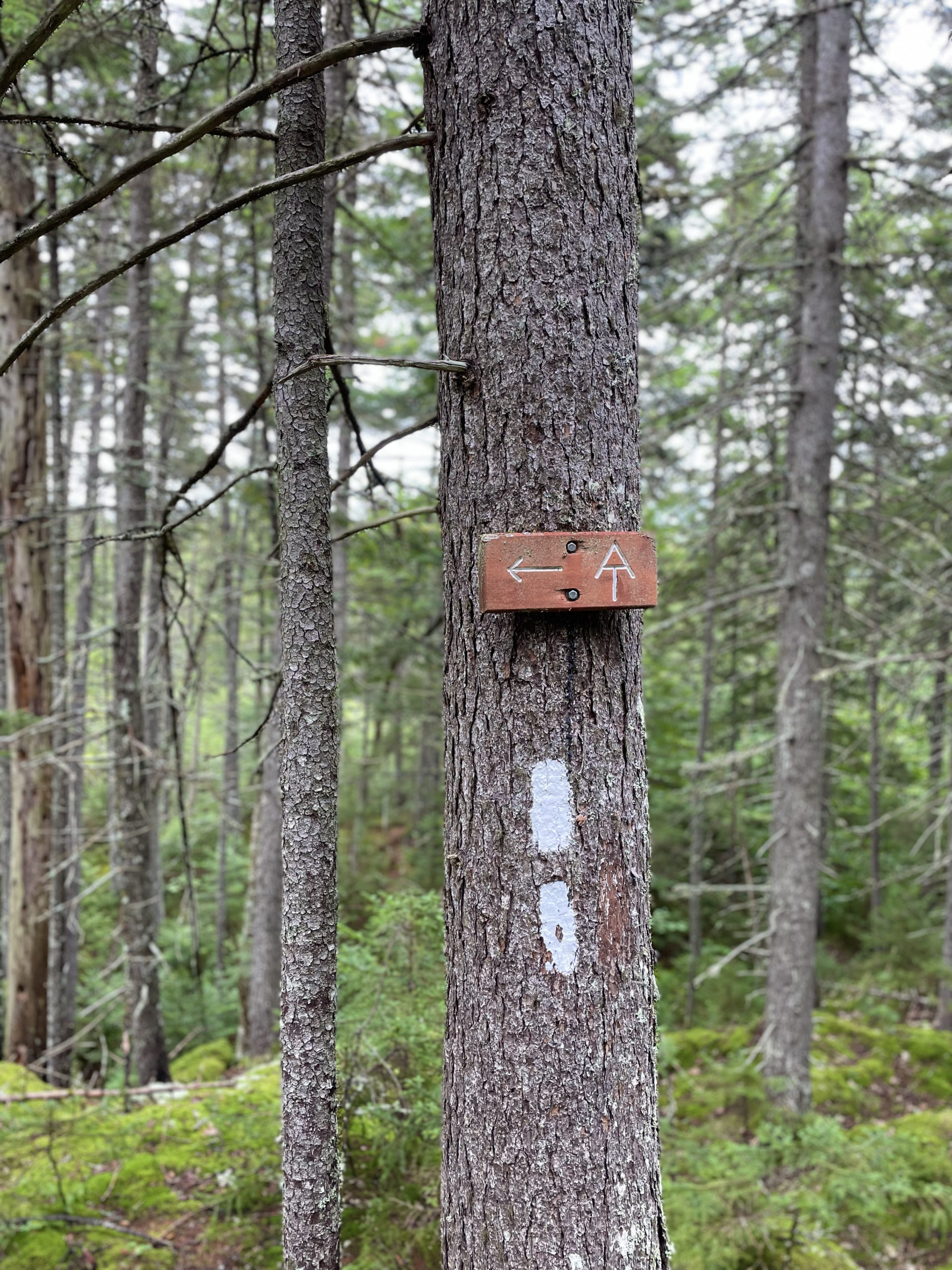
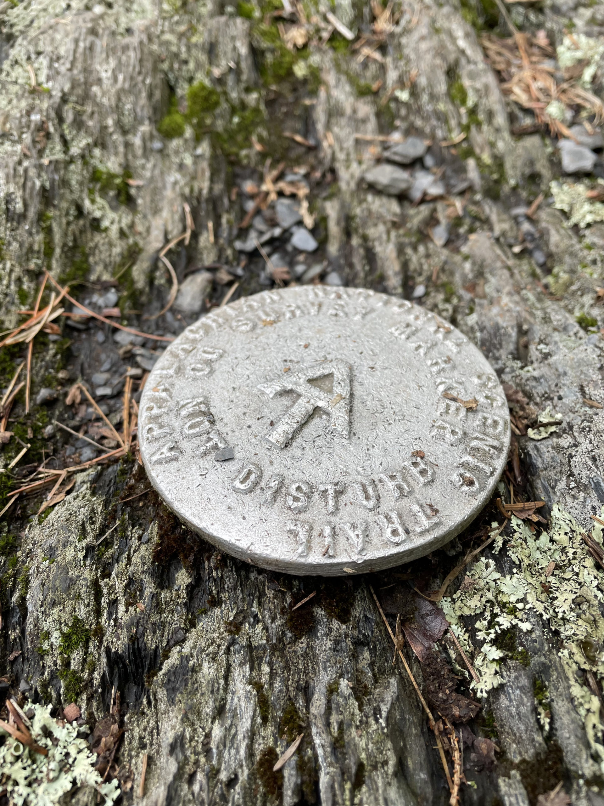
Within minutes, hikers encounter this sign:
APPALACHIAN TRAIL CAUTION
There are no places to obtain supplies or get help until Abol Bridge 100 miles north. Do not attempt this section unless you have a minimum of 10 days supplies and are fully equipped. This is the longest wilderness section of the entire AT and its difficulty should not be underestimated. Good hiking! M.A.T.C.
So if you didn’t know, now you know.
Off I went.
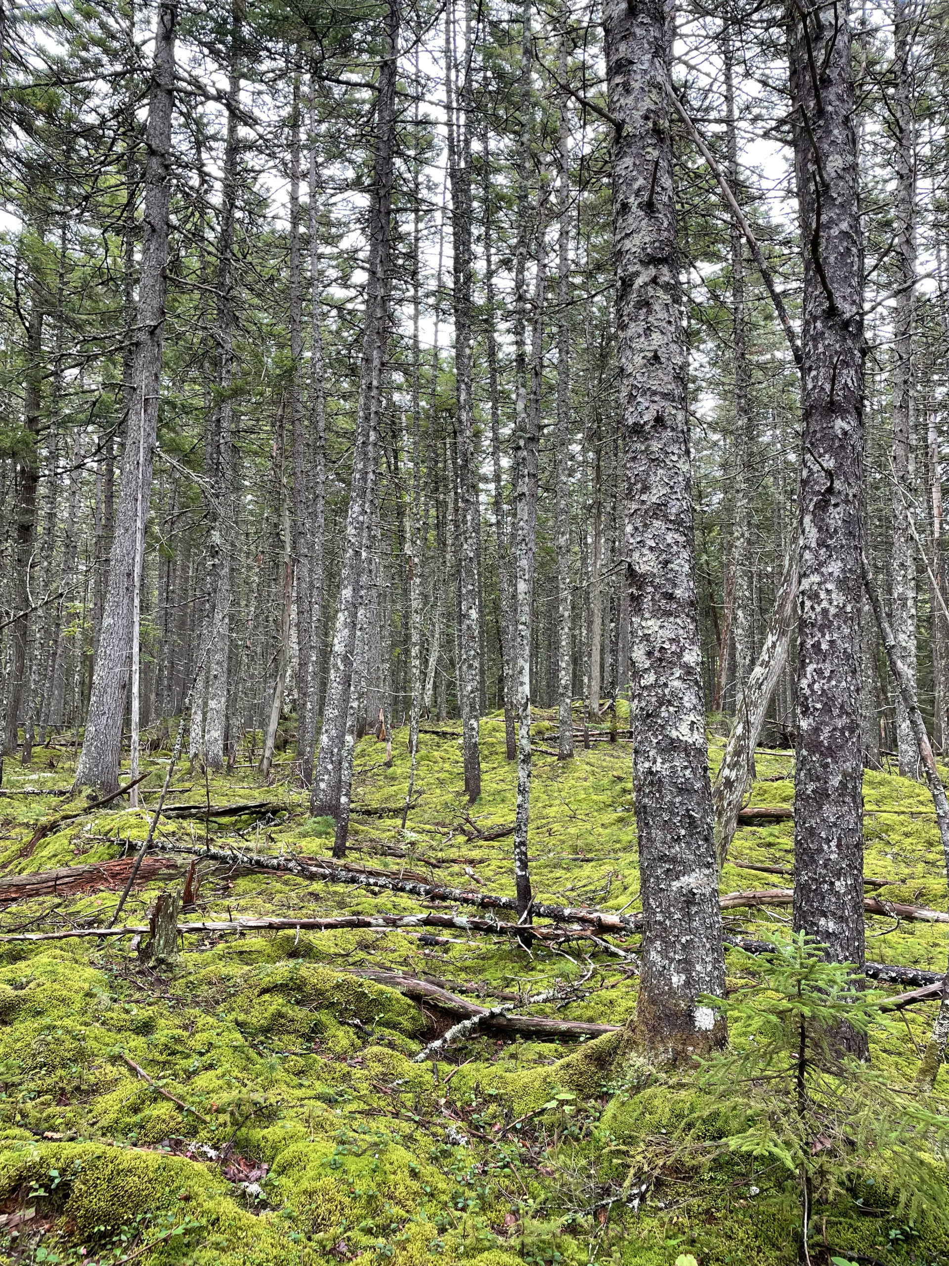
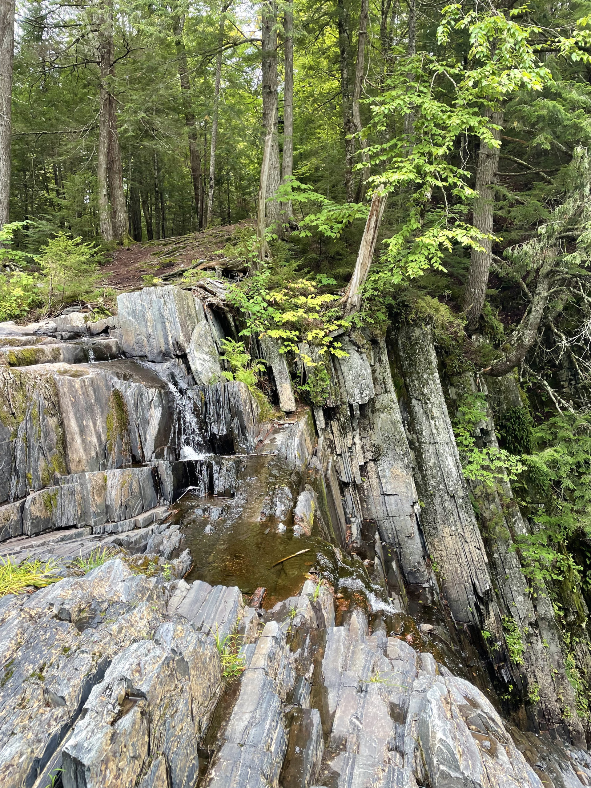
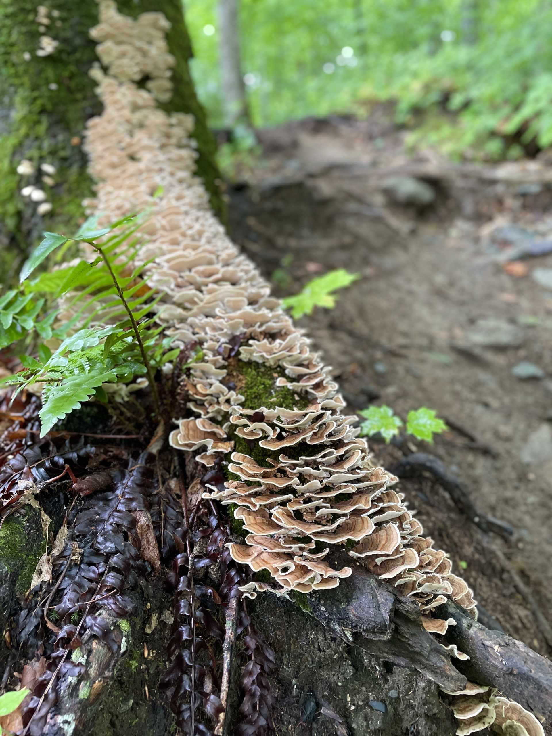
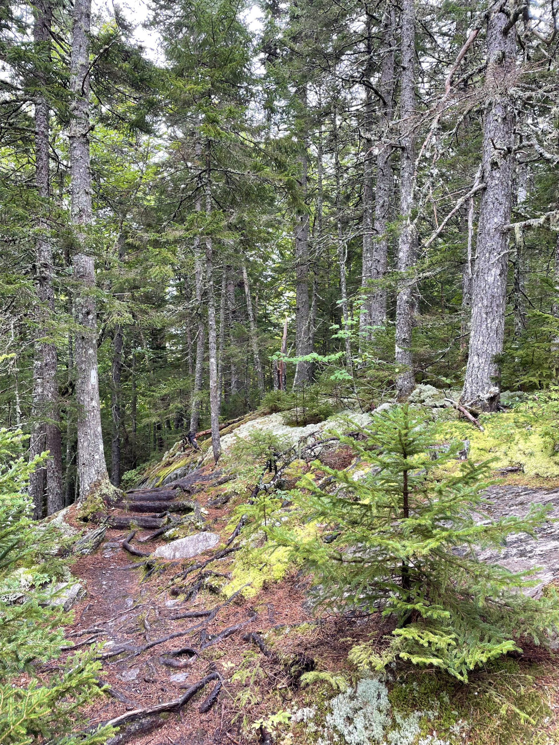
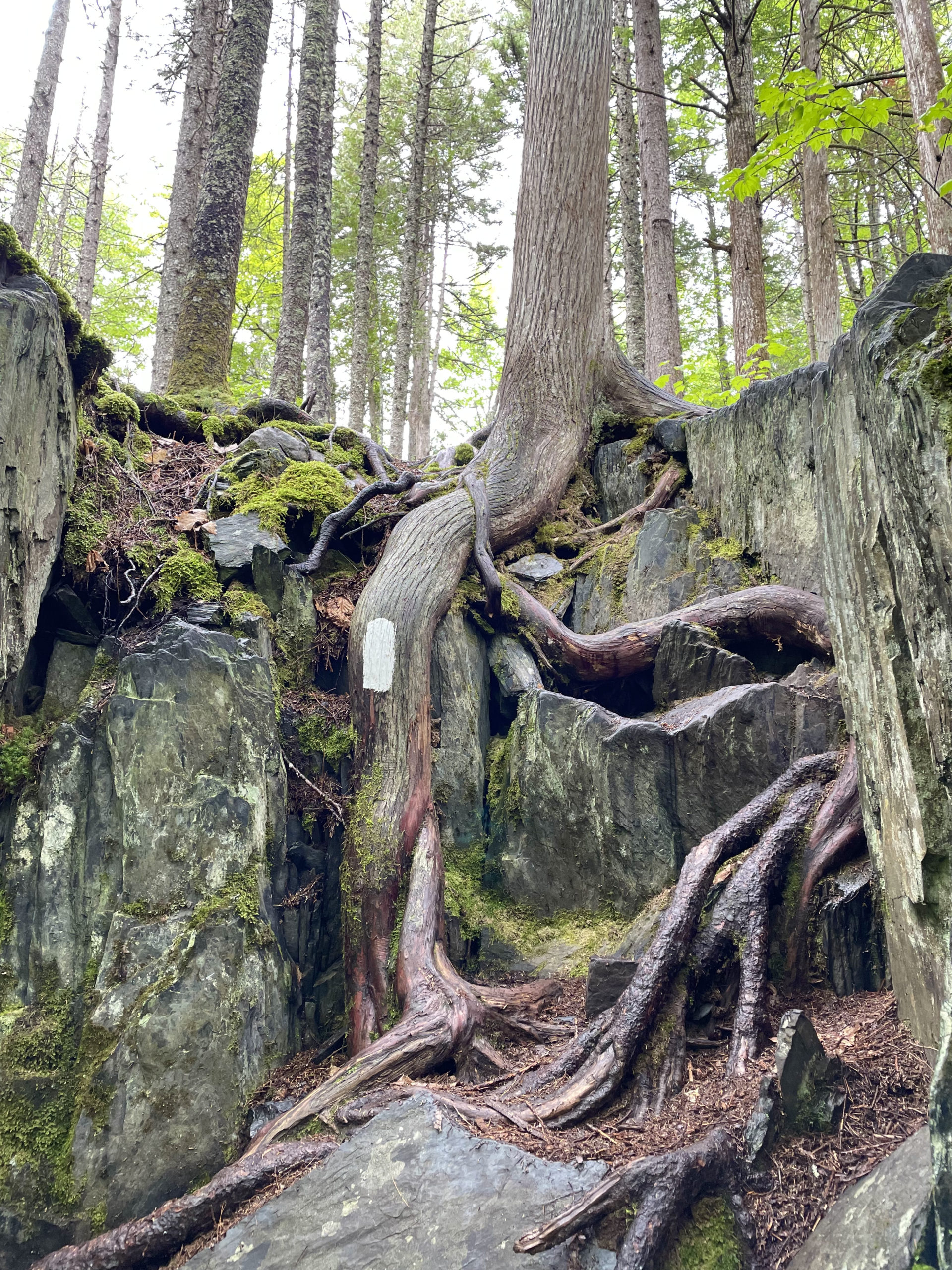
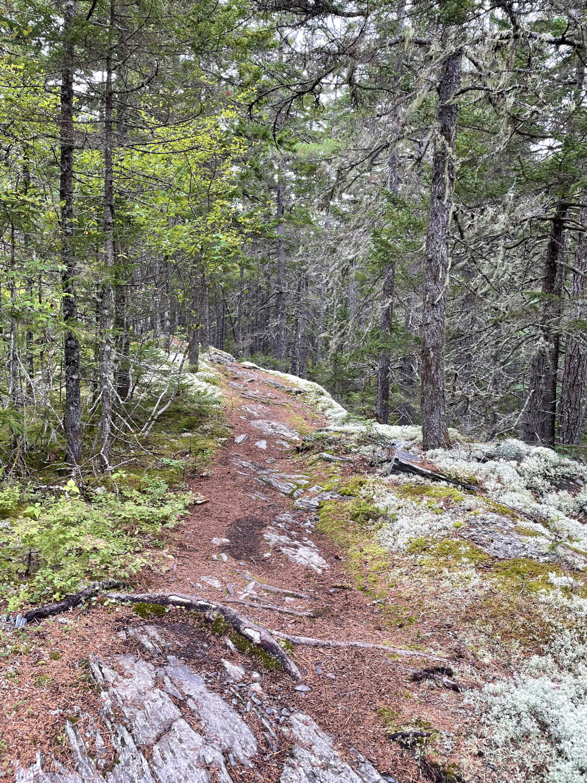
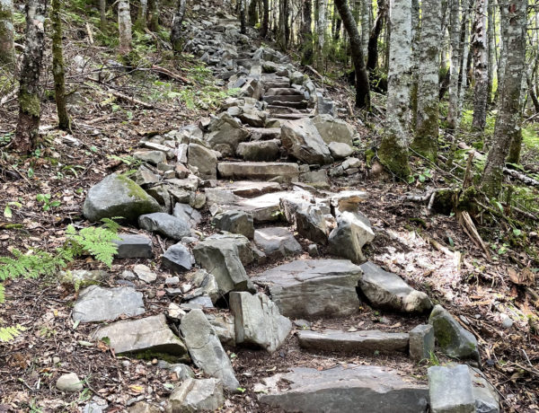
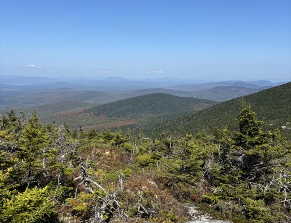
The first few miles were just as Phil described them: slick slate ledge. Not too bad if you know what to expect. I was amazed by how lush everything was. Moss, lichen, and ferns. I passed three quiet ponds before reaching Little Wilson Falls at mile 6.5. This sixty foot waterfall through a slate gorge is worth hiking in to see, even if you don’t go any further on the trail.
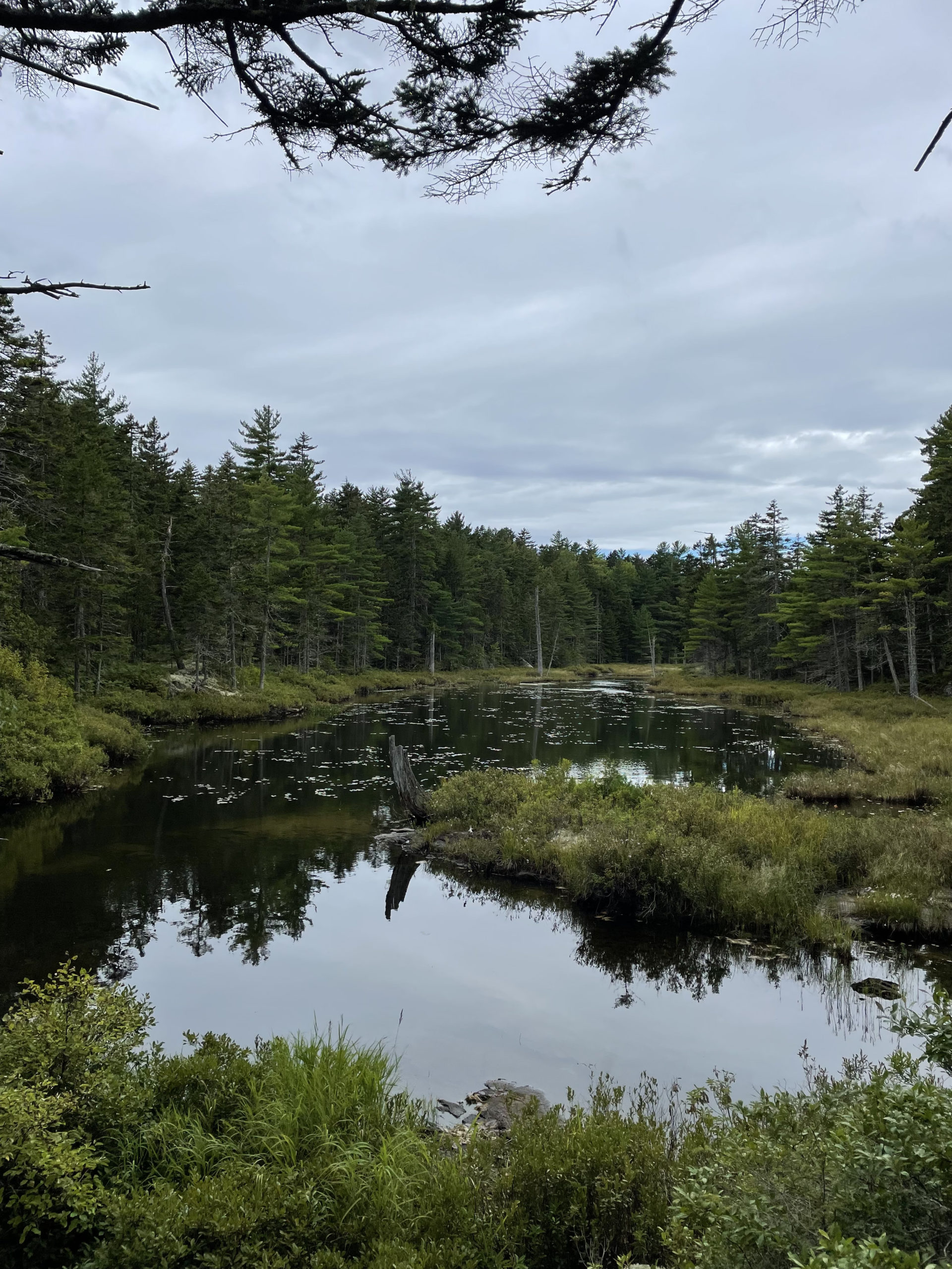
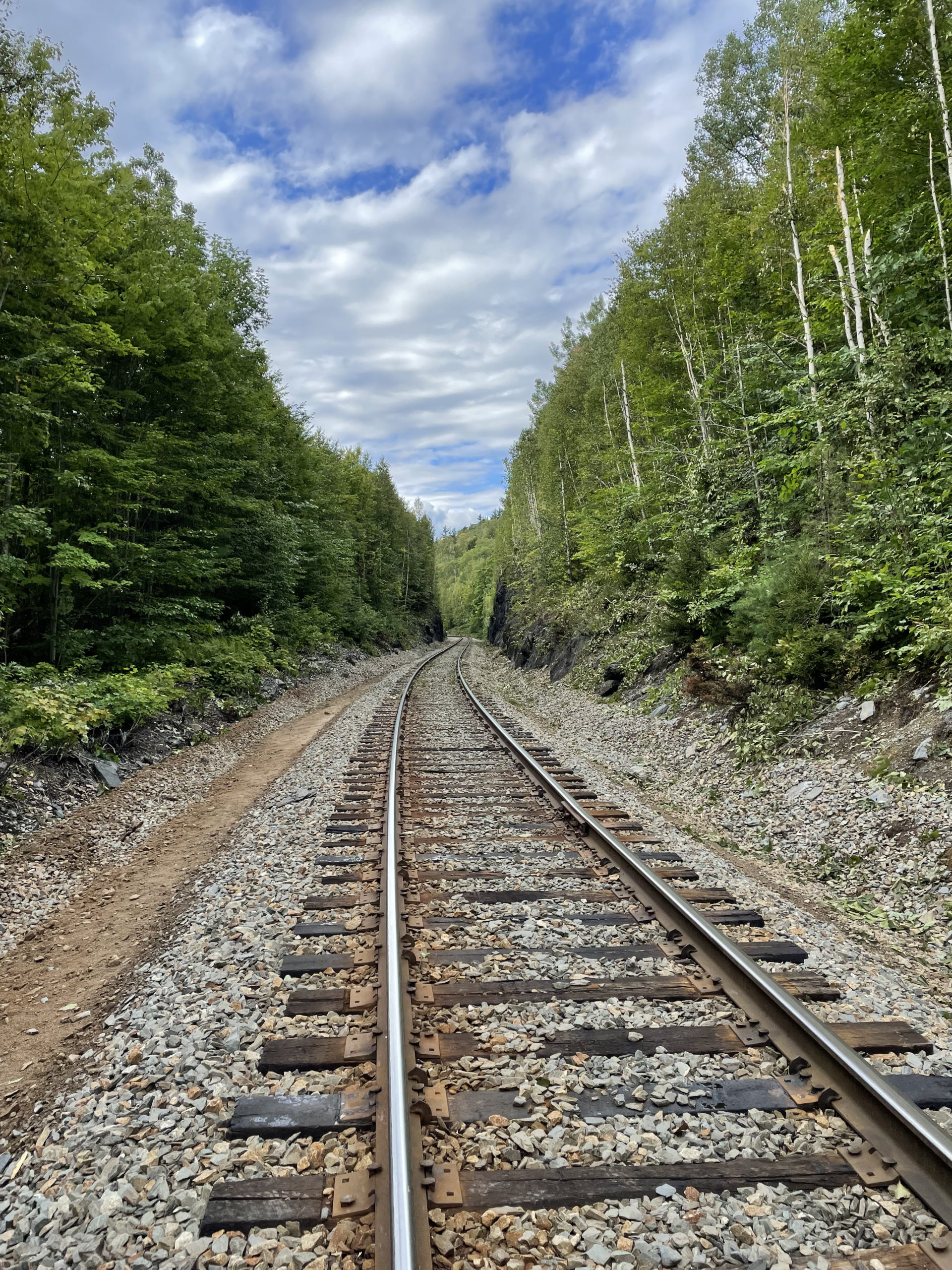
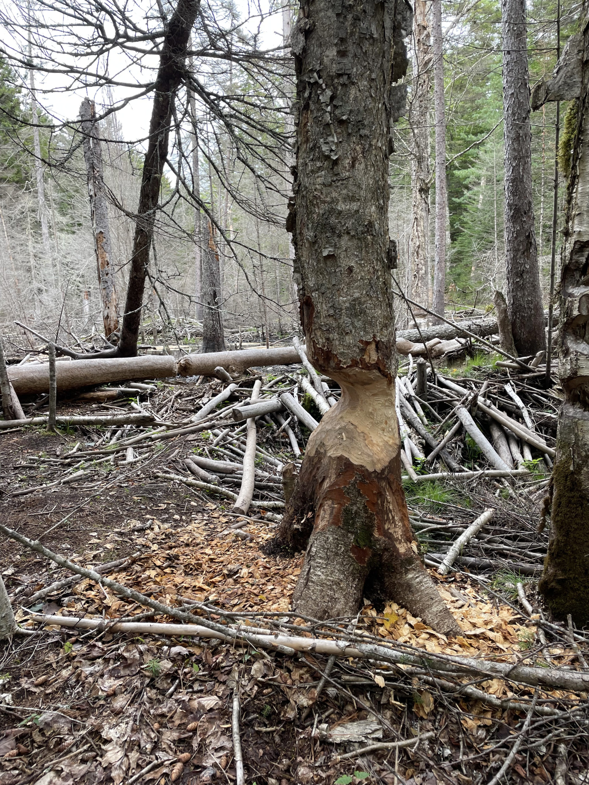
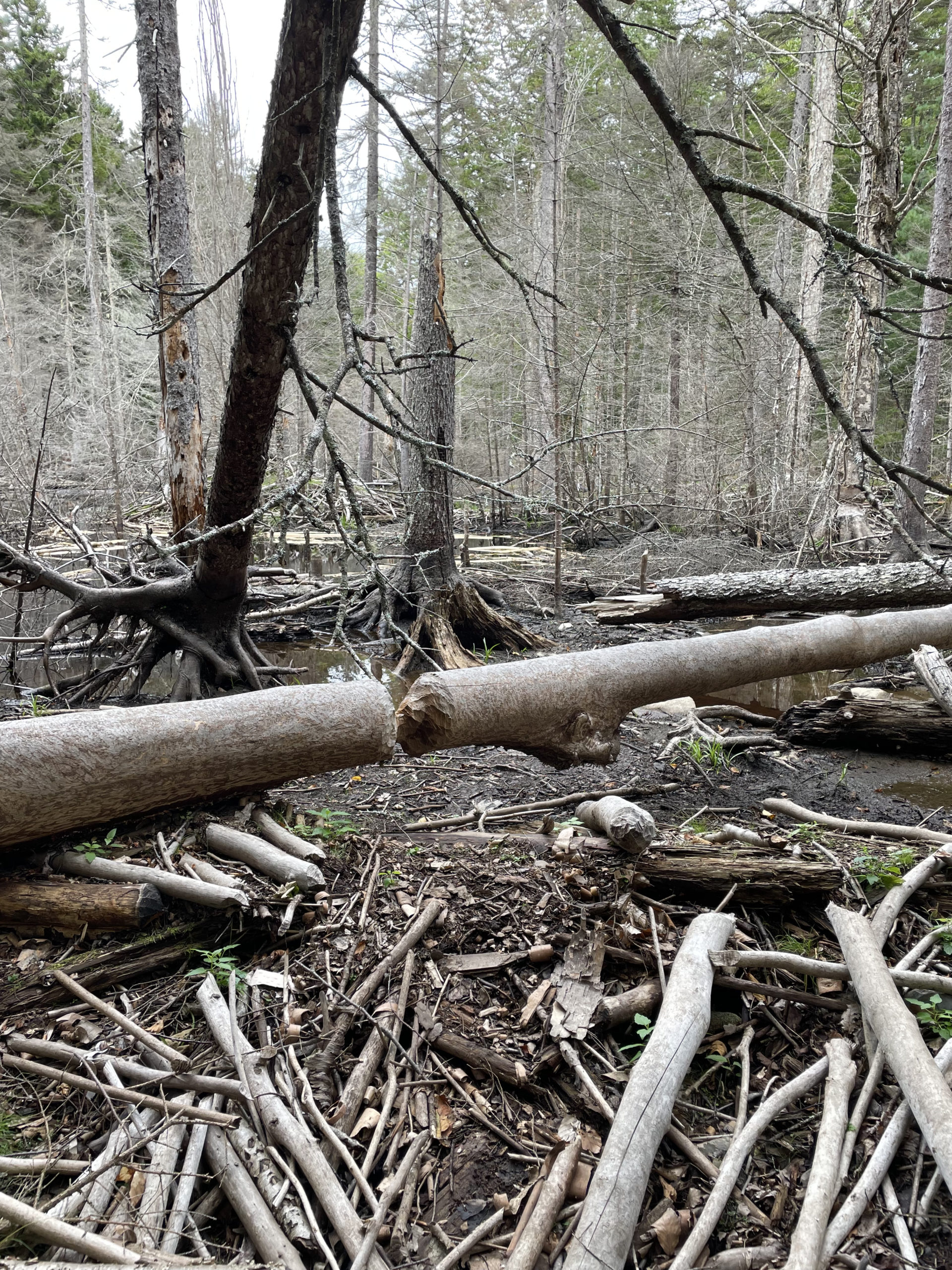
From the waterfall, the trail climbs Big Wilson Cliffs and crosses Big Wilson Stream. A rope is strung across the water to help with fording, but the water was low enough to cross via the rocks. The trail crosses active railroad tracks and re-enters the woods. Not long after, there is an impressive beaver community with dams and hewn logs. No beavers were on site, but it was obviously an active area.
Wilson Valley Lean-to is just past the beaver dam. Many hikers stop there, marking their first day at 10.4 miles. It was about 5pm and I wasn’t really tired, so I decided to push on to the next Lean-to at Long Pond Stream, 4.7 miles further up the trail. The terrain was fairly easy, but when I reached a small stream about ⅔ of the way there, it was 7pm and dusk was falling. It was also one of the spots Phil had marked on my map. I crossed the stream and, true to his black pen mark, found a beautiful campsite.
I stood, debating. My goal had been Long Pond Stream, a total distance of 15.1 miles for day one. I also knew Long Pond Stream Lean-to was dry, so I’d have to fill up my water before I got there, because the next water source was miles away. I estimated I was 1-2 miles from the lean-to. I was reluctant to start my trip behind my planned mileage, but I also knew I could make up time in the second half of the hike.
The thing that finally convinced me to stay was this thought: I came out here to be in the wilderness, to find the beautiful places, to push the limits of comfort. I can stay here, on the edge of a river, in this wild place, alone and self-sufficient.
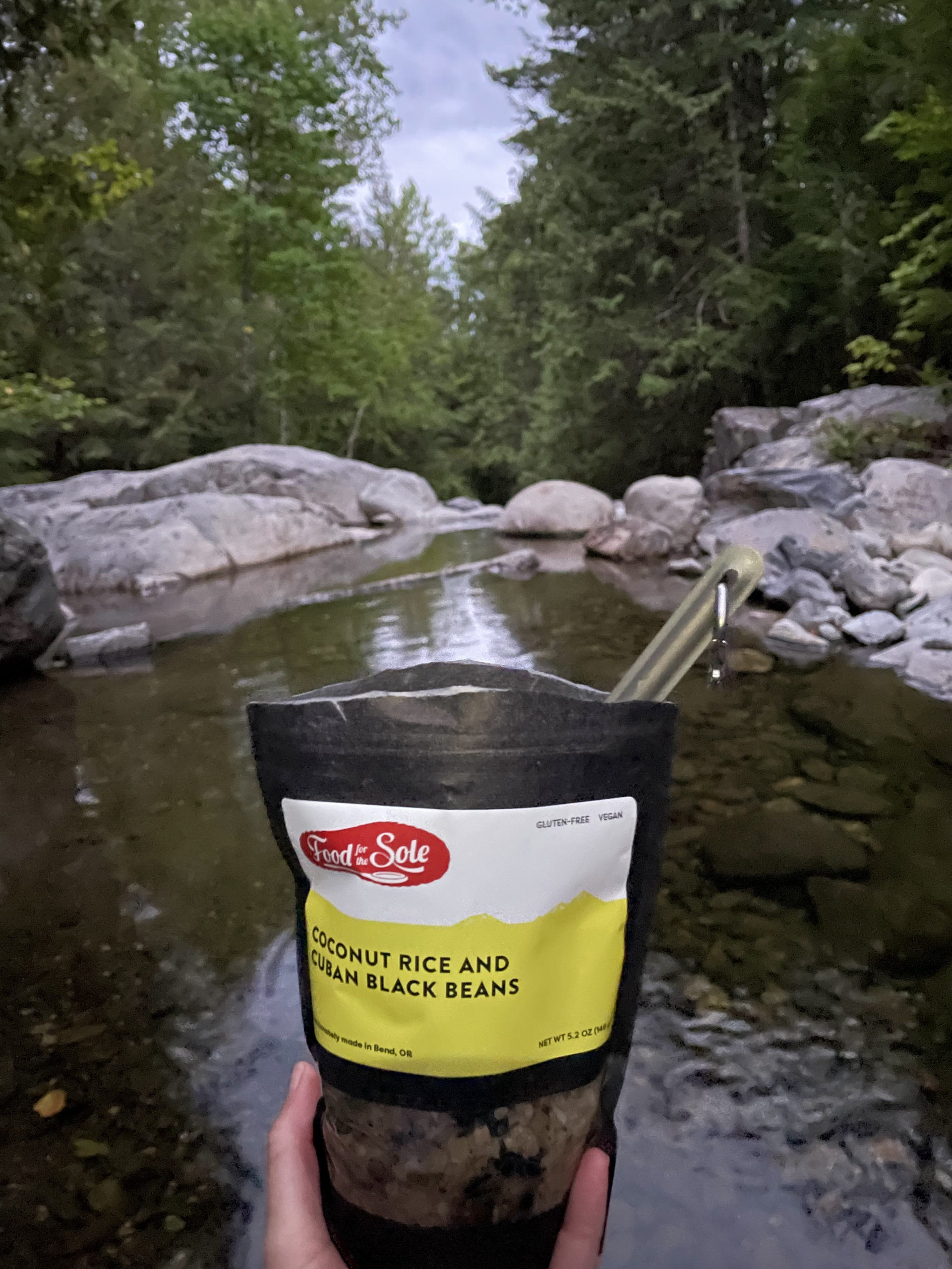
I set up camp, boiled water, and ate dinner on a rock in the middle of the stream.
2 Comments
Laura West
August 26, 2025 at 6:50 pmWhat time did you set out this first morning? Actual hiking time to Wilson valley at 5pm? Thanks:)
Sarah Holman
August 26, 2025 at 9:05 pmHi Laura! I started hiking at the Monson trailhead at 10:45. So, about 6 hours to reach Wilson Valley Lean-to.