Liberty and Flume Loop
Mt. Liberty 4459 ft | Mt. Flume 4328 ft
After deciding not to take on the Pemi loop in one go (saving that for next summer!) I had to figure out the most efficient way to tag the remaining ten peaks in the Pemigewasset Wilderness. One of the benefits to breaking up the list is the opportunity to hike the trails on the western side of Franconia Ridge, all of which are steep, challenging, and beautiful.
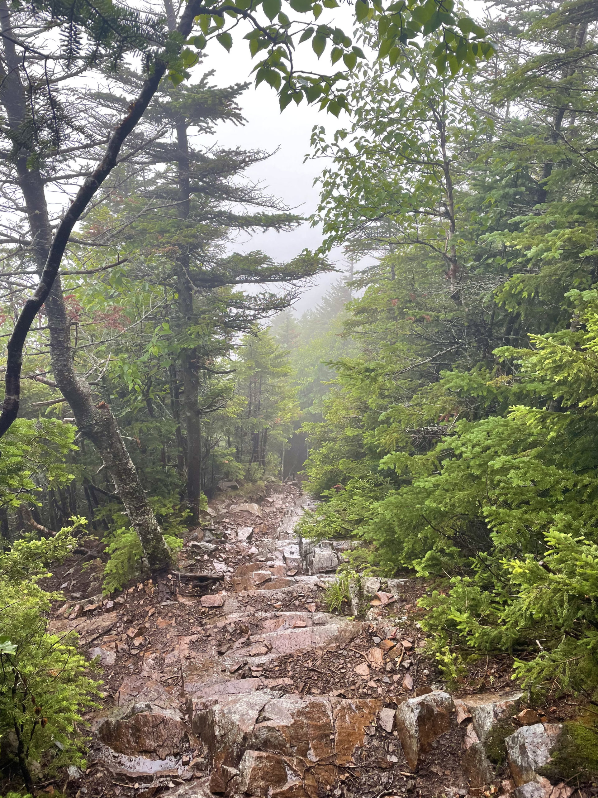
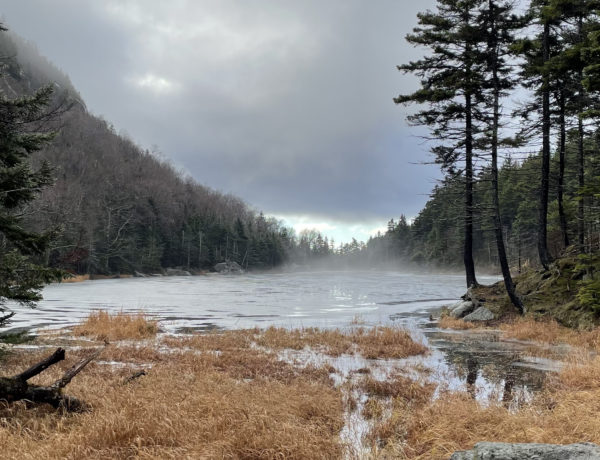
On a misty day in July, I hiked the Liberty and Flume Loop. The nine mile trek ascends Flume Slide Trail, a route shrouded in mountain legend. It is considered one of the most difficult sections of trail in the White Mountains. (The most difficult, according to the AMC, is Huntington Ravine Trail.) The upper section of Flume Slide is extremely steep and the rock is polished, making it very slippery when wet. And it is almost always wet due to seep springs and run off on the slope. The Appalachian Mountain Club discourages hikers from descending this trail in any conditions and advises against ascending it in wet weather.
I chose to start my hike at the parking lot across from The Basin, just off I93 in Franconia Notch State Park. Flume Slide Trail can also be reached via the Flume Visitor Center, located a few miles south. The natural attraction associated with the visitor center is the Flume Gorge, which extends 800 feet at the base of Mount Liberty. Its mossy granite walls tower 90 feet above the water and are just 12 feet apart in places. A 2-mile loop leads visitors on boardwalks through the gorge, and it is truly stunning to experience.
A trip to the gorge wasn’t on the day’s agenda, but I highly recommend it if you’re in the area. Plan accordingly: the gorge is a very popular attraction during the summer, and during the winter the boardwalks are removed for safety.
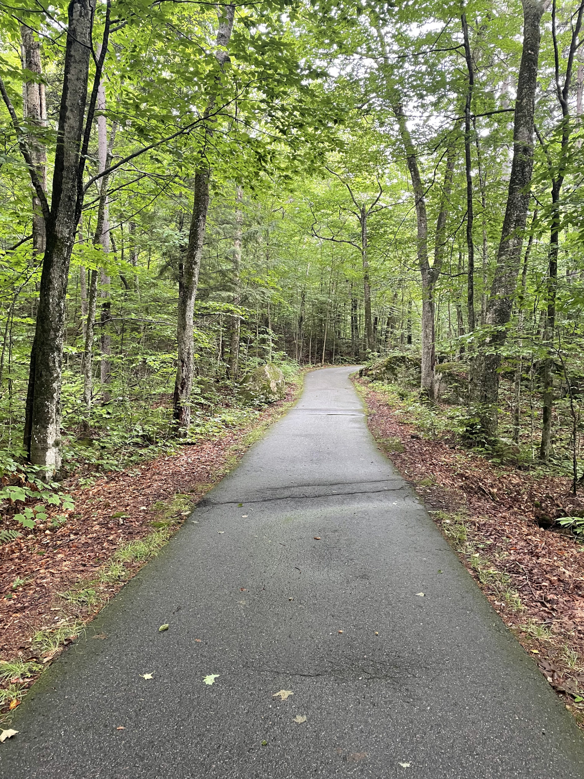
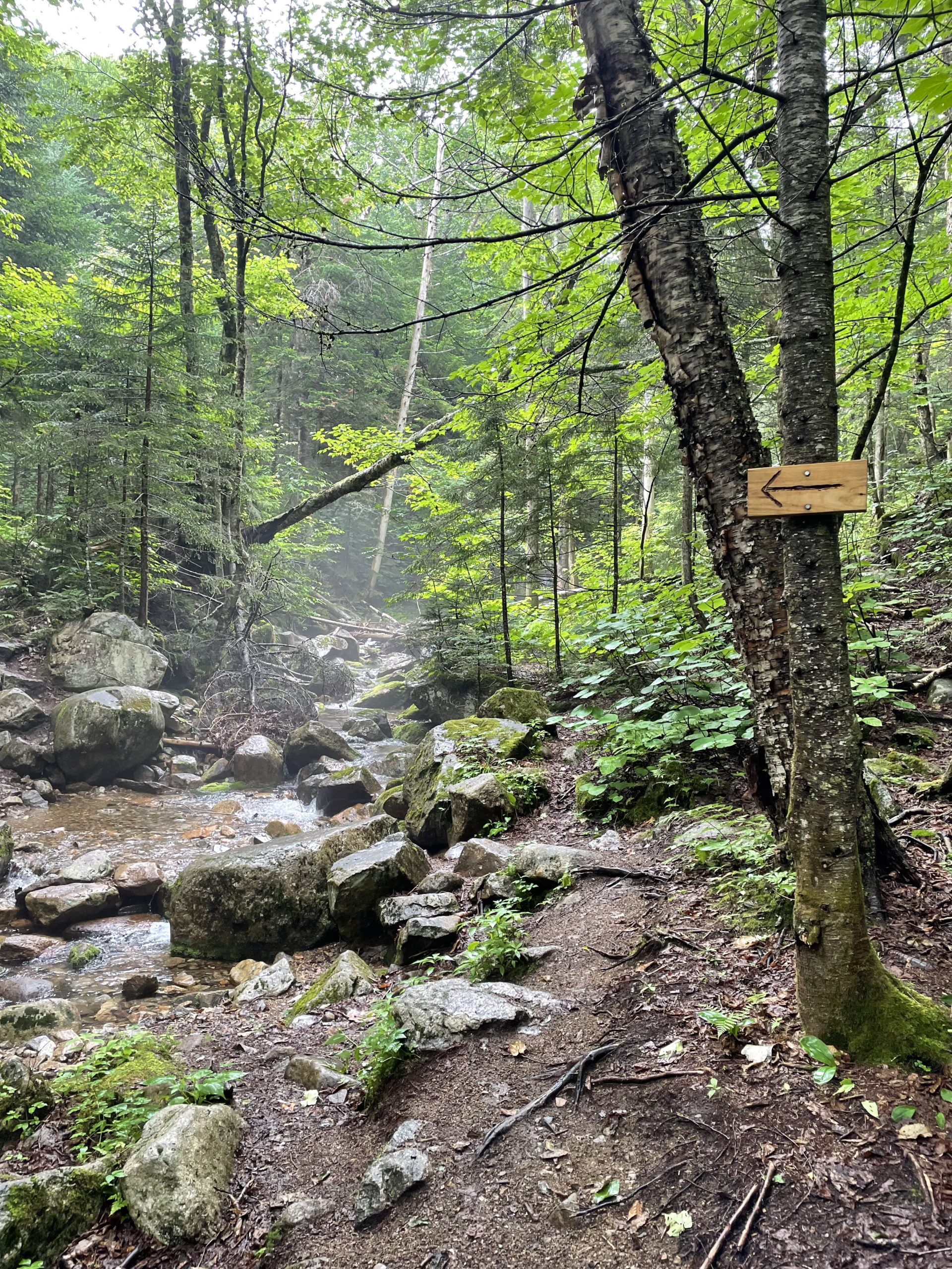
From The Basin parking lot I took the paved Franconia Notch Bike Path south and turned at the intersection of Liberty Spring Trail (also the Appalachian Trail). This stretch of trail climbs moderately before making a hard right to join an old logging road, and at .6 miles, Flume Slide Trail heads to the right. The next two miles are gradual with multiple water crossings. I lost count, but at least six. Most are minor, all are easy to cross with careful footing, per usual when traversing brooks. At around 2.5 miles the trail crosses a branch of Flume Brook, after which the footing becomes loose and gravelly, thanks to slide debris.
Hiker term: Slide gravel
Unlike gravel made up of aggregate rock fragments that tend to be small, slide gravel is larger pieces of rock that have broken off the ledge and tumbled down to the bottom of the slide.
With the river in the rear view, the climbing starts for real and the first ledges appear. There are beaten side paths running along the trail in the woods, and they help bypass some of the worst ledges. These routes aren’t easy either, though. They’re very steep, soft in spots, and often require pulling yourself up using tree trunks. I did some of both, woods route and rocks route, until I slid down a ledge.
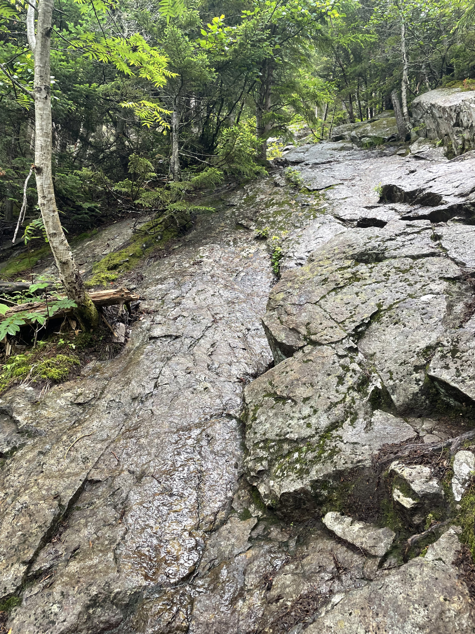
It was wet (AMC warning noted), insanely smooth, and slippery. I was trying to utilize a crack in a ledge to get some purchase for my feet, and there was just none. I slid about ten feet down the ledge until (luckily) I hit a narrow landing of dirt. I had a bloody elbow, a scraped knee, and racing adrenaline… and the worst part was, I still had to get up the damn rock. My hiking buddy had made it up the slide ahead of me (and watched in horror as I slid down), and was able to pull me up with a steady hand.
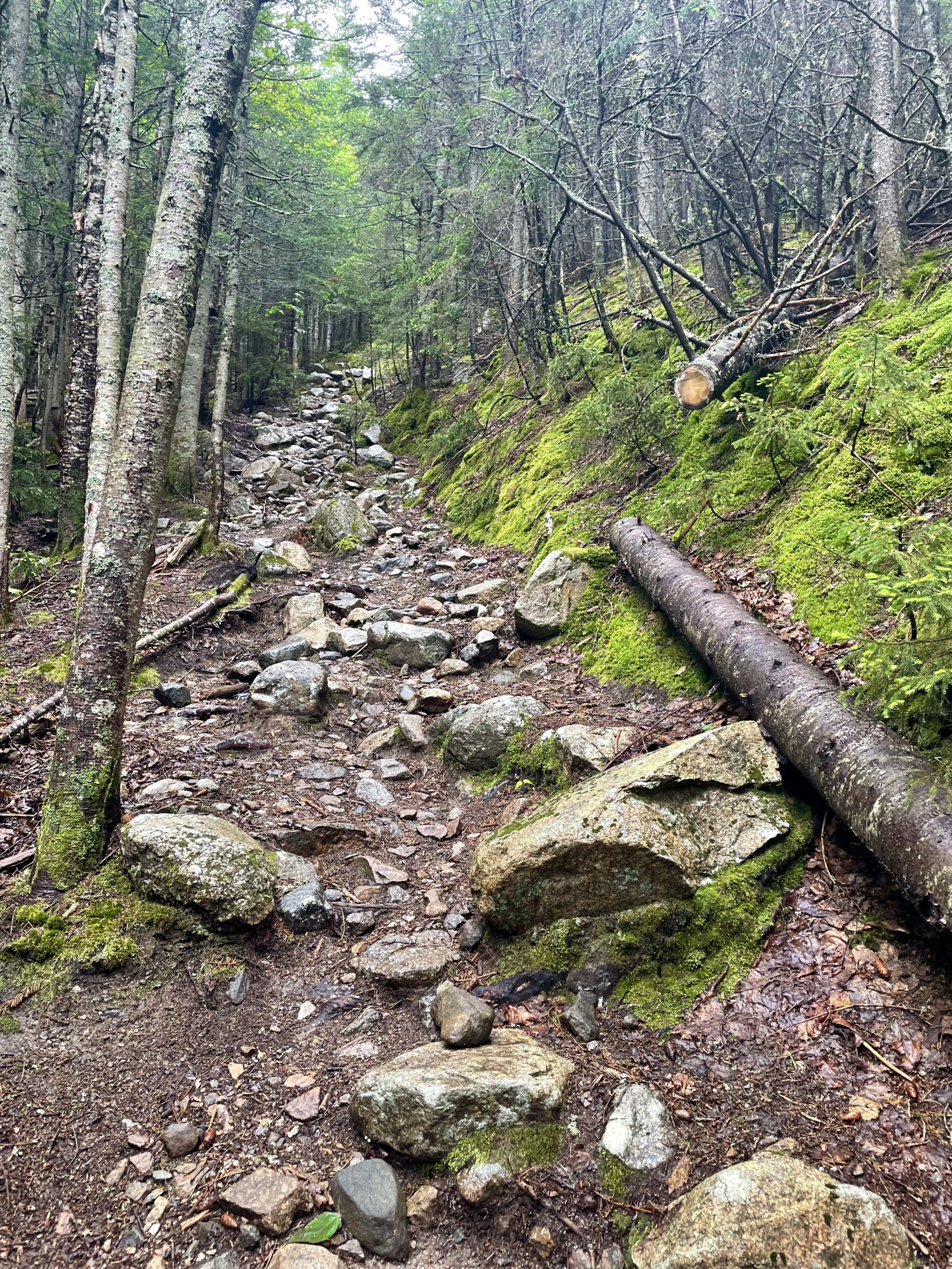
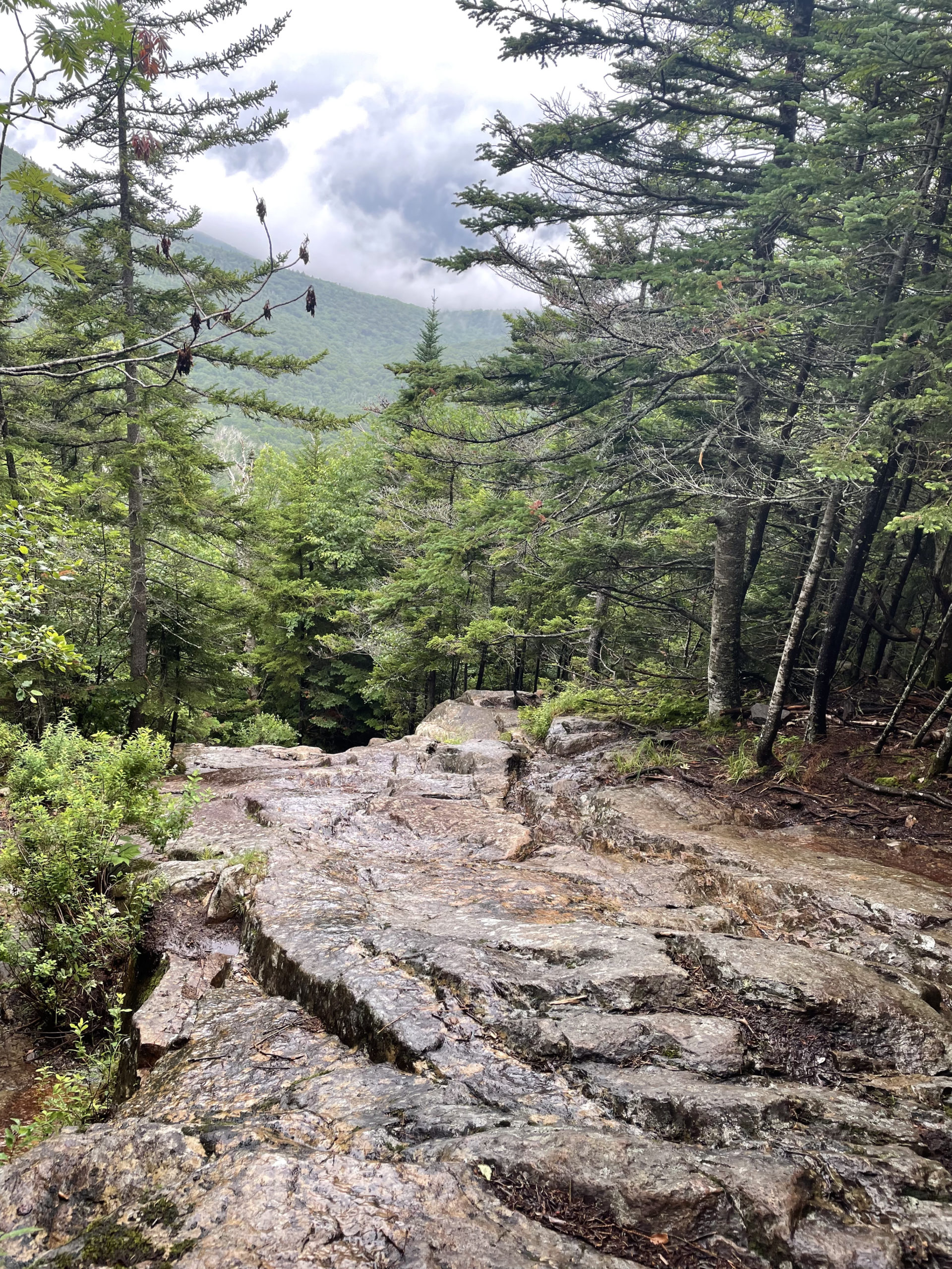
The really difficult, scary ledges last about a half-mile (it’s a long half-mile) before the trail becomes steep, rocky, and rooty. I’d call this section challenging on any other trail, but after climbing the slide, this terrain was welcome.
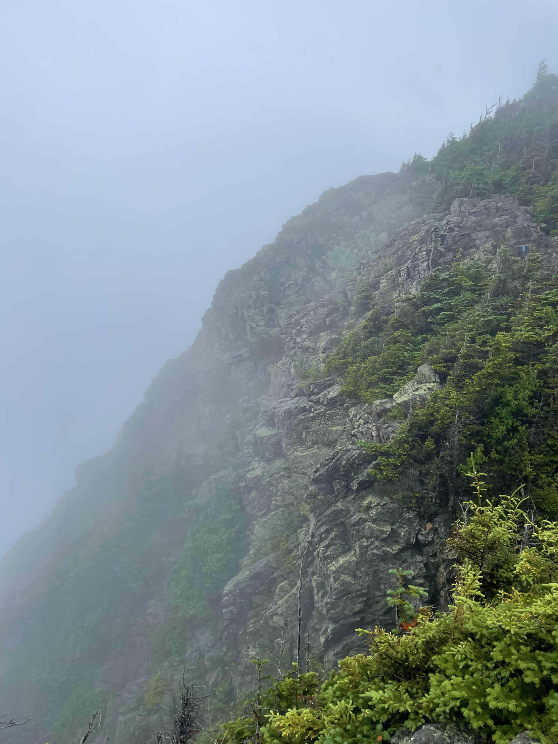
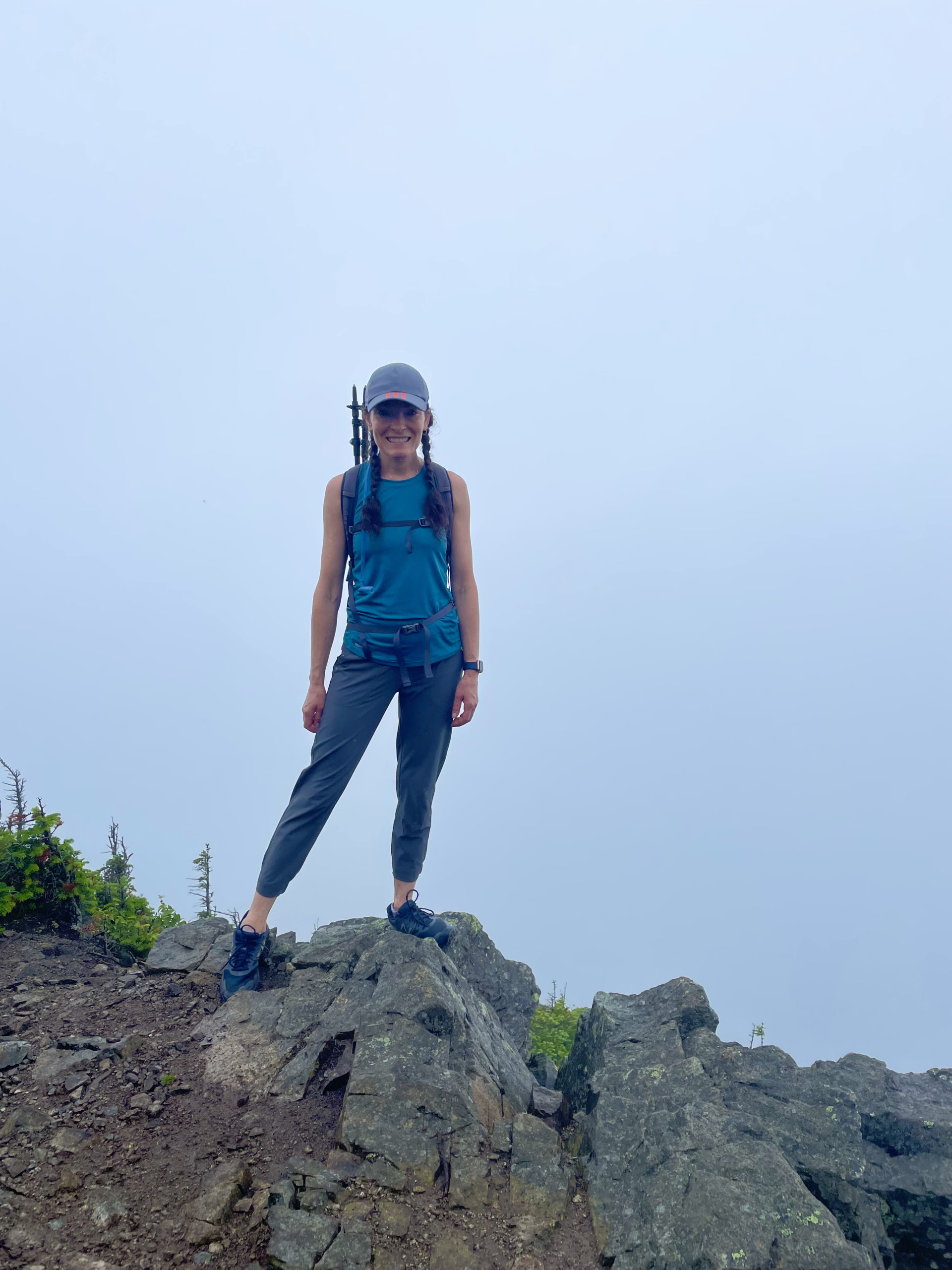
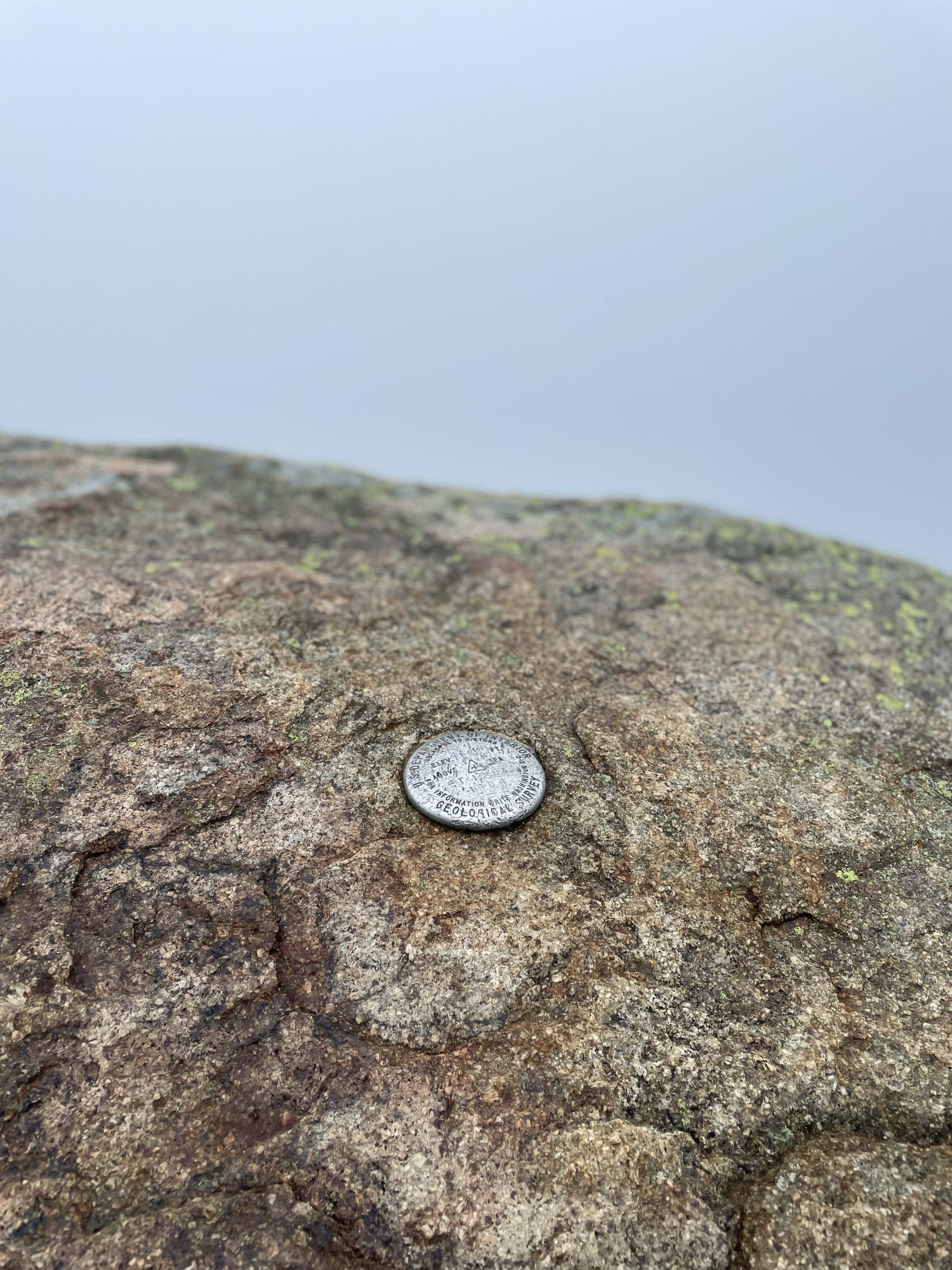
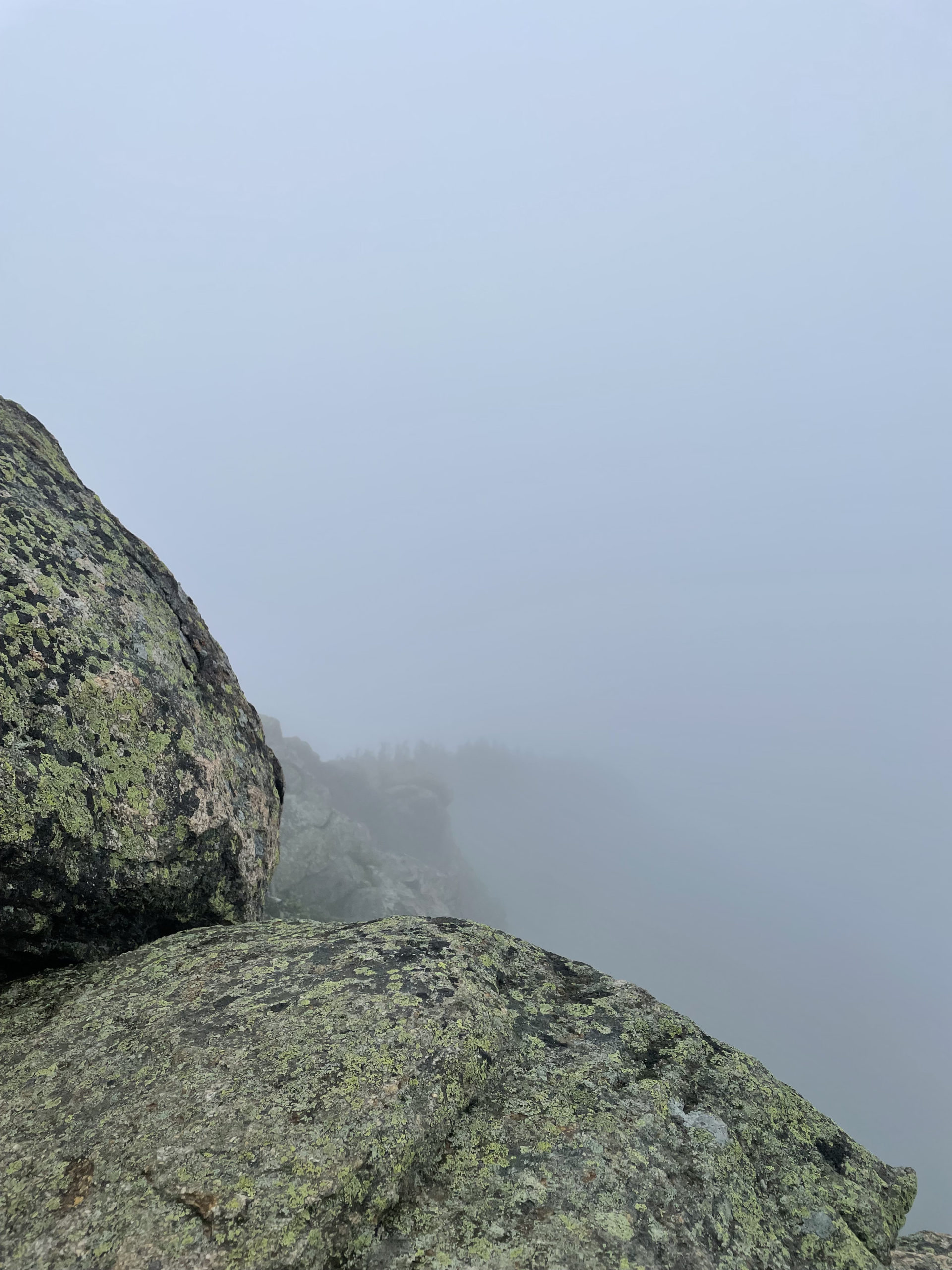
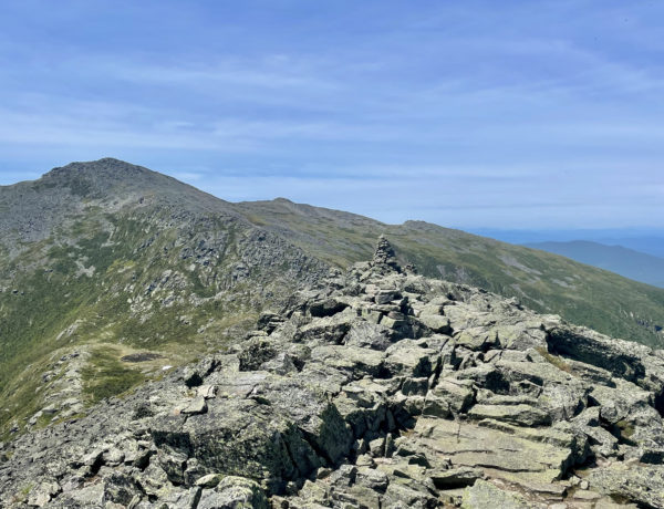
The foggy day didn’t offer much for views, though even through the mist the drama of the ridge was apparent. Massive cliffs tower overhead as you descend onto Franconia Ridge Trail to traverse across the col to Mt. Liberty. There are several ups and downs along the ridge and a steep push up some boulders to reach the rocky summit of Mt. Liberty. Equally foggy and viewless, this is a summit I’ll revisit on a clear day. Once was enough on the Flume Slide, but there are plenty of other ways to climb up to Franconia Ridge and incredible views from all the peaks.
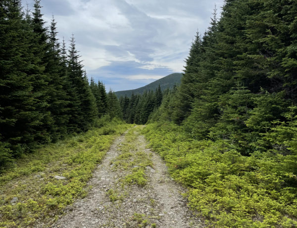
From the summit of Mt. Liberty, I headed down Liberty Spring Trail. The initial descent is aggressive but well-managed by a series of switchbacks. The steepness continues after the switchbacks with some rougher footing before leveling out at the old logging road. The path is a leftover from the former Whitehouse Mill, which operated on the Pemigewasset River in the 1890s. Thanks to the abundance of rivers in the White Mountains, there are many sites where the remains of water-powered mills can be found.
Worth noting, removal of historical artifacts (i.e. rusty mill scraps and the like) from federal lands without a permit is against the law. So, imagine the past, take some photos, and leave it how you found it.
The logging road crosses a fairly major-but-manageable brook before traveling easily back to the Franconia Notch bike path. For those who bike or enjoy walking on pavement, this path is really special. According to various online sources, it is 8.8 miles end to end or 20 miles round trip (don’t ask me how that math works), and it is free to use. There are options for bike rentals in the area too. Using the bike path is a way to visit several area attractions without having to deal with parking. Flume Gorge, The Old Man of the Mountain Profile, Profile Lake, Boise Rock, The Basin, Cannon Mountain Aerial Tramway, and Echo Lake are all on or near the path. Some of these places do charge an entrance fee, but it’s generally minimal.
Summit lesson: Taking a ride down the Flume Slide was a humbling reminder that the mountains will always win. Especially when they’re wet. My scrapes and bruises were minor, but the fall could have been a lot worse. Even on a tight hiking schedule, always proceed with caution!
Liberty and Flume Loop
| Total elevation: 4439 ft, 4318 ft | Elevation gain: 3576 ft |
| Mileage: 9.3 miles | Alpine exposure: yes, at summits |
| Terrain: logging road, rocks & roots, ledge, water crossings | Challenges: steep, very dangerous ledge |
| View payoff: amazing | Dogs: no |
Recap: Flume Slide Trail is one of the most challenging routes in the White Mountains, thanks to steep, smooth ledges that are almost always wet and slippery. If you’re hiking this trail, use extreme caution, take your time, and do not descend it. The rest of the loop is lovely and typical of the Whites: a nice ridge traverse, some steep rock steps, sections of rough footing, and a relatively easy stretch of old logging road. Franconia Ridge at and between the peaks offers beautiful views in every direction. While many hikes rated as ‘hard’ can be managed by most people in relatively good shape (with enough time, water, layers, and food), I wouldn’t recommend this one to a hiking beginner. The risk of falling and serious injury on the slide is significant, and there are other, less scary ways to enjoy Franconia Ridge. But if you’re experienced and up for a challenge, this trail is a must!
No Comments