Grafton Notch Loop Trail
Grafton Notch Loop Trail & Old Speck Mtn. | 40 mi | 4170 ft
A few years ago I wrote an article for Maine Women Magazine about Monson Arts, an artists residency program in the small town of Monson, Maine. In researching for the article, and later visiting the town, I learned Monson is also the final provisioning stop for hikers on the Appalachian Trail. After Monson, hikers enter Maine’s 100 Mile Wilderness, the last stretch of trail before Baxter State Park and Mt. Katahdin, the summit of which is the northern terminus of the AT.
Even before I was hiking regularly, I was intrigued by the Wilderness. All those miles. No bailouts. No cell service. No way in or out except to keep walking. Nothing but woods and water and the wild. I was sure it was beautiful every step of the way, but the idea of traveling through such a vast stretch of wilderness seemed like an impossible goal. I thought: There is no way I could do that. It’s too long, too remote, too challenging, too scary. There would be bears.
The 100 Miles lingered at the back of my mind as I started ticking 4000 footers off my list. I was doing things I didn’t think I could do, like climbing Mt. Washington alone and pushing myself to finish longer trails, even when I didn’t want to. I’d started rock climbing regularly and meeting more like-minded people who didn’t think my outdoor endeavors were insane. Slowly but surely, hiking the 100 Mile Wilderness became a goal.
Then I met Dan at Saltpump, the rock gym where I climb. He had thru hiked the AT in 2017, finishing it in five months. He’d also summited all but one of the 4000 footers in New Hampshire. When I told him about my goal, he said, “The 100 Miles is beautiful. You just have to be prepared.” I asked him if he’d help me prepare by imparting knowledge. He said yes, and that was that. The goal solidified into specifics: Hike the 67 New England 4000 footers in one year, ending with the 100 Mile Wilderness and Katahdin as my final summit. This meant not only hiking a lot of peaks in a relatively short period of time, but also completing several thru hikes to prepare for the eight days I’d be spending in the Wilderness.
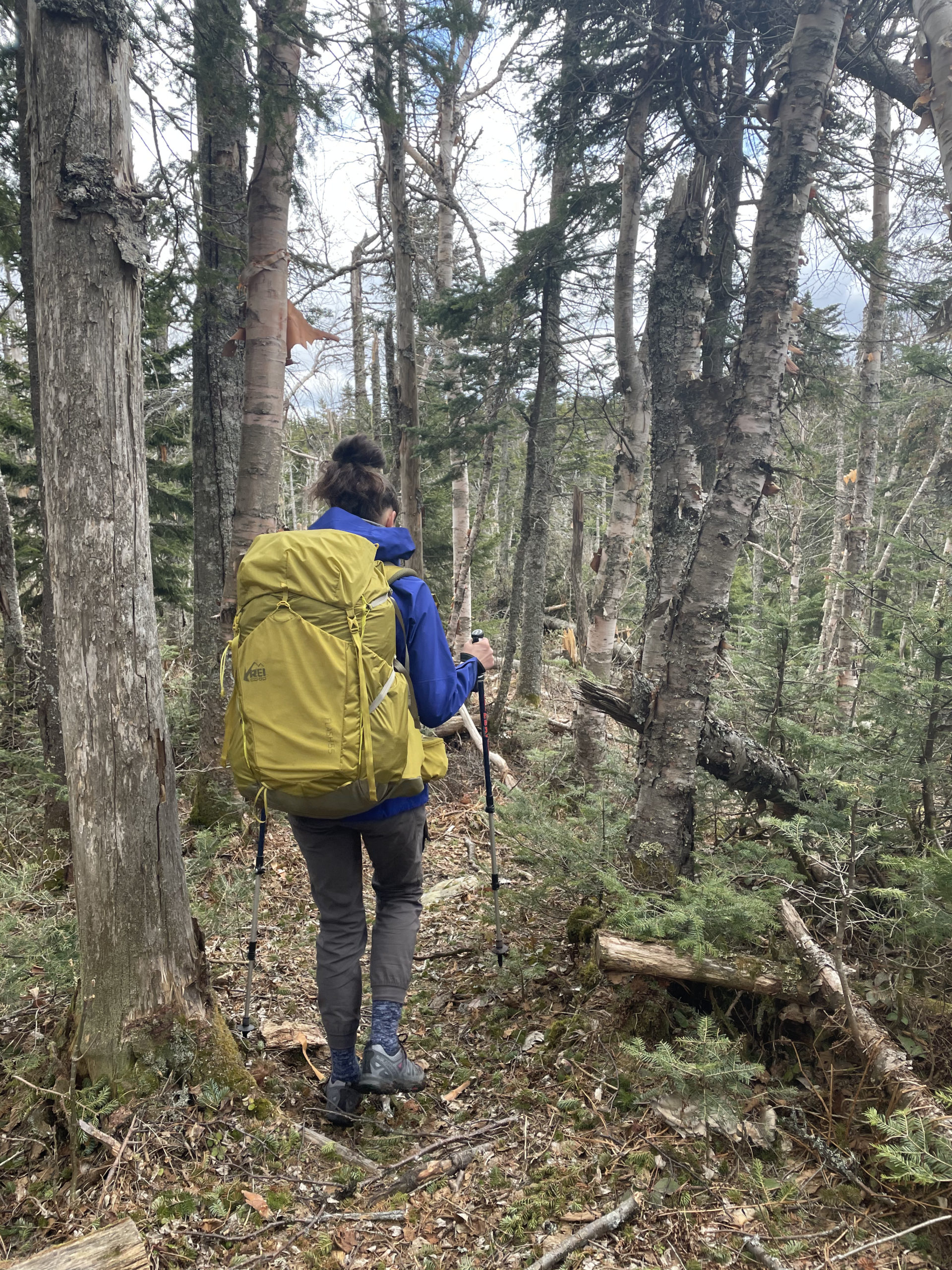
The first order of business was buying ultralight backpacking gear. The three major expenses are the pack, a sleeping bag, and the tent, followed by the sleeping mat. While I have hiked with both Osprey and Gregory bags, I ended up with a Flash 55L bag from REI that weighs under 2lbs. I splurged on a Big Agnes 2 person ultralight tent, a REI Magma 15 degree sleeping bag (men’s, because the women’s was too short for me), and a NEMO sleeping pad. Other essentials included a water filter and cooking gear (fuel, burner, and cup for boiling water).
For my first overnight thru hike I really wanted to tackle the Pemi Loop. It’s a 30+ mile trek through the Pemigewasset Wilderness, and it hits twelve 4000 footers along the way. Seemed like a win-win to me — practice backpacking AND check a dozen peaks off my list.
Dan said no way in hell.
“You already know you can handle elevation,” he said. “What you need is endurance. Big mileage days carrying a heavy pack. The Pemi is too hard to start.”
I was tempted to argue but kept my mouth shut. He was, after all, my self-appointed hiking coach.
In retrospect, he was absolutely right. The Pemi would have killed me.
Dan chose the Grafton Notch Loop Trail. It is 38.6 miles and passes over Old Speck, a 4000 footer I’d already done. There are several slightly smaller peaks along the way in the Mahoosuc Region above Grafton Notch and Bear River Valley: Puzzle Mountain, Baldpate, Sunday River Whitecap, Sargent Mountain, and Bald Mountain. ME Rt 26 cuts through the center of the trail, and Dan suggested leaving a car at each crossing (north and south) in case we needed to bail out.
I let him know we would not be bailing out. Whether or not he believed me was unclear.
We met at the southern trailhead on a Friday afternoon. Dan reviewed all my gear… and made me leave behind several articles of clothing. I drew the line at underwear. Most of the conversation was about layers. The overnight temp was heading for the low 30s with daytime highs in the 70s. Top layers included tank top, thermal layer, fleece layer, puffy layer, and rain layer. Bottoms were hiking pants, shorts, long johns, and three pairs of socks. Hiking shoes (not waterproof, because waterproof shoes take a lot longer to dry out if they get wet inside) and camp shoes (ie Crocs).
The rest of the weight in our packs was food. We both had two Good To Go dehydrated dinners (actually very tasty AND made in Maine), oatmeal packets, bagels, peanut butter, jerky, Pop Tarts, and a lot of ‘hand snacks’ as Dan called them, meaning food you can grab from your pockets without taking your pack off.
Who has right of way on the tail?
Step aside for the hiker coming UP the tail. The exception is if a large group (like 8+ people) is coming down, in which case the smaller group heading up steps off the trail.
Although we didn’t leave a car at our halfway point (no bailouts!), we did leave a cooler with our Saturday lunch stashed inside. This may have been Dan’s best idea of the whole hike. He locked the Yeti to a tree hidden from the trail, and, fast-forward 24 hours, it was the only thing that kept us going Saturday afternoon.
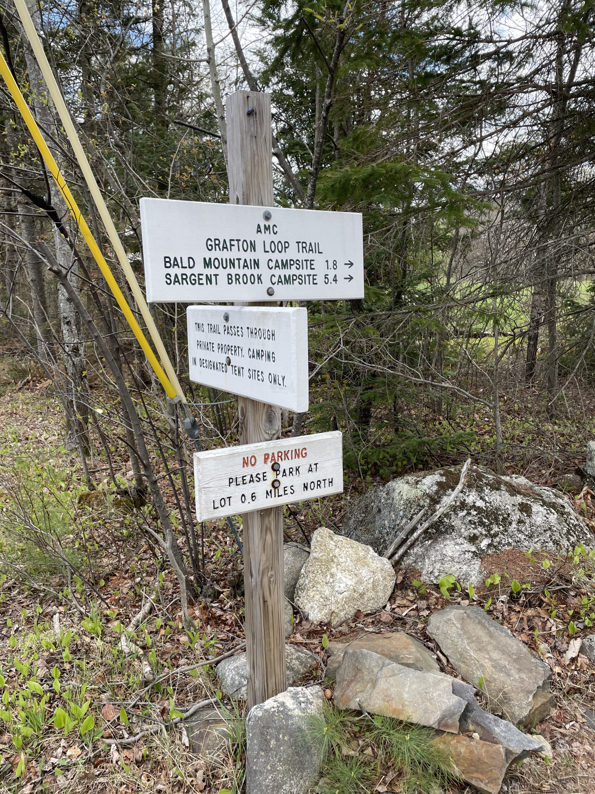

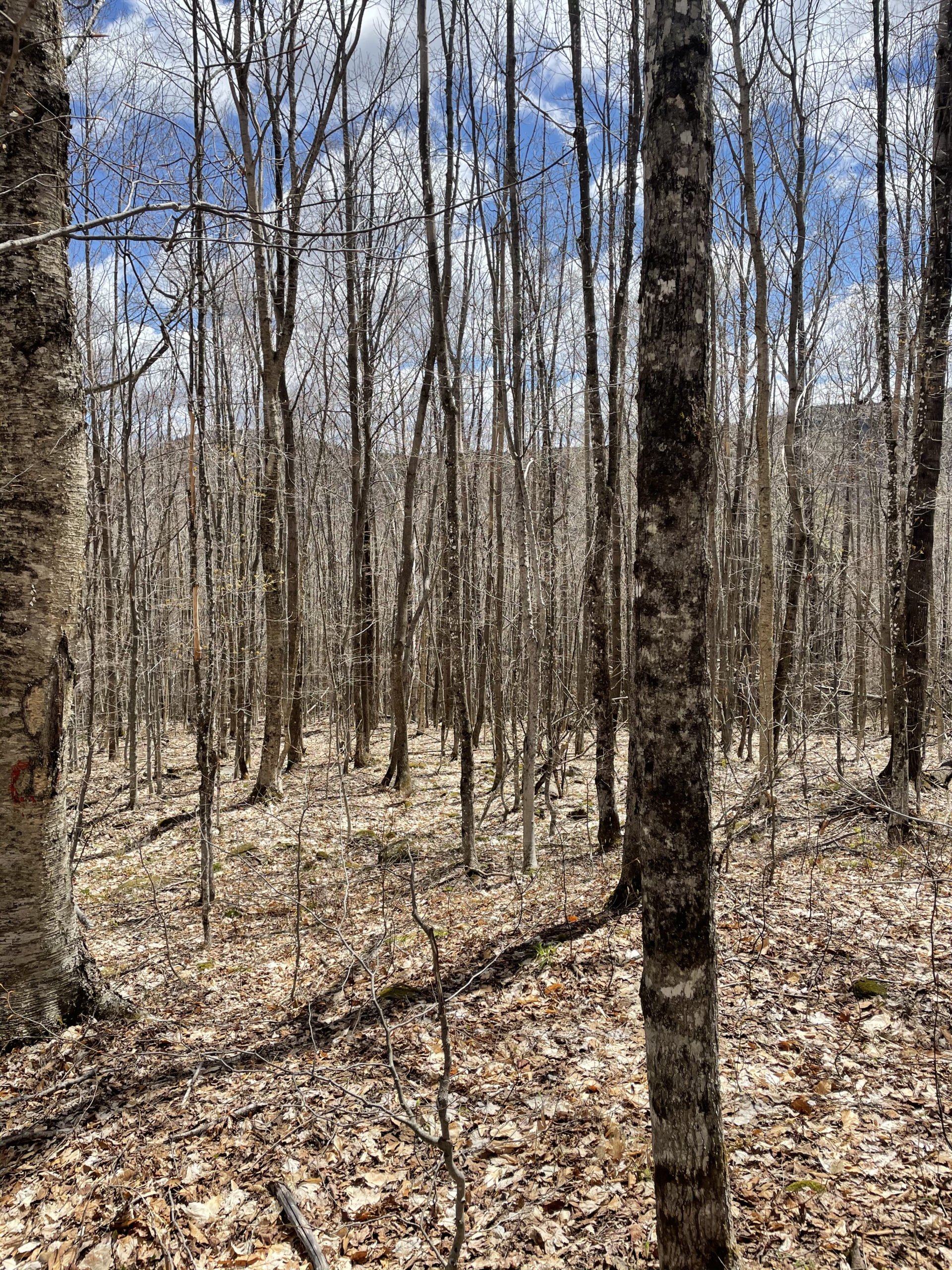
Our hike started with a ½ mile southbound walk along Rt 26 after leaving our cars at the southern trailhead. We’d decided the short road walk was something we wanted to get out of the way at the beginning of the hike, not save for the end when we were tired and even less excited to walk on the road. The trail entrance was well marked and led us across a field before entering the woods. We crossed Bear River shortly after 3pm and began to climb.
The first leg of the trip was a 5.4 mile hike to the Sargent Brook Tentsite. We climbed Bald Mtn (2085 ft) and Stowe Mtn (2730 ft) before reaching Sargent Brook, the water source for the tentsite. The site had four tent areas (level ground and a small stone fire ring at each), a pit toilet (missing it’s door), and a bear box for storing food. We chose the spots with the driest ground, and Dan advised me to also look up and make sure there weren’t any loose tree limbs hanging over the spot where I put my tent. We were set up and starting a fire by 7:30pm.
Fast forward to bedtime, my first night in the woods. I mean really in the woods, not at a campground. I didn’t get a ton of sleep, but I didn’t expect to. I felt very small in a very big forest, and while it’s extremely quiet, it’s also disturbingly loud whenever a twig snaps. And every snap is probably a bear. Also, all those clothing layers I listed? I wore them all to bed. It was barely thirty degrees overnight. Needless to say, I was up early, figuring out how to repack my backpack (lots of smooshing and shoving things around).
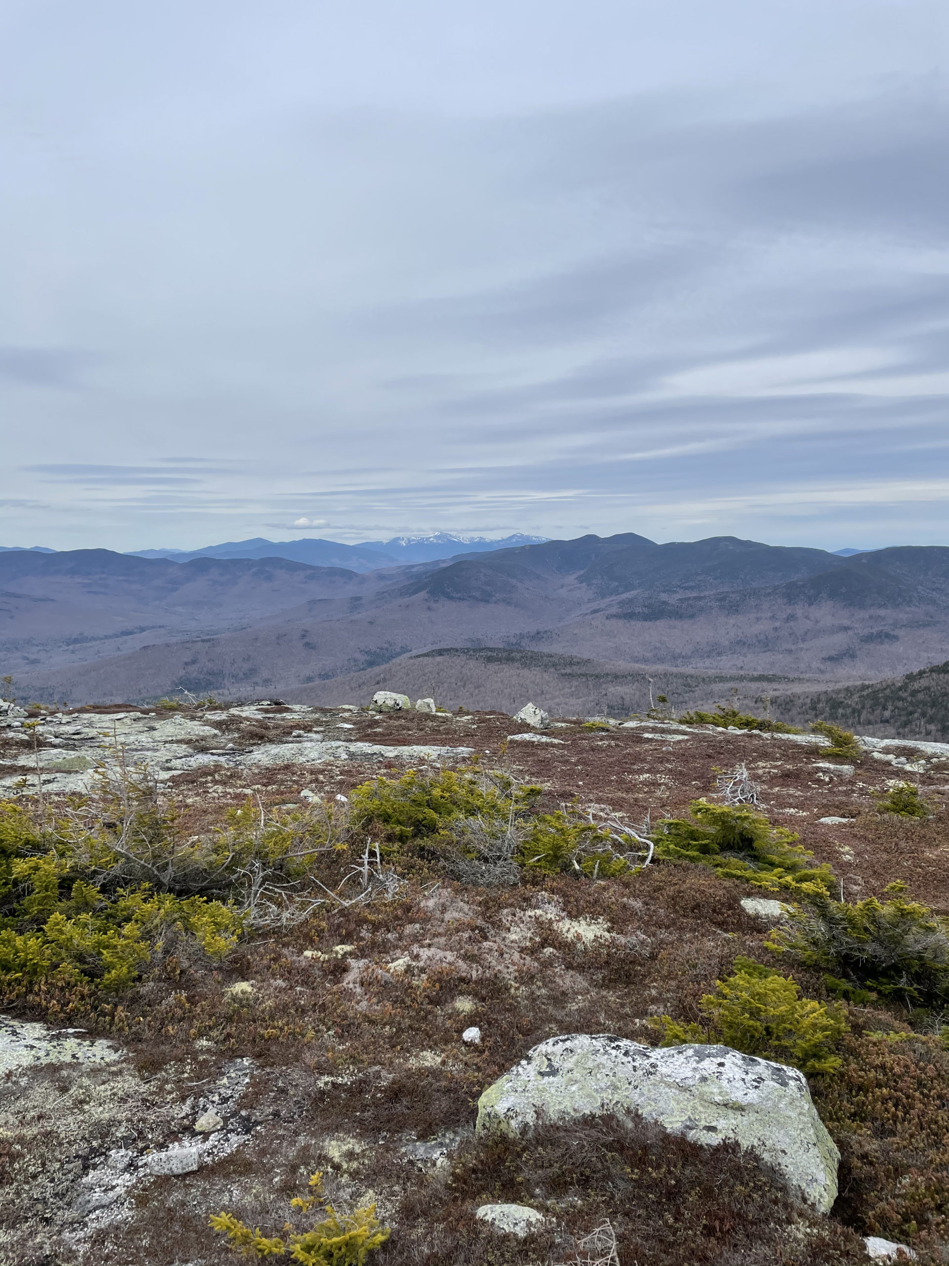
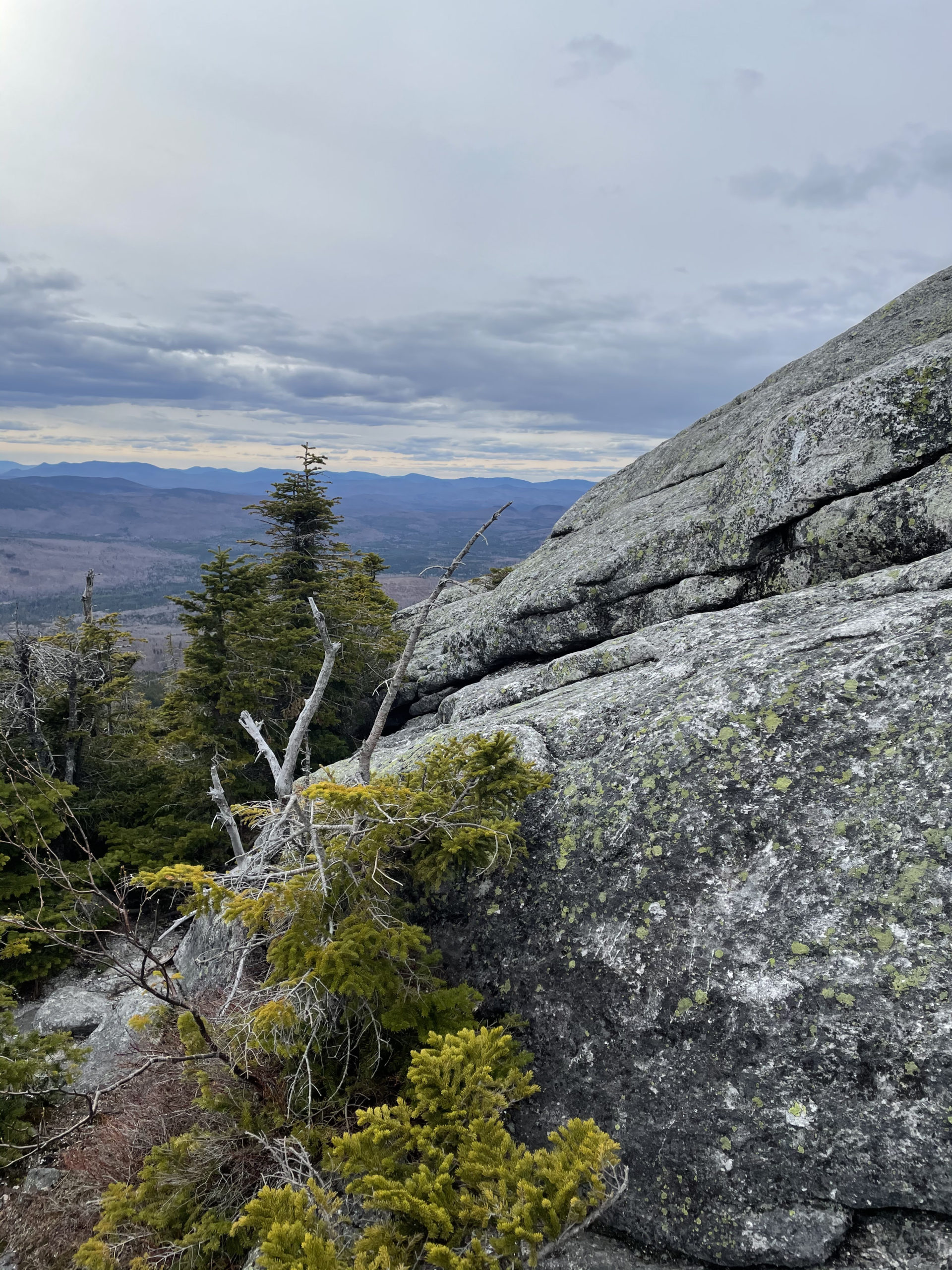
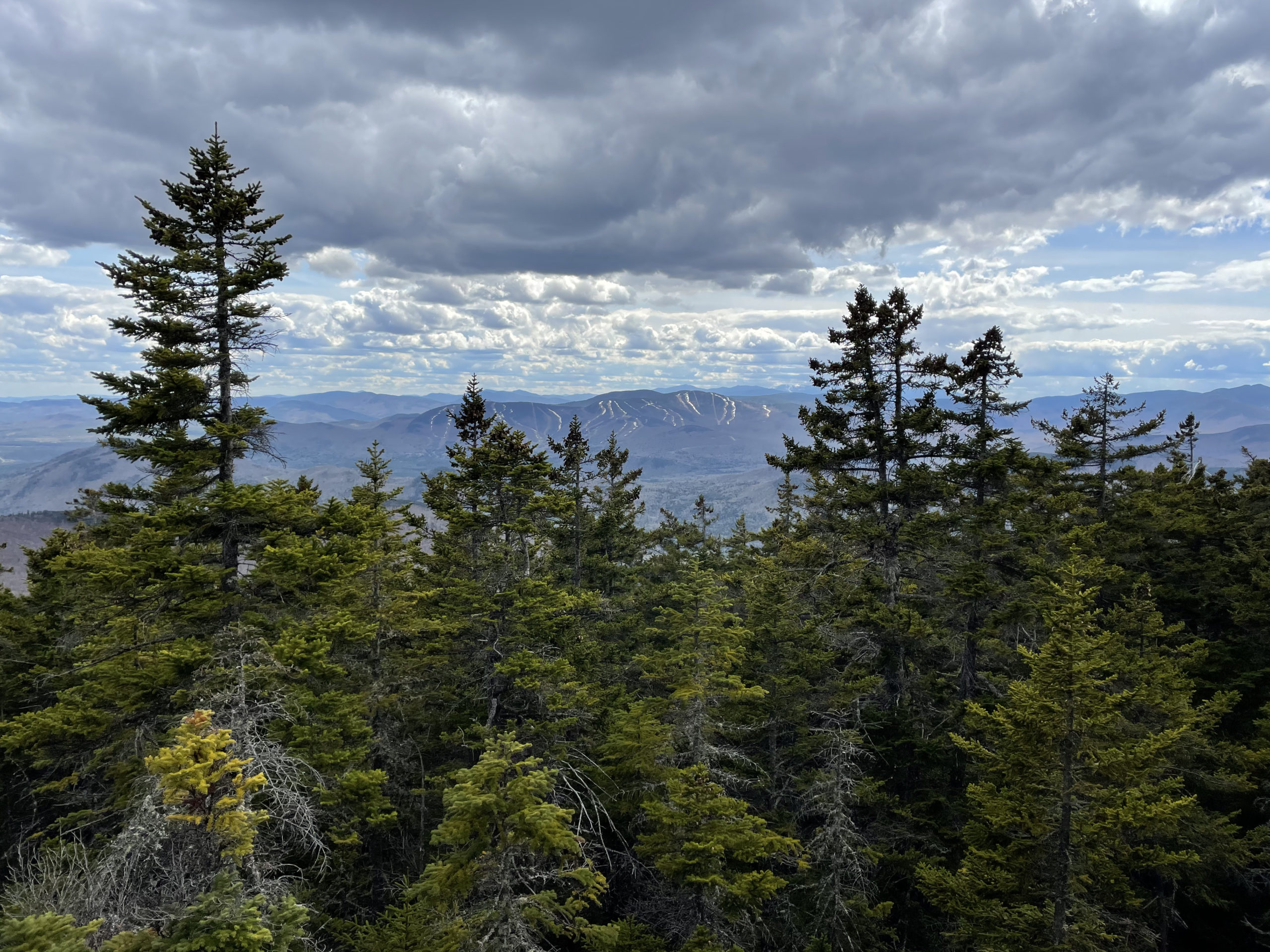
We left the camp at 7:15 after instant coffee and oatmeal, heading northwest toward Old Speck. We were at the top of Sunday River Whitecap (3335 ft) within an hour. The summit had a great view of Sunday River (the ski area) and Mt. Washington in the distance.


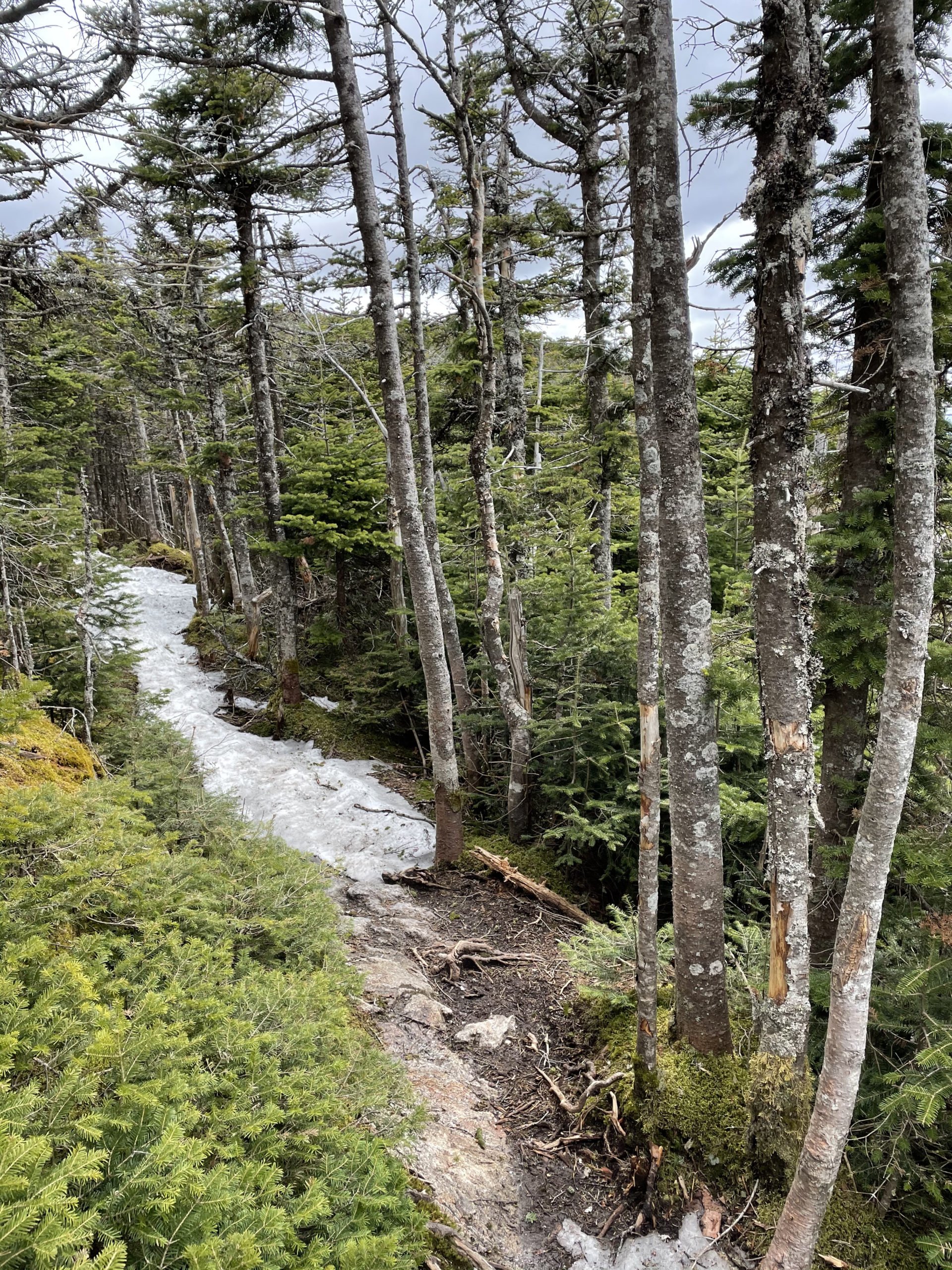
Our next big push to Old Speck was… well, it was tough. It was about 7 miles, a lot of elevation gain, and there was still snow at the top of the trail (we both wore MIRCOspikes). We took a short break at the summit, but our lunch was still 4 miles away, locked to a tree at the Rt 26 AT crossing. By the time we made it to the cooler, we had been hiking for 8 hours and had traveled 11 miles. We’d underestimated our arrival at the lunch spot by about 2 hours, largely due to the snow we weren’t counting on.
This was our bailout opportunity. We didn’t have a car, but Dan said we could hitchhike back to the southern trailhead. I knew he didn’t want to stop. He was offering in case I was dying inside. I suggested we eat and then assess.
During our lunch break, we both consumed over 1000 calories, including multiple sandwiches, a whole can of Pringles, Gatorade, Pop Tarts, and pickled eggs. The good news was, we were ready for another push. No bailouts.
Our choices at that point were to hike to the Baldpate Lean-To (2.3 miles away) or continue on to the next tentsite (over 6 miles away). We reached the first option with plenty of energy… but did we have enough in our tanks for another 4 miles, putting us at camp after 8pm? After some debate, Dan said if we were exhausted, we’d just find a spot in the woods and pitch our tents there. True backcountry camping.
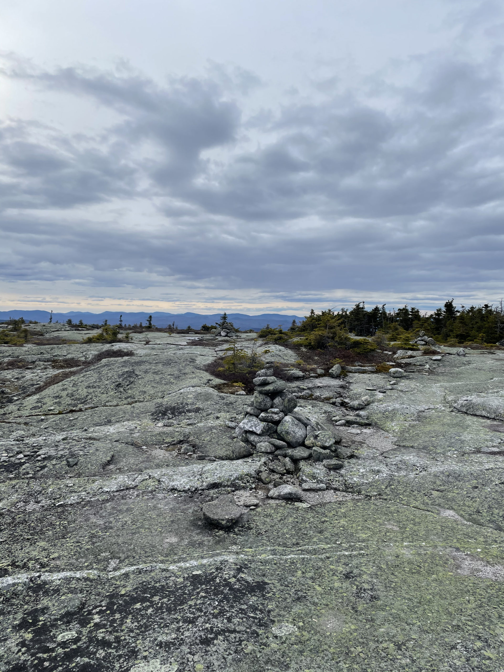
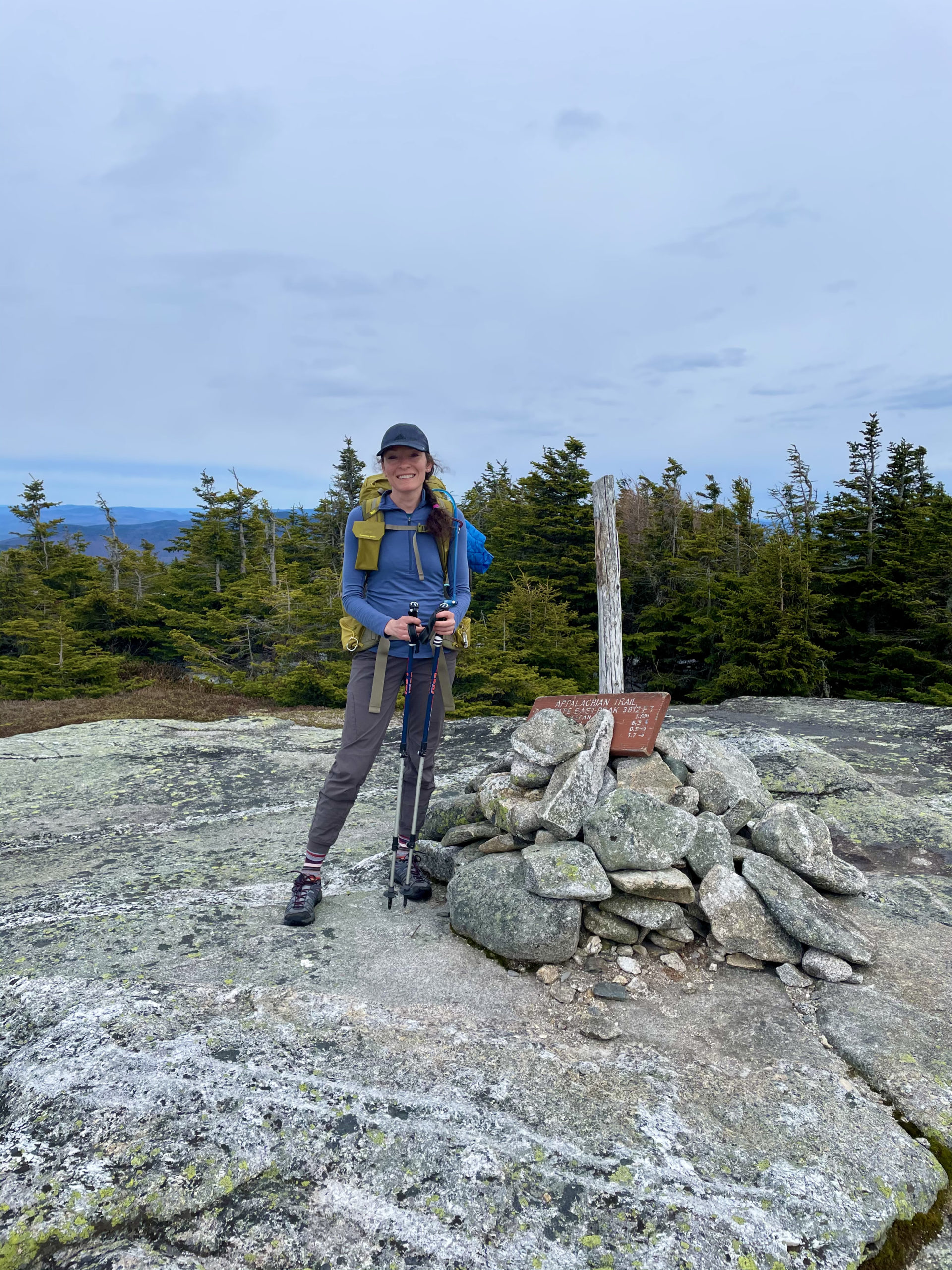
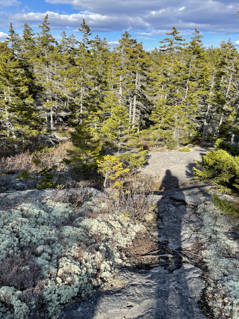
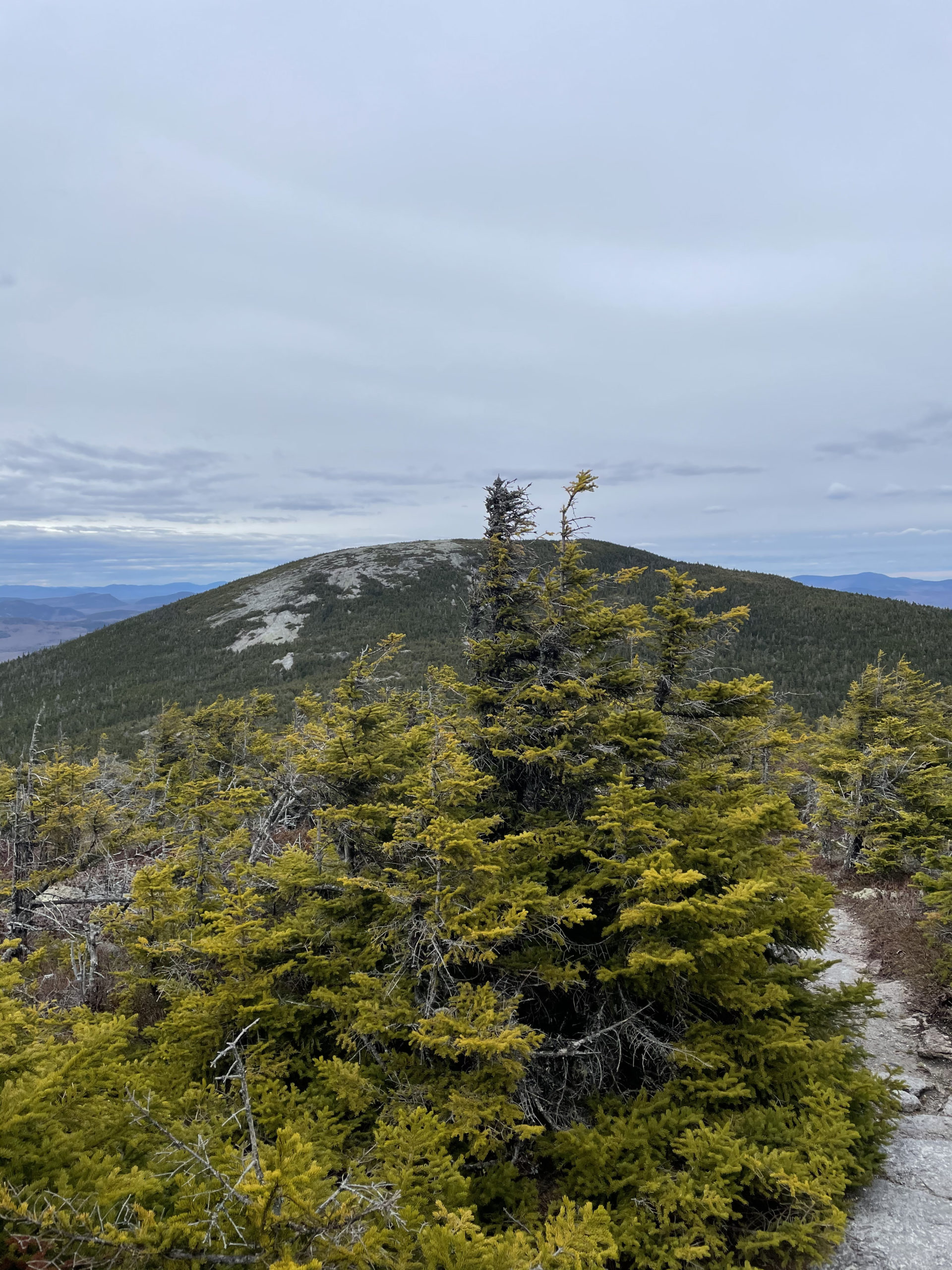
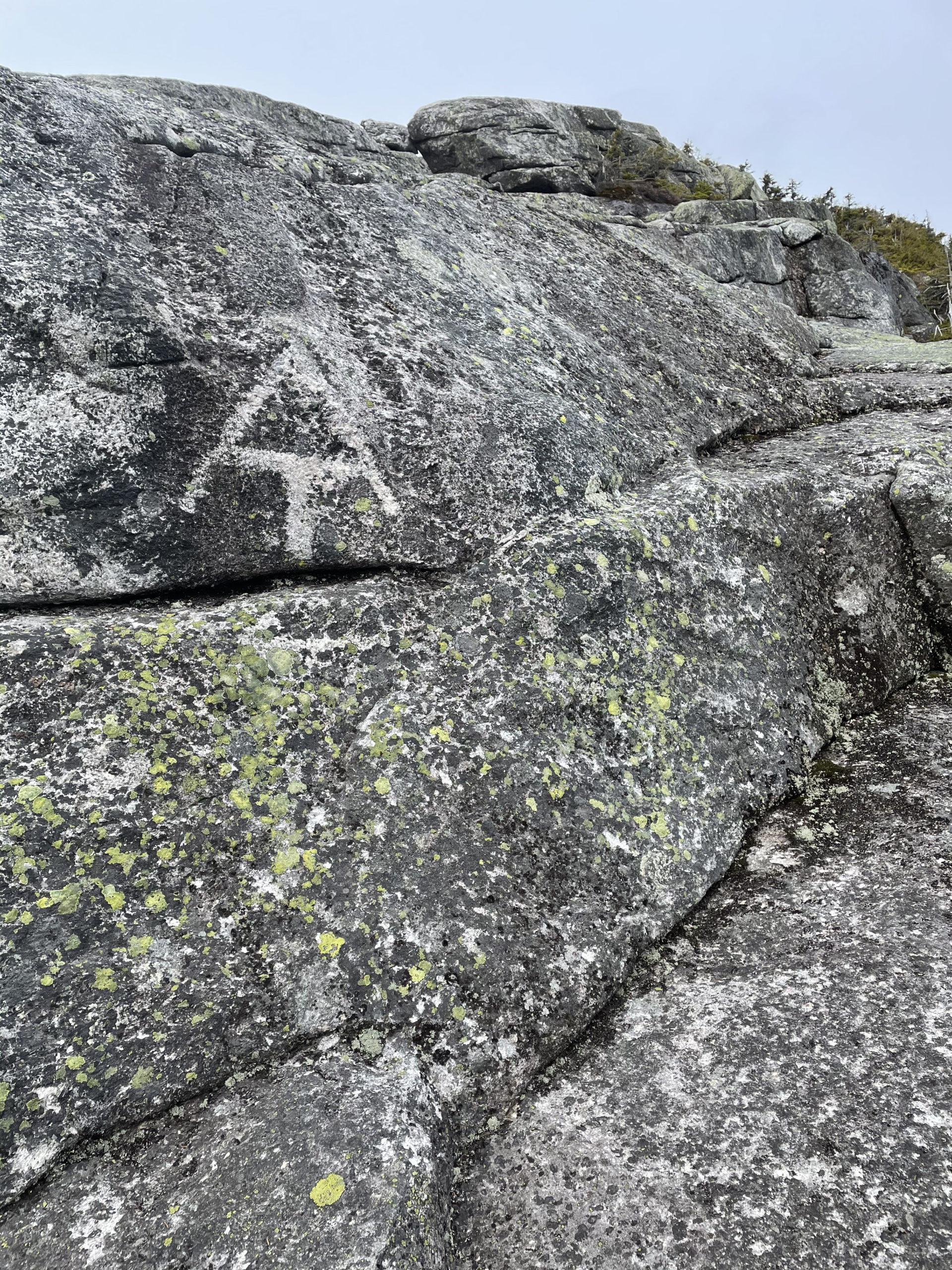
We continued up Baldpate Mtn, which I highly recommend as a day hike. The East Peak (3790 ft) is round and bare; it’s like climbing a giant boulder. The views are stunning too. We took a quick break for some hiker portraits and a map check. We could see a tiny spur of a trail 2.3 miles from where we were, and Dan wondered if it was a campsite that had closed. There was a marked tentsite 1.6 miles beyond the spur. At this point it was 6 o’clock, and that extra 1.6 seemed EXTRA extra.
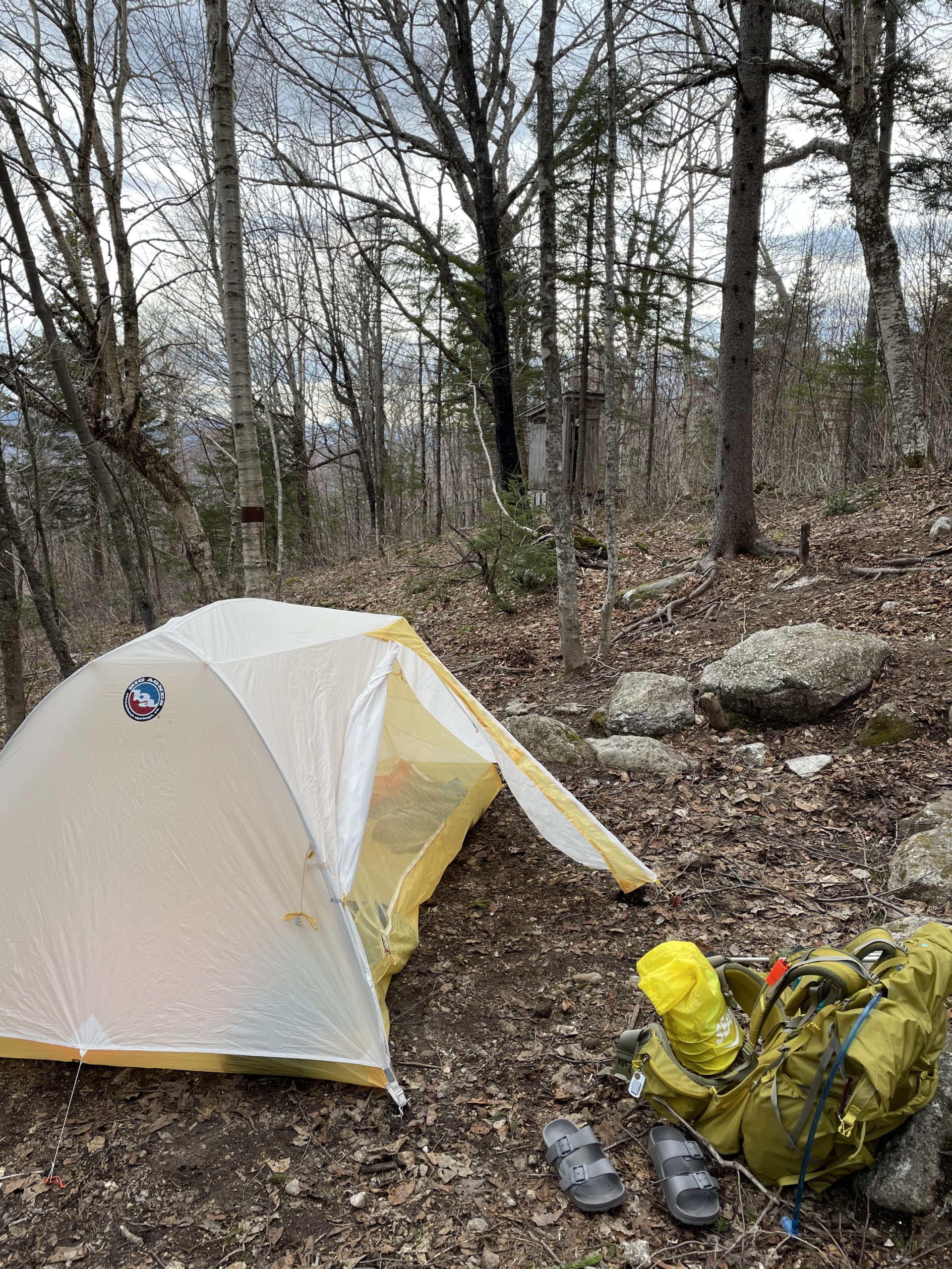
At the 2.3 mile mark, we found the spur and a tentsite. There was no signage saying it was closed; on the contrary, the trail sign marking the East Baldpate site was still up. We both needed water, so the decision was made. We hiked down to a beautiful cascade, filled up our water, and had our tents pitched by 8pm. We were both too exhausted to make a fire. Dan boiled water for our dehydrated dinners and we were asleep before 9.
I slept just fine on night two. It turns out when you’ve hiked 18 miles and set up camp, you’re too tired to worry about bears.

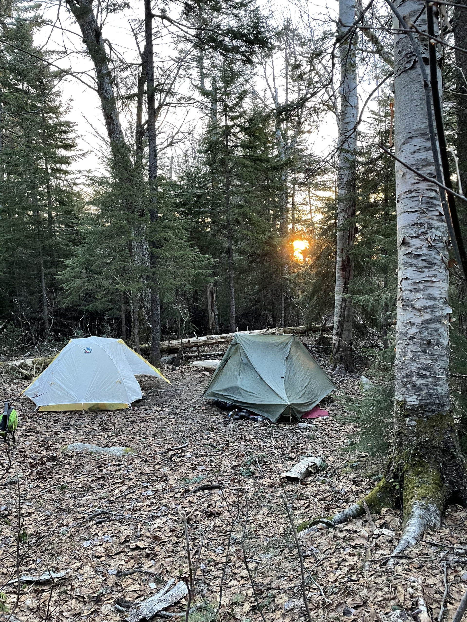
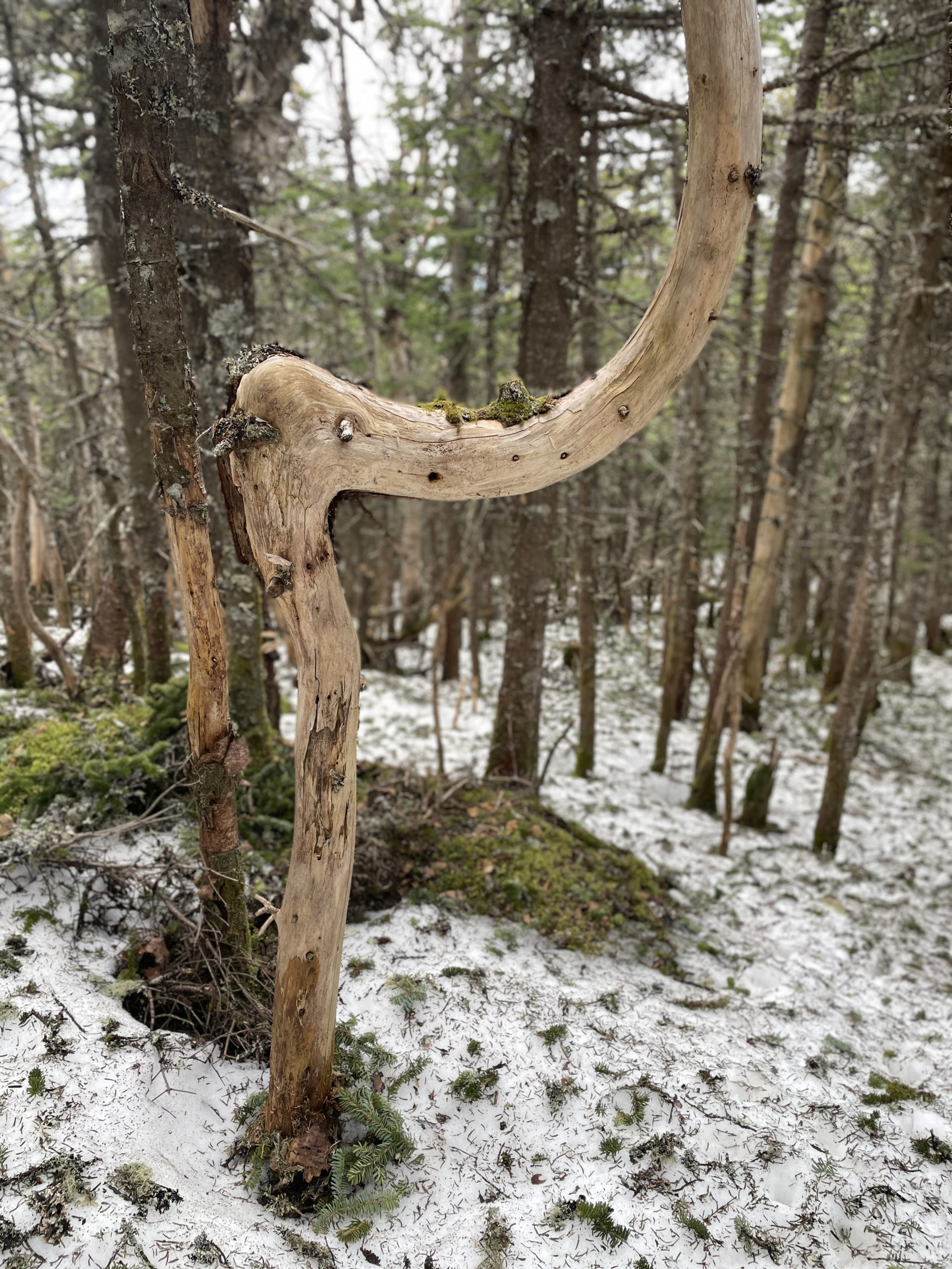
The next morning we were up at 5:30, watching the sun rise through the trees behind our tents. With 15 miles between us and our cars, we didn’t waste any time packing up. We also realized, after visiting the outhouse, the reason for the campsite closure. The water table had become too high under the privy, risking human waste running off into the water source. Eww.
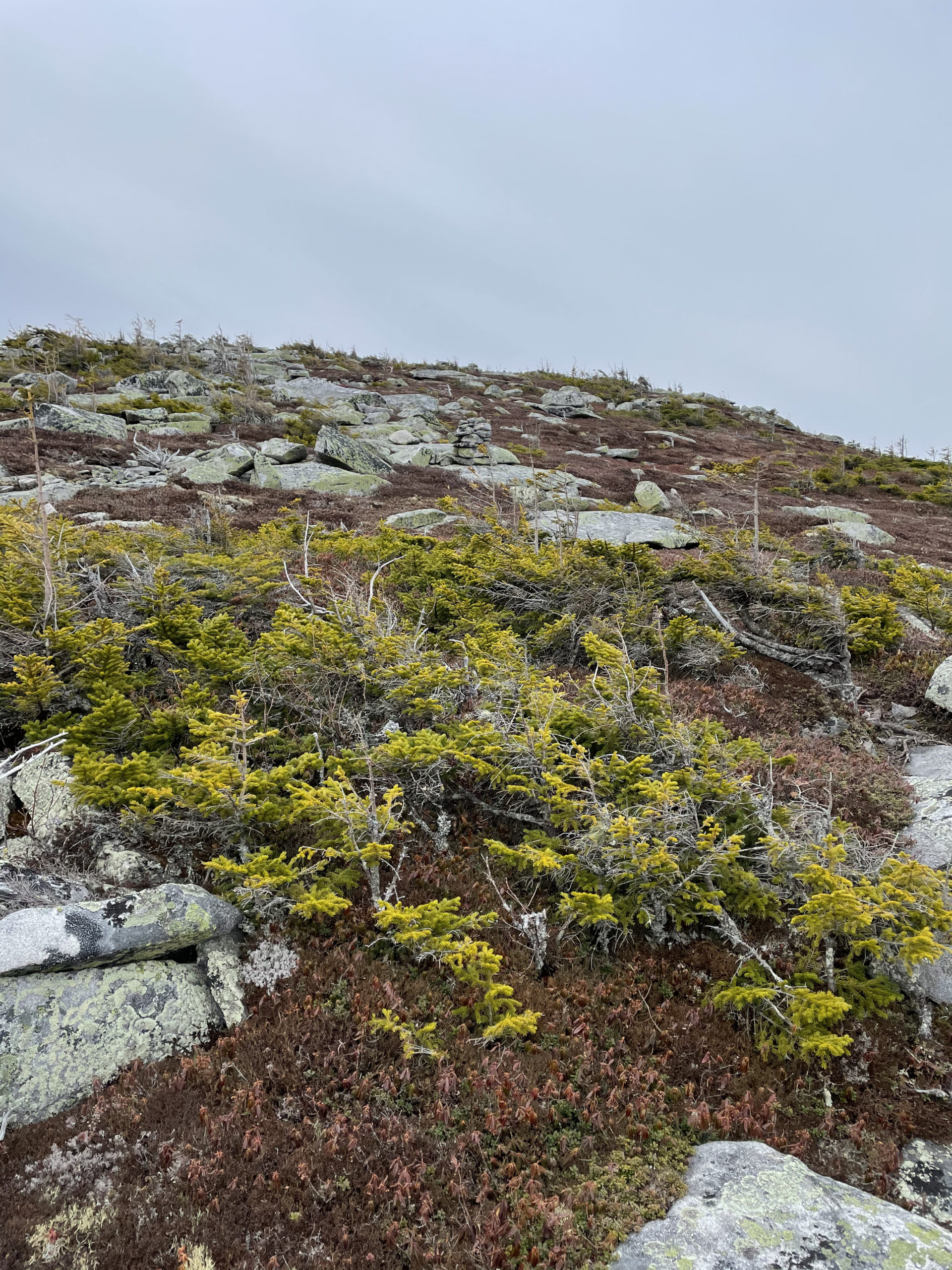
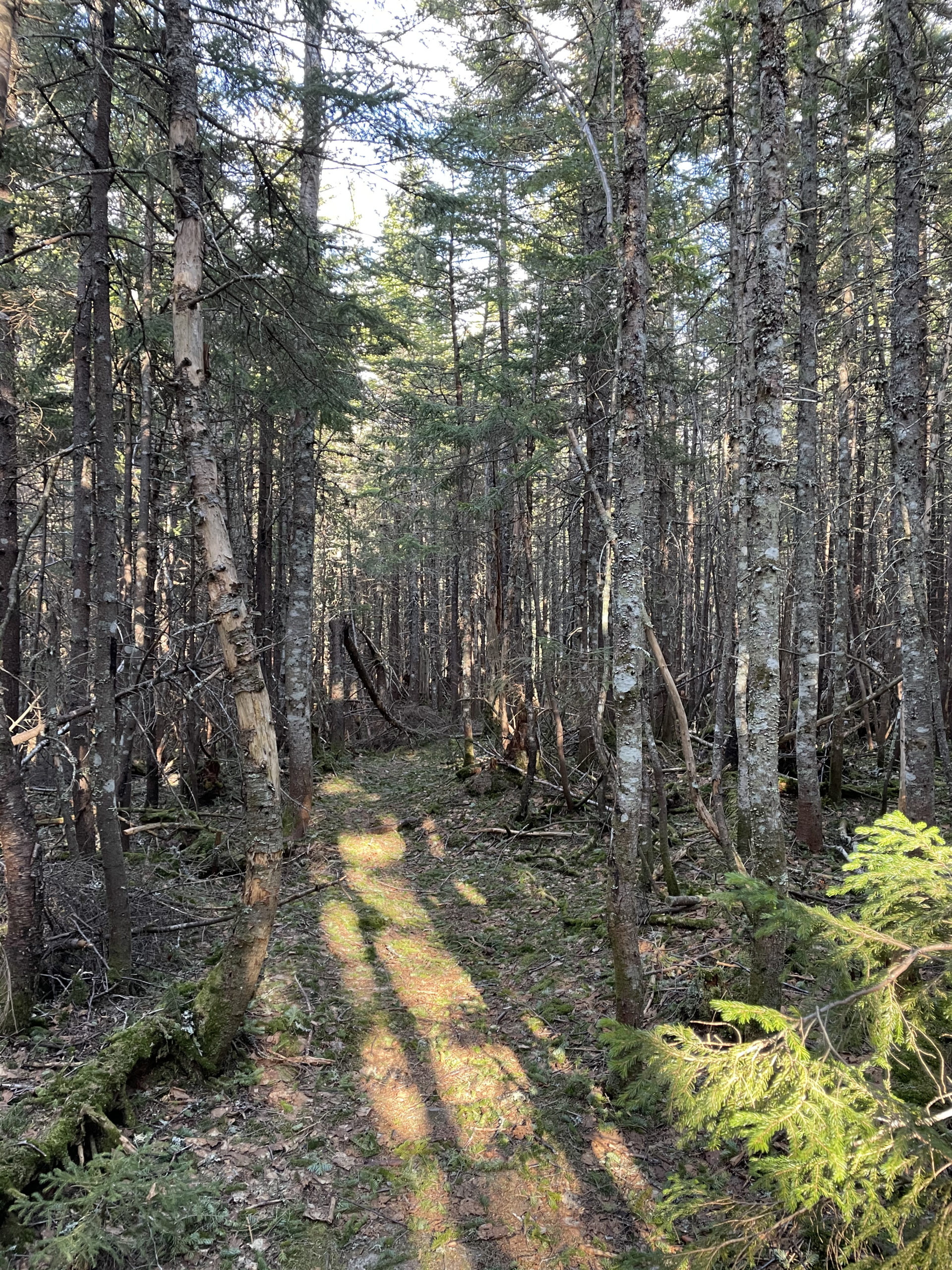
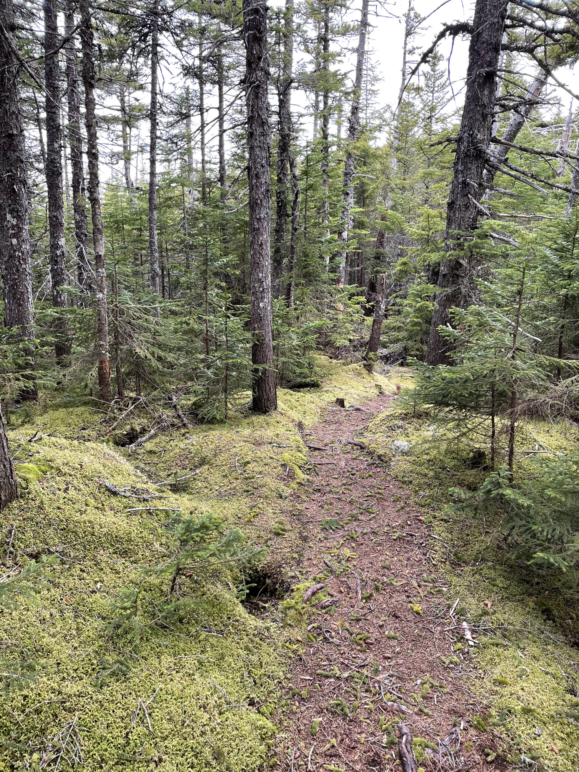
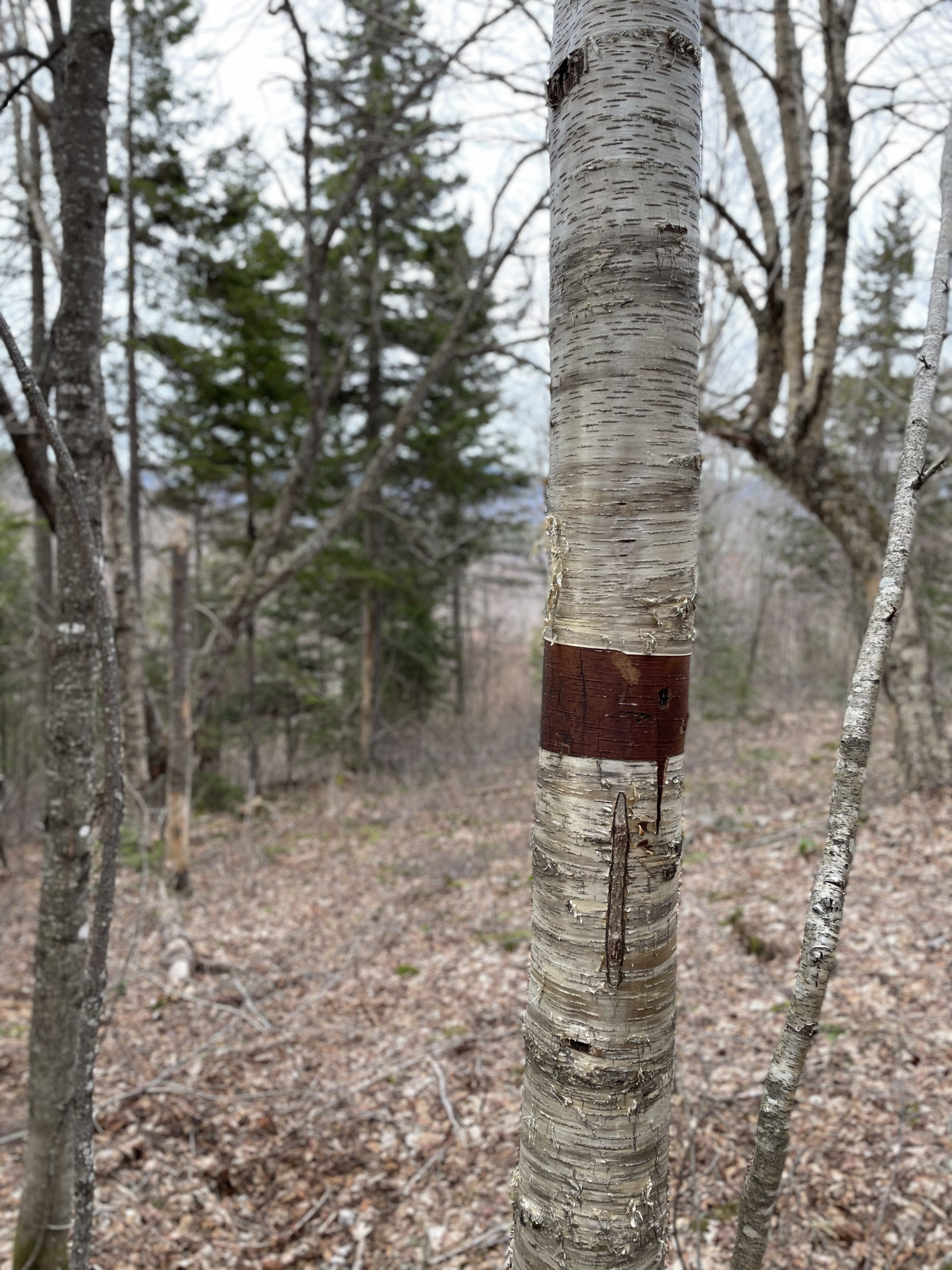
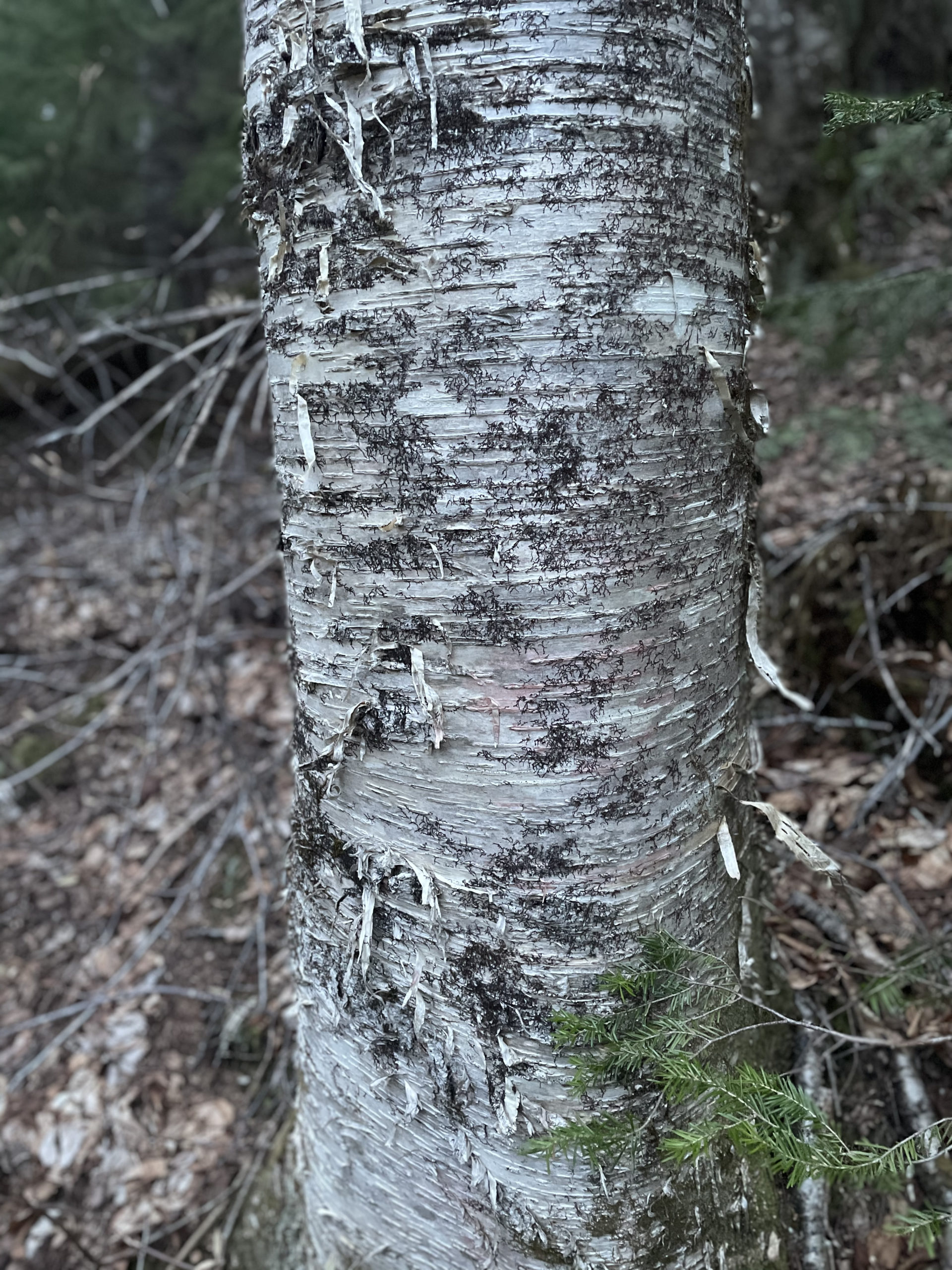
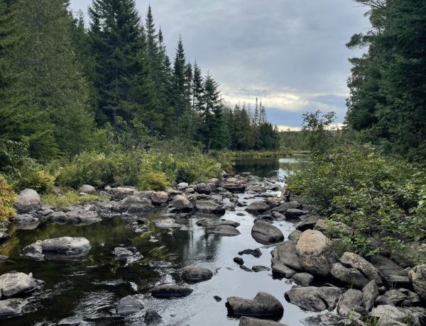
The first few miles of trail Sunday morning were woodsy with gentle elevation. Wight Brook traveled alongside our path for about a mile, flowing over rocks and waterfalls and creating swimming pools for hotter weather. In the wooded areas we saw trees scratched up by deer trying to shed their antlers and more moose poop on the trail than I’ve ever seen in my life.
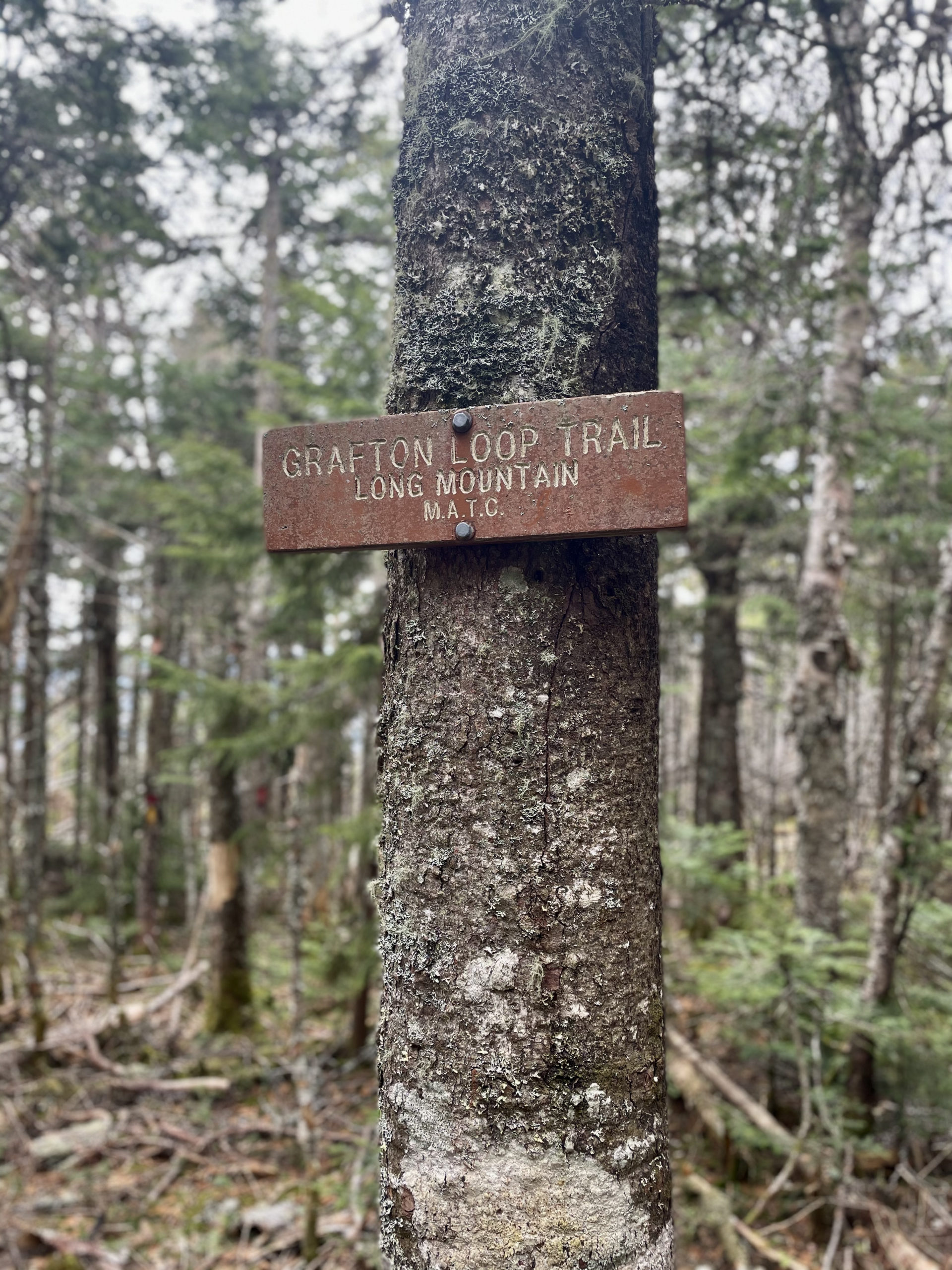
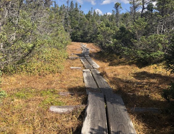
After climbing Long Mtn (3021 ft) we started the long trek to Puzzle Mtn (3142 ft), 5.5 miles south. After descending Long Mtn the terrain leveled off quite a bit, and we stopped for an early lunch in a sunny clearing. By this time I had a killer shin splint in my right leg… and there wasn’t a single thing I could do about it.
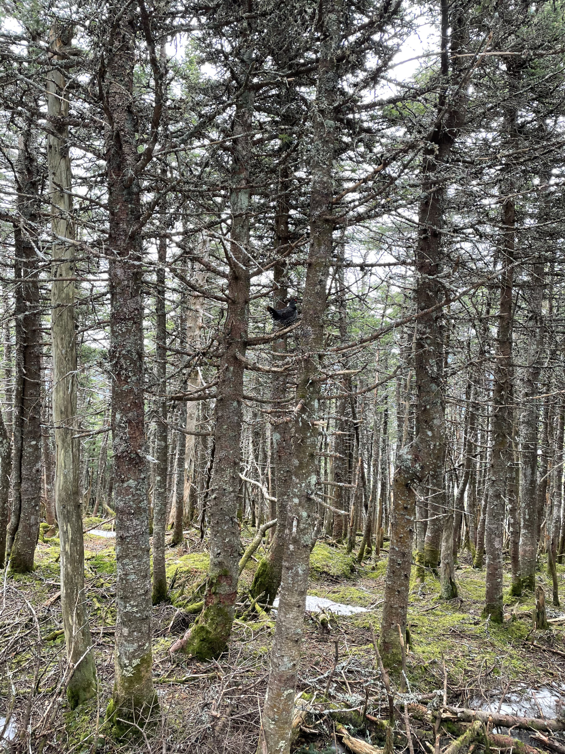
When we came to a flat area with sparse, leafless trees, Dan stopped and looked around. We weren’t lost; the trail was clearly marked. “What are you doing?” I asked.
“Looking for bears.”

He was only partially kidding. “When you come to open areas like this, you have to look at what’s around you. You could easily spook an animal and you’ve got nowhere to go.”
Spotting no bears, we moved on. A minute later, Dan asked, “Do you know what to do if you come across an aggressive moose?” I didn’t. “Drop your pack and get in between trees that are close together, that way the moose can’t charge you.” By way of further explanation, he added, “That’s how they attack. They charge, knock you down, and trample you.”
Noted.
Finally, we reached the base of Puzzle Mtn. By this point we were both getting punchy… and smelly… and tired. We started climbing and the summit seemed close. Then for no good reason, the trail started traversing the middle of the mountain (as opposed to going straight up). The trail also became poorly marked and we lost it, but it seemed fairly obvious which way we needed to go (up). After bushwacking our way up to the summit, we used GPS to find the trail again and headed on what we thought was the cutoff to stay on the Grafton Loop Trail. Fifteen minutes in, we couldn’t tell if the distance felt long because it was, or because we were just so beat. When we reached an overlook and sat to rest, we realized what we had done. Instead of taking the .4 mile cutoff, we’d taken the scenic 1.4 mile Woodsum Spur, adding an entirely unwelcome mile to our day and bringing our total thru mileage to exactly 40 miles.

At that point, all we could do was swear and laugh.
The final three miles were brutal. My shin burned like hell, and although I knew we were close to being finished, it was still a long way to go. When I started hearing the road noise from Rt 26, I felt relieved. In the next second, I felt disappointed.
“We’re almost there,” I said.
“Yeah, I’m getting that back-to-reality feeling,” Dan said.
“It’s weird.”
“I know. This is how I felt when I finished the AT. I didn’t want it to end.”
We came out of the woods at 5pm, tired and stinky and sore and happy, having spent exactly 50 hours on the trail. The feeling of physical and mental accomplishment was profound… as was the urge to turn around and walk right back into the woods. It seemed like, in just over two days, our bodies and brains had started making a shift. An adjustment to what we perceived to be our new normal. Keep walking. Keep breathing. Stay outside. This is what happens when you disconnect and remain disconnected, focusing instead on what is around you and what your body is doing.
Whether you enjoy being in the woods or not, it’s hard to argue against its health benefits. An immense body of research points to an array of positive outcomes resulting from time spent outside, everything from increased creativity and improved memory to decreases in depression, blood pressure, inflammation, fatigue, and cortisol (the stress hormone). This kind of information suggests that time in the woods—or just outside—should be a common occurrence, not a rare treat.
In other words, the hike doesn’t have to end. It’s ‘to be continued…’ as soon as you’re able.
Summit lesson: You can’t stay on the trail forever. You can make time in the woods part of your regular routine. Call it exercise, or therapy, or vacation. Call it non-negotiable.
Grafton Notch Loop Trail & Old Speck Mtn
| elevation: 4,170 ft (Old Speck) & many 3000+ peaks! | Elevation gain: unsure… it’s a lot! |
| Mileage: 38.6 miles (40 if you take the scenic spur) | Alpine exposure: significant on all peaks |
| Terrain: steep sections, wooded trail | Challenges: difficult to navigate, ledges, long |
| View payoff: amazing at all peaks | Dogs: yes… if your dog is trained for long distance |
Recap: The Grafton Notch Loop Trail is a beautiful, challenging, long trek, ideal for a first backpacking adventure. There are hard sections of trail but plenty of easier stretches too. The terrain is varied and there are enough tentsites to break the trip up into several days. Rt. 26 running through the middle of the route is helpful for doing a half loop, or for bailing out if needed. The Baldpates are gorgeous and absolutely worth a trip on their own, if not as part of this loop. Overall, this experience got me hooked on backpacking (as opposed to being a one-and-done). Highly recommend!

No Comments