Killington Peak Loop
Killington Peak 4235 ft
The only thing standing between the 100 Mile Wilderness and me was Vermont. Four days after completing the New Hampshire 48, I drove to the Green Mountains to hike the five VT 4000 footers. I gave myself three days to complete them. In retrospect, it was an aggressive timeframe, in part because the VT peaks are fairly spread out. Only two of the five can be done together (unless you’re on a longer thru hike). Also, I’d been dragging my feet on planning the Vermont trip, mostly because I was less familiar with the state’s camping options. By the time I reserved a campsite, the places around Mt. Ellen and Mt. Abraham (the centrally located peaks) were full. I committed to a lot of driving and reserved a lean-to in Underhill State Park, which is located at the base of Mt. Mansfield, the northernmost 4000 footer in Vermont.
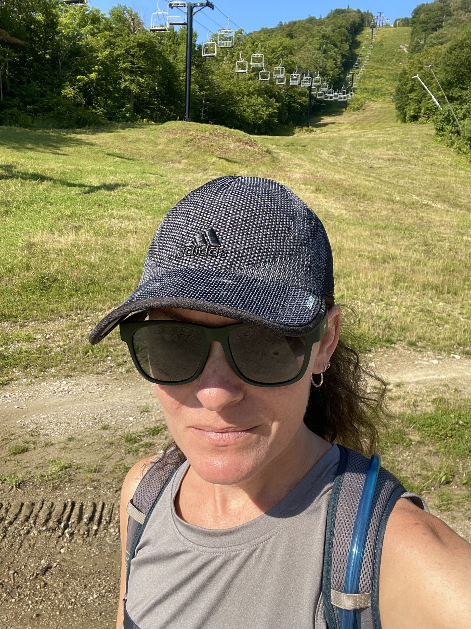
I left Portland at 5:45 am on the last Wednesday in August. The drive to Vermont is beautiful but also long, which was another reason I’d been putting it off. I was parked at Killington Ski Area by 9:15 and hiking before 9:30.
Killington is the second highest peak in Vermont (Mt Mansfield is the highest) and both the Appalachian Trail and the Long Trail cross its summit. It is also a very popular ski area, and the hike I chose took me directly up the slopes.
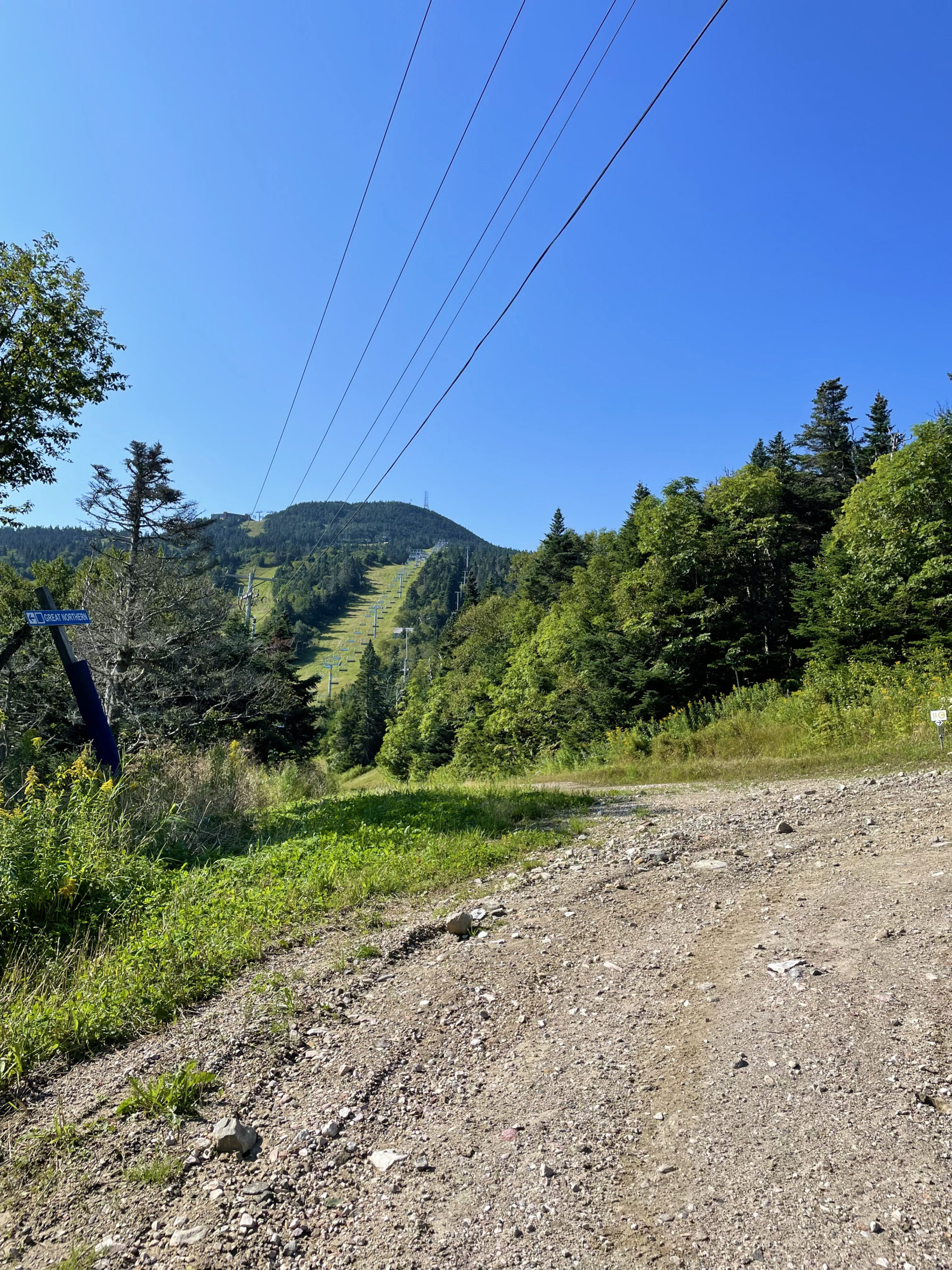
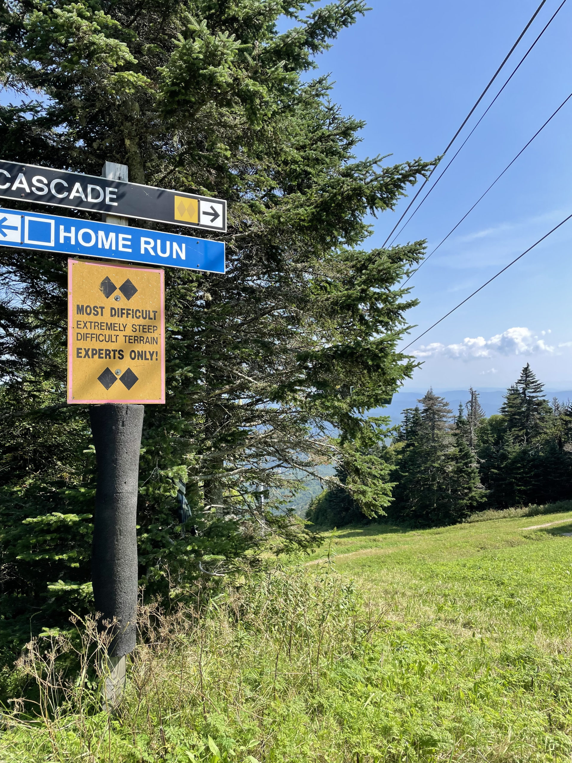
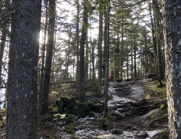
It was a very warm day, which means misery on a ski slope. Fully exposed to the sun, hiking up a ski run offers no shade and usually an aggressive pitch. There is signage for the hiking and mountain biking trails labeled by letter (E trail, C trail, etc), and a hiking map is available on the Killington website. I started up the C trail, which is a gravel access road. I really dislike hiking on gravel. I find it more unstable than rocky, rooty woods trails. After about a half mile, I cut across the main ski slope and worked my way up, eventually picking up the E trail. This is the route most reviewers on AllTrails suggest. It was steep and rocky in parts, while other sections switchbacked through hilly meadows of tall grasses. There was also some serious mud. I will admit the benefit of ski slope hiking is the views. They were consistently amazing the whole way up.
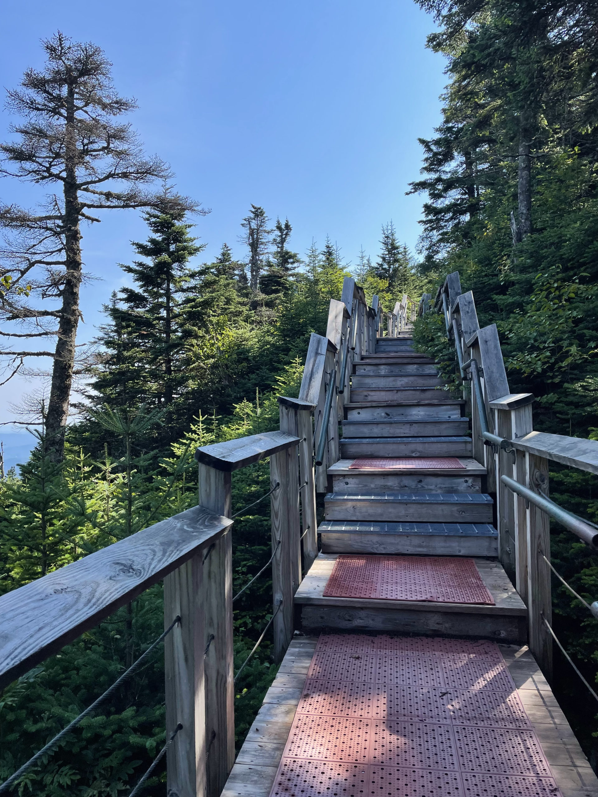
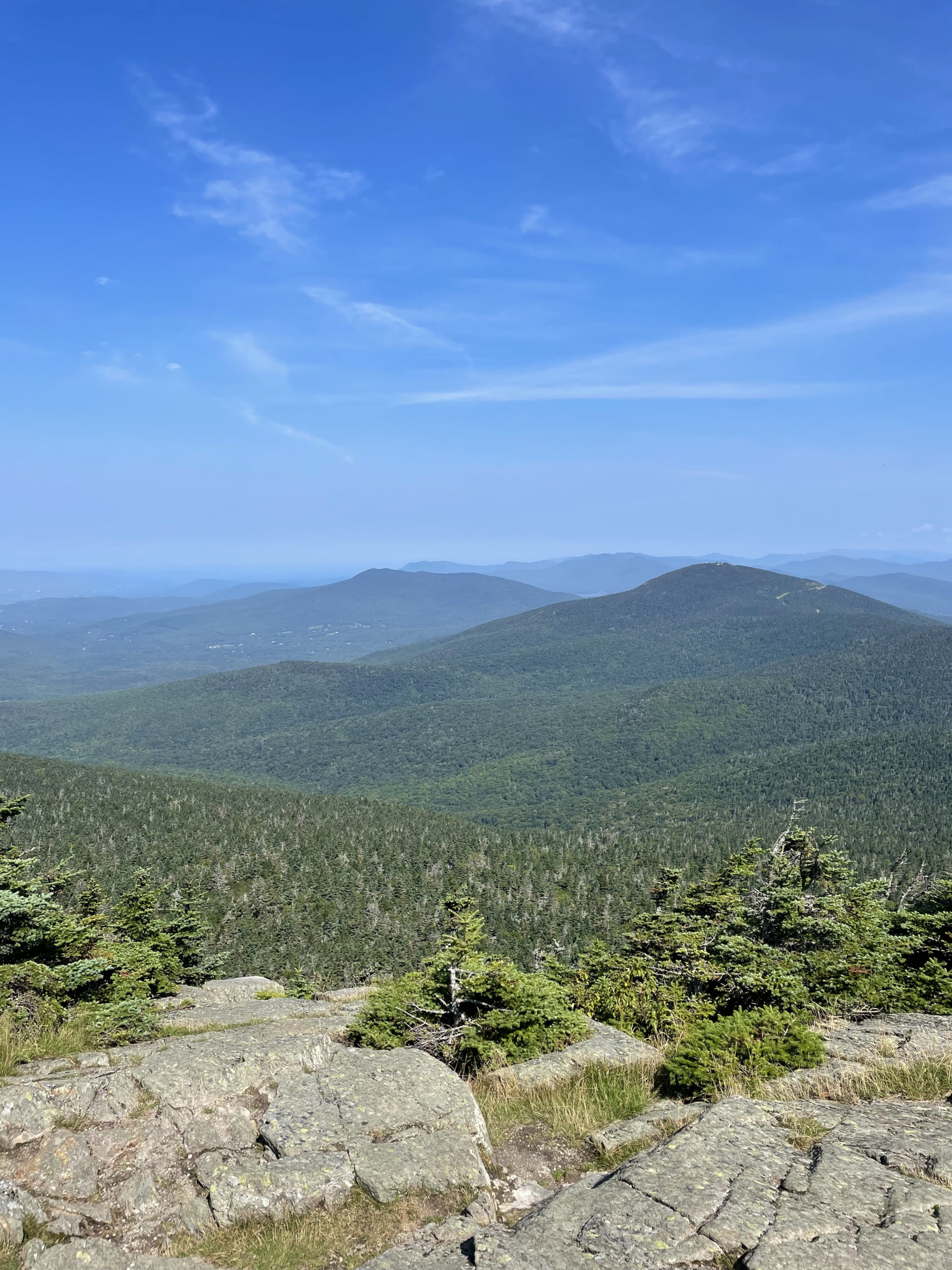
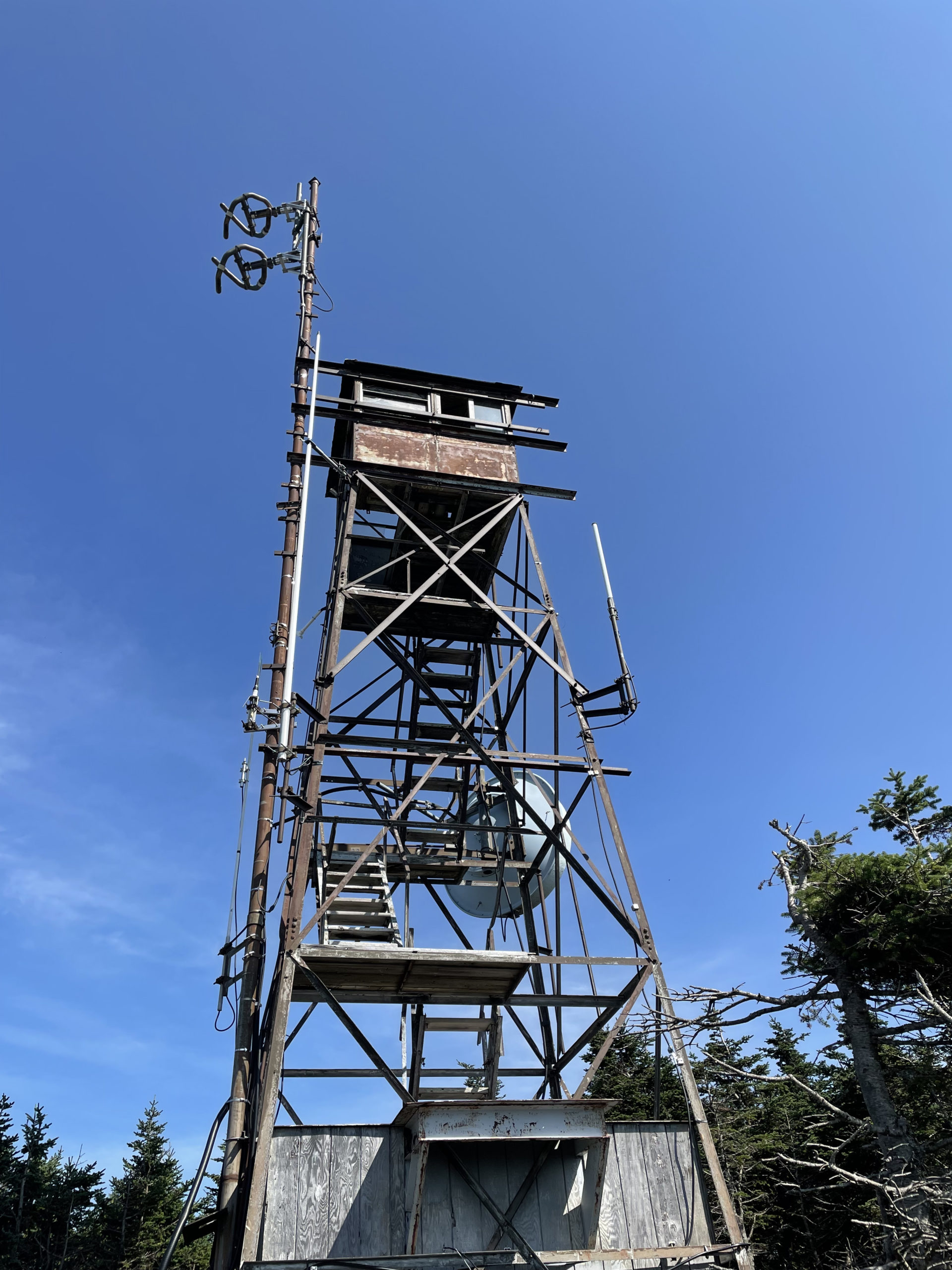
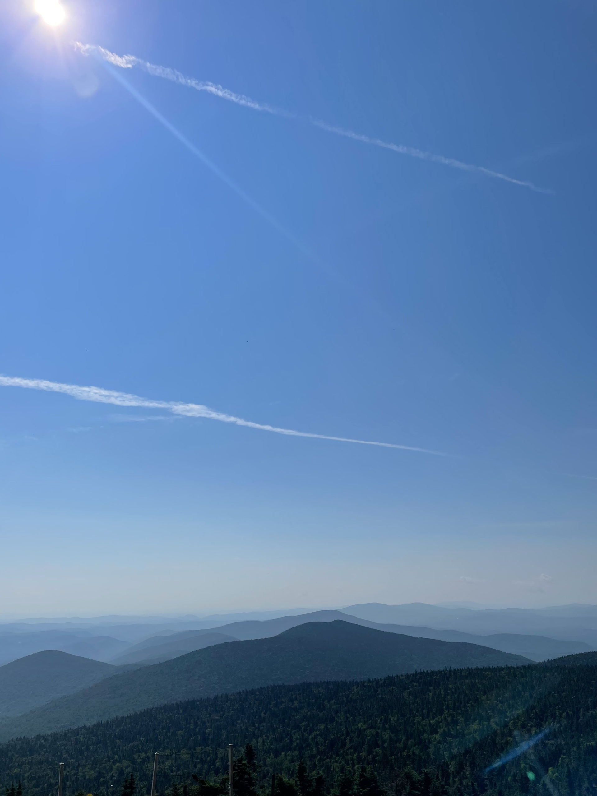
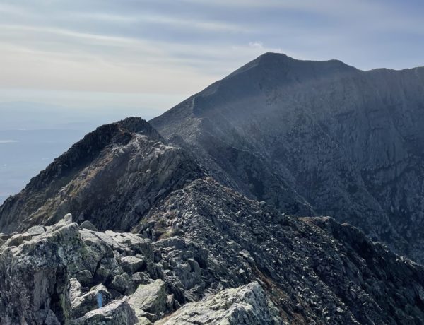
Near the top of the mountain there is an elevated staircase and walkway system that leads to the summit building. During the ski season, the Peak Lodge serves food, but in the off-season it is closed. To reach the highest point of the mountain, take the J trail through the woods to the rocky, open summit. The trail is easy to find if you look for it. At the very top there is an old radio tower and a new one. The views of the surrounding mountains are spectacular. On a clear day, the Adirondacks, the Greens, and the Whites are all visible.
According to AllTrails, most hikers take the C trail access road down. I’d already decided I didn’t like that option, so I backtracked on the E trail, following it down to the base lodge. It is a very pretty descent, but the footing is tricky. Even on the ski trails there is loose rock and ruts from maintenance vehicles.
I finished the hike in about two hours. From there, I hopped into the car for another hour and half drive north to the next peak on my list: Camel’s Hump.
Killington Peak Loop
| Total elevation: 4235 ft | Elevation gain: 1604 ft |
| Mileage: 4.5 miles | Alpine exposure: at summit |
| Terrain: gravel road, meadows, rough footing | Challenges: exposure to weather, steep, muddy |
| View payoff: spectacular | Dogs: yes |
Recap: This hike was relatively quick (2 hours) and moderately challenging. The views from Killington Peak are beautiful, especially if you climb the short J Trail to reach the very top where the radio tower is. Hiking up the ski slopes is a direct route, but trails on the other side of the mountain (for example, Bucklin Trail) might be more enjoyable and more like a traditional hiking experience. The loop trail on the ski resort side of the peak follows a gravel access road up and a moderately steep ski trail down. If you don’t like walking on gravel, take the slopes in both directions.
No Comments