Lost Pond Trail – Wildcat Ridge Trail
Wildcat Peak D 4050 ft | Wildcat Peak A 4422 ft
As previously established, this is a hell of a hike. In case you missed the previous post, I attempted this hike a week ago with Luna in tow. We didn’t make it to the summit.
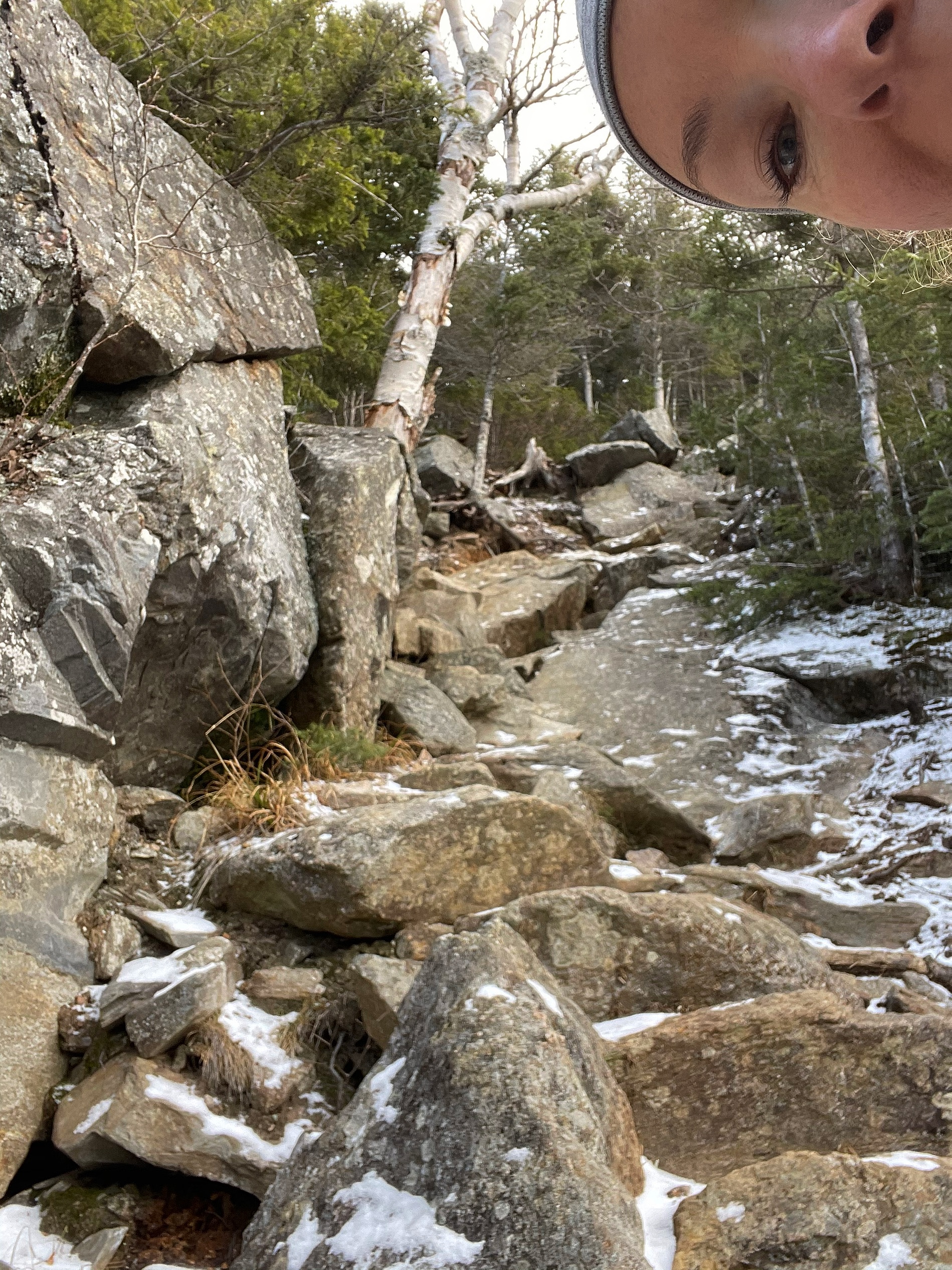
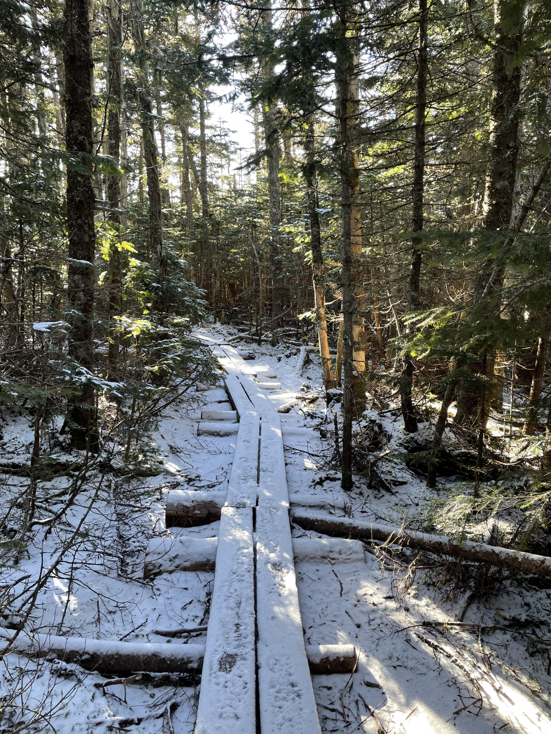
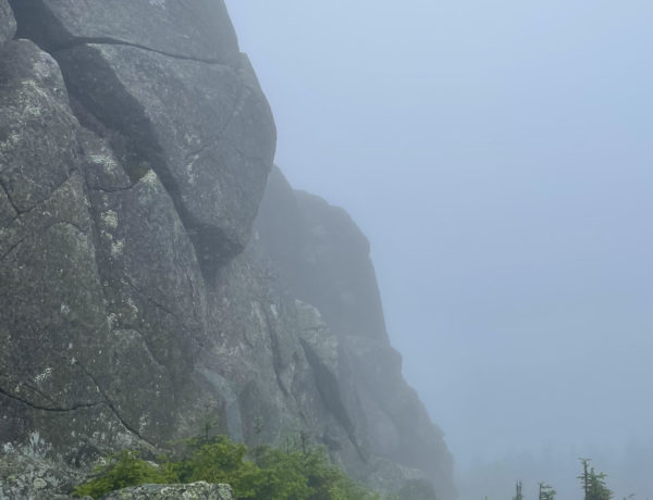
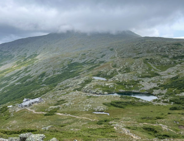
I went at it again on a clear, sunny morning, this time without Luna and mentally prepared for the intensity of the climb. I made it back to the boulder-hugging wooden steps on Wildcat Ridge Trail where I’d U-turned a week before around 10:30am. After safely climbing up, I got to turn around and see the incredible view of the Tuckerman and Huntington ravines on the east side of Mt. Washington. Fifteen minutes of hiking later, I was at the top of Wildcat E, .2 miles shy of the highpoint of Wildcat Ski Area. Snowmaking was underway!
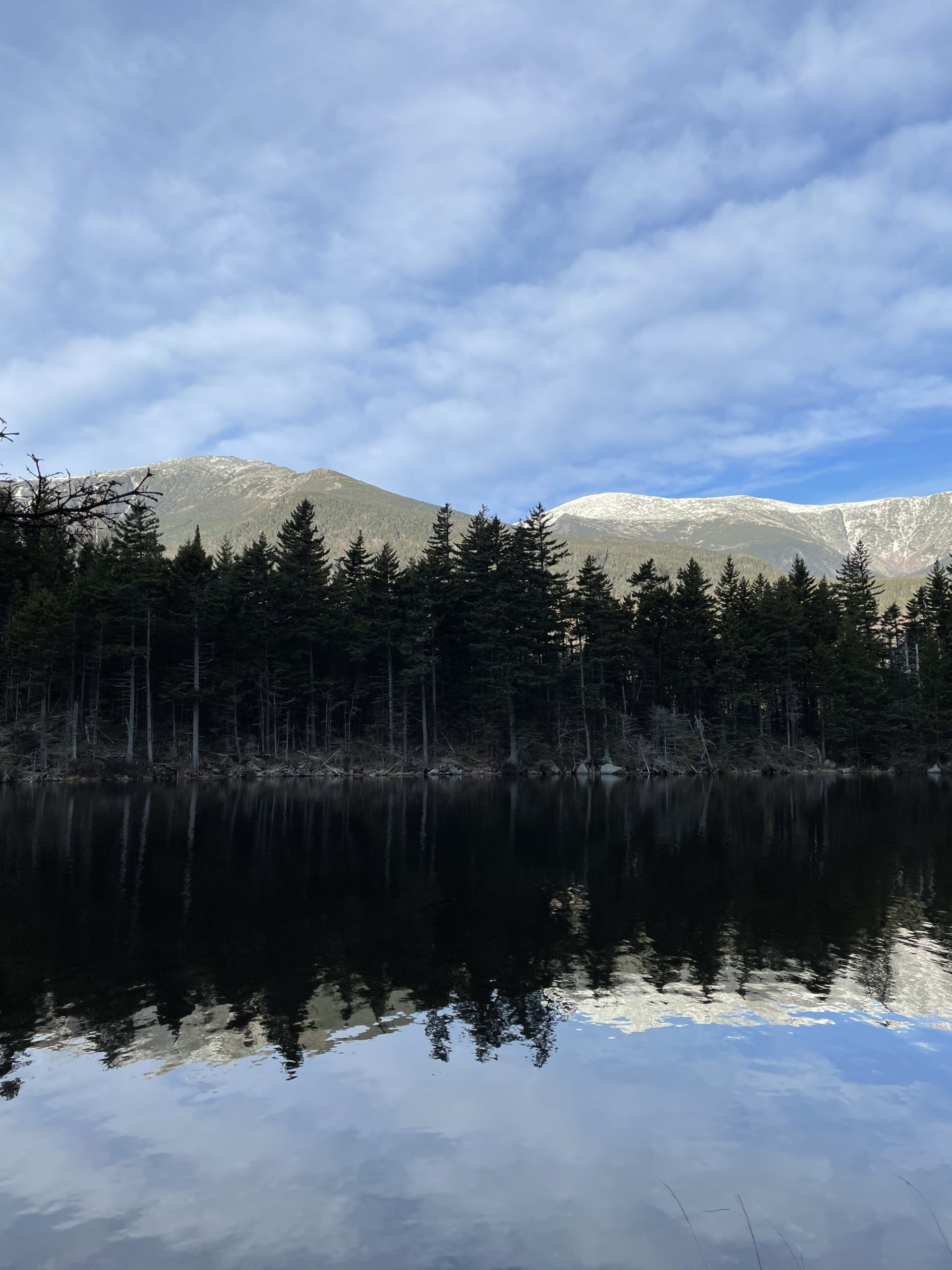
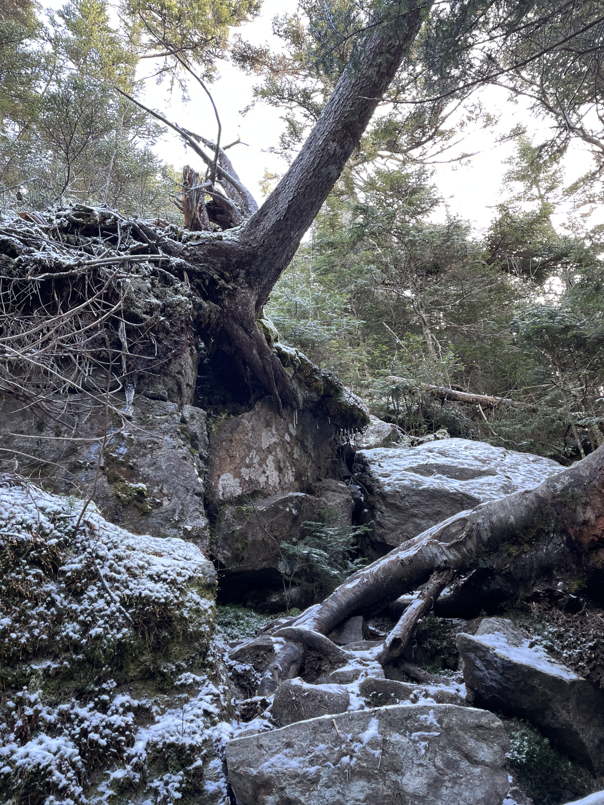
From the top of the liftline, the trail climbed back into woods to reach Wildcat D (one of the official 4000 footers) where an observation tower provided another amazing view. The next section of trail was a series of drops into cols and climbs back up to the peaks that make up the Wildcat Ridge. The final peak (aka Peak A and/or Wildcat Mountain) has a boring actual summit (a rock in the woods), but a spur path leads to a view into Carter Notch that may as well be the summit.
Now, here’s where the trip got exciting. I saw my first Canadian Jay.
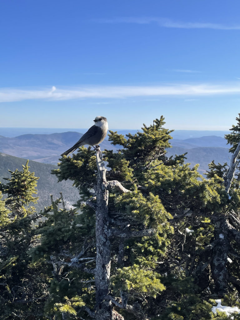
Also called gray jays or Whiskeyjacks, these birds are about the size of a robin and are found in the topmost reaches of North America’s boreal forests. If you’re rusty on your biomes, the boreal zone is characterized by coniferous forests (pines and spruces). I was shocked by how unafraid the birds were. They didn’t seem bothered by my presence and made no effort to avoid me. In fact, it seemed like they were coming to visit while I checked out the view (and took pictures of them).
Post-hike research revealed Canadian Jays adapt to human activity in their territory and are known to approach humans for food. Had I known at the time, I would have shared my sandwich. The birds are also included in the mythology of several First Nations cultures, including the story of Wisakedjak, a benevolent figure whose name was anglicized to Whiskyjack (hence the colloquial term).
I could have spent hours watching the happy, hoppy birds, but I knew I had at least 5 miles ahead of me. I reached the Wildcat Ski Area summit at 1:30pm and decided once was enough down Wildcat Ridge Trail. I knew I could take the ski slopes instead, I just wasn’t entirely sure where on Rt 16 I was going to end up. But at this point, trekking a mile on the shoulder of Rt 16 was a more appealing option than descending the ridge.
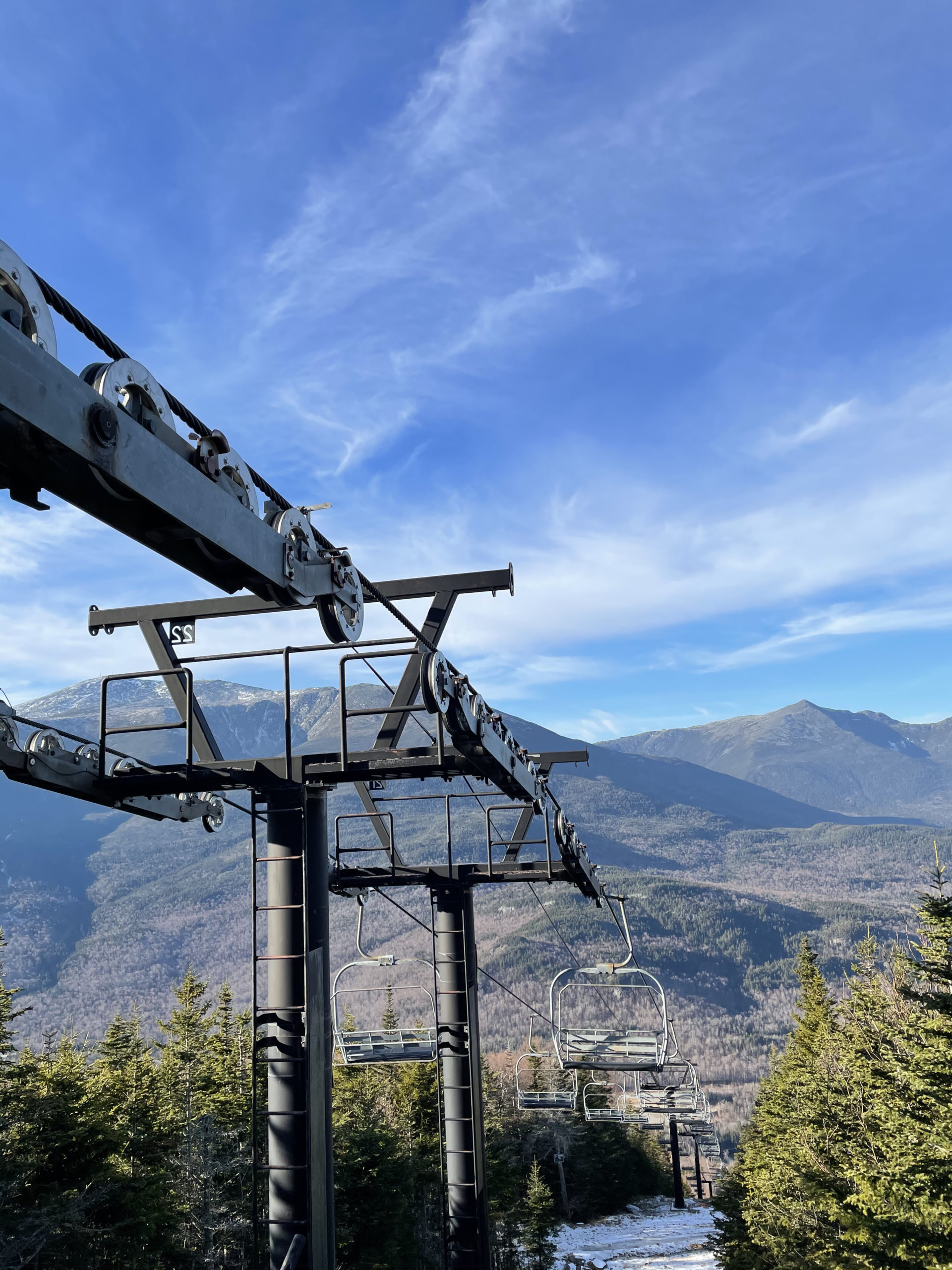
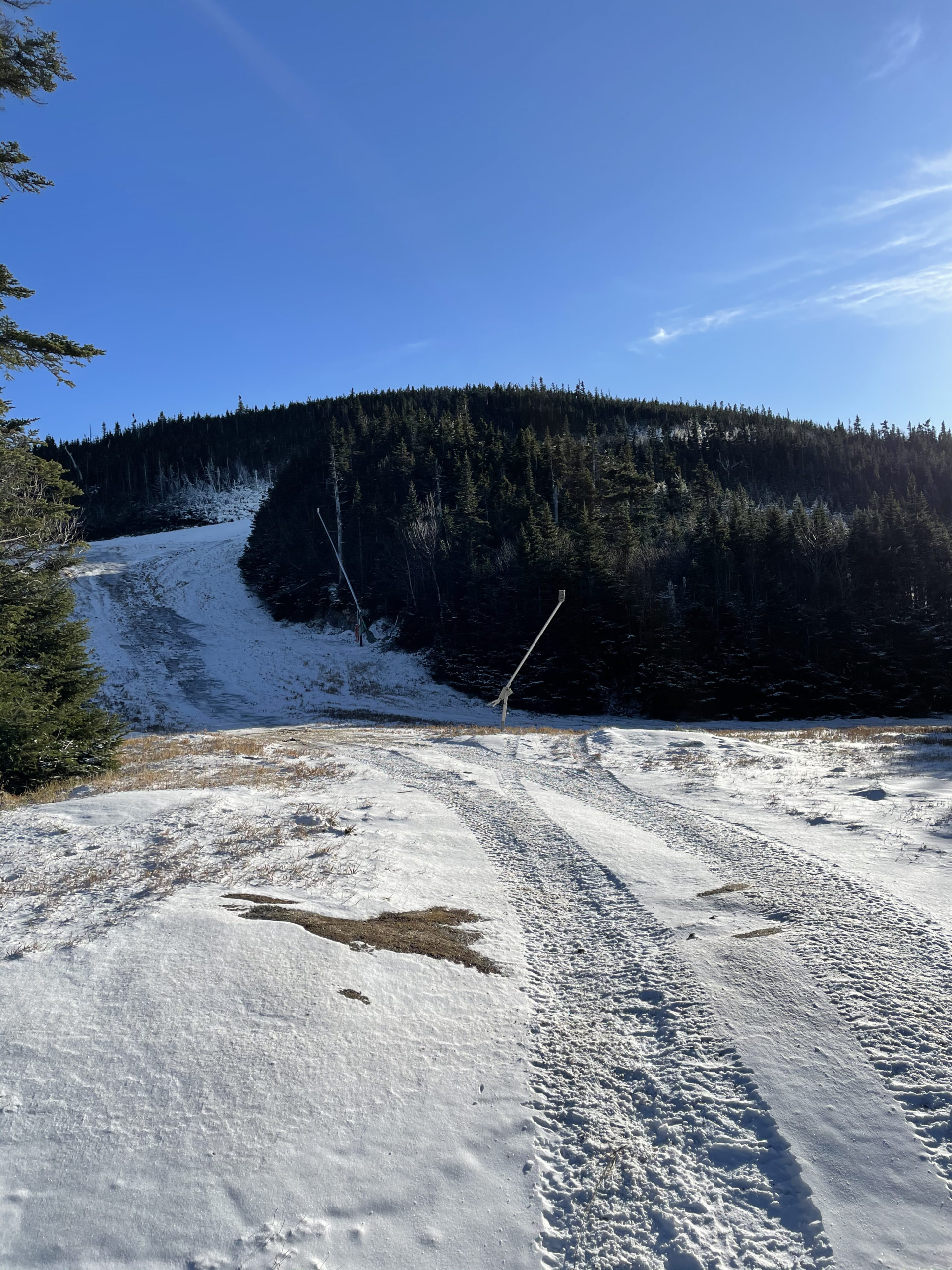
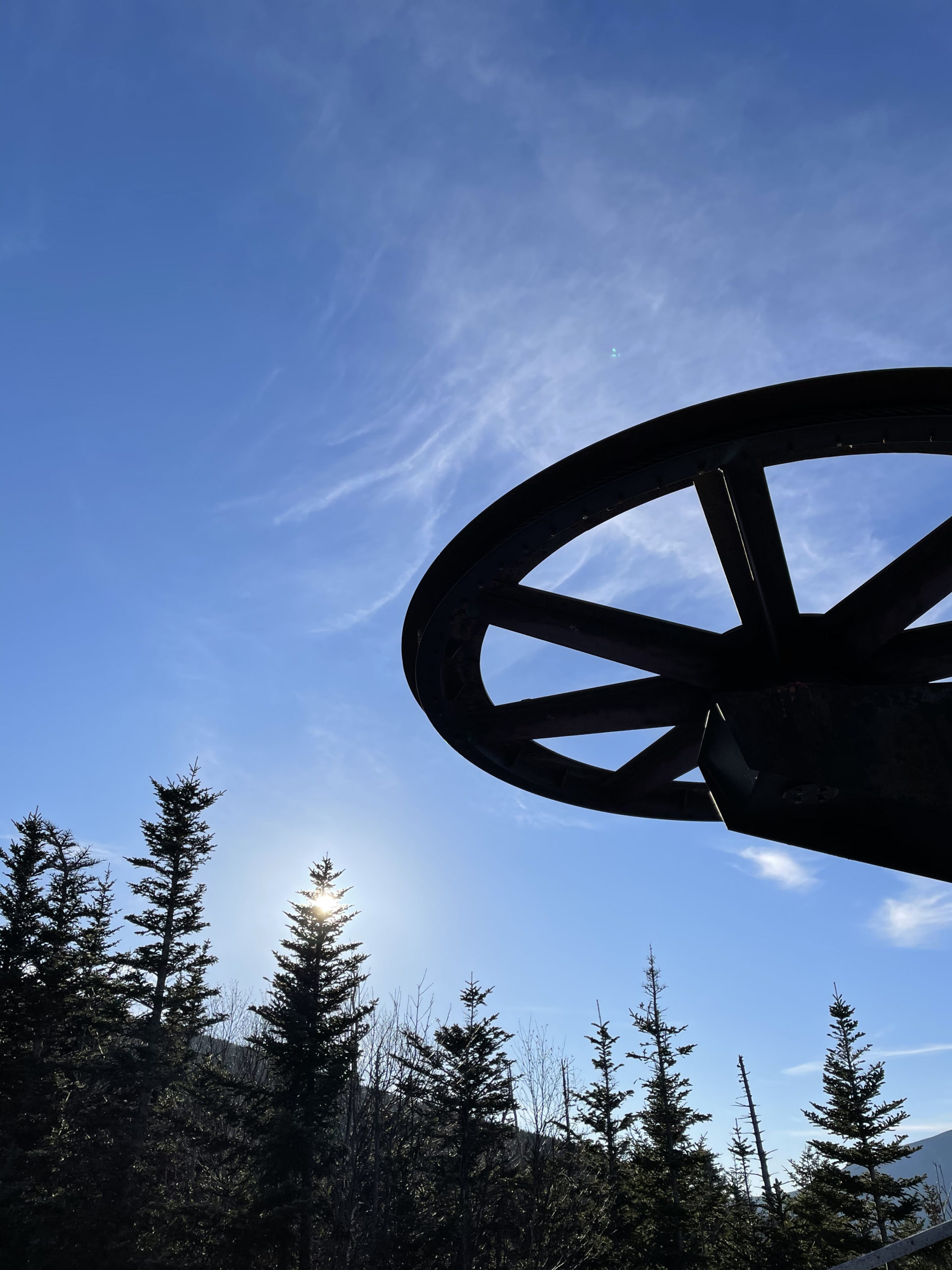
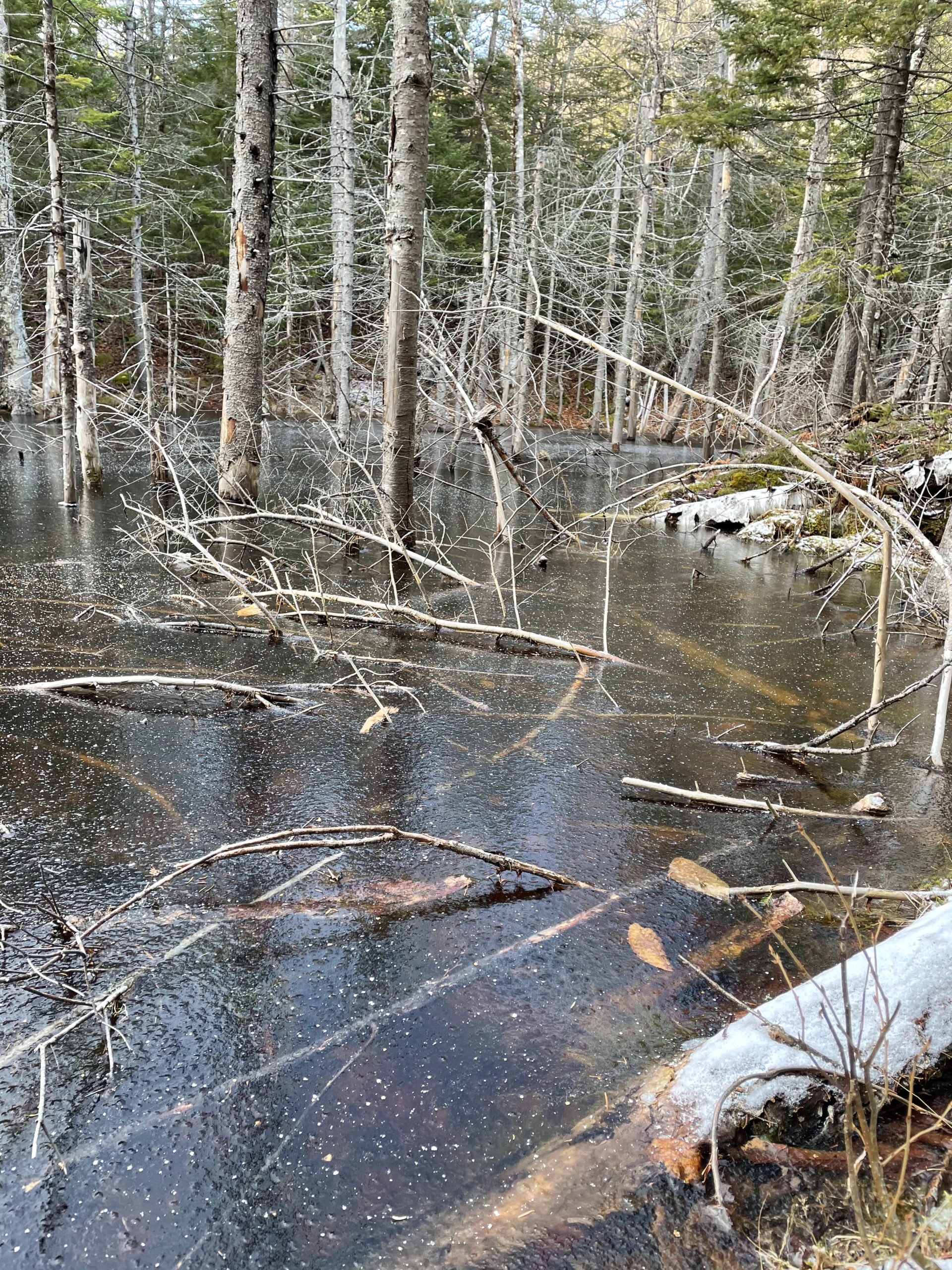
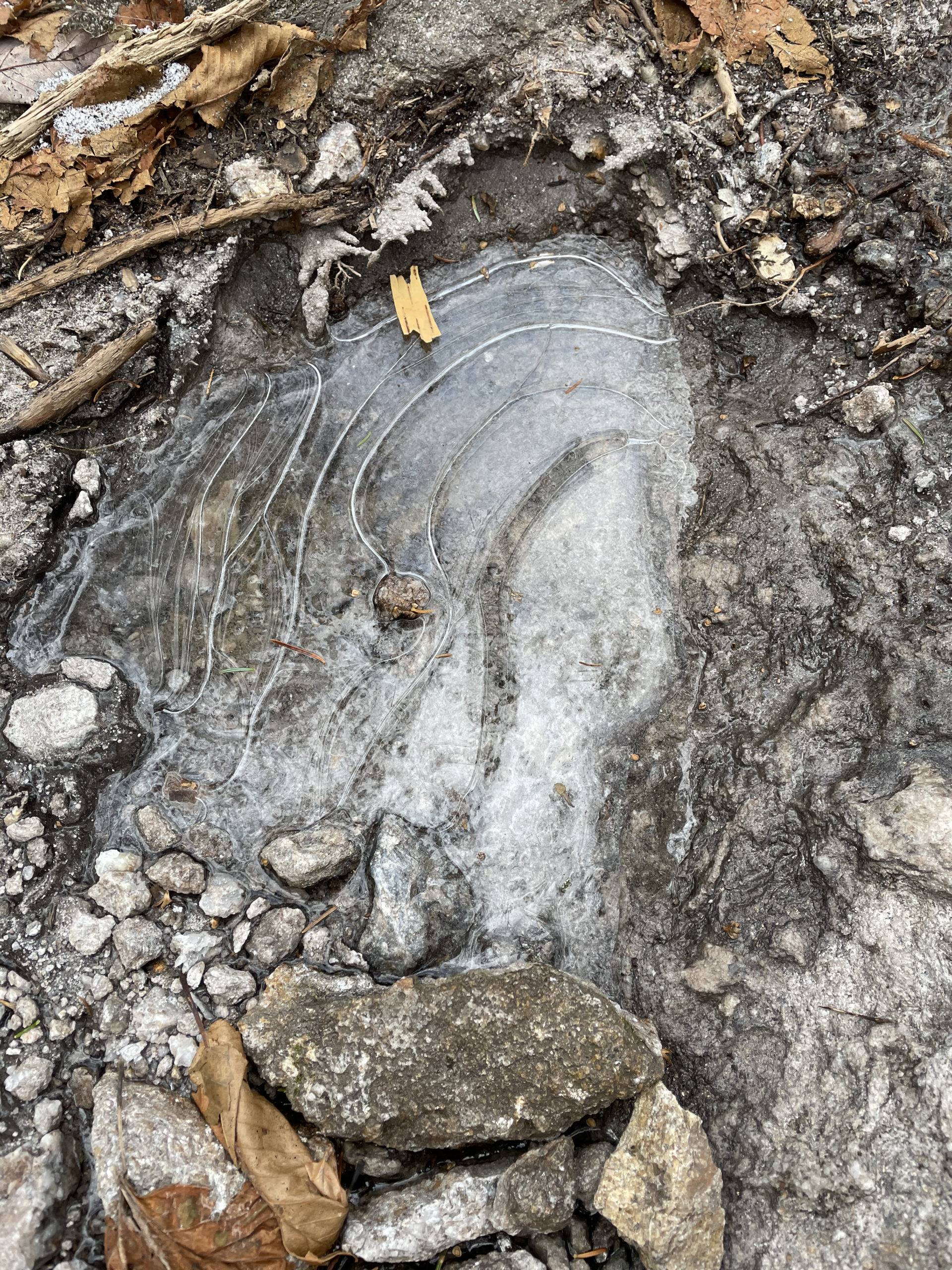
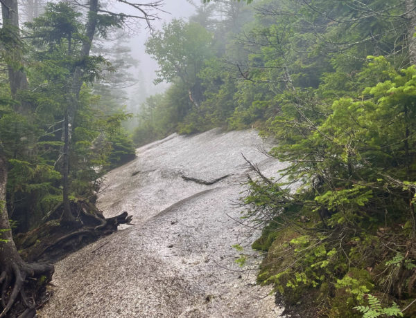
Off I went. I knew the preference of the ski mountain was for hikers to use the edge trails, so I started down Upper Polecat. The footing was surprisingly rough. Frozen muddy tracks, grass tripping me up, patches of ice. MICROspikes would have helped significantly, but I hadn’t made that purchase yet. After stopping off at an rusty, ancient-looking chairlift for pictures and another view of Mt W, I cut in slightly toward the center slopes. I wouldn’t have done this if the mountain was open (it wasn’t), but also if the mountain had been open, there would have been more snow on the ski trails and the descent would have been easier. The middle slope was way too steep to walk down, so I chose a path in between the main black diamond and the meandering green boundary run.
When I reached the base lodge, a few employees were working on opening preparations. I asked how far down Rt 16 I had to walk to reach the visitor center and was told it wasn’t more than a quarter-mile. The friendly staffer also pointed out a trail I could take on the other side of Rt 16 that would run parallel to the road.
A quarter-mile was more like a mile (what was he thinking?!) and the cars whizzing by at 60mph were a bit unnerving. I took his side trail advice (there was a tiny sign on the north side of the road) and tramped back into the woods. At this point, I’d reach my ‘I’m done’ mindset. The irritatingly difficult ski slope descent had sucked me dry, and I was ready to be in my car, eating something delicious. This random trail seemed to be going in the wrong direction, so I blazed my way to the left and found a cross country ski trail that led toward Pinkham. I plodded along and soon found myself walking through a boggy stream bed. Still no sign of the visitor center. I could hear the traffic to my left, so I knew I was going in the right direction, but it felt endless. Finally, in a fit of annoyance, I plowed back out onto Rt 16 (feet soaked) and found the entrance to Pinkham’s overflow parking just a few steps away. Praise be.
The whole roundabout route was 11 miles and took 6.5 hours (an hour longer than my normal pace). Upon completion, my immediate feeling about the hike was: That sucked. After taking off my wet boots and socks, devouring a sandwich, and downing a cup of coffee, my physical aversion lost steam, and I started thinking about the elements of the hike that weren’t actually about hiking.
Hiker term: Col
The lowest point on a mountain ridge between two peaks.
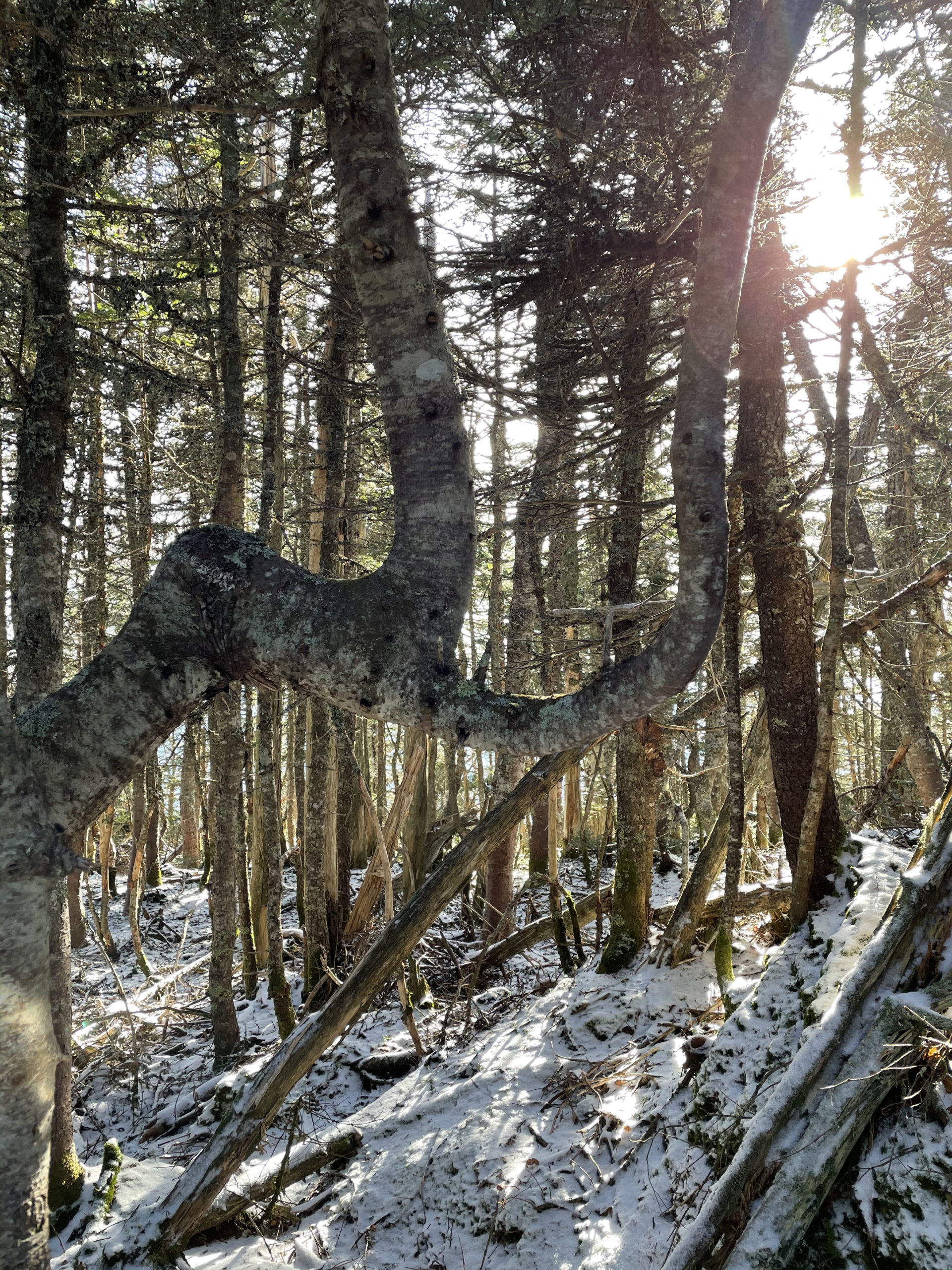
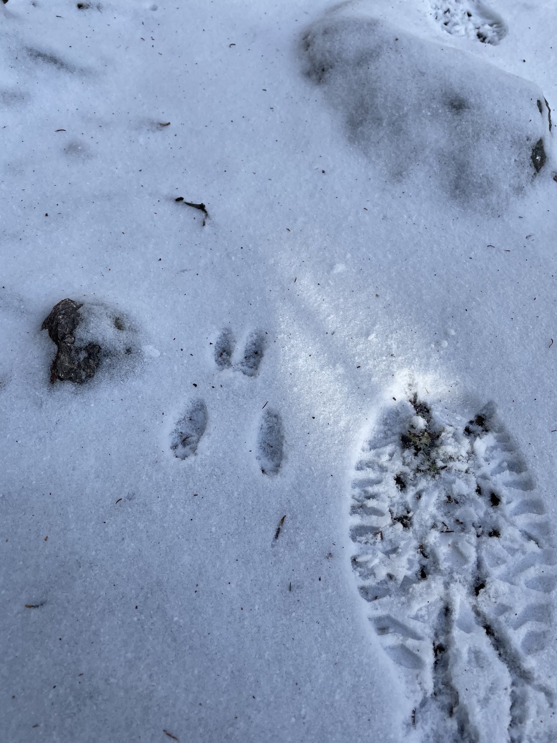
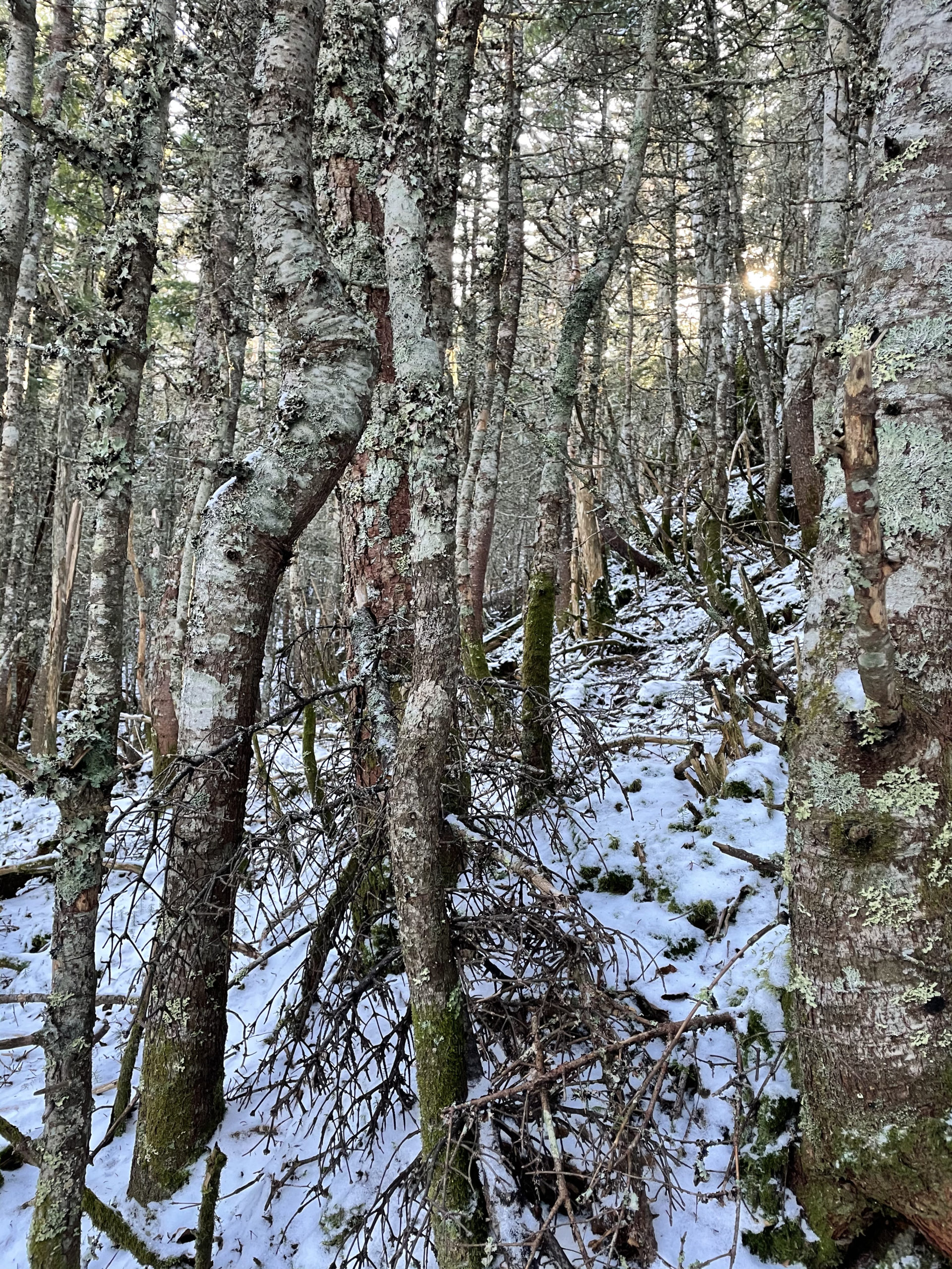
The ascent was brutal but rewarding. The ridge cols were fun to navigate. The sun was shining all day. I found really cool trees. I saw bunny prints in the snow. I took artsy photos of an old chairlift. I met Canadian Jays and felt joyful watching them.
It was one of the hardest hikes I’d ever done, but, after cataloging the positives, I realized it was also one of the most satisfying to finish.
That said… the next time I ascend Wildcat Mountain it will be on a chairlift with skis on my feet.
Summit lesson: After physical exhaustion comes mental clarity, creative thought, and visceral calm.
Wildcat & Wildcat D: Lost Pond Trail to Wildcat Ridge Trail
| Total elevation: 4,422 ft, 4,050 ft | Elevation gain: 3,540 ft |
| Mileage: 11 miles (approximate) | Alpine exposure: none |
| Terrain: woods walk, rock steps, scrambles, boulders, wooded ridge traverse, ski slopes | Challenges: extreme incline, exposed ledge, rough footing, rock chimney |
| View payoff: observation tower and many outlooks | Dogs: on leash, I don’t recommend it |
Recap: My second attempt at this hike was much more successful without my dog in tow. The woods walk to Lost Pond is beautiful with some rough footing, and the first mile up Wildcat Ridge Trail is brutally steep. There are many technically challenging sections before reaching the ridge traverse, which is a series of drops and climbs. I chose to descend from Wildcat Ski Area, taking the ski slopes to Rt 16 (this is not shown on the link to my AllTrails map). If you do this hike in the winter and take the slopes, be sure to stay on the boundary trails and out of the way of skiers. Overall, this was an extremely challenging hike.
No Comments