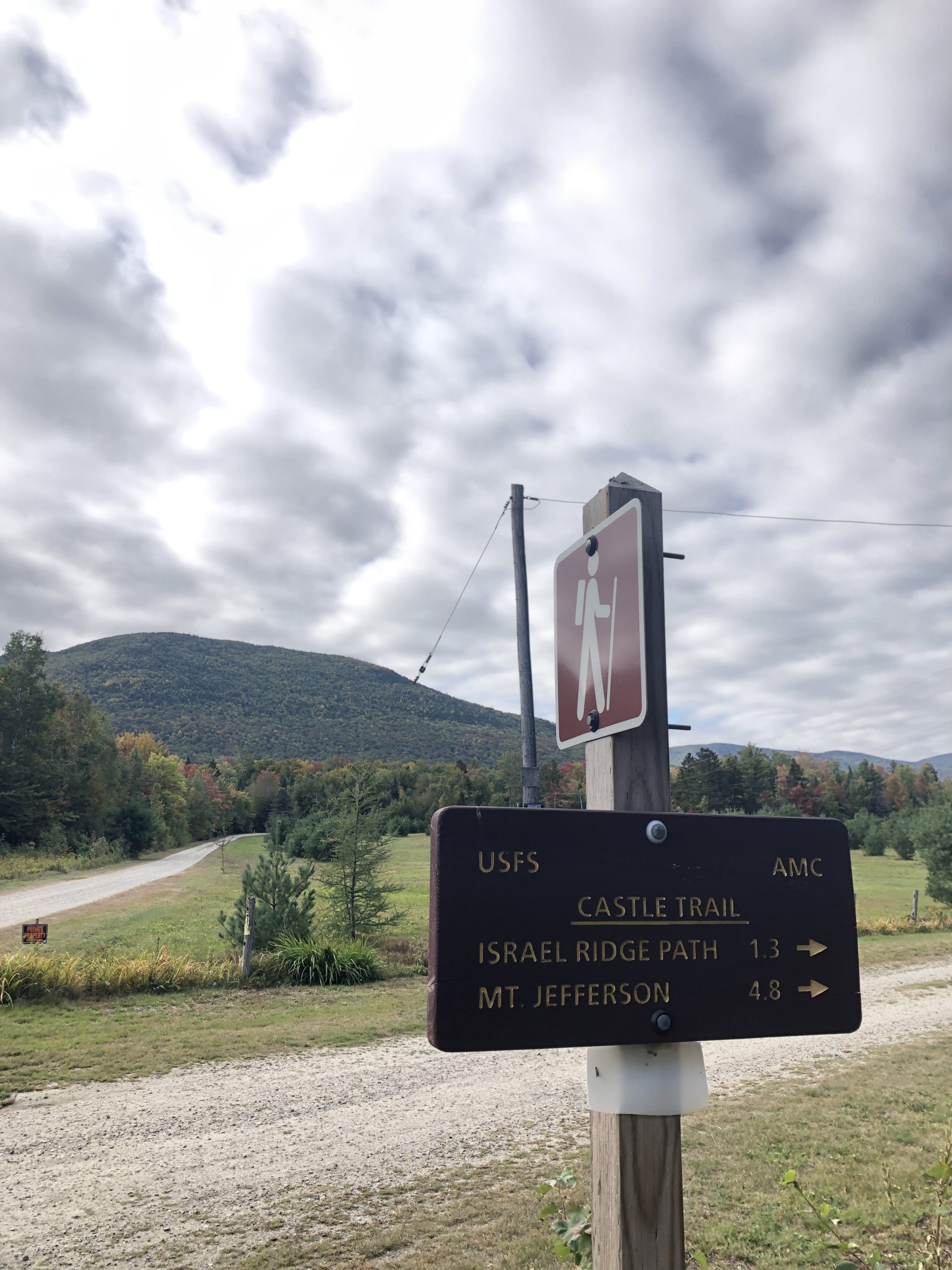
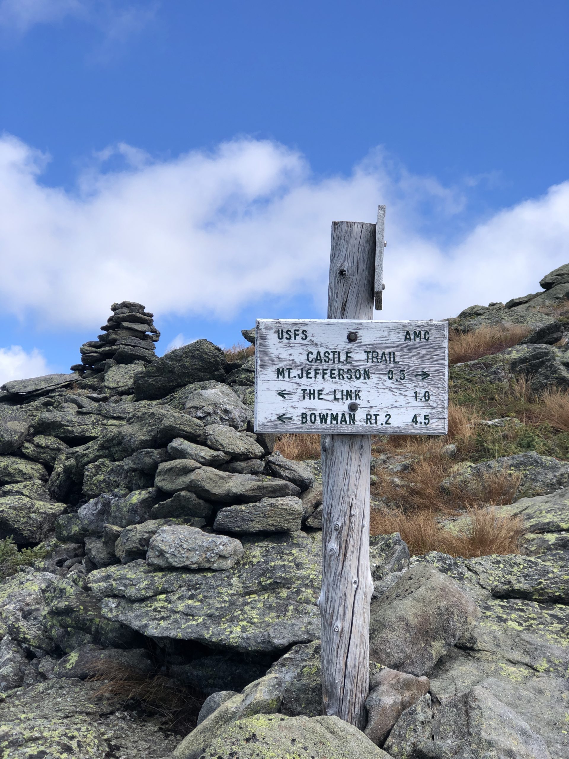
Castle Trail
Mt. Jefferson 5712 ft
Having realized Mt. Adams is the second highest peak in New Hampshire, I felt totally empowered to take on all the presidents while the weather was still good (i.e. before it snowed). Mt. Jefferson was next in the elevation lineup, so off I went. Parking for the trail is just three miles west of the Appalachia parking area where I started my Mt. Adams trek. There are multiple ways to reach the summit of Mt. Jefferson, but I chose the Castle Trail. It starts out along the Presidential Rail Trail heading west for 100 yards before turning left into the woods. The turn is marked by a teeeeny sign… and I totally missed it.
Blazing past the sign turned into a 3-mile-long walk before I even started hiking. For the record, the Presidential Rail Trail is lovely; it’s a flat trail that follows the bed of a former railroad. The tracks have been removed, and it runs roughly parallel to Rt 2 for about 18 miles. Lovely, yes, but not on my agenda for the day. I’m not entirely sure why it took me so long to check the AllTrails app, which clearly showed my little blue dot moving in the wrong direction. Backtracking to the trail sign meant I wasn’t on the actual trail until almost 10 o’clock. Sigh.
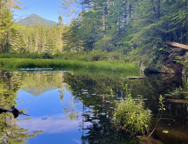
Less than a half-mile in, I crossed the Israel River. It wasn’t hard to navigate in late September, but I think it could be in the spring. I crossed as soon as I hit the river, but according to the AMC White Mountain Guide, the official trail crossing is about 60 yards to the left, up the riverbank. Tomato, tomahto. The point is to cross and remain dry.
Hiker term: Treeline
The line of altitude above which no trees can grow.
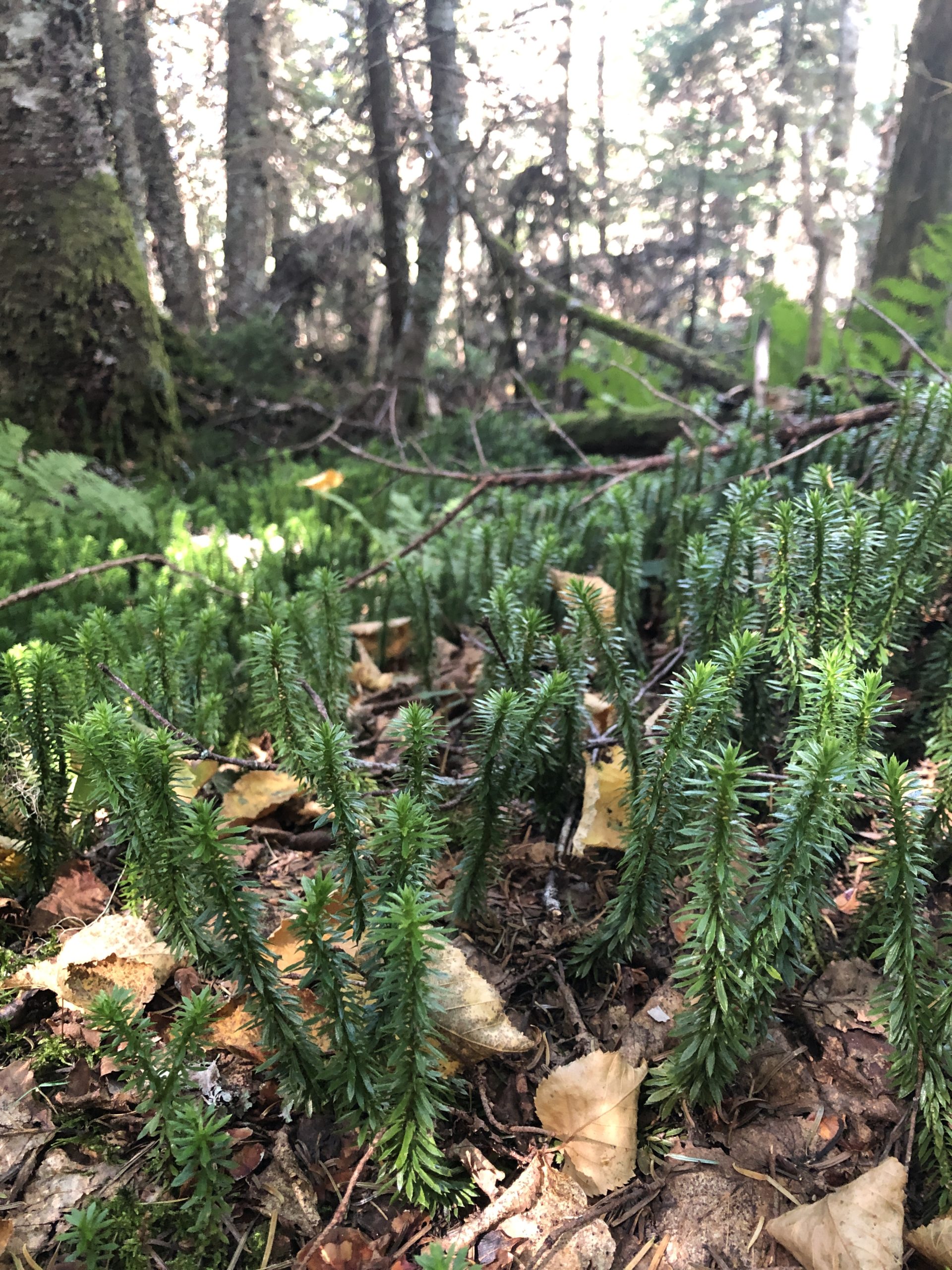
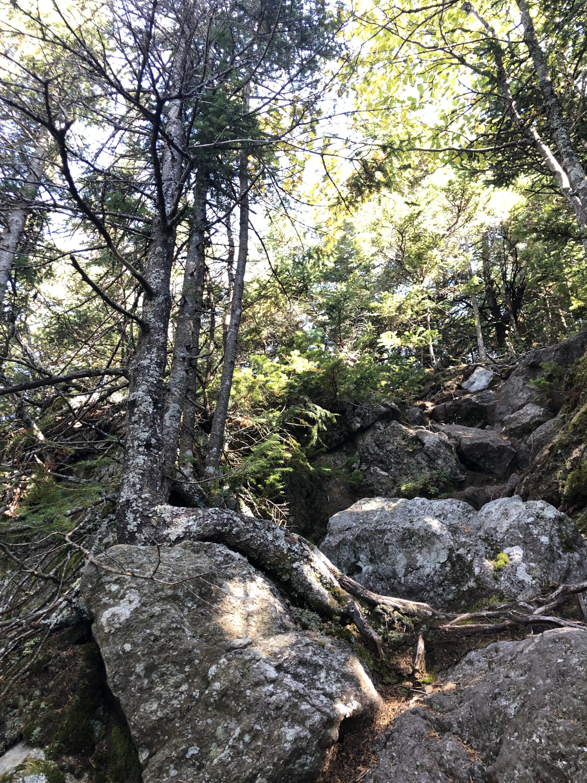
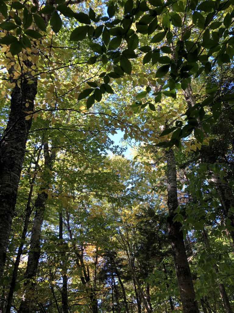
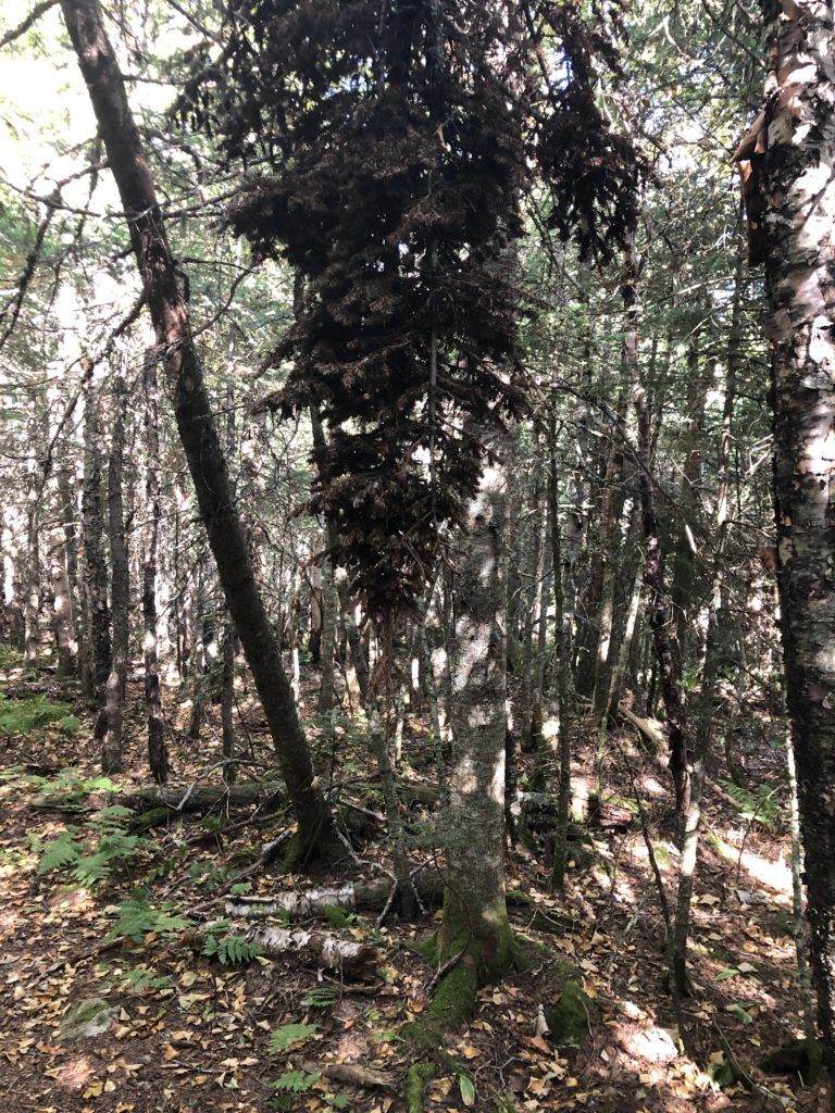
After the crossing, the trail rises gradually along the river for about a mile and a half before turning away from the water. The next mile is like a stairmaster on steroids. It’s a long series of rock steps that get steeper as you climb. Just when you think your quads are going to give out, you hit the crest of a ridge that feels *almost* level. The next stretch of trail is wooded and lush and the climb is low-key, until you cross The Link trail. Then you’re back on the stairmaster but without the obvious steps. It’s a steep, narrow, rocky ridge with plenty of scrambling and views that will knock the breath out of you (if you have any left).
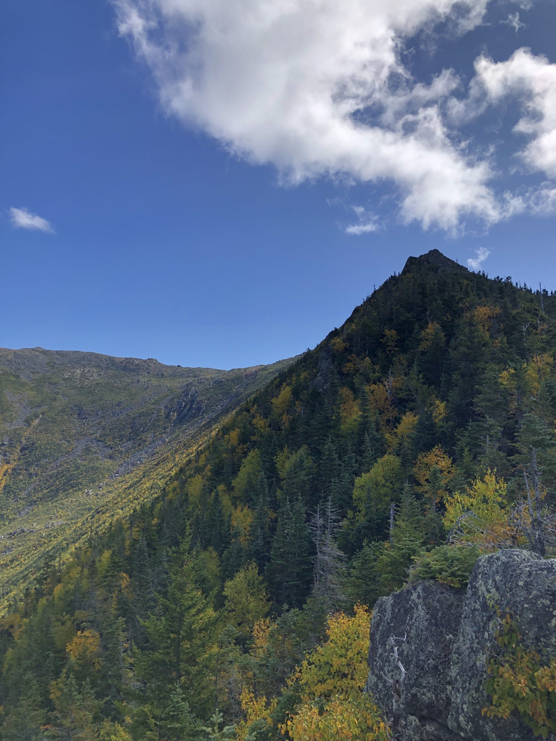
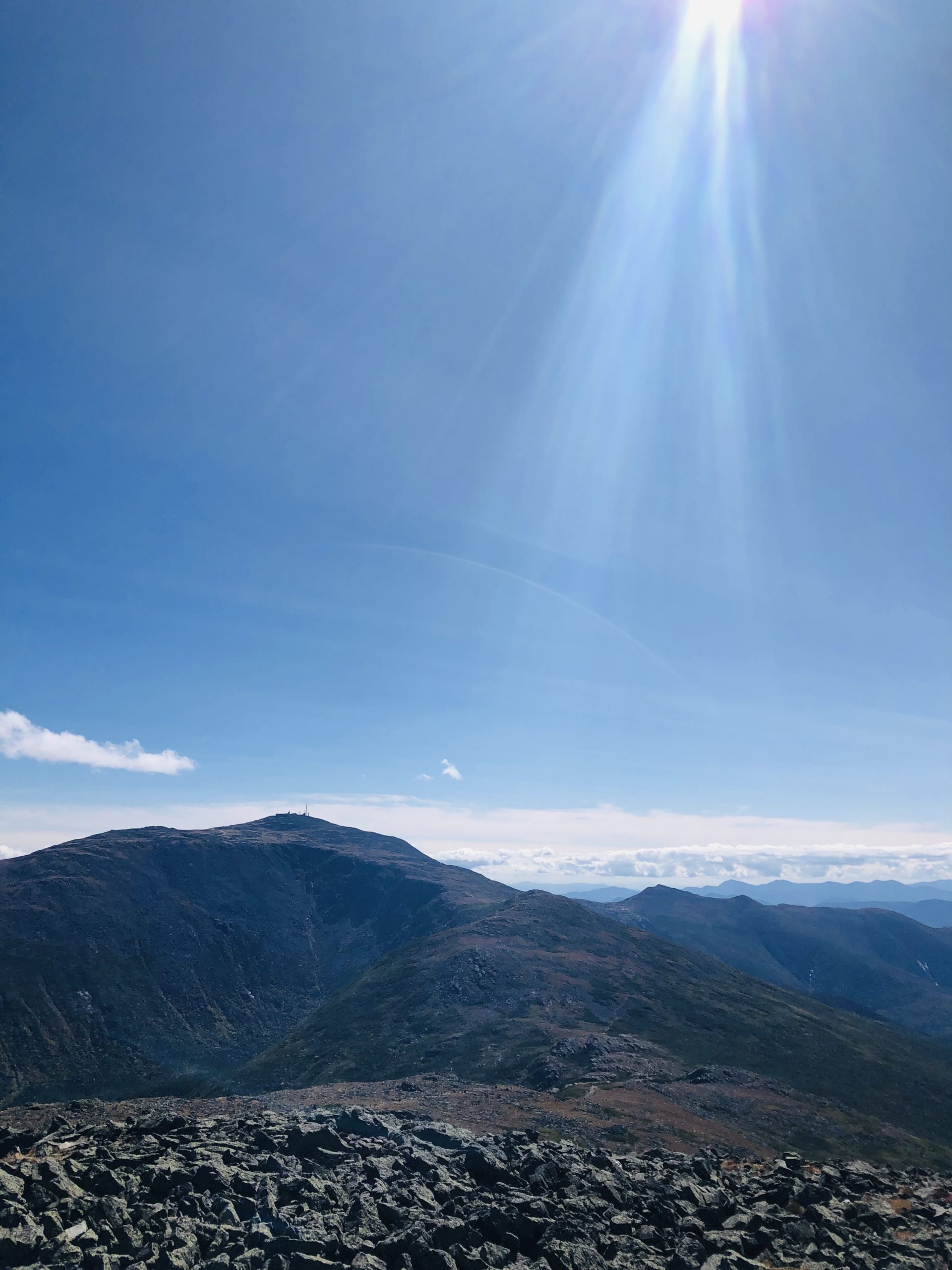
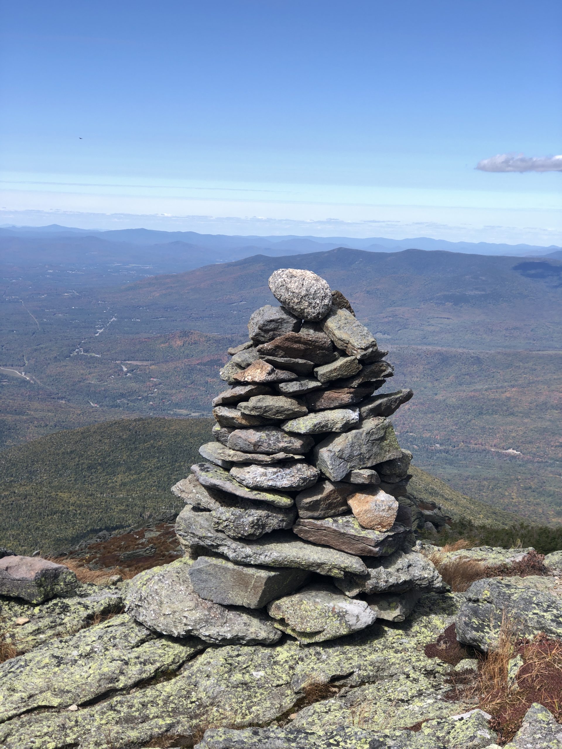
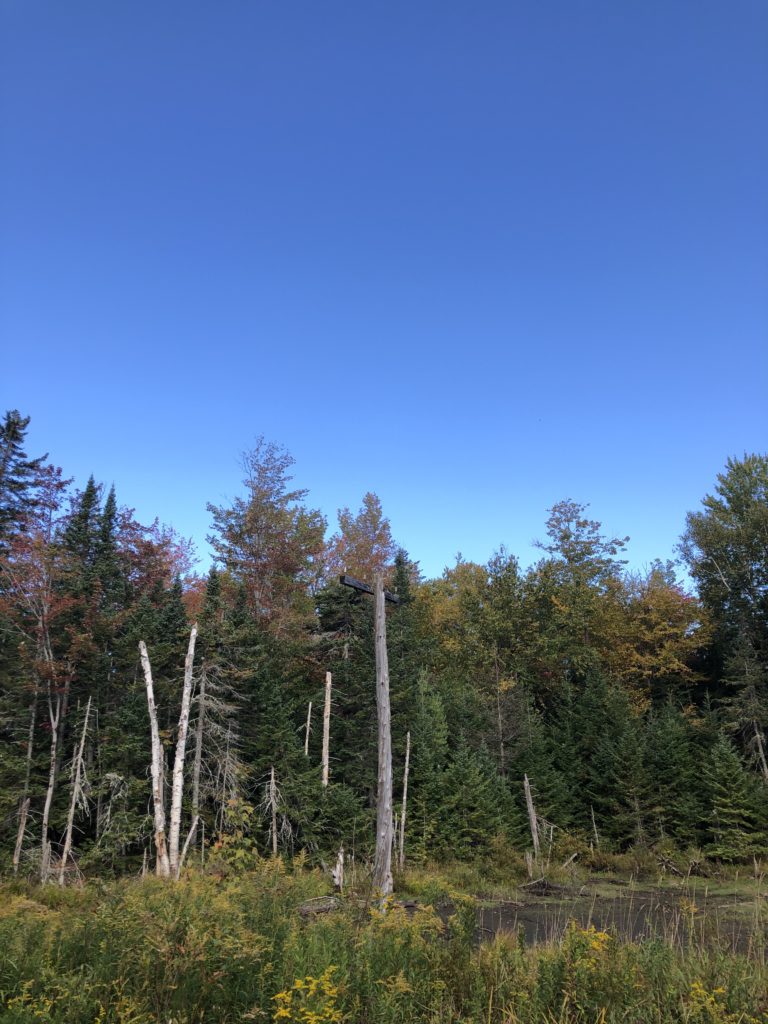
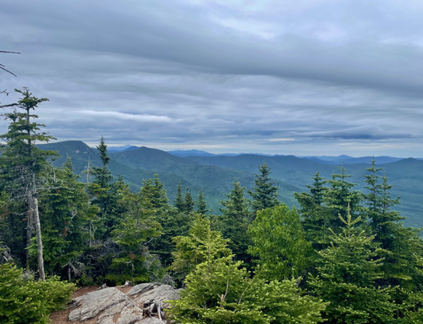
As you come up past the treeline, you see the first Castle on the right. There are two of these 20-foot pillars of rock. I had a momentary thought that this was the summit (HA!) but quickly realized I still had a mile of climbing ahead of me. There are crags and boulders to climb over, around, and through. The going is tough and it doesn’t let up until the very top, where you hit a small, flat area just below the summit. From the top there’s an incredible view of the Presidential Range and the surrounding ravines.
On a gusty day, the last push to the summit of Mt. Jefferson would be brutally exposed, like most of the big presidents. I lucked out with sunshine and a breeze. I ate a quick lunch and stared at Mt. Washington, debating whether or not I was ready to tackle it. From the top of Mt. Jefferson and Mt. Adams last week, it seemed within reach. I knew my trepidation about climbing it was all mental. It was the stories I’d heard about people dying on Tuckerman Ravine and freezing to death at the top of Washington on a summer day. Mt. Washington is the biggest mountain in the Northeast, the deadliest small mountain in the world, and home to the world’s worst weather. I was a brand new hiker. What business did I have climbing that majestic beast?
Leaving the swirling uncertainty behind, I headed back down the Castle Trail. The initial descent was precarious and challenging and actually took me longer than the final ascent. I was being extremely cautious; I was on the tail end of recovery from a mild ankle sprain and wasn’t interested in prolonging the pain.
Once I got back below the treeline, the footing was surer, but remember those rocks stairs I mentioned? They’re not a piece of cake to get down either, and they’re killer on the knees.
It probably goes without saying, but I was wiped after this hike. My 3-mile jaunt down the rail trail certainly didn’t help, but this mountain was a beast. It is incredibly strenuous and technical… with a pretty epic payoff at the top.
Summit lesson: The first step to tackling self-doubt is to call it out.
Mt. Jefferson: Castle Trail
| Total elevation: 5,712 ft | Elevation gain: 4,200 ft |
| Mileage: 10 miles | Alpine exposure: significant, unsheltered |
| Terrain: woods walk, very steep sections, ridges, rock steps, rock slopes, boulders | Challenges: water crossing, high wind, bouldering, balance, scrambling, narrow ridges, loose rock, cold summit temps |
| View payoff: amazing | Dogs: on leash, very challenging after treeline |
Recap: There are some nice stretches of moderate climb in this hike but also some killer rock stairs that go on forever. The ridge above the treeline is narrow, steep, and scrambly with incredible views all around. The summit is equally impressive and entirely exposed. Bring layers.
No Comments