Mount Tom Trail
October is by far my favorite month of the year. The weather, in my opinion, is perfect. Cool (sometimes cold) nights and crisp, sunny days. No humidity. Beautiful colors. Harvest fairs and Halloween. In early October, I was fresh off my 100 Mile hike and looking forward to a few days in Baxter State Park in the middle of the month. I was also frantically, obsessively studying for my Maine Guide test, scheduled for October 18. Every hike was also an exercise in identifying plants and practicing navigation skills. My compass and my copy of Forest Trees of Maine came with me every time I walked into the woods. I frequently came home with a handful of plant matter to study and memorize. It was a stressful time.


And what do I do when I am stressed? Hike.
Pre-May ’22, I defined ‘hike’ by elevation. After breaking my heel, any journey into the woods fulfilled my need to hike, which was really just a desire to be surrounded my trees. On this Friday in October, I wanted the trees, but I also had a kid who wanted to go to the Fryeburg Fair. So, we compromised. I found an easy hike in Fryeburg that we could complete in an hour or two before going to the fair.


Mt. Tom is located in the Mount Tom Preserve, a 995 acre preserve along the Saco River. According to the Nature Conservancy, it protects a silver and red maple floodplain. Also, two rarely spotted birds—the golden owl and the peregrine falcon—have been seen regularly near the cliffs during mating season. That would have been great for my bird ID studies!
There are two trailheads for the Mount Tom Trail, both beginning on Menotomy Rd. We took the 3.3 mile southern trail, considered ‘moderate’ by AllTrails and referred to in some places (including Maine Trail Finder) as West Ridge Trail. The northern trail is shorter (2.4 miles) and rated ‘easy.’ The trail starts out at an extensive old stone foundation. You can see supports for a big center chimney and stairs leading to a basement. There are several small buildings as well and some rusted bits and broken glass. Lots to explore!


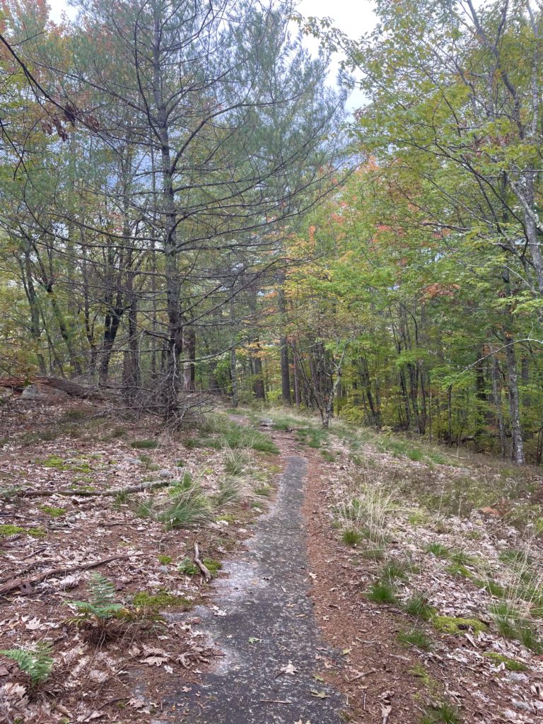
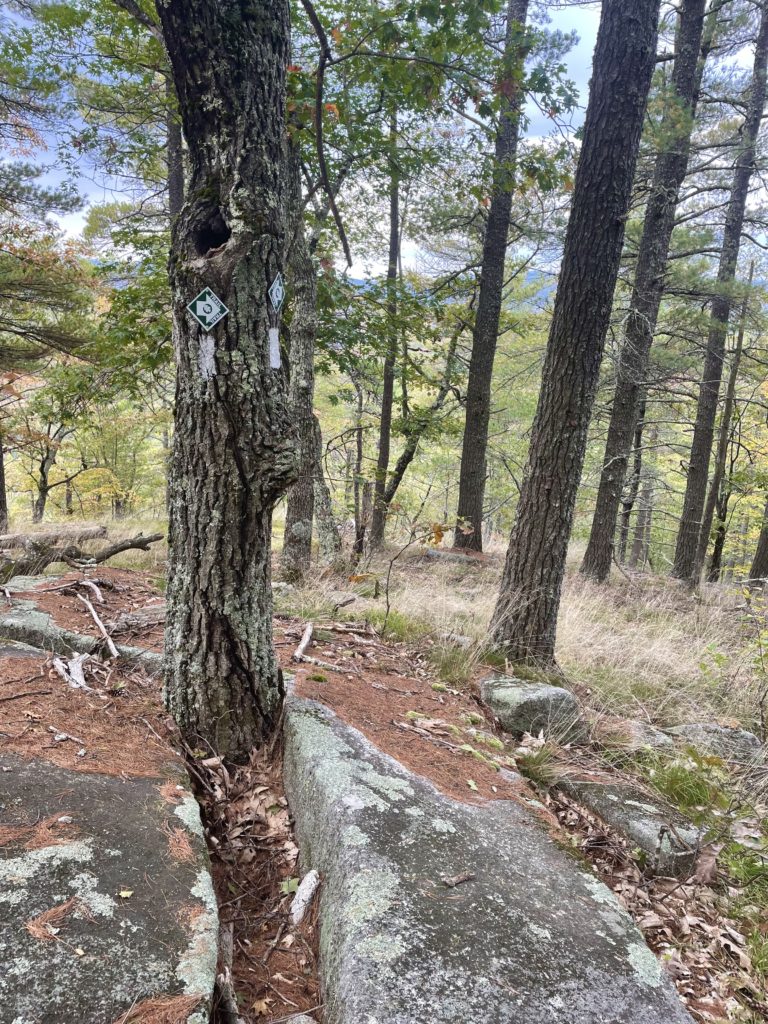
From this forgotten homestead, the trail meanders easily through the woods for about a mile, crossing small brooks and following a large rock ledge, before turning southeast and climbing toward the summit. It is a relatively steep half-mile, and some exposed rock underfoot necessitates careful stepping. There are nice views through the trees along the way. You’ll stay to the right as you pass the junction of the northern Mount Tom Trail, just before reaching the summit.
The peak is marked with a sign, and there are surprisingly lovely views of Pleasant Mountain and the Saco River to the east. The hike down was quick, and we were on our way to the fair. My non-hiker kiddo enjoyed the adventure, and I think this would be a great starter hike to get tuned up for the summer season. If you arrive with two cars, this could be a point-to-point hike, or you could make a loop by walking along the Menotomy Road from trailhead to trailhead (3.7 miles total).
Important note: there are NO DOGS ALLOWED at this preserve.

Mount Tom Trail
| Total elevation: 1073 ft | Elevation gain: 649 ft |
| Mileage: 3.3 miles | Alpine exposure: N/A |
| Terrain: woods walk, steep section | Challenges: exposed ledge, possibly slippery |
| View payoff: limited but lovely | Dogs: No dogs allowed here |
Recap: This adventure is two thirds woods walk, one third hike, with a nice view at the top. The first mile is generally easy with some careful footing (flat rocks and roots), and the steeper half-mile push to the summit is enough to feel like satisfying exertion. This is a great hike for warming up after winter or introducing non-hikers to the trail. Don’t miss the old homestead foundation near the trailhead, and remember: no dogs!


No Comments