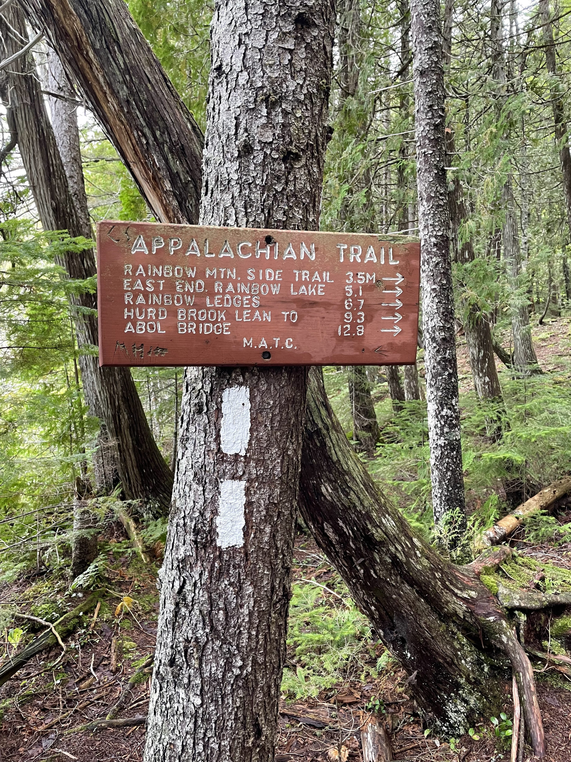
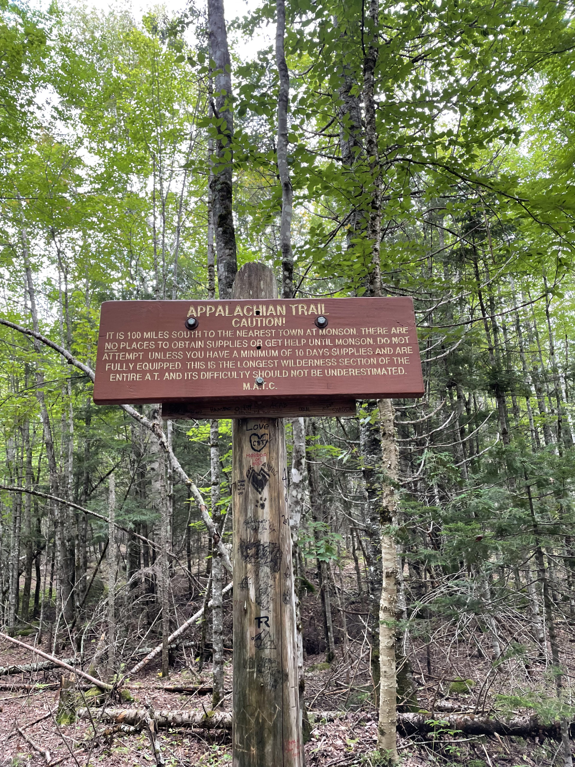
Pollywog Gorge to Abol Bridge
100 Mile Wilderness | Appalachian Trail
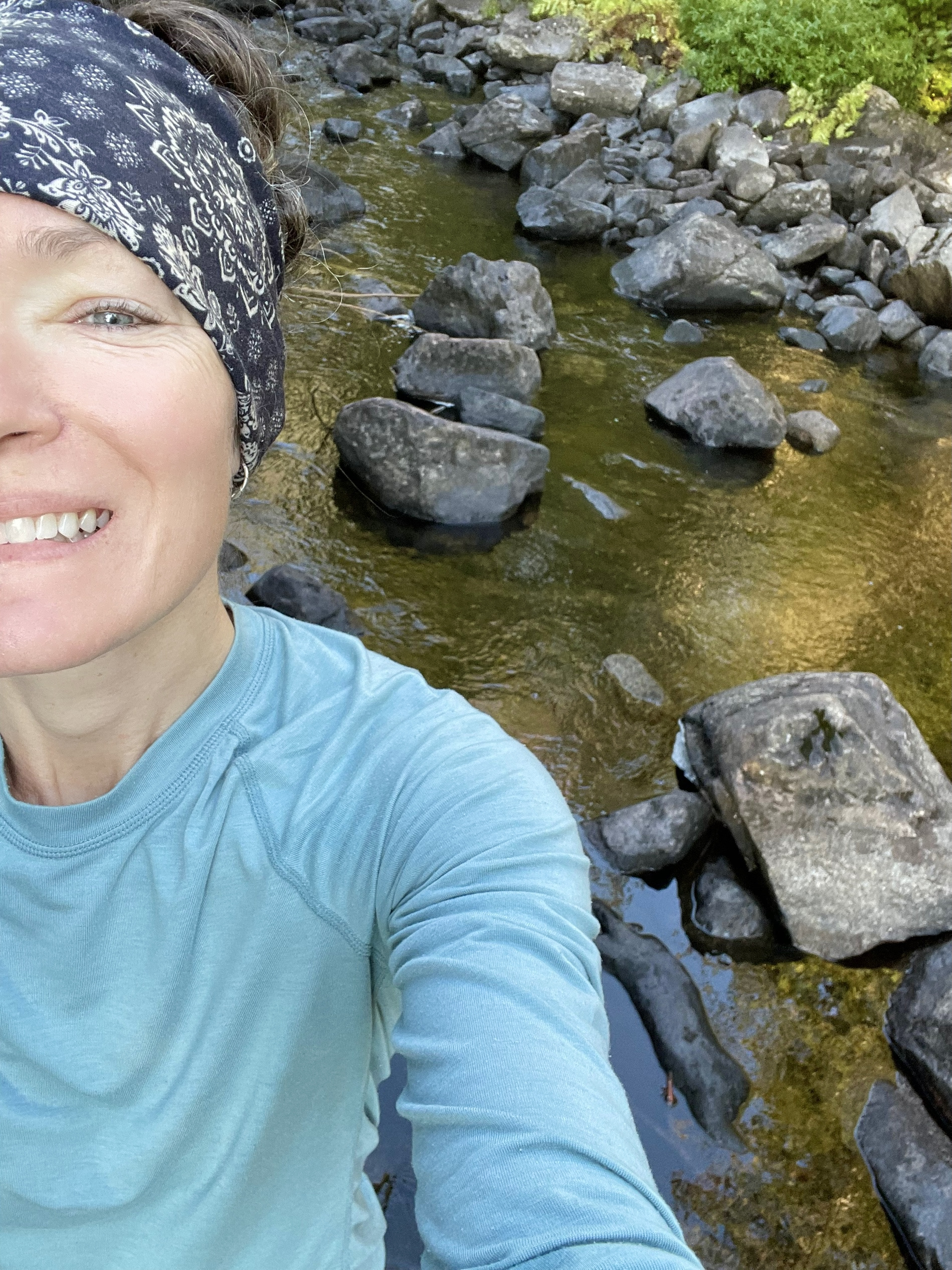
After the hardest day of the hike, I woke up feeling damp, stinky, and excited. Today was it. The last push to the Golden Road and Baxter State Park.
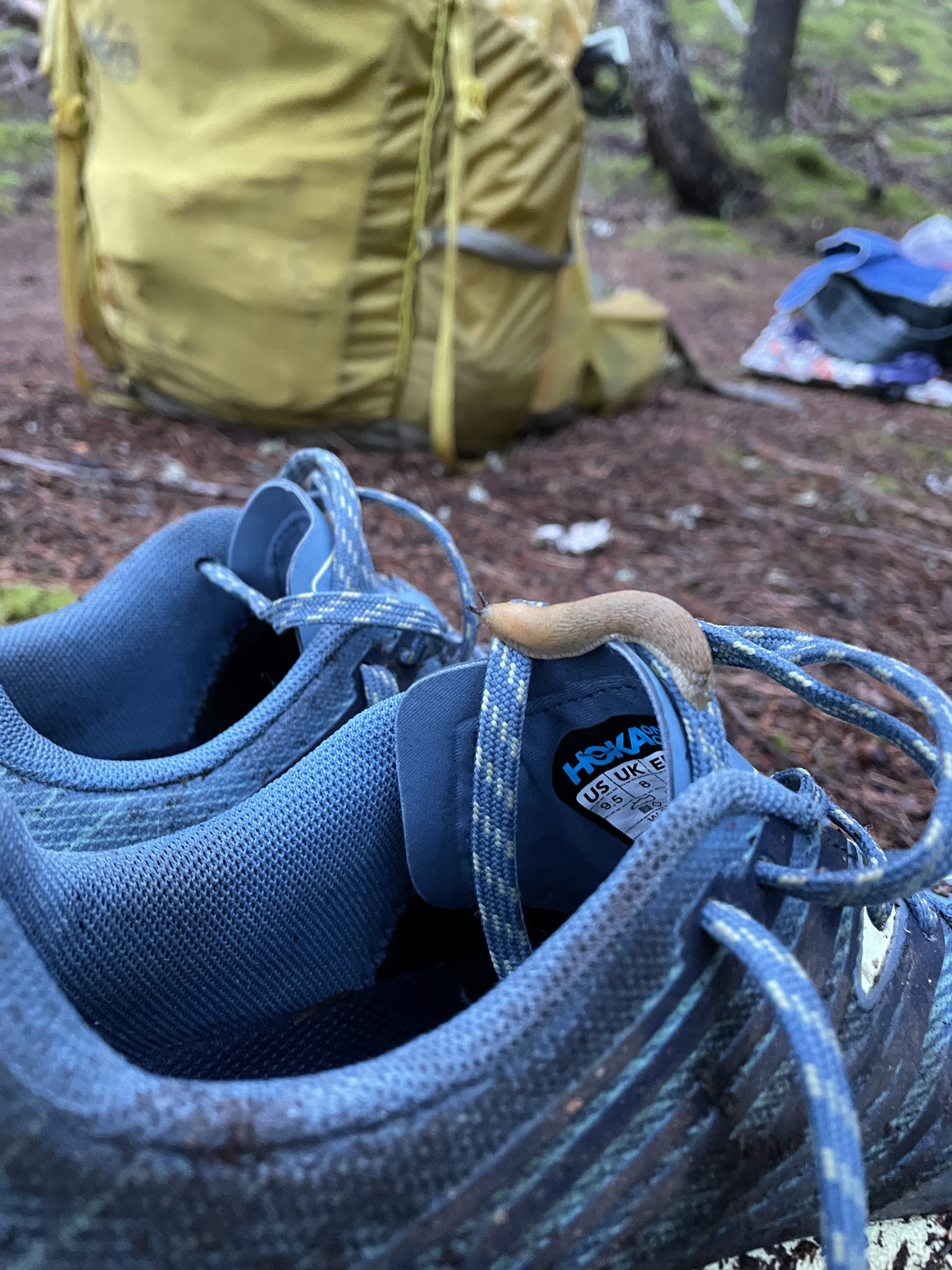
I was up early, in part because of anticipation, but also because with my tent two inches from the trail, I knew other hikers would be coming along soon. I loaded up, attaching soggy clothes to the outside of my bag and stuffing my wet tent into a plastic bag. When I picked up my sneakers, I found a slug making its way over the tongue. I flicked it off, undaunted by something that would have grossed me out two weeks ago.
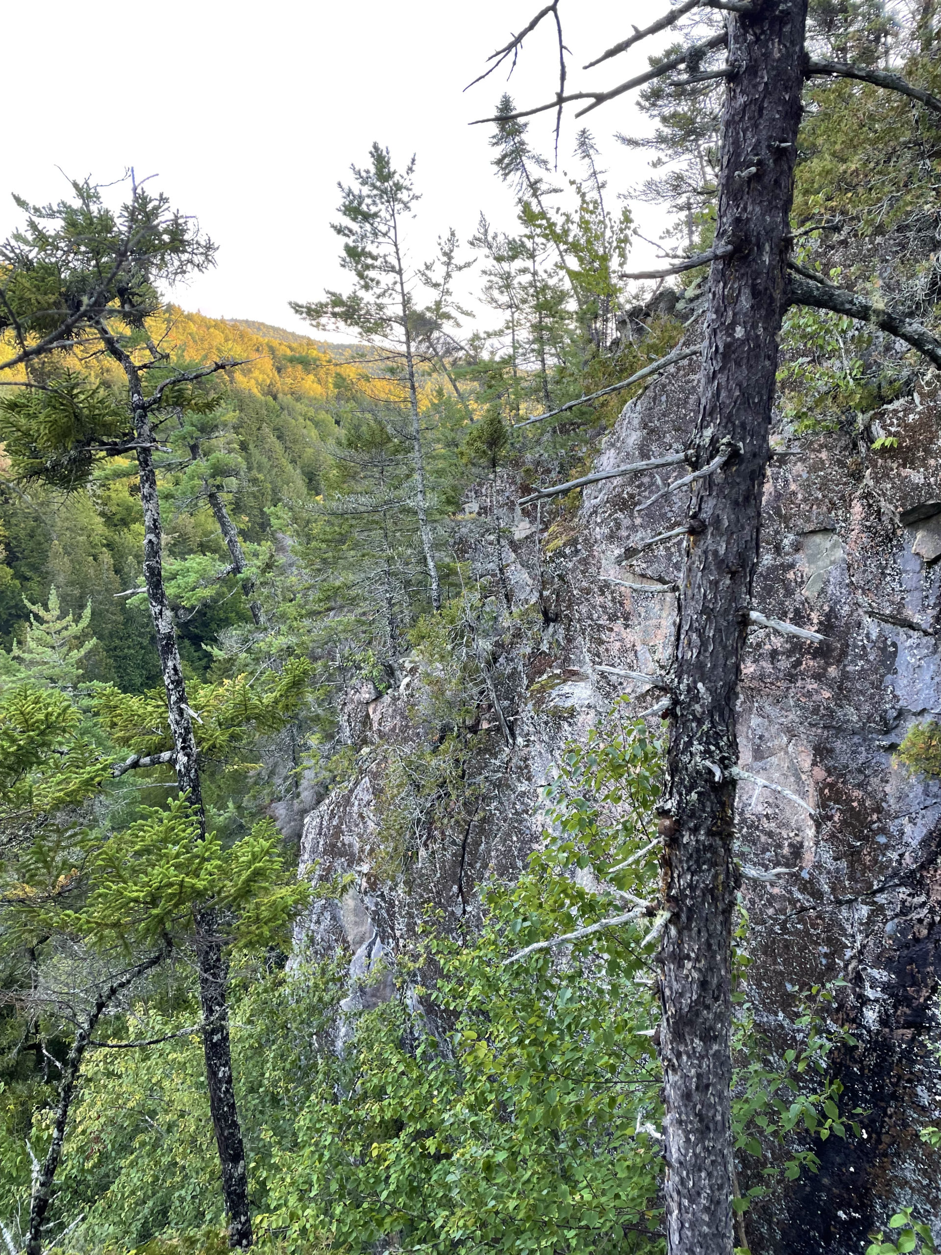
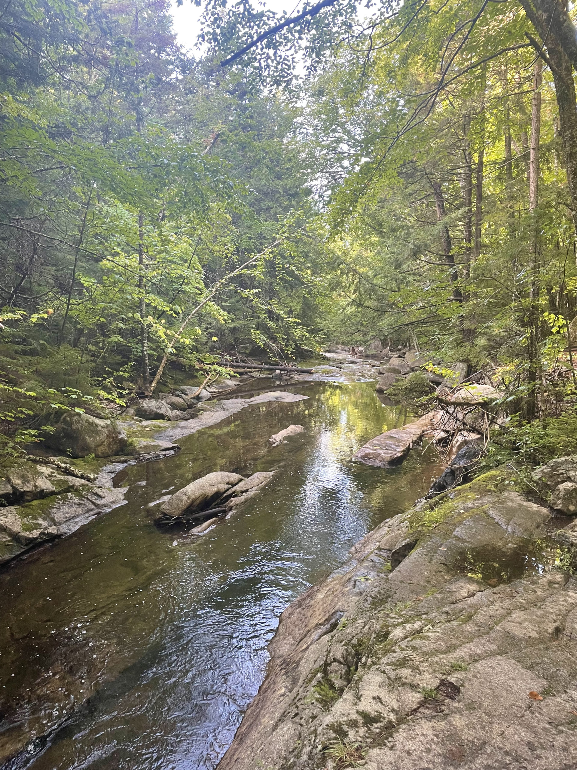
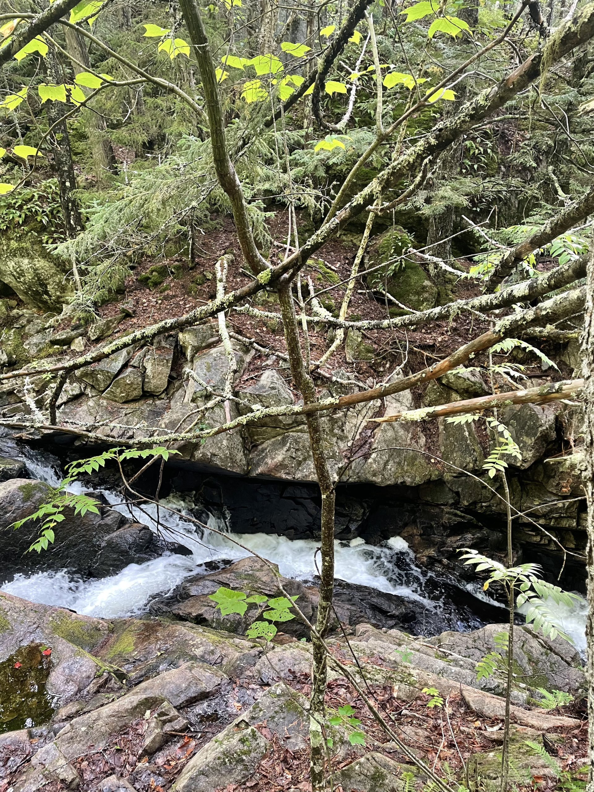
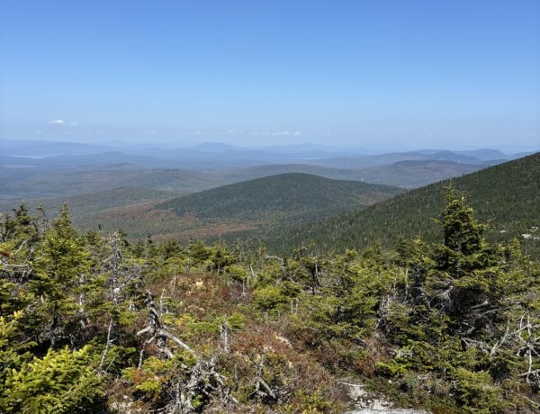
I walked a short distance to a spot called Pollywog Gorge. I’d seen it briefly the night before, when I was considering hiking further along the trail. It is a truly remarkable place, similar to Gulf Hagas in its natural grandeur. The sheer cliffs of the mile-long gorge rise 180 feet, an impressive and slightly terrifying sight. The overlook of the gorge is reached via a downward-sloping, gravel-strewn side trail, and it feels pretty precarious. I found out later the bottom of the gorge can be reached by a different trail, but not via the AT. This trek-worthy sight is part of the Nahmakanta Public Reserved Land, a protected 43,000 acre tract of forest, mountains, and ponds.
After breakfast overlooking (and not falling into) the gorge, I continued along Pollywog Stream until the crossing over a small wooden bridge. This area does see some day hikers, thanks to several dirt roads and the well-established Nahmakanta Lake Wilderness Camps. When you leave the Nahmakanta Public Lands and head for Rainbow Lake, the wilderness returns.
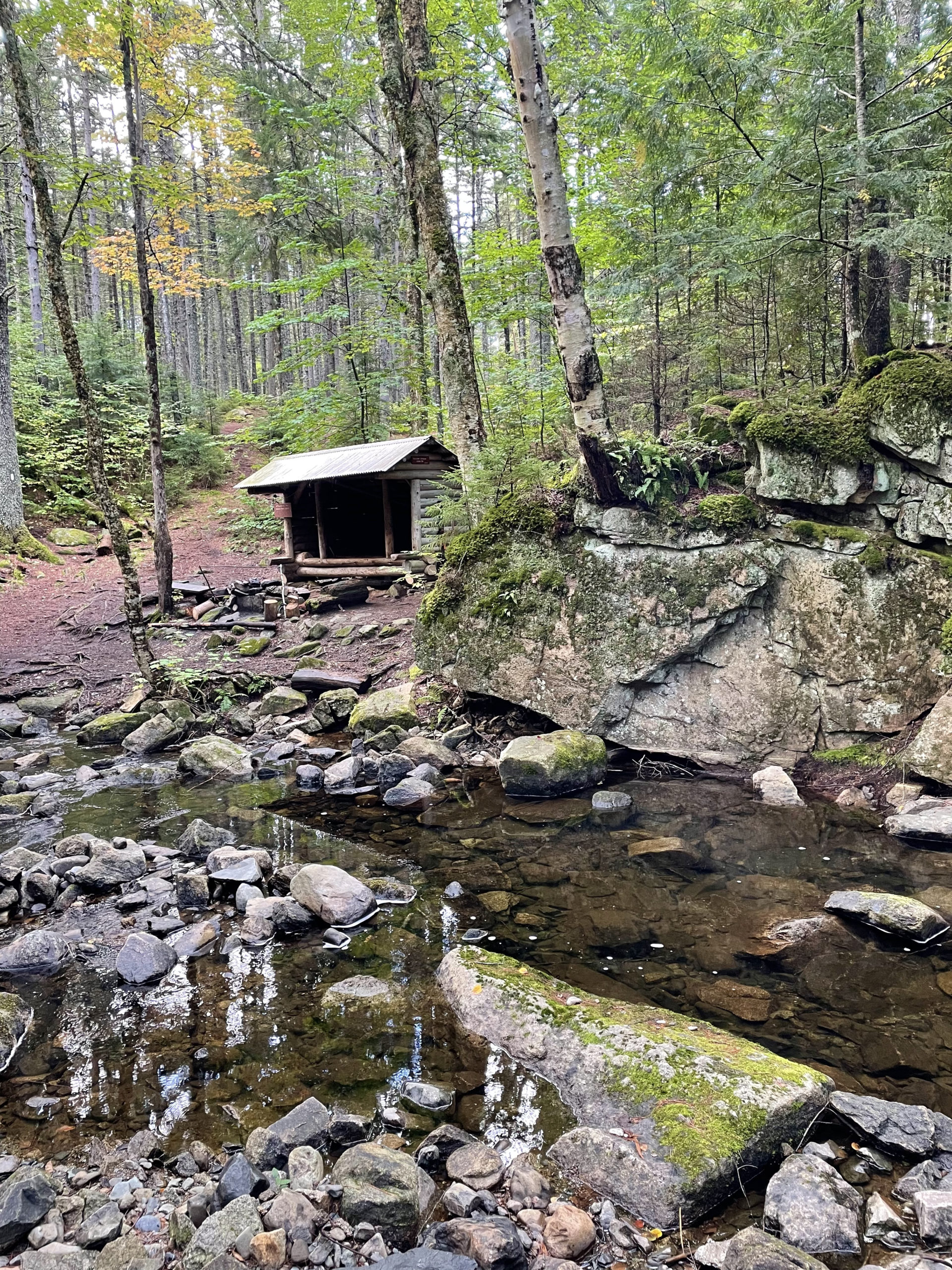
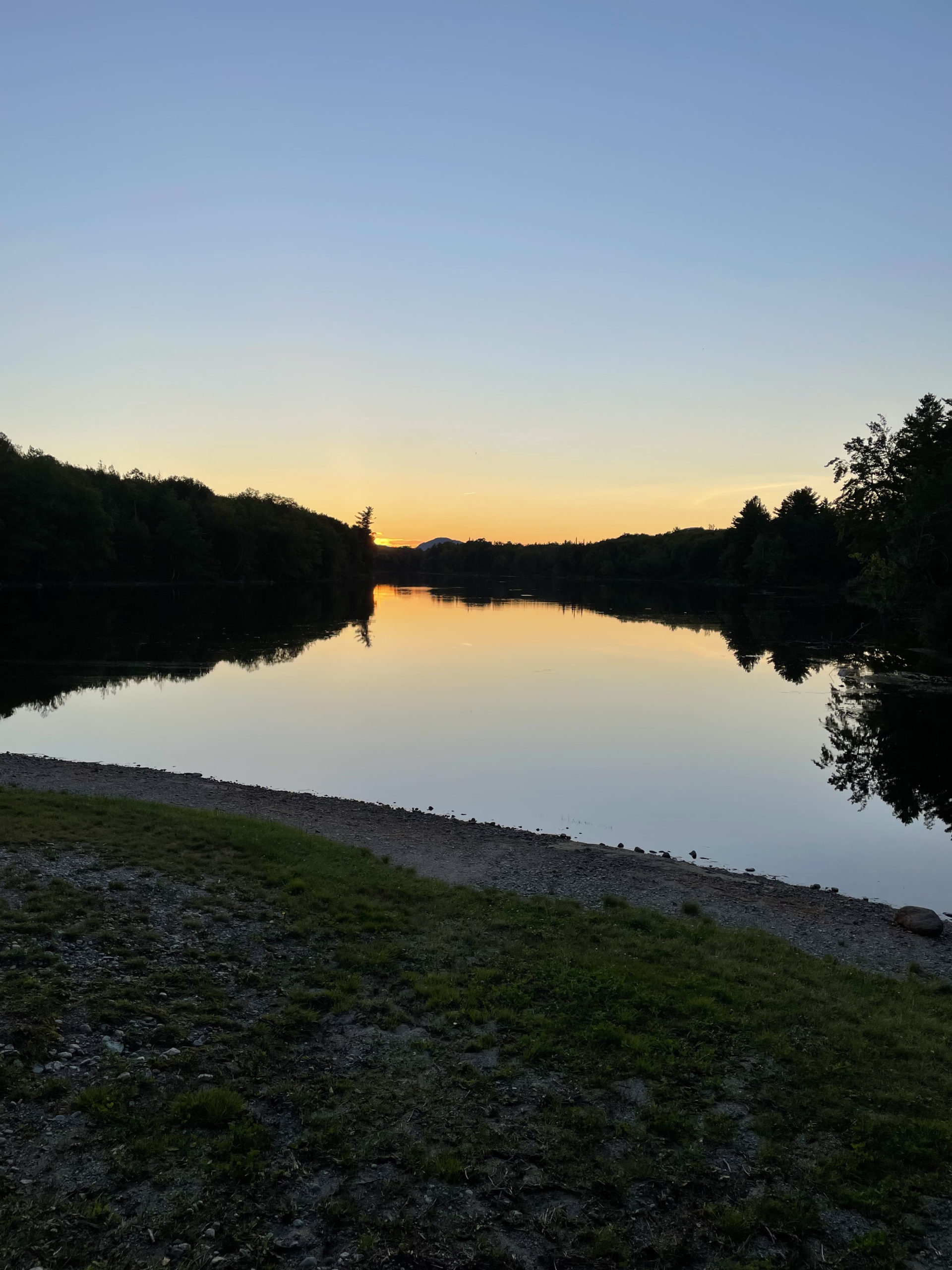
The lean-to at Rainbow Stream is lovely, another great spot to cool off. This day was warm, and I took advantage of a swimming hole a little further along. It took me a moment to decide whether or not I wanted to go in. I mean, I wanted to, but it was also going to take extra time to drop my bag, shed some clothing, dry off, and get going again. I considered walking on… and then shook my head and said out loud, ‘Get in the river. This is why you’re out here.’ It was freezing and invigorating and worth every minute I spent there.
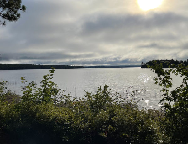
I stopped again when I reached the Rainbow Deadwaters, which is a pond-like extension of Rainbow Lake where there is little to no water flow (the definition of a deadwater). The loons were having an in-depth back-and-forth about their plans for the day, with other birds chiming in occasionally. It was magical to listen to; everything else was so still and quiet and colorful.
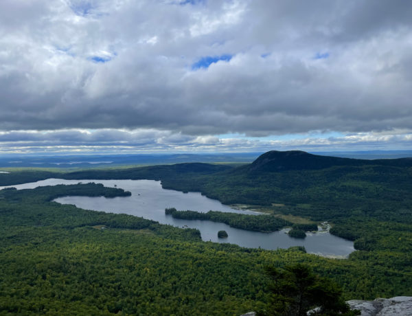
Past the deadwaters, the west side of Rainbow Lake is home to a thriving beaver community. Fallen trees and shavings covered the forest floor, and the trail had been diverted slightly to avoid a very muddy beaver-made obstacle course. The AT continues along the south side of Rainbow Lake for about seven miles, and it is beautiful the whole way. The footing is fairly easy and flat, a good opportunity to put away some miles.
I was chugging along the trail and came up over a small rise. Directly in front of me, resting on a large rock and eating a granola bar, was Grampa Fuzzy.
“Just the man I’ve been looking for!” I said. “I tried to catch you yesterday but you were moving too fast.” I pulled out his paracord and the bag. “You forgot this at Antlers.”
He took it from me, a little flustered. “Over 2000 miles, all the way from Georgia, and this is the first time I’ve left something behind,” he said. “Thank you for picking it up. I really appreciate it.”
“No problem,” I said. “I hope the rocks weren’t important, because I dumped them.”
He laughed. “No. The rocks weren’t important.”
We started hiking together, and I learned all about Grampa Fuzzy’s life. At 70, he’d decided to hike the Appalachian Trail alone for the first time. He spent six months preparing his own dehydrated meals and mapping out his course (which he’d stuck to almost to the day). Along the trail he’d overcome a broken rib after a fall on wet rock. ‘The nurse told me to rest for a few weeks,’ he said. ‘I told her that wasn’t going to happen.’
Grampa Fuzzy reminded me so much of my dad, and his marriage was almost parallel to my parents’. Married young, he and his wife hadn’t been apart since he was part of the National Guard fifty years ago. He saw her briefly when he hiked through New Hampshire (where he’s from) but basically they’d been apart for the five months he’d been on the trail.
“I miss her terribly,” he said, and he told me the most profound lesson he’d learned on the trail was the importance of family.
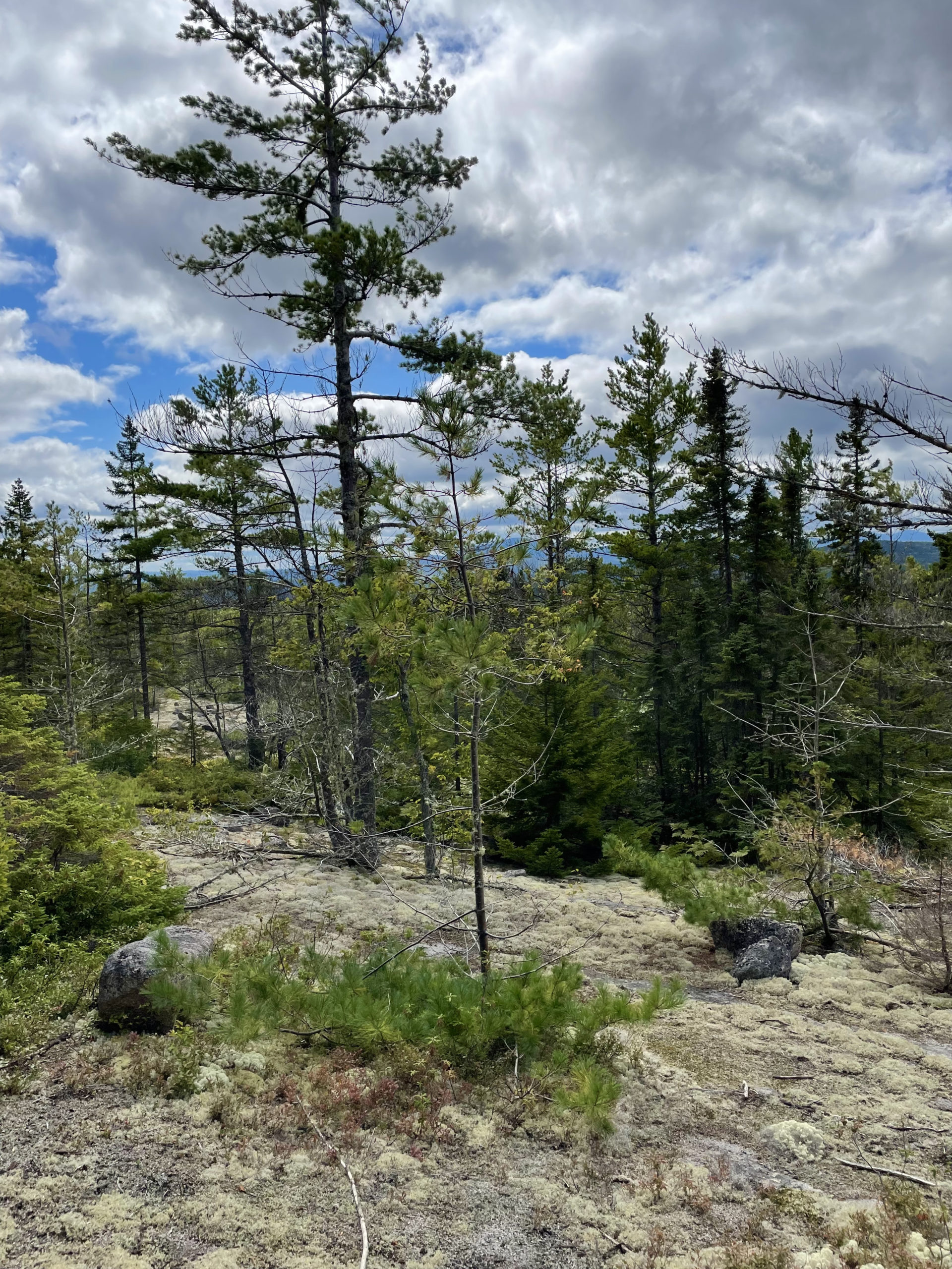
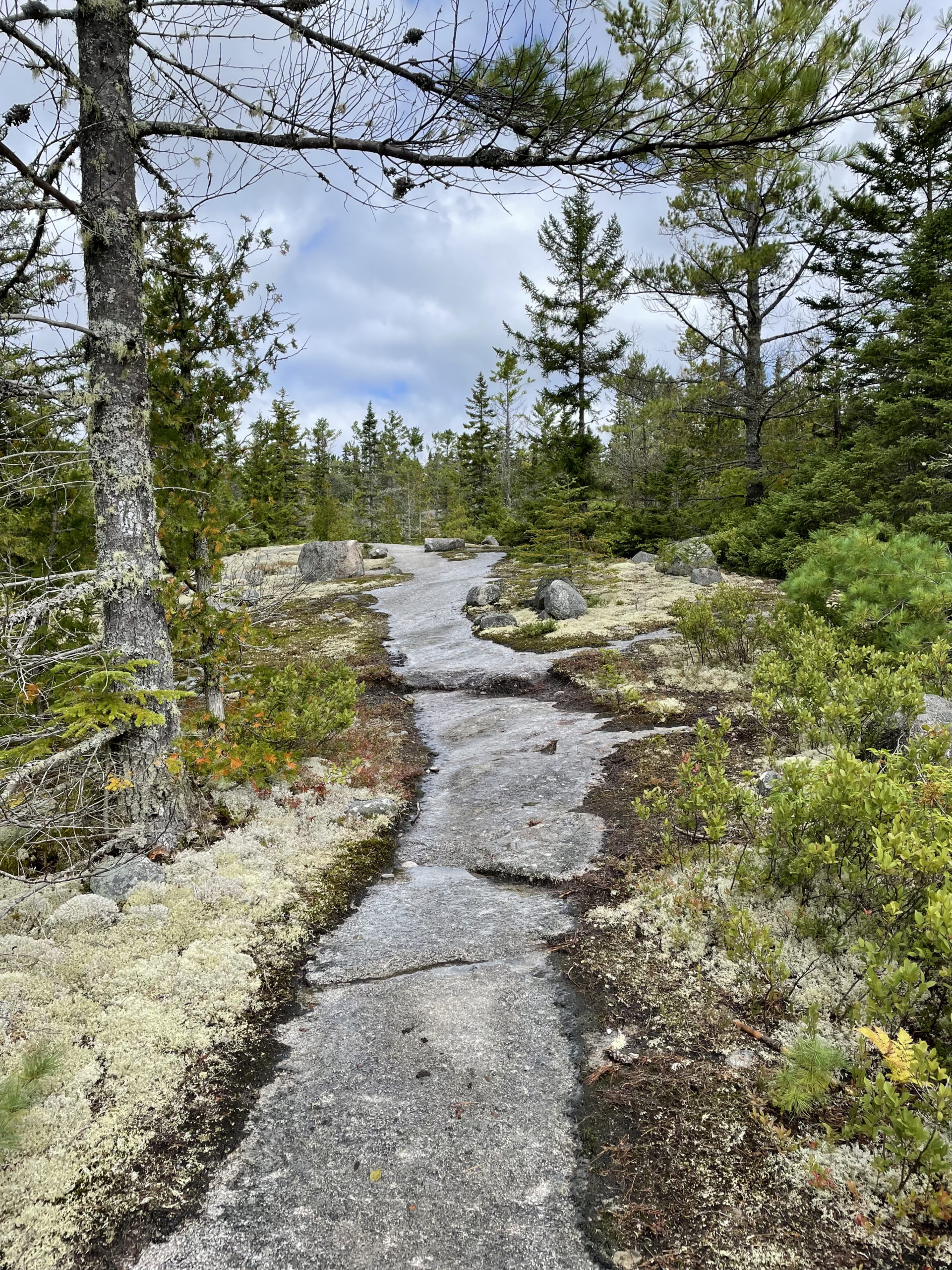
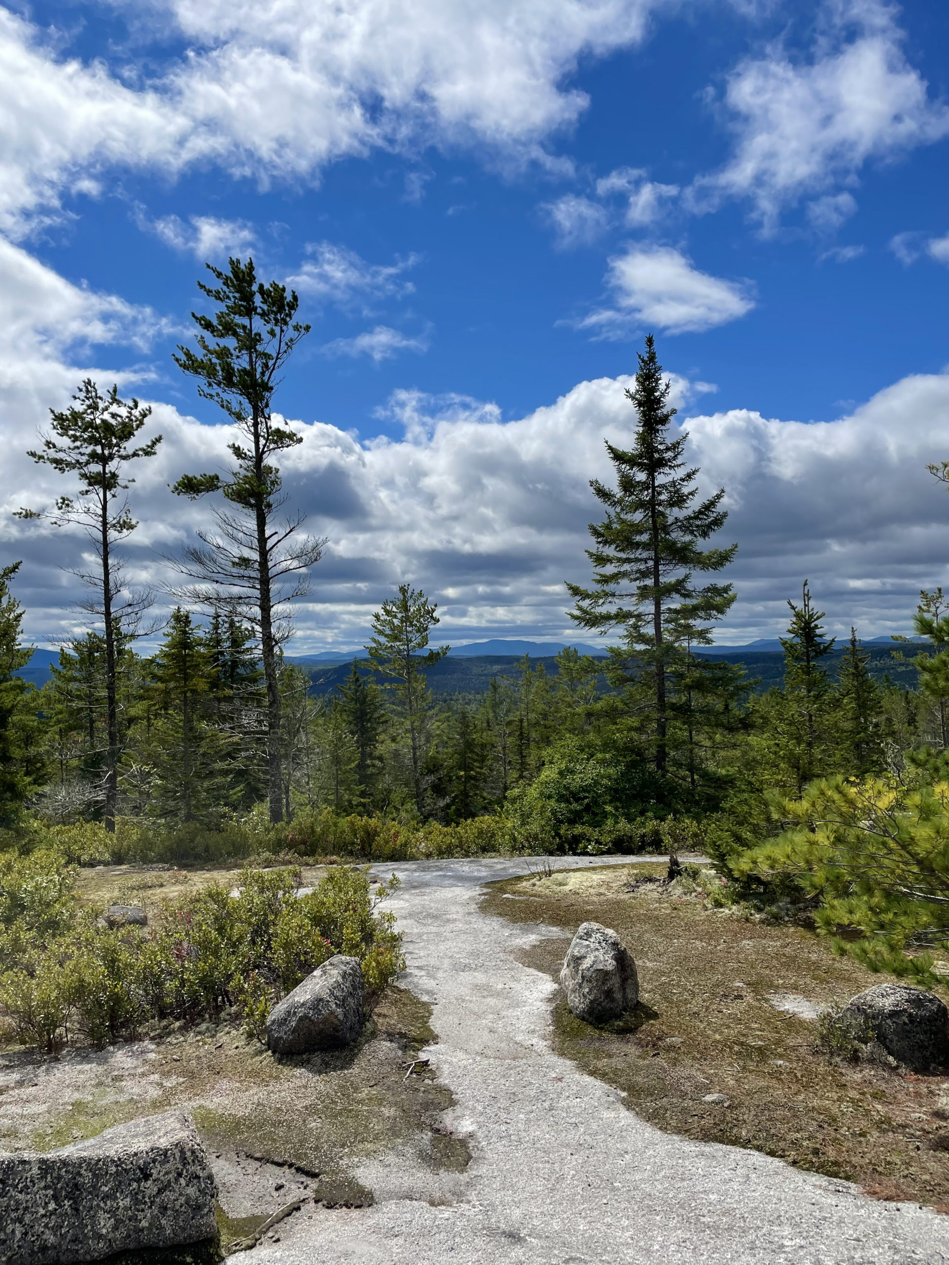
The miles flew by while we talked, and before I knew it, we were climbing Rainbow Ledges. This beautiful stretch of trail traverses exposed rock edged by colorful lichen and low scrub. We reached Hurd Brook Lean-to around 2pm, where we ran into several other hikers discussing the conditions on Katahdin. Those of us who had fallen into sync with each other had been planning to stop at Abol Bridge for the night, then hike into Baxter State Park the next day, a fifteen mile stretch to reach The Birches, the campground reserved for thru hikers. We planned to summit Katahdin from there, about 5.5 miles up the Hunt Trail to the AT terminus at Baxter Peak on Wednesday (day 8 of my trip).
Wednesday was predicted to be a washout. In extreme cases of bad weather, the Park Rangers at Baxter will close the summit for safety.
The debate became: try to get to The Birches tonight and hope it wasn’t full (for me, this would mean a 33 mile day), or get up at 5am the next day and hike all the way to the summit from Abol Bridge (also close to 30 miles, but with rest overnight). News came along that The Birches was already full, so tomorrow had to be the push. There was also a rumor the campgrounds at Abol (one private, one state run) were full, which left us all wondering where we would be sleeping that night.
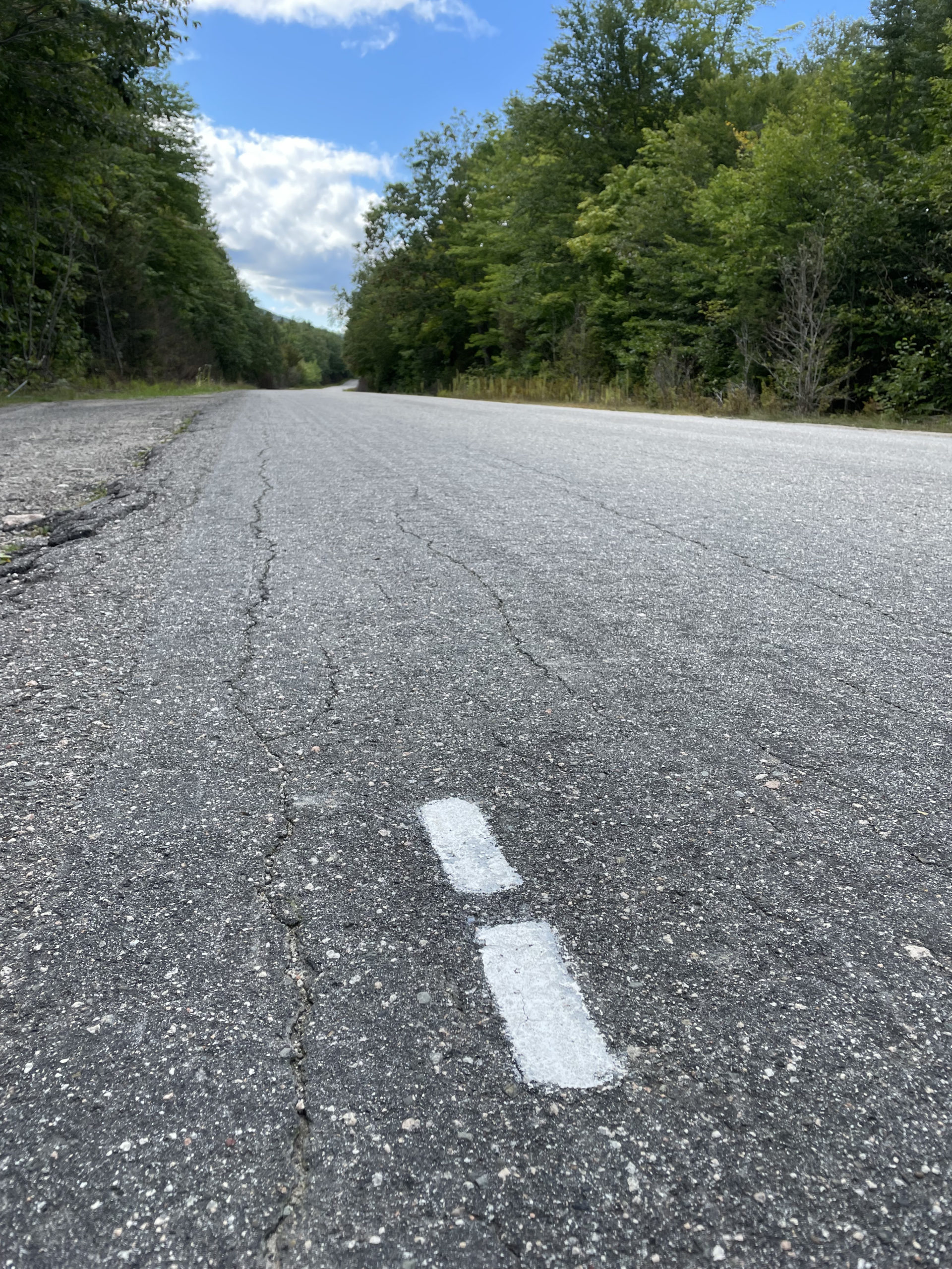
Grampa Fuzzy decided to stop for lunch at the lean-to, but I was eager to keep going and figure out my next move re: camping. The final three miles of the trail were a beautiful blur. I heard the Golden Road before I saw it as the logging trucks sped past. When I stepped out onto that road, I was overcome with emotion. I said (out loud, of course, because at this point I was talking to myself all the time) ‘I fucking did it.’
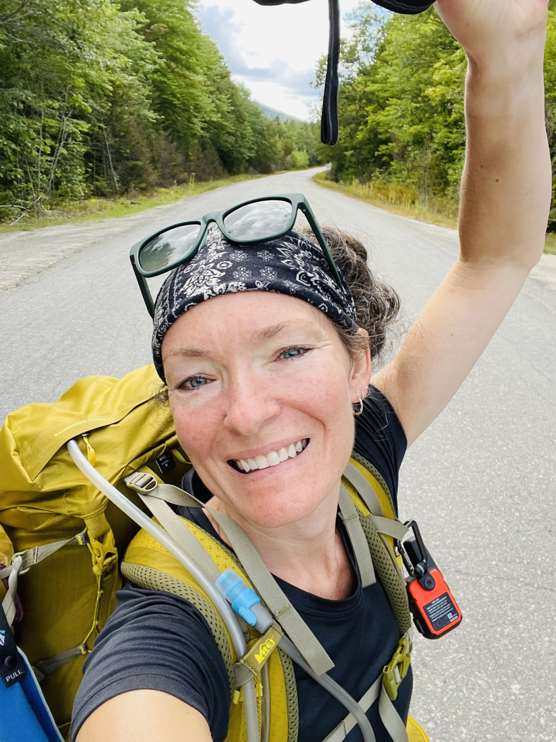
My shoulders hurt, my knee was killing me, I smelled absolutely awful, but… I made it.
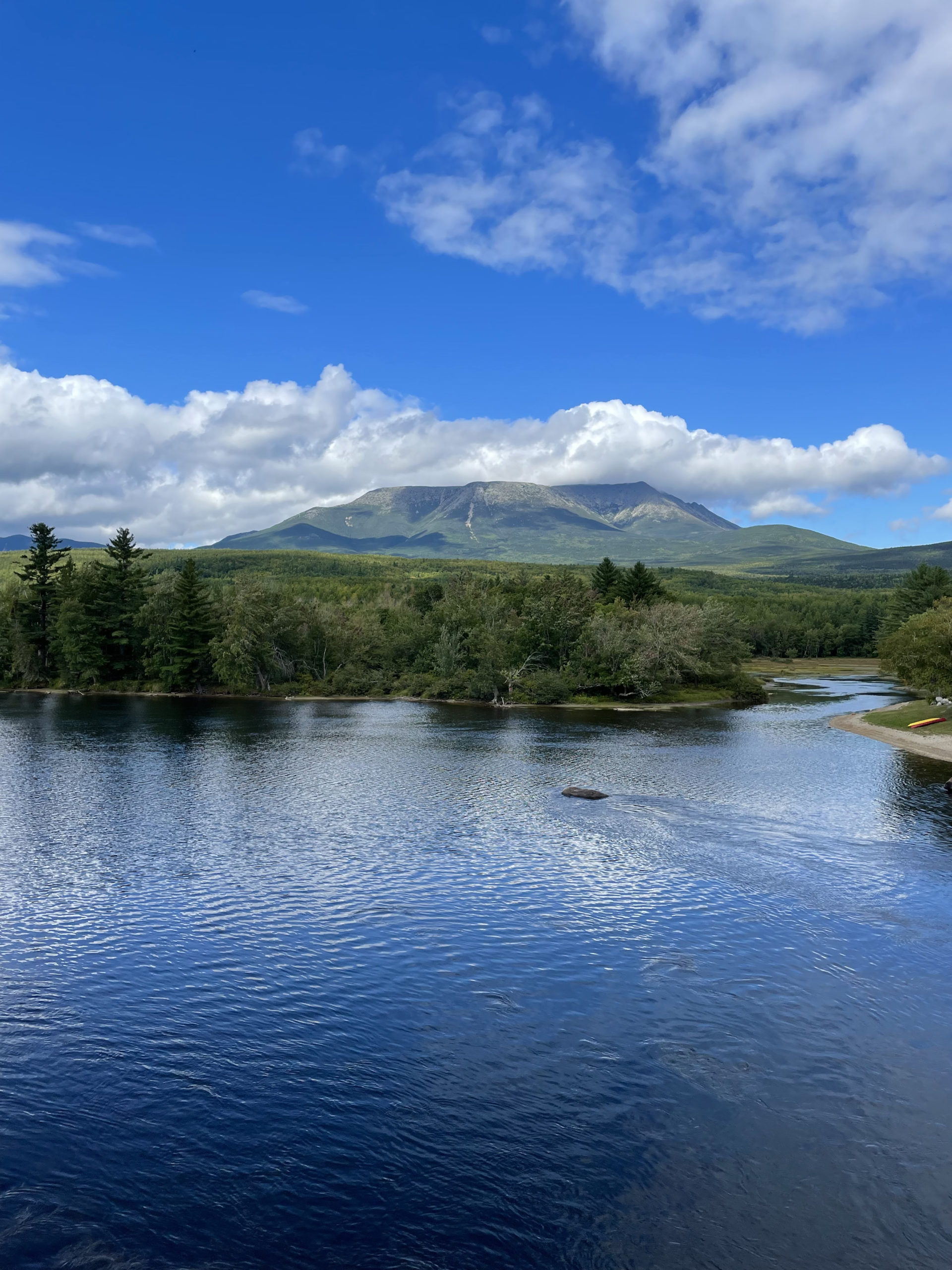
I walked (more like floated) across the Abol Bridge with a huge smile on my face and stared up at Mt. Katahdin. It looked massive and majestic and foreboding. Across the bridge I found both the state and private campgrounds had plenty of space. The rumors of them being full were false. The private campground had a general store and an ice cream window. I bought beer to share, chips, and Gatorade.
I debated the $5 Abol Pines State Campsite versus the $30 private Abol Bridge Campground. I opted for a site on the river at the private campground, almost entirely because it came with a shower and access to laundry for an additional $5 (one wash, one dry, one soap packet). It also included a big, delicious breakfast in the morning. As I was heading out to my site, Grampa Fuzzy walked in.
“Get the site next to mine!” I said.
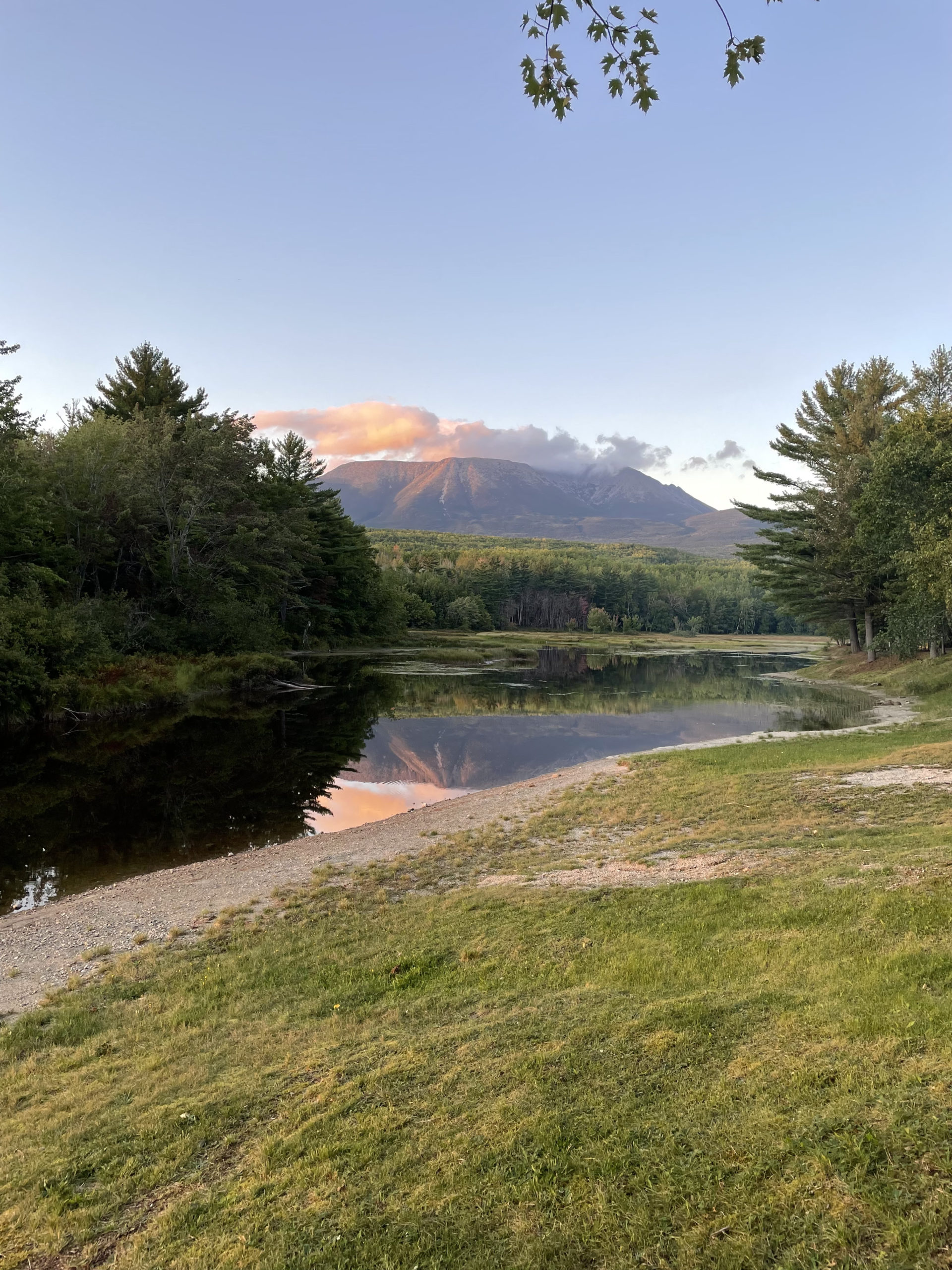
A few minutes later we were both setting up on the edge of the river, in the shadow of Katahdin.
It was windy, and Grampa Fuzzy had some wet gear to hang. He pulled out the length of paracord I’d picked up for him. “I can’t tell you how grateful I am that you picked this up,” he said. “If you hadn’t, I wouldn’t be able to dry my gear.”
We ate dinner together at the picnic table and shared a sleeve of Chips Ahoy Reese’s Pieces Cookies. We ate the whole thing. Grampa Fuzzy didn’t want to have to carry them the next day. Big Tuna, a thru hiker from Maryland, sat with us and shared the beer. I brought the rest to the state campsite where most of the thru hikers were staying. Then, we talked strategy.
Grampa Fuzzy wasn’t hiking Katahdin until later in the week, when he’d be joined by his daughter and her friend. He would stay for breakfast at the campground and then hike into Baxter to pick up a shuttle to Millinocket from Katahdin Stream Campground. There is an AMC lodge there where he planned to stay until his daughter arrived.
Big Tuna was planning to put in a big mile day in Baxter. He would get up before dawn to hike the remaining 20 miles to the finish the AT, plus another 5-ish miles to get back down. I was considering taking a shortcut across Blueberry Ledges Trail from Abol Stream to the start of the Hunt Trail. It would be an easy 4.2 miles into Baxter and then a tough 5.5 miles to the first peak of Katahdin. From there, I’d hike just under 2 miles to Hamlin Peak, the final summit of my New England 67 4000 footers. Then it was 4.6 miles down Hamlin Ridge Trail and the relatively chill Chimney Pond Trail and to finish at the parking lot for Roaring Brook where my family was meeting me.
I felt some regret about skipping those 15 miles of AT, but I was still looking at a 20 mile day. The extra fifteen would have put me at 30, the most I’d ever hiked in a day. And part of that 30 miles, although I didn’t know it yet but had a gut feeling, would be the toughest 4000 footer of them all. I also wanted to summit Katahdin before the rain and with the friends I’d made.
Blueberry Ledges it was. I set my alarm for 5am.
“You’ll miss the big breakfast,” Grampa Fuzzy said. “I’ll eat extra for you.”
We all went to bed early. Before climbing into our tents, Grampa Fuzzy assured me he’d be awake to see me off at dawn.
Hike the Appalachian Trail’s 100 Mile Wilderness with a Registered Maine Guide!
10 Comments
Misa
February 11, 2023 at 3:44 pmHello, did you have to cross a river/lake with a boat that has a certain time to board during the 100 mile wilderness? I’m planning this hike and wondering what time I have to be there to not miss the boat. Thank you in advance!
Sarah Holman
February 11, 2023 at 7:53 pmHi Misa,
Nope, no boats needed! There are three river crossings and all are forded on foot. Two have ropes strung across the water to help you. I’ve hiked the 100 twice, both times in September, and I never had water above my knees. I’ve heard it can be higher in the spring or after a lot of rain. The boat you’re referring to may be a private service you can hire to pick you up and take you across a lake to a lodge for a night off-trail (or to bail you out if you don’t want to continue the hike). Either way, it’s completely optional and scheduled as-needed with the boat service. I’ve never researched it, but I believe it’s about half way through the hike.
Good luck with your planning, and don’t hesitate to reach out if you have more questions. The 100 is an incredible experience and being prepared is key! Happy hiking!
Sarah
Misa
February 13, 2023 at 11:44 amHi Sarah,
Thank you for your response! I plan to complete the 100 miles without bailing out and looking forward to this adventure in late August! Your blog does not mention any mosquito/blackfly. I’m hoping I won’t have to deal with them too much on the trail.
Sincerely,
Misa
Sarah Holman
February 14, 2023 at 9:23 amLate August will be a beautiful time for your trip! I’ve never had bugs in early September (they’re much worse in the spring/early summer). Good luck!
Misa
February 20, 2023 at 1:22 pmThank you!!!
rob boudewijn
August 11, 2024 at 9:20 pmYour logging of your 21 hike is fascinating. I’ll be starting Sept,. 1. A tad anxious, only because at 77, though healthy, I know I’m not as strong as years ago. Your detail is very helpful and has me thinking of changing some of my nutritional load as I’d like to keep me pack at about 35 for 10 days, max. again thanks, rob.
Sarah Holman
August 11, 2024 at 10:05 pmHi Rob, thanks so much for reading my blog and taking time to comment. September is my favorite time of year to hike the 100 Mile Wilderness, and giving yourself 10 ten days will be wonderful. Keep your pack light for sure! Utilizing a food drop is a great way to do that, and also remember there are many water sources on the trail, so you can carry a bit less an fill up more often. If I can offer any other advice, please email! Best of luck and happy hiking!
rob
September 8, 2024 at 12:46 pmHello Sarah: Well, just an update. I had high hopes to do the 100 mile, but by day 3 and 30 miles, I was spent. I can attribute it to several decisions, but ultimately decided that I didn’t want to put myself or any one else at risk if I got injured. Very humbling and as well enormous respect for this who do all or part of the hike. I did use Shaws and the one caveat advise would be, be very clear what is a reasonable time for food pick up and then add 2-3 hours. Met some wonderful folks and I thank you for the encouragement and advice. Keep well. rob.
Sarah Holman
September 14, 2024 at 8:56 amHi Rob, thanks for the details, hopefully this info will be helpful for others attempting this tough hike! The first 30 miles are really hard, definitely the hardest of the 100. I didn’t utilize Shaws for my food drop for the reason you described – I was worried about making the time. There is another outfitter in Monson (now called Hundred Mile Wilderness Adventures), and the former owner put food drops in a bear box so you could pick up whenever you got there. I’m not sure if they’re still offering that service, but it’s worth checking it you decide to tackle the next 70 miles! If not, I hope you feel good about your attempt – those 30 miles are no small feat! Best of luck and happy hiking.
rob boudewijn
September 11, 2024 at 11:29 amhello Sarah: Well I started the 100 mile in Monson and unfortunately by mile 30, day 3, I was spent. I overdid it the 2nd. day, doing 13 miles, in part to make my connection on day 3 for food drop off. Great hike, but much more difficult than I realized. That with some poor decision making, for example planning pickup earlier than I should have, more food than I needed. Nevertheless it was a good experience, humbling, learning and meeting some impressive folks on the trail. I appreciate your advice and admire your skills and knowledge. keep well, rob.